The best walks and hikes around Les Villedieu
4.6
(1990)
16,432
hikers
365
hikes
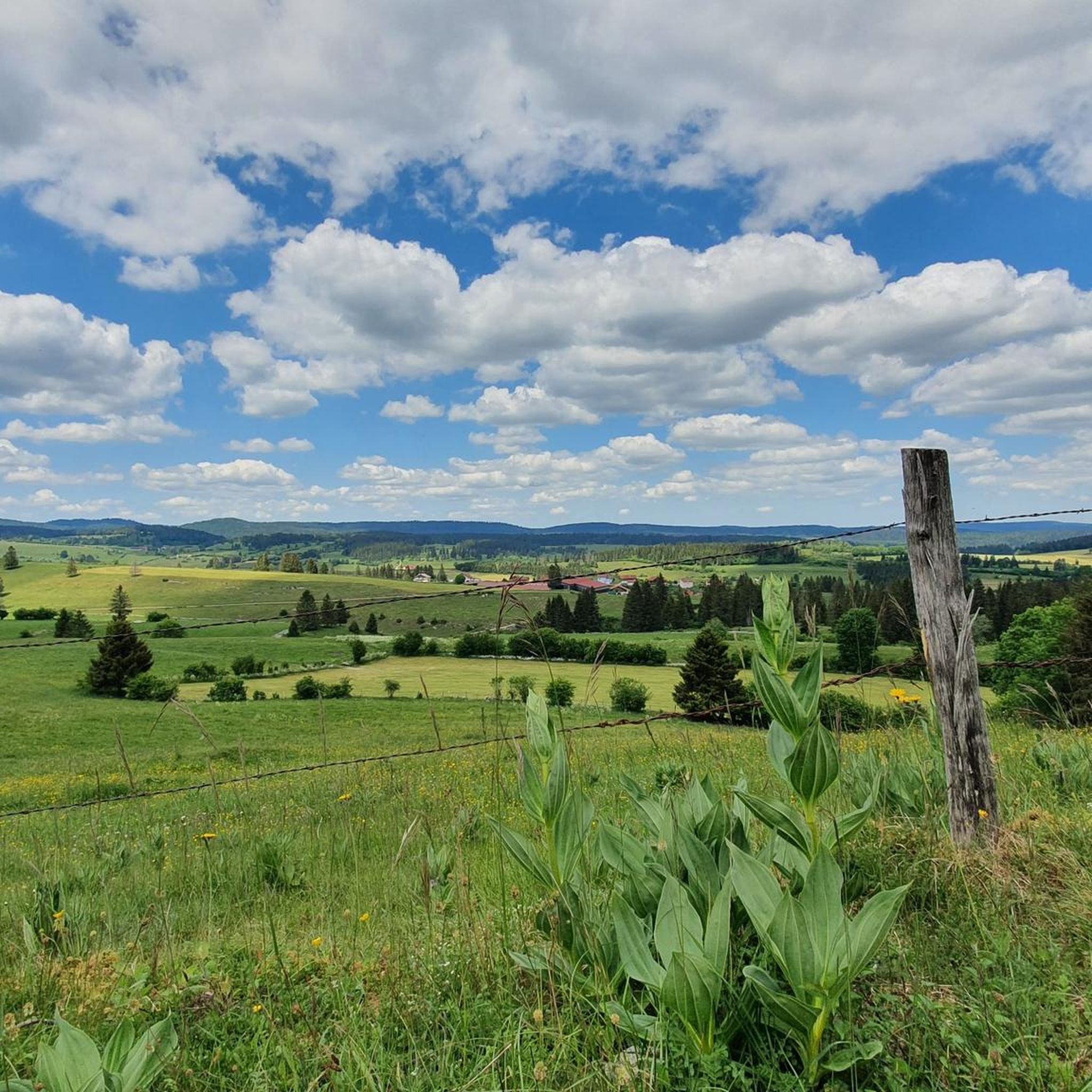
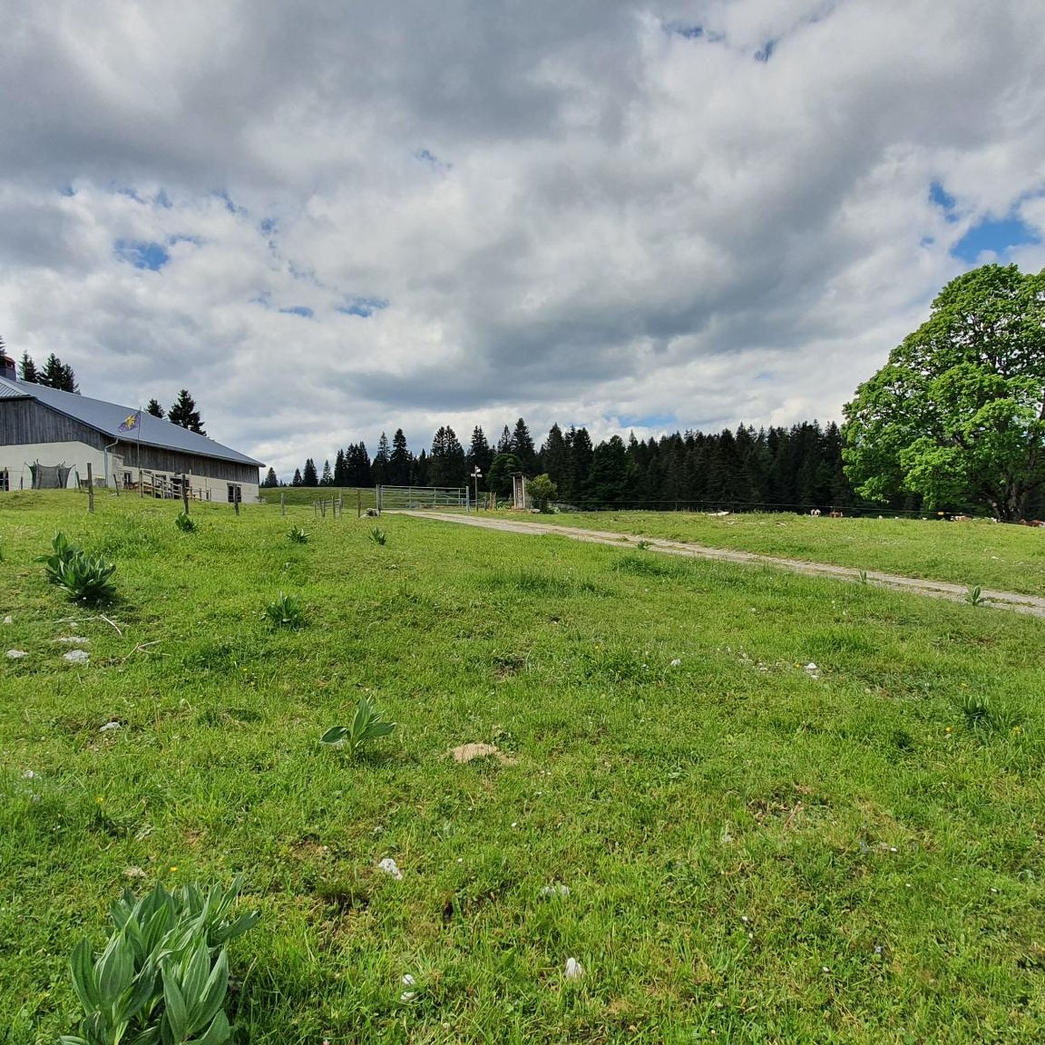
Hiking around Les Villedieu offers diverse terrain, characterized by a mix of forests, meadows, and river valleys. The region features varied elevations, from gentle slopes to more challenging ascents, providing a range of experiences for hikers. Natural features include the Doubs River and the Mont d'Or massif, contributing to a landscape suitable for outdoor exploration.
Best hiking trails around Les Villedieu
- The most popular hiking route is Mont d'Or – Mont d’Or Meadows and Forests loop from Les Granges Raguin…
Last updated: July 6, 2026
4.8
(13)
142
hikers
13.9km
04:04
390m
390m
Moderate hike. Good fitness required. Easily-accessible paths. Suitable for all skill levels.
4.3
(11)
54
hikers
12.2km
03:26
250m
250m
Moderate hike. Good fitness required. Easily-accessible paths. Suitable for all skill levels.

Sign up for free
3.9
(12)
34
hikers
9.71km
02:41
160m
160m
Moderate hike. Good fitness required. Easily-accessible paths. Suitable for all skill levels.
4.5
(4)
25
hikers
21.7km
06:23
610m
610m
Hard hike. Very good fitness required. Easily-accessible paths. Suitable for all skill levels.
4.7
(3)
22
hikers
Easy hike. Great for any fitness level. Easily-accessible paths. Suitable for all skill levels.
Get access to more routes and recommendations from other explorers.
Sign up for free
Already have an account?
Our route recommendations are based on thousands of hikes, rides, and runs completed by other people on komoot.
Start today with a free account
Your next adventure awaits.
Login or Signup

Tips from the Community

Small bridge in the Doubs source area with a beautiful view of the water.
2
0
Viewpoint above the Doubs source with beautiful views through a forest clearing to Mouthe and the Doubs river.
6
0
The source of the Doubs River is a powerful karst spring in a heavily karstified area of the Jura Mountains. It lies at an altitude of 937 meters at the foot of the forested, up to 1,419-meter-high Mont Risoux mountain range, which straddles the border between France and Switzerland. The Doubs River rises from a small, approximately five-meter-deep spring basin in a cave in the rock.
6
0
The Mont d'Or is a mountain in the Jura Mountains on the border between France and Switzerland, whose summit is 1463 m in the French department of Doubs, not far from the national border, north of the Swiss town of Vallorbe.
2
0

superb view, technical climb to get there but not very long
0
0

Granges Raguin is a simple restaurant where you can refuel for very reasonable prices before continuing your walk or bike ride.
0
0
On clear days you can see the snow-capped peaks of the Alps
1
0

Formerly, the lakes of Remoray and Saint-Point were one. From this superb viewpoint, you can appreciate the different environments created by the separation of the two bodies of water: lakes, marshes, peat bogs, rivers, meadows and forests. A unique point of view in a perfect alignment which allows you to enjoy all the beauty of this typical landscape of Haut-Doubs.
0
0
Frequently Asked Questions
What kind of terrain can I expect on hikes around Les Villedieu?
The hiking terrain around Les Villedieu is quite varied, reflecting the two distinct regions it encompasses. In the Lozère area, you'll find a mosaic of lakes, marshes, peat bogs, rivers, meadows, and forests, with features like Lake Charpal and the Gorges du Fourperet. The Normandy side, particularly around Villedieu-les-Poêles, offers lush green fields, gentle hills, orchards, and deciduous forests, with the scenic Airou Valley and panoramic views from Mont Robin. You'll encounter everything from riverside paths to forest sections and open meadows.
How many hiking trails are available in Les Villedieu?
There are over 360 hiking routes available around Les Villedieu, catering to a wide range of preferences and fitness levels. This includes approximately 124 easy routes, 199 moderate routes, and 37 more challenging trails.
Are there any easy, family-friendly walks suitable for all ages?
Yes, Les Villedieu offers several easy routes perfect for families. One excellent option is the 2 lakes lookout loop from Brey-et-Maison-du-Bois, which is an easy 5.3 km path. The Normandy region also features a network of signposted trails, typically ranging from 5 to 15 kilometers, many of which are suitable for leisurely strolls through gentle hills and orchards.
What are some notable natural attractions or landmarks I might see on a hike?
Depending on which part of Les Villedieu you explore, you can encounter diverse natural beauty. In the Lozère area, look out for Lake Charpal, the Gorges du Fourperet, and the Réserve Naturelle Nationale du Lac de Remoray. Near Villedieu-les-Poêles in Normandy, the Airou Valley is particularly serene, and Mont Robin offers breathtaking panoramic views. You might also spot significant peaks like Mont d'Or or Dent de Vaulion.
Are there any circular hiking routes in the area?
Yes, many of the trails around Les Villedieu are designed as circular routes, allowing you to start and end at the same point. A popular moderate option is the Mont d'Or – Mont d’Or Meadows and Forests loop from Les Granges Raguin, which covers 14.4 km. Another great choice is the Pont de Fourperet loop from Lotissement La Poullainse, a 12.2 km trail through varied forest and open terrain.
What is the best time of year to go hiking in Les Villedieu?
The best time to hike in Les Villedieu generally depends on the specific region and your preferences. Spring and autumn offer pleasant temperatures and beautiful scenery, with blooming wildflowers in spring and vibrant foliage in autumn. Summer is also popular, especially for higher altitude trails in Lozère, though some lower-lying areas might be warmer. Winter hiking is possible, particularly in the Normandy region, but conditions can vary, and some trails may be less accessible.
What do other hikers say about the trails in Les Villedieu?
The trails in Les Villedieu are highly regarded by the komoot community, holding an average rating of 4.6 stars from over 1,800 reviews. Hikers frequently praise the diverse landscapes, from river valleys and dense forests to open meadows, and appreciate the well-maintained network of routes that cater to various ability levels.
Are there any challenging hikes for experienced trekkers?
Yes, for experienced trekkers seeking a challenge, Les Villedieu offers several difficult routes. One such option is the Hiking loop from Rochejean, a demanding 24.8 km trail with significant elevation gain, perfect for a longer day hike.
Can I find places to stay or eat along the trails?
While specific cafes or pubs directly on every trail are not guaranteed, the region offers various accommodations and dining options in nearby towns and villages. In the Lozère area, you might find small inns or gîtes. In Normandy, Villedieu-les-Poêles itself has charming courtyards and local eateries. Additionally, some routes may pass by huts or refuges, such as the Bon Accueil Refuge or Clamagasin Hut, which can offer a place to rest.
Is public transport available to access trailheads in Les Villedieu?
Access to trailheads via public transport can vary. While some larger towns in the region may have bus or train services, many trailheads, especially in more rural areas, are best reached by car. It's advisable to check local public transport schedules and routes specific to your chosen starting point before planning your hike. For more general information on getting around the Normandy area, you might find resources on the local tourism website helpful.
Are there any cultural or historical sites to discover while hiking in Les Villedieu?
Yes, particularly in the Normandy region around Villedieu-les-Poêles, hikes can lead you through areas rich in cultural heritage. Along the Airou Valley, you might discover the Saint-Jean-Baptiste church in Champrepus, the Romanesque Notre-Dame church in Le Tanu, and the historic Pont du Guibel viaduct. The village of Le Chefresne also boasts ancient ruined temples, the 11th-century Saint-Pierre church, and a thousand-year-old yew tree, offering fascinating points of interest during your walk.
Most popular routes around Les Villedieu
Most popular attractions around Les Villedieu

Get inspired with the komoot mobile app


Explore more
Browse the best Hikes in other regions.
