The best running trails around Saint-Urbain
4.2
(135)
7,180
runners
306
runs
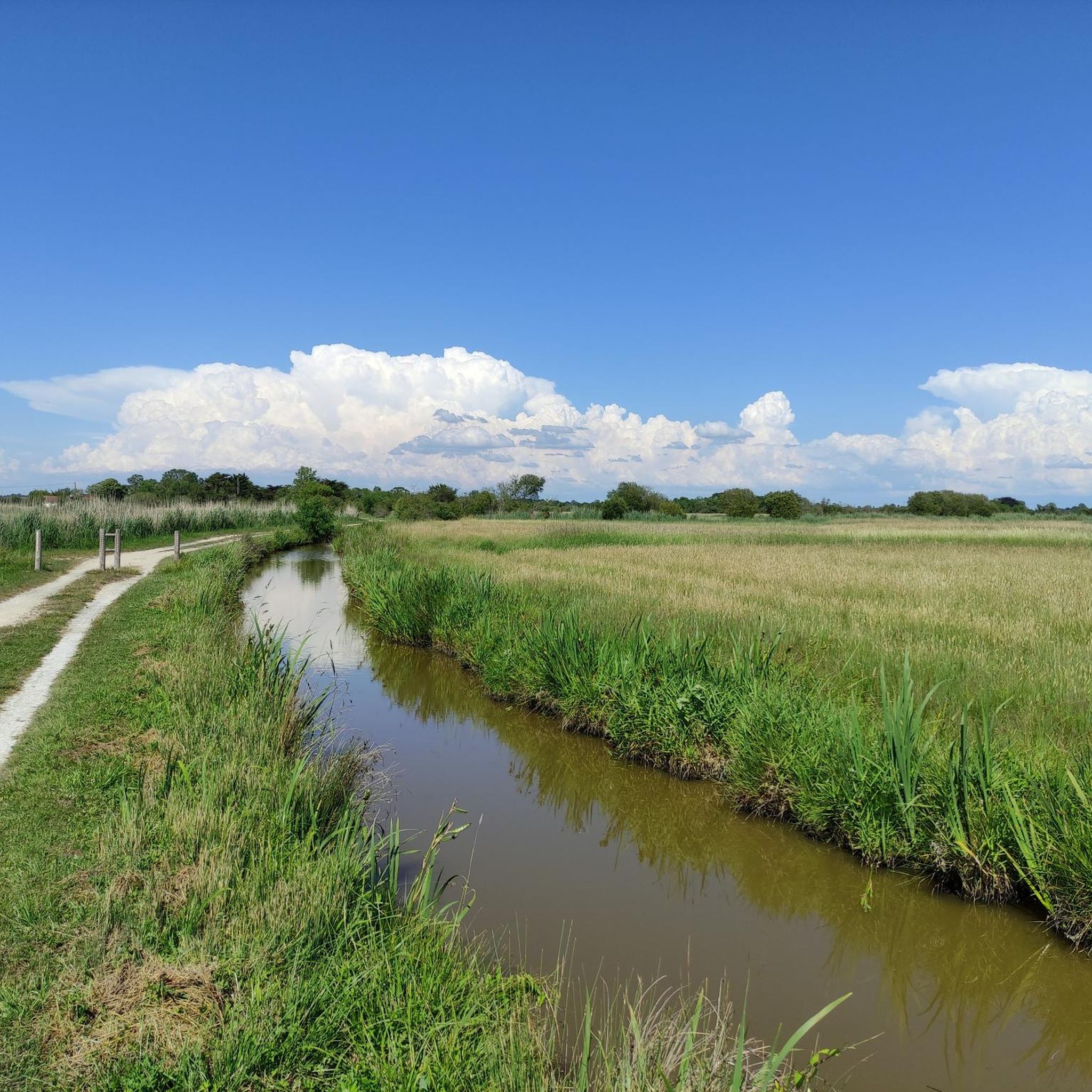
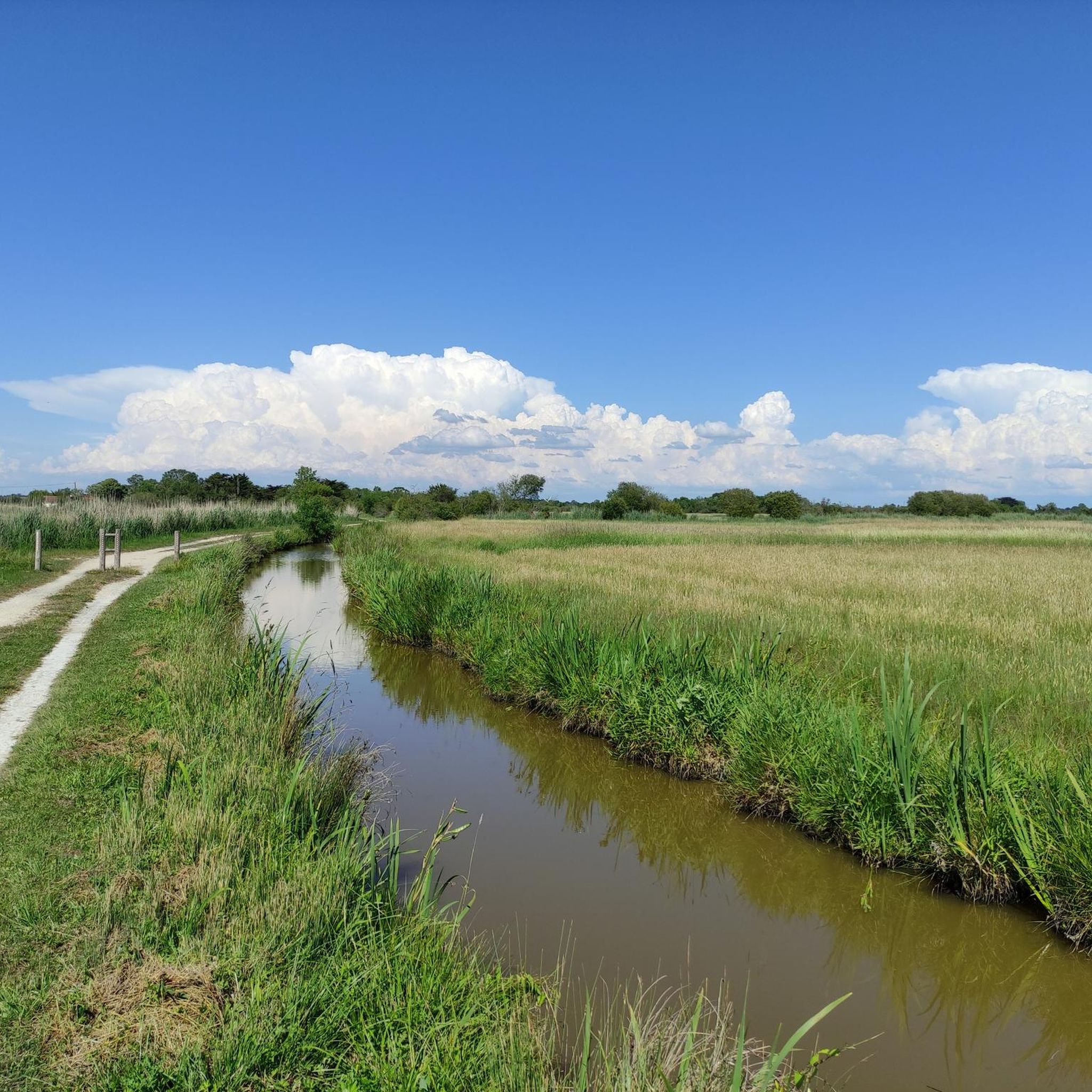
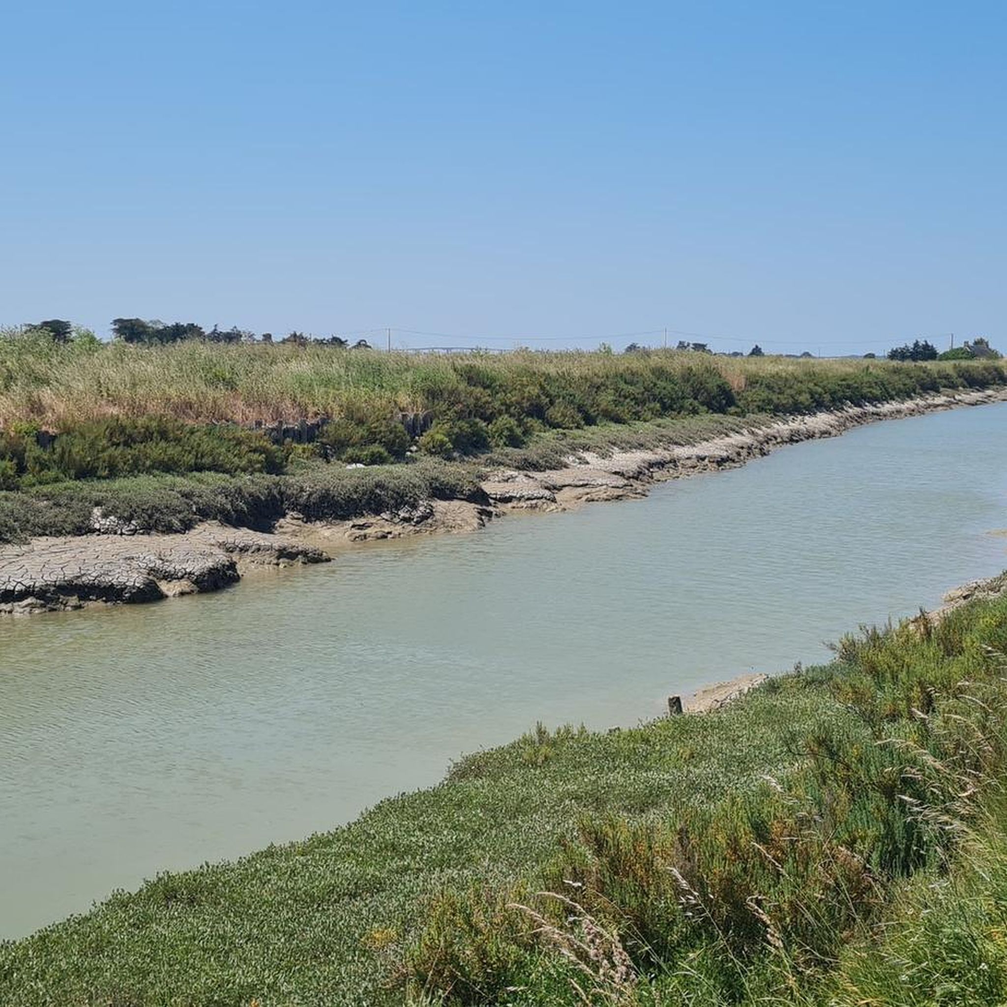
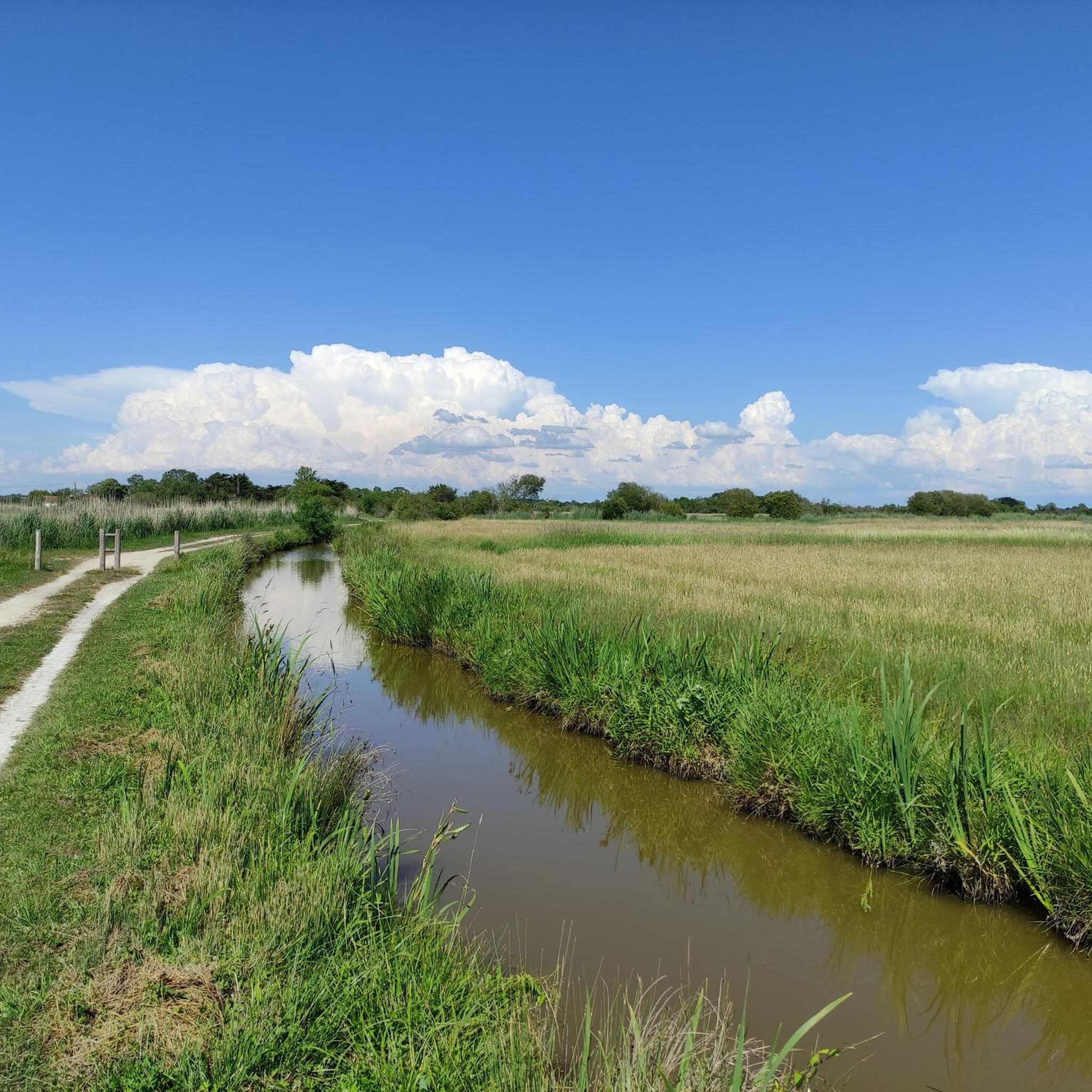
Jogging around Saint-Urbain offers a network of routes characterized by generally flat terrain and low elevation changes, making it accessible for various fitness levels. The region's landscape often features rural paths, open fields, and proximity to coastal areas, as indicated by routes near Beauvoir-sur-Mer and Port du Bec. These running paths provide opportunities to explore the local environment without significant climbs.
Best jogging routes around Saint-Urbain
- The most popular jogging route is Lost time loop from Beauvoir-sur-Mer, a 6.0…
Last updated: October 9, 2026
4.0
(2)
7
runners
9.00km
00:56
30m
30m
Moderate run. Good fitness required. Mostly paved surfaces. Suitable for all skill levels.
7
runners
14.8km
01:37
40m
40m
Moderate run. Good fitness required. Mostly paved surfaces. Suitable for all skill levels.

7
runners
11.1km
01:14
40m
40m
Moderate run. Good fitness required. Mostly paved surfaces. Suitable for all skill levels.
3.0
(1)
8
runners
Moderate run. Good fitness required. Mostly paved surfaces. Suitable for all skill levels.
8
runners
9.25km
00:57
10m
10m
Moderate run. Good fitness required. Mostly paved surfaces. Suitable for all skill levels.
Get access to more routes and recommendations from other explorers.
Already have an account?
Our route recommendations are based on thousands of hikes, rides, and runs completed by other people on komoot.
Start today with a free account
Your next adventure awaits.

Tips from the Community

Small village worth a detour, especially for its beautiful, perfectly preserved medieval church and the Rairé mill.
0
0

The Saint-Martin church is an 11th and 12th century church located in Sallertaine, France[1]. It belongs to the diocese of Luçon. It is dedicated to Saint Martin. This church is the remainder of an old priory founded at the beginning of the 11th century, dependent on the abbey of Marmoutier. Some masonry from the primitive church remains in the walls. The current state of the building is the result of a major reconstruction carried out at the end of the 12th century. The church was consecrated in 1173 by the bishop of Poitiers. The vaulting of the crossing of the transept presents a unique curiosity in Western France. Clearly seeking to imitate the so-called Plantagenet Gothic style, the master mason, who does not seem familiar with this new technique, created a Romanesque dome, sufficient in itself, which he adorned with ribs, without structural necessity, but which gives it an appearance evoking the Angevin vaults. Some elements of frescoes remain in the nave, which was once entirely covered, particularly an exceptional crucifixion because Christ still has his eyes open. Part of the nave has been demolished. The church suffered damage in 1568 during the Wars of Religion. Major restorations took place from 1617. The narrow Romanesque windows were enlarged, the crossing is surmounted by a timber spire. Three altarpieces adorn the apse and the transepts, leading to the destruction of the south absidiole and the installation of the sacristy in the southern one, separated from the transept by a wall supporting the new altar. Damaged during the revolution, becoming too narrow in the 19th century, it was replaced by a new parish church in 1906. It should then have been destroyed, but Abbot Grelier, passionate about archaeology, managed to have it classified as a historical monument in 1910 and 1912. However, the classification only included the western end of the nave, which the municipality had demolished in 1915. https://fr.wikipedia.org/wiki/Ancienne_%C3%A9glise_Saint-Martin_de_Sallertaine
0
0

Magnificent Romanesque church from the 11th and 12th centuries 😍
0
0

Beautiful little church in the middle of the historic town centre. The square in front of it offers a good starting point for hikes
1
0


This charming little church, located on a bend (the village developed around the building), was built in the 11th century, at the end of the Norman invasions. It evolved in the 12th, 14th and 19th centuries to find its current form. It marks the location of the first priory built by Philbert in the 9th century and destroyed by the Normans.
0
0

Beautiful route and very varied. The route past the mill is open from 2 p.m. to 6 p.m. So otherwise take a detour to continue the route. Furthermore, I can recommend the route.
0
0

This small port, classified and protected since 1942, is located at the mouth of the Dain river. It is one of the most important oyster ports in Bouin.
0
0
Frequently Asked Questions
How many running routes are available around Saint-Urbain?
There are over 300 running routes in the Saint-Urbain area, catering to various fitness levels. You'll find a good mix of easy, moderate, and some challenging options to explore the region's flat terrain and coastal surroundings.
Are there any easy or beginner-friendly jogging trails in Saint-Urbain?
Yes, Saint-Urbain is known for its generally flat terrain with low elevation changes, making it ideal for beginners. Many routes feature rural paths and open fields. For a gentle introduction, consider the Running loop from Saint-Urbain, which is 5.5 km (3.4 miles) and has minimal elevation gain.
Can I find circular running routes in the Saint-Urbain area?
Absolutely. Many of the running paths around Saint-Urbain are designed as loops, allowing you to start and finish in the same location. A popular choice is the Sallertaine loop from Sallertaine, a 9.2 km (5.7 miles) trail that takes you through rural landscapes.
What kind of scenery can I expect on jogging routes near Saint-Urbain?
The jogging routes in Saint-Urbain offer diverse scenery, from rural paths and open fields to coastal views. You can expect to run alongside marshlands, explore charming villages, and enjoy the proximity to the Atlantic coast, particularly on routes near Beauvoir-sur-Mer and Port du Bec.
Are there any longer distance running paths for experienced runners?
Yes, while many routes are moderate, there are options for longer distances. The Le Merdien Café-Restaurant – Port du Bec loop from Beauvoir-sur-Mer is a moderate 13.7 km (8.5 miles) path that explores the coastal surroundings and is a favorite among local runners seeking a longer run.
What do other runners say about the trails in Saint-Urbain?
The running routes in Saint-Urbain are highly rated by the komoot community, with an average score of 4.37 stars from over 90 reviews. Runners often praise the flat, accessible terrain, the scenic rural and coastal views, and the variety of paths available for different distances.
Are there any specific landmarks or attractions I can see while running?
Yes, some routes pass by interesting points. For example, you might encounter the historic village of Sallertaine. The region also features natural highlights like the Sébastopol Polder Nature Reserve and the Stork Observation Platform in Marais Breton, offering unique sights during your run.
Are the running trails in Saint-Urbain suitable for families?
Given the generally flat terrain and low elevation changes, many running paths in Saint-Urbain are suitable for families, especially those with children who are comfortable with longer walks or runs. The rural paths and open spaces provide a safe and enjoyable environment.
What is the best time of year to go running in Saint-Urbain?
The region is enjoyable for running throughout much of the year. Spring and autumn offer pleasant temperatures and beautiful scenery. Summer can be warm, especially near the coast, so early morning or late evening runs are often preferred. Winter running is also possible, as the terrain is generally not affected by heavy snow or ice.
Are there any unpaved or natural surface running trails?
Yes, many of the running routes in Saint-Urbain utilize rural paths and tracks, which are often unpaved. These natural surfaces provide a softer impact for runners and allow for a more immersive experience in the local landscape, away from asphalt roads.
Are there challenging running routes for more advanced runners?
While the region is predominantly flat, some routes offer longer distances that can be challenging for advanced runners. The Lost time loop from Beauvoir-sur-Mer, at 9.6 km (6.0 miles), provides a moderate challenge across its flat profile, ideal for those looking to maintain pace over distance.
Are there any running routes that offer views of the coast or water?
Yes, Saint-Urbain's proximity to the coast means several routes offer views of the water or lead to coastal areas. The Le Merdien Café-Restaurant – Port du Bec loop from Beauvoir-sur-Mer is a prime example, exploring the coastal surroundings near Port du Bec.
Most popular routes around Saint-Urbain
Most popular attractions around Saint-Urbain

Get inspired with the komoot mobile app


Explore more
Browse the best Running Trails & Routes in other regions.
