The best walks and hikes around Louzouer
4.3
(98)
667
hikers
116
hikes
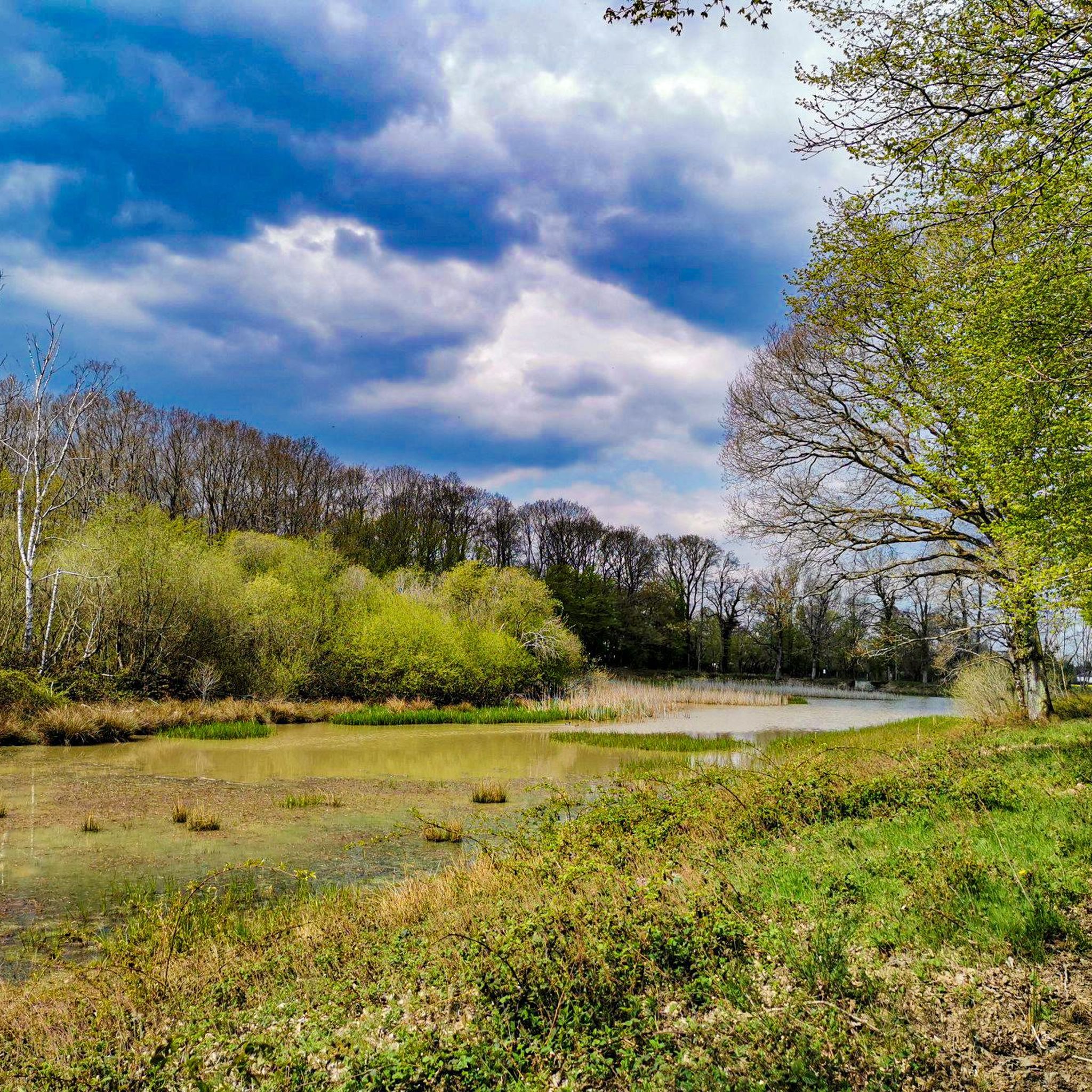
Hiking around Louzouer offers access to the diverse landscapes of the Gâtinais region, characterized by its extensive forests, agricultural lands, and sandstone formations. The area is situated within the Forêt Domaniale de Montargis, providing numerous trails through oak woodlands. Rivers crisscross the territory, contributing to varied terrain suitable for exploration.
Best hiking trails around Louzouer
- The most popular hiking route is From the tree to the water — loop from Paucourt, a 10.7 miles (17.3 km) moderate trail that…
Last updated: July 5, 2026
4.7
(7)
15
hikers
17.3km
04:27
80m
80m
Moderate hike. Good fitness required. Easily-accessible paths. Suitable for all skill levels.
5.0
(1)
4
hikers
5.89km
01:32
40m
40m
Easy hike. Great for any fitness level. Easily-accessible paths. Suitable for all skill levels.

Sign up for free
5.0
(1)
6
hikers
10.9km
02:49
60m
60m
Moderate hike. Good fitness required. Easily-accessible paths. Suitable for all skill levels.
5.0
(1)
2
hikers
4.47km
01:10
30m
30m
Easy hike. Great for any fitness level. Easily-accessible paths. Suitable for all skill levels.
3
hikers
8.41km
02:11
50m
50m
Moderate hike. Good fitness required. Easily-accessible paths. Suitable for all skill levels.
Get access to more routes and recommendations from other explorers.
Sign up for free
Already have an account?
Our route recommendations are based on thousands of hikes, rides, and runs completed by other people on komoot.
Start today with a free account
Your next adventure awaits.
Login or Signup




Tips from the Community

A striking contrast in the quality of the road or the developments of the Briard Canal are painful to see compared to those of the Orléans Canal.
0
0

several magnificent sculptures in the trees
0
0

pretty sculpture in pieces of trees
1
0

Works of art created at the initiative of the Maison de la forêt de Paucourt, notably highlighting bats and forest spirits.
1
0
Formerly two mills facing each other, the Vieux-Moulin on the left bank and the Moulin-Neuf on the right bank, the first probably dating from the 18th century. During the 20th century, the two-wheel buildings were replaced by the large central building which spans the Loing today.
0
0
Place where the three canals of Briare, Orléans and Loing meet, since 1724, the year the construction of the Loing ended. The house was that of the lock keeper and the lock controller, today the House of Nature and Water.
0
0

The Griselles Mill, a former iron and flour mill dating from the 16th century, ceased operation in 1940. Today, the mill remains a preserved historic site, offering a fascinating insight into the region's past industry. It is a great place to relax and enjoy the natural beauty.
0
0
Frequently Asked Questions
What kind of terrain can I expect when hiking around Louzouer?
Louzouer is nestled in the Gâtinais region, known as the 'land of a thousand clearings and sandstone.' You'll find a diverse landscape featuring extensive oak woodlands, particularly within the Forêt Domaniale de Montargis, interspersed with agricultural lands, sand, and sandstone formations. Rivers crisscross the territory, adding to the varied terrain.
Are there many hiking trails available in Louzouer?
Yes, there are over 120 hiking routes around Louzouer. This includes a good mix of options, with more than 50 easy trails, over 60 moderate routes, and a few more challenging paths for experienced hikers.
Are there any family-friendly hiking options in Louzouer?
Absolutely. Louzouer offers many easy trails suitable for families. For example, the Côte dite "La Mélissa" loop from Les Terres de Bois le Roi is an easy 5.8 km (3.6 miles) trail that takes about 1 hour 30 minutes, winding through woodlands and agricultural areas. Another easy option is the Hiking loop from Paucourt, which is around 4.6 km (2.8 miles).
What interesting landmarks or natural features can I discover on a hike in Louzouer?
Louzouer is home to the largest menhir in the Loiret department, known as 'La Chaise' or 'Pierre de Minuit,' a prehistoric standing stone approximately four meters high. This ancient monument provides an intriguing landmark to discover. Additionally, the region's diverse landscapes include the extensive Forêt Domaniale de Montargis and the picturesque Gâtinais region with its rivers and sandstone formations.
Are there any circular hiking routes in the area?
Yes, many of the trails around Louzouer are circular, offering convenient starting and ending points. Popular examples include the moderate From the tree to the water — loop from Paucourt, which is 17.3 km (10.7 miles), and the easy Côte dite "La Mélissa" loop from Paucourt, covering 4.5 km (2.8 miles).
What do other hikers say about the trails in Louzouer?
The hiking routes in Louzouer are highly regarded by the komoot community, with an average rating of 4.3 stars from over 90 reviews. Hikers often praise the dense woodlands, varied agricultural landscapes, and the presence of unique ancient landmarks like the 'La Chaise' menhir.
What are some nearby attractions or points of interest to explore after a hike?
After your hike, you can explore several interesting sites. Consider visiting the Junction of the Canal d'Orléans and the Canal de Briare, or the historic Former Ursuline Convent. The Bardin Mill and the scenic Canal de Briare also offer pleasant diversions.
Is Louzouer a good destination for beginner hikers?
Yes, Louzouer is very welcoming for beginner hikers. With over 50 easy routes, there are plenty of gentle paths to choose from. These trails typically have minimal elevation gain and cover shorter distances, making them ideal for those new to hiking or looking for a relaxed walk.
What is the best time of year to go hiking in Louzouer?
The Gâtinais region, with its extensive forests and varied landscapes, is enjoyable throughout much of the year. Spring and autumn offer pleasant temperatures and beautiful scenery, with vibrant foliage in fall. Summer is also suitable, especially for shaded forest trails. Winter hiking is possible, but be prepared for cooler temperatures and potentially muddy conditions.
Are there any longer, more challenging hikes available?
While most routes are easy to moderate, there is at least one difficult trail for those seeking a greater challenge. The moderate routes, such as the From the tree to the water — loop from Paucourt at 17.3 km (10.7 miles), also offer a good workout and a longer time on the trail.
What kind of natural environment dominates the hiking experience in Louzouer?
The hiking experience in Louzouer is largely defined by its location within the Forêt Domaniale de Montargis. You'll primarily encounter dense oak woodlands, characteristic of the ZNIEFF (Zone Naturelle d'Intérêt Écologique, Faunistique et Floristique) designation. These forests are interspersed with agricultural lands and the unique sandstone formations of the Gâtinais region, offering a rich and diverse natural backdrop.
Most popular attractions around Louzouer

Get inspired with the komoot mobile app


Explore more
Browse the best Hikes in other regions.
