The best MTB trails around Champigné
4.4
(99)
303
riders
34
rides
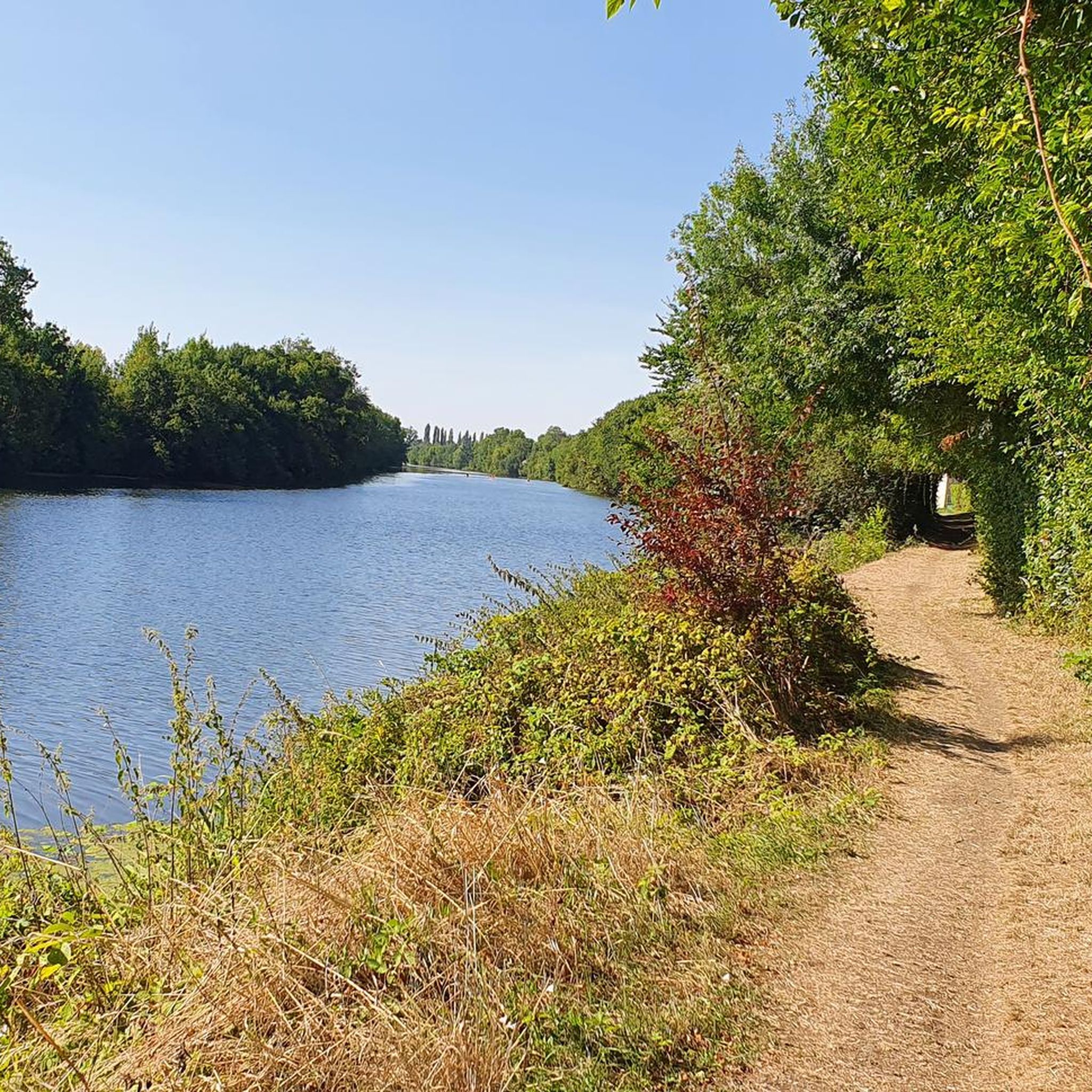
Mountain biking around Champigné offers access to a diverse natural environment within France's Pays de la Loire region. The area features a mosaic of valleys, rivers, and extensive forest and wooded areas. Limestone hillsides, some covered with vineyards, provide varied terrain, while agricultural lands and meadows offer gentler routes. This landscape, part of the Loire-Anjou-Touraine Regional Nature Park, is well-suited for mountain biking.
Best mountain bike trails around Champigné
- The most popular mountain bike trail is The Mayenne at Daon…
Last updated: October 7, 2026
3.0
(1)
19
riders
92.6km
05:50
460m
460m
Hard mountain bike ride. Very good fitness required. Suitable for all skill levels.
7
riders
33.5km
02:22
180m
180m
Moderate mountain bike ride. Good fitness required. Suitable for all skill levels.

5.0
(2)
6
riders
46.7km
02:55
280m
280m
Moderate mountain bike ride. Good fitness required. Suitable for all skill levels.
5.0
(1)
1
riders
Moderate mountain bike ride. Great for any fitness level. Advanced riding skills necessary.
5.0
(1)
5
riders
15.3km
00:59
40m
40m
Easy mountain bike ride. Great for any fitness level. Suitable for all skill levels.
Get access to more routes and recommendations from other explorers.
Already have an account?
Our route recommendations are based on thousands of hikes, rides, and runs completed by other people on komoot.
Start today with a free account
Your next adventure awaits.




Tips from the Community

I was lucky enough to witness a race just as I was passing by.
0
0
Beautiful view of the Mayenne from the bridge.
0
0
Starting point of the "cave to Isle Briand" hike
0
0
Superb view of the back of the castle. Feel free to walk around the island.
0
0
Magnificent view of the Mayenne and the village of Daon.
0
0
Very rolling and shaded path
0
0
L'Hippodrome de L'Isle-Briand located in Lion d'Angers is dedicated solely to flat racing. Its turf track is 1625 meters long.
0
0
The bridge offers beautiful views of the Mayenne and the village of Grez-Neuville
0
0
Frequently Asked Questions
What kind of terrain can I expect on mountain bike trails around Champigné?
The terrain around Champigné is quite varied, characteristic of the Anjou region. You'll find a mix of river valleys, extensive forests, and wooded areas. Some routes feature limestone hillsides, while others traverse agricultural lands and meadows, offering gentler paths. The landscape is part of the Loire-Anjou-Touraine Regional Nature Park, providing a diverse environment for mountain biking.
Are there mountain bike trails suitable for beginners or families in Champigné?
Yes, Champigné offers trails suitable for various skill levels, including easier options. Out of the 38 available routes, 15 are classified as easy, making them great for beginners or family outings. These routes often follow gentler paths through agricultural lands and along riverbanks.
What are some of the longer mountain bike routes available near Champigné?
For those looking for longer rides, the area offers several options. One notable route is the Bec du Loir – Port of Villevêque loop from Écuillé, which covers approximately 31.1 miles (50.0 km). Another substantial ride is The Mayenne at Daon – The Mayenne at Daon loop from Champteussé-sur-Baconne, stretching about 23.6 miles (38.0 km).
What are the best times of year to go mountain biking in Champigné?
The Anjou region, including Champigné, is generally pleasant for cycling from spring through autumn. Spring offers lush green landscapes and mild temperatures, while autumn provides beautiful foliage. Summers are also suitable, though it's always wise to check local weather forecasts, especially for warmer days, and ensure you stay hydrated.
Are there any interesting landmarks or natural features to see along the mountain bike trails?
Yes, the routes often pass by scenic points and historical sites. You might encounter views of the Mayenne River, which is a significant natural feature in the area. Specific highlights include the Isle Briand Castle, a beautiful view of the port of Grez-Neuville, and the Chambellay Bridge over the Mayenne River. The La Roussière Lock is another point of interest you might pass.
What do other mountain bikers say about the trails in Champigné?
The mountain bike trails around Champigné are highly regarded by the komoot community, holding an average rating of 4.5 stars from over 100 reviews. Riders often praise the diverse natural environment, the mix of river valleys and wooded areas, and the variety of routes suitable for different ability levels.
Are there any circular mountain bike routes in the area?
Many of the mountain bike routes around Champigné are designed as loops, allowing you to start and finish at the same point. For example, the La Roussière Lock – Hippodrome du Lion-d'Angers loop from Thorigné-d'Anjou is an easy circular route, and the The Fishing Cat – Freewheel in the grass loop from Soulaire-et-Bourg offers a moderate circular experience.
What is the elevation profile like on mountain bike trails near Champigné?
The area around Champigné features gentle rolling hills rather than steep mountains. While some routes include limestone hillsides, the elevation gains are generally moderate. For instance, the Grassy Path – Along the River Sarthe loop from Cheffes has an elevation gain of about 62 meters over its 20.9 km distance, indicating a relatively flat profile suitable for relaxed rides.
Are there options for food, drink, or accommodation near the mountain bike trails?
Champigné and the surrounding villages in the Anjou region offer various services. While specific cafes or pubs directly on trails are not detailed, you can find local establishments for food and drink, as well as accommodation options like gîtes or B&Bs, in the nearby settlements. Exploring towns like Grez-Neuville can provide such amenities.
How many mountain bike trails are there in total around Champigné?
There are 38 mountain bike trails available around Champigné, offering a wide range of options for different skill levels and preferences. This includes 15 easy routes, 22 moderate routes, and 1 difficult route.
Can I access mountain bike trails near Champigné using public transport?
While the Anjou region has a good cycling infrastructure, direct public transport access to specific trailheads for mountain biking might be limited. It's generally recommended to check local bus services or regional train lines for connections to Champigné or nearby towns. However, many visitors prefer to arrive by car to have more flexibility in reaching various starting points.
What are the characteristics of the most challenging mountain bike trail in Champigné?
While the majority of trails are easy to moderate, there is one route classified as difficult. These more challenging trails typically feature steeper climbs, more technical descents, and potentially rougher surfaces, providing a greater test for experienced riders. For specific details on the difficult route, it's best to consult its individual komoot page for elevation profiles and terrain descriptions.
Most popular routes around Champigné
Most popular attractions around Champigné

Get inspired with the komoot mobile app


Explore more
Browse the best MTB trails in other regions.
