The best walks and hikes around Bavois
4.4
(576)
3,886
hikers
197
hikes
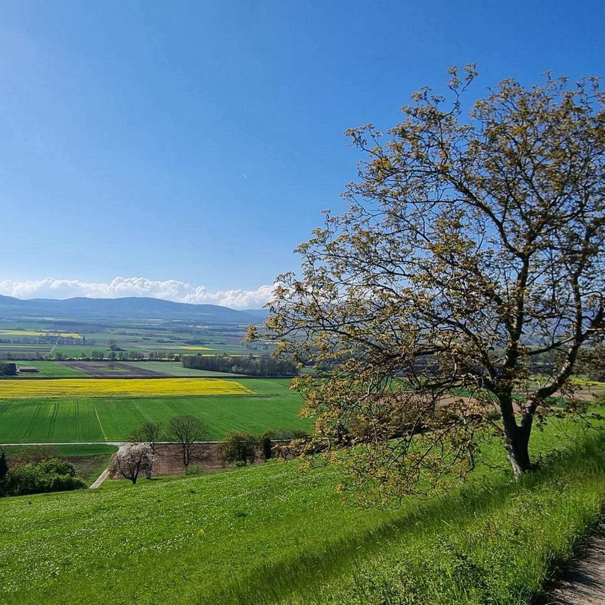
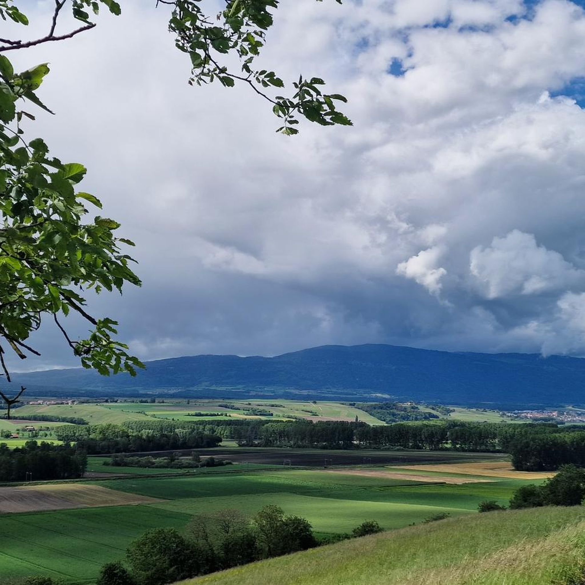
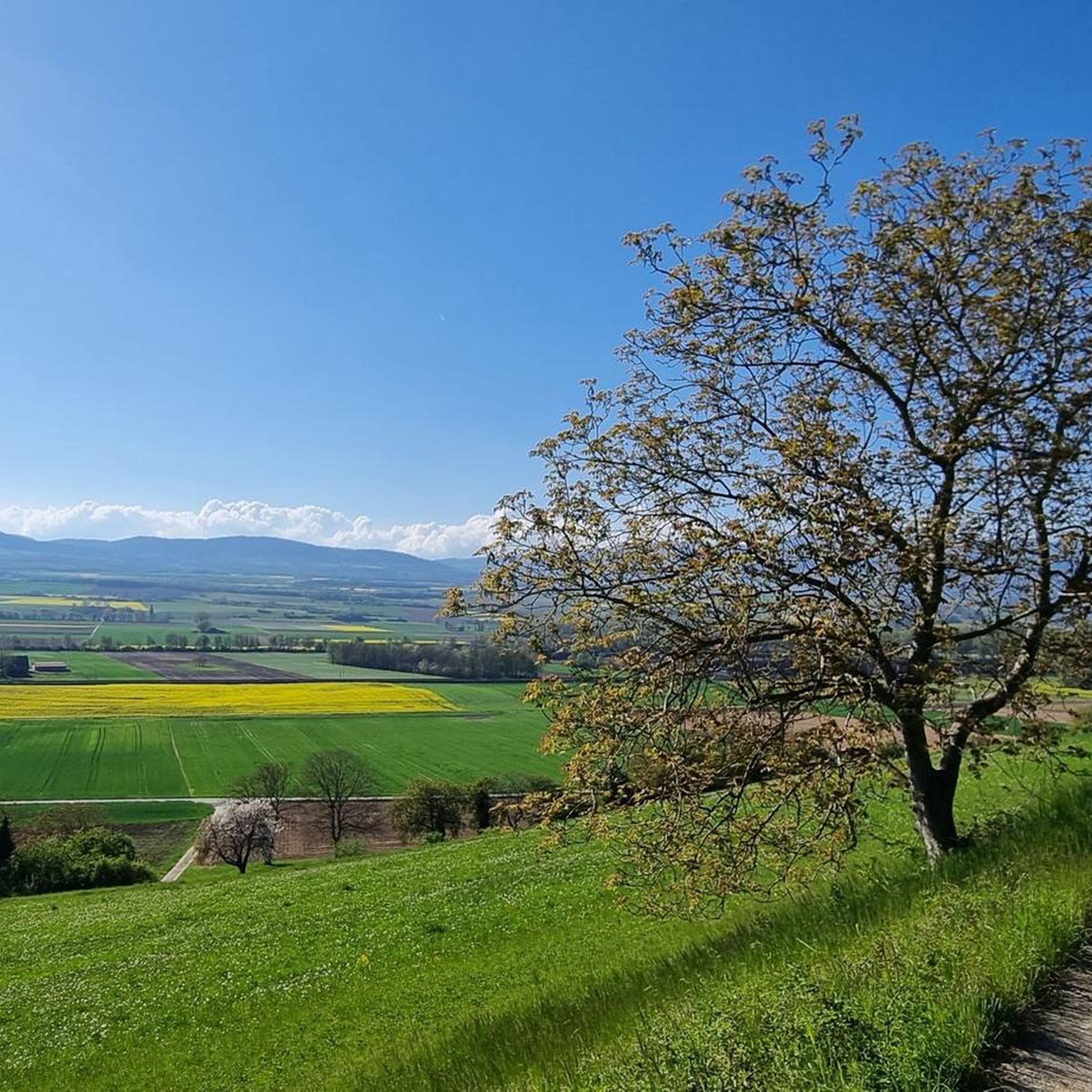
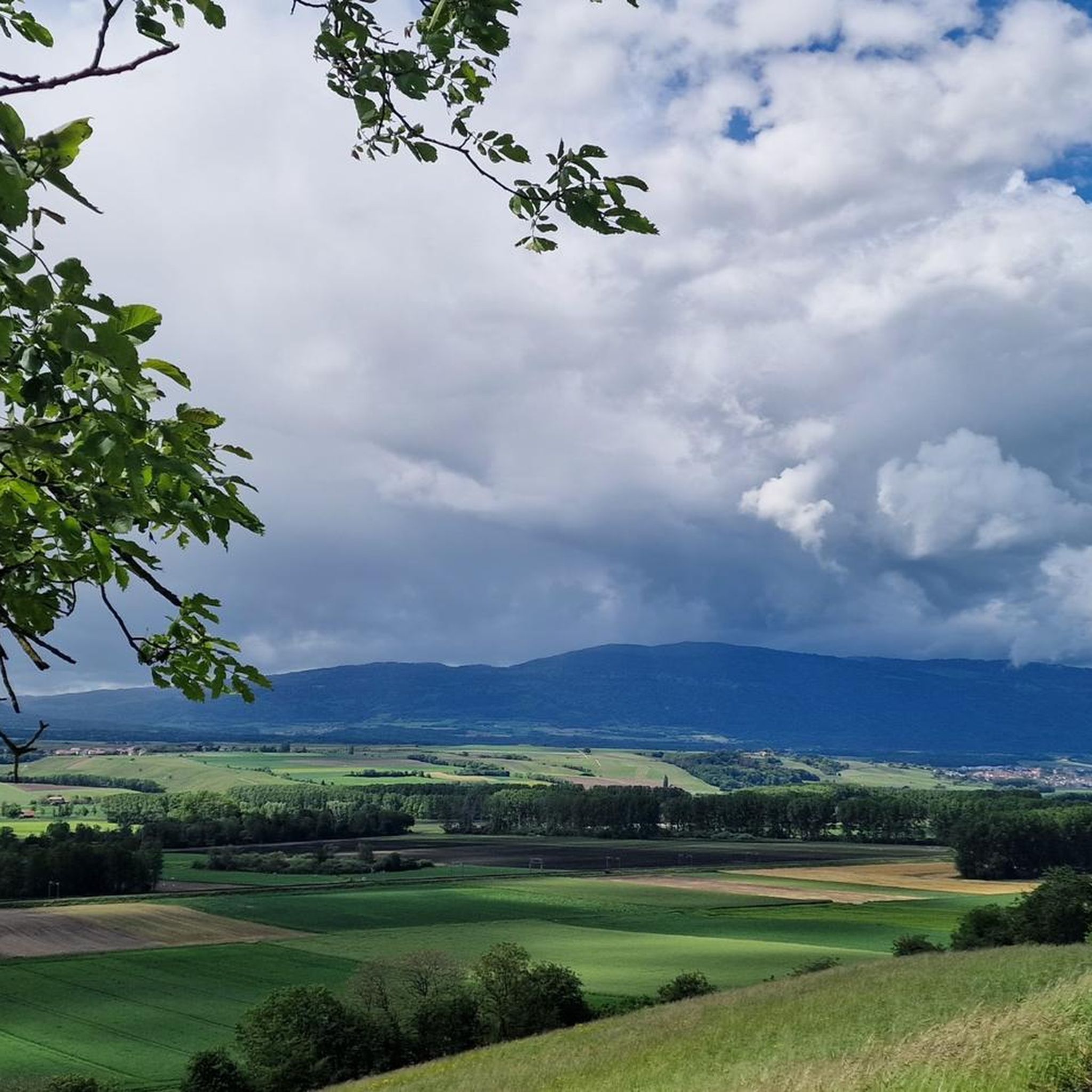
Hiking around Bavois offers a diverse landscape characterized by gentle hills, agricultural fields, and serene water features. The region features a network of trails that often follow canals and pass through small villages. Elevations are generally modest, making many routes accessible for various fitness levels.
Best hiking trails around Bavois
- The most popular hiking route is Canal d’Entreroches – Daffodils on Le Mormont loop from Eclépens, a 4.4 miles (7.1 km) trail that takes 2 hours 0 minutes to…
Last updated: October 10, 2026
6
hikers
10.9km
03:14
310m
310m
Moderate hike. Good fitness required. Easily-accessible paths. Suitable for all skill levels.
3.0
(1)
10
hikers
6.25km
01:39
60m
60m
Easy hike. Great for any fitness level. Easily-accessible paths. Suitable for all skill levels.

5
hikers
7.35km
01:56
60m
60m
Easy hike. Great for any fitness level. Easily-accessible paths. Suitable for all skill levels.
5.0
(2)
9
hikers
8.64km
02:15
60m
60m
Moderate hike. Good fitness required. Easily-accessible paths. Suitable for all skill levels.
2
hikers
10.2km
02:41
90m
90m
Moderate hike. Good fitness required. Easily-accessible paths. Suitable for all skill levels.
Get access to more routes and recommendations from other explorers.
Already have an account?
Our route recommendations are based on thousands of hikes, rides, and runs completed by other people on komoot.
Start today with a free account
Your next adventure awaits.

Tips from the Community

Orbe offers its visitors 2 sightseeing tours of different lengths. Along these routes, you get a comprehensive insight into the historic town. Yellow circular route (approx. 45 minutes): The ideal walk for the heart of the city center. It starts at the historic market square (Place du Marché) and leads to the castle esplanade with a panoramic view, the old rampart walk, and the historic abbey. Red circular route (approx. 1.5 hours): This longer city route through Orbe combines urban charm with nature on the riverbank, where with a bit of luck, kingfishers can be observed.
0
0
Orbe bietet seinen Besuchern 2 unterschiedlich lange Besichtigungrunden an. Gelber Rundweg (ca. 45 Minuten): Der ideale Spaziergang für das Herz des Stadtzentrums. Er startet am historischen Marktplatz (Place du Marché) und führt zur Esplanade des Schlosses mit Panoramablick, dem alten Wehrgang und der historischen Abtei. Roter Rundweg (ca. 1,5 Stunden): Diese längere Stadtroute durch Orbe verbindet den städtischen Charme mit der Natur am Flussufer, wo mit etwas Glück Eisvögel zu beobachten sind.
0
0


The Étang du Buron is a small, picturesque pond in the Vaud Jura, above Yverdon-les-Bains. Originally created artificially, it served to store water for agriculture. Today, it is a tranquil natural setting with high ecological value. The pond is surrounded by wet meadows, open forests, and species-rich riparian zones. Amphibians, dragonflies, and numerous birds use the area as a habitat. The Étang du Buron is easily accessible for walkers and cyclists and is a popular local recreation destination. Information boards and well-maintained paths invite you to explore nature in a relaxed atmosphere.
0
0


Entreroche is a historic place
0
0

The idea was to create a connection between Yverdon and the Mediterranean, with the goal of selling wine. Unfortunately, the project ran out of money...
1
0

The river Orbe has dug a real gorge. An arch bridge connects the two sides of Orbes almost on a flat route. Good view over the plain. The train passes under the bridge halfway.
6
0
Frequently Asked Questions
How many hiking trails are available around Bavois?
The Bavois region offers a wide selection of routes, with over 200 hiking trails available. This includes a mix of easy, moderate, and some more challenging options to suit various preferences.
What kind of landscape can I expect when hiking near Bavois?
Hiking around Bavois features a diverse landscape of gentle hills, agricultural fields, and serene water features. Many trails follow historic canals and pass through charming small villages, offering peaceful, scenic views.
Are there easy hiking trails suitable for beginners or families in Bavois?
Yes, Bavois is well-suited for beginners and families, with over 100 easy hiking trails. These routes typically have modest elevations and are often found along canal paths or through open countryside, such as the Étang du Buron loop from Penthéréaz.
Are there circular hiking routes in Bavois?
Many of the trails in Bavois are designed as circular routes, allowing you to start and end in the same location. Examples include the popular Canal d’Entreroches – Daffodils on Le Mormont loop from Eclépens and The Paths loop from Goumoëns.
Can I hike with my dog in Bavois?
Generally, dogs are welcome on hiking trails in the Bavois region. It's always recommended to keep your dog on a leash, especially when passing through agricultural areas or near livestock, and to respect local signage.
Are there any waterfalls to see on hikes near Bavois?
Yes, you can discover natural attractions like the Dard Waterfall, which is a notable highlight in the vicinity of Bavois. Some routes may pass close to or offer detours to such features.
What interesting places or landmarks can I explore while hiking in Bavois?
Beyond the natural beauty, you can explore historical and cultural landmarks. Highlights include the impressive La Sarraz Castle, the historic Romainmôtier Abbey, the charming town of Orbe, and the fascinating Canal d’Entreroches.
What do other hikers say about the trails in Bavois?
The hiking trails in Bavois are highly regarded by the komoot community, with an average rating of 4.4 stars from over 450 reviews. Hikers often praise the peaceful atmosphere, well-maintained paths, and the scenic variety of the routes.
Where can I find parking for hiking trails in Bavois?
Many villages and popular trailheads around Bavois offer designated parking areas. It's advisable to check specific route descriptions on komoot for details on parking availability at the starting points of individual trails.
Is public transport available to reach the trailheads in Bavois?
Yes, Switzerland has an excellent public transport network. Many trailheads in the Bavois region are accessible by train or bus, making it convenient to start and end your hikes without a car. Check local transport schedules for specific connections.
Are there places to eat or cafes along the hiking routes in Bavois?
As many routes pass through or near small villages, you will often find opportunities for refreshments. Look out for local cafes, bakeries, or small restaurants in villages like Penthéréaz or Goumoëns, which can be great spots for a break.
What is the best time of year for hiking in Bavois?
The spring, summer, and autumn months generally offer the best conditions for hiking in Bavois. Spring brings blooming daffodils and fresh greenery, summer provides warm weather for exploring, and autumn showcases beautiful foliage. Winter hiking is possible on lower-lying, cleared paths, but some trails may be muddy or icy.
Most popular attractions around Bavois

Get inspired with the komoot mobile app


Explore more
Browse the best Hikes in other regions.
