The best walks and hikes around Lasse
4.4
(1191)
7,902
hikers
14
hikes
Hiking around Lasse offers a diverse landscape characterized by summits, passes, and countryside paths. The region features varied terrain with significant elevation changes, providing a range of experiences for hikers. Trails often lead through natural settings, connecting different points of interest.
Best hiking trails around Lasse
- The most popular hiking route is GR 10 and Napoleon Route Loop, a 19.6 miles (31.5 km) trail that takes 9 hours 59 minutes to complete. This difficult route combines two notable historical…
Last updated: October 10, 2026
4
hikers
31.5km
10:00
1,190m
1,190m
Hard hike. Very good fitness required. Mostly accessible paths. Sure-footedness required.
4.9
(13)
78
hikers
15.3km
05:15
800m
800m
Hard hike. Very good fitness required. Mostly accessible paths. Sure-footedness required.

4.9
(7)
43
hikers
18.6km
06:52
1,120m
1,120m
Hard hike. Very good fitness required. Mostly accessible paths. Sure-footedness required.
5.0
(4)
52
hikers
11.5km
04:04
640m
640m
Moderate hike. Good fitness required. Mostly accessible paths. Sure-footedness required.
4.4
(5)
42
hikers
7.15km
02:47
530m
530m
Moderate hike. Good fitness required. Mostly accessible paths. Sure-footedness required.
Get access to more routes and recommendations from other explorers.
Already have an account?
Our route recommendations are based on thousands of hikes, rides, and runs completed by other people on komoot.
Start today with a free account
Your next adventure awaits.

Tips from the Community

The Pyrenees, when the weather is nice you have a great view.
0
0

Fantastic in good weather, but torture in rain, cold and wind. And a very long way to Roncesvalles!
7
1

Munhoa is a peak in the French Basque Country which rises to 1,023 meters above sea level. Its toponymy finds its origin in the Basque word “muino” which means hill. From this mountain you can admire the valleys of Luzaide and Baïgorry separated by the Adartza massif.
1
0

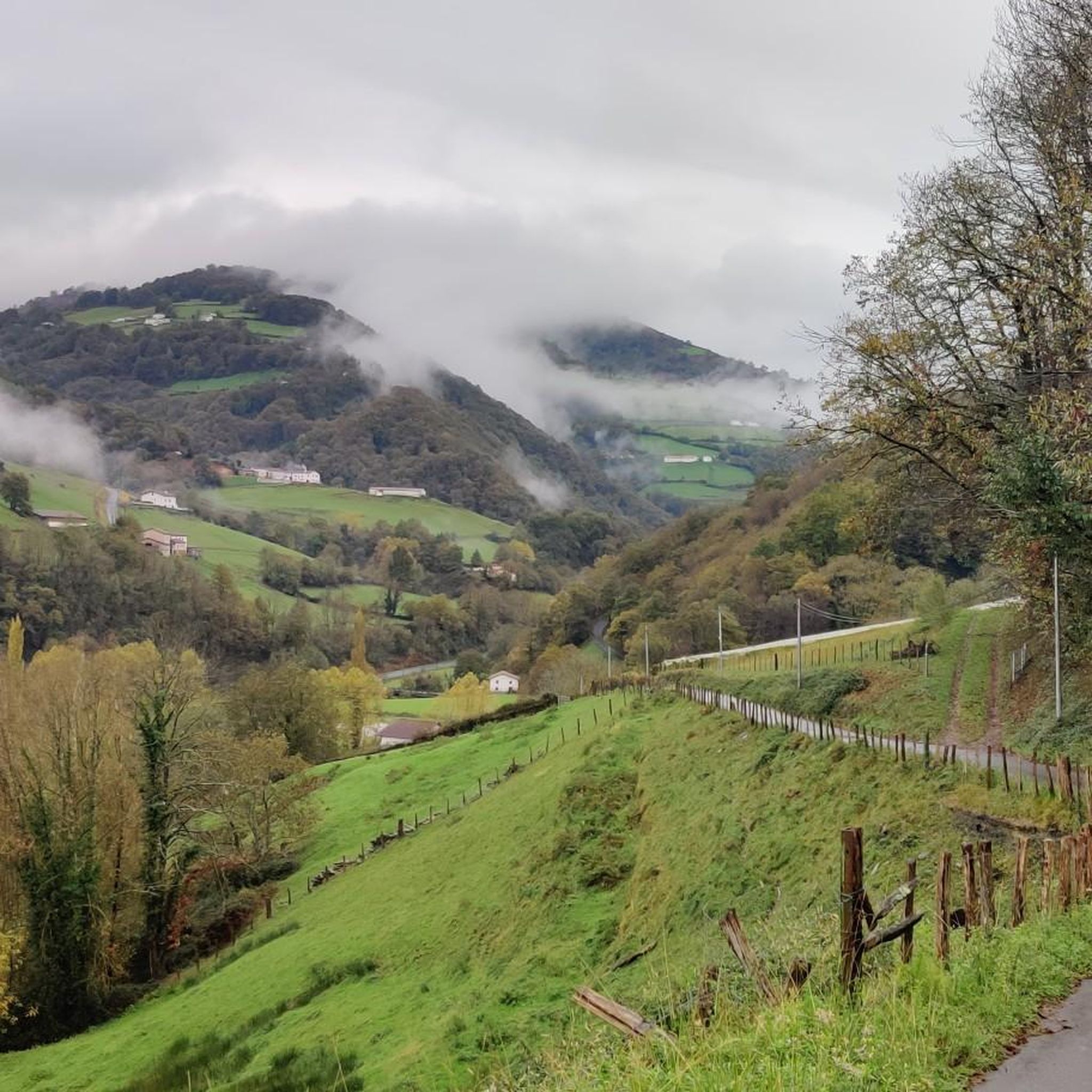
Very steep road climb from St Jean Pied de Port, but great misty views back over the valley when the light breaks
4
1
The Munhoa is a peak in the French Basque Country which culminates at 1,023 meters above sea level. Its toponymy finds its origin in the Basque word muino which means hill. From this mountain you can admire the valleys of Luzaide and Baïgorry separated by the Adartza massif.
2
1

The Aharza or Ahartza pass is on the GR 10 trail. This pretty belvedere is the access point to several peaks such as the Oilarandoi. It also has a nearby car park.
3
1

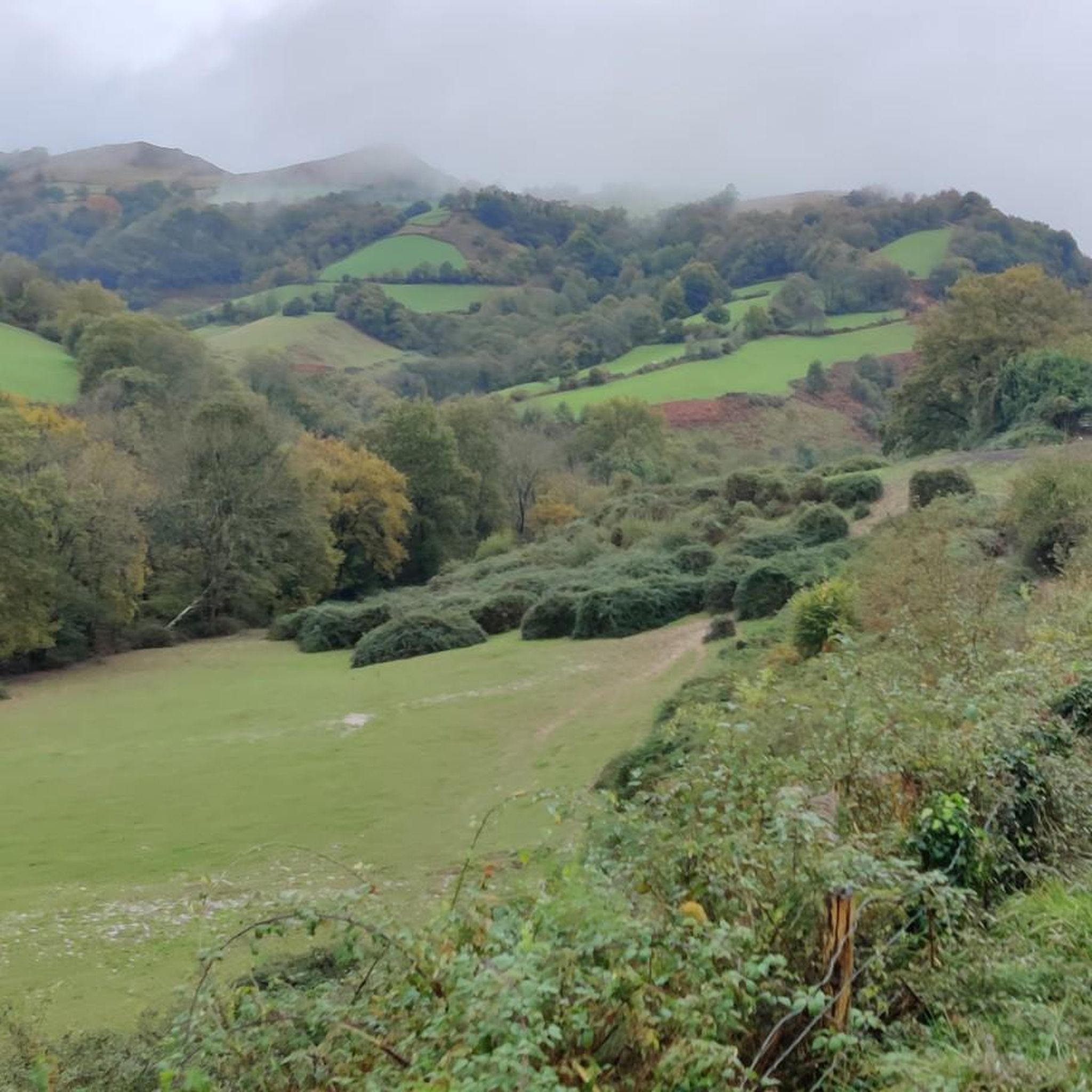
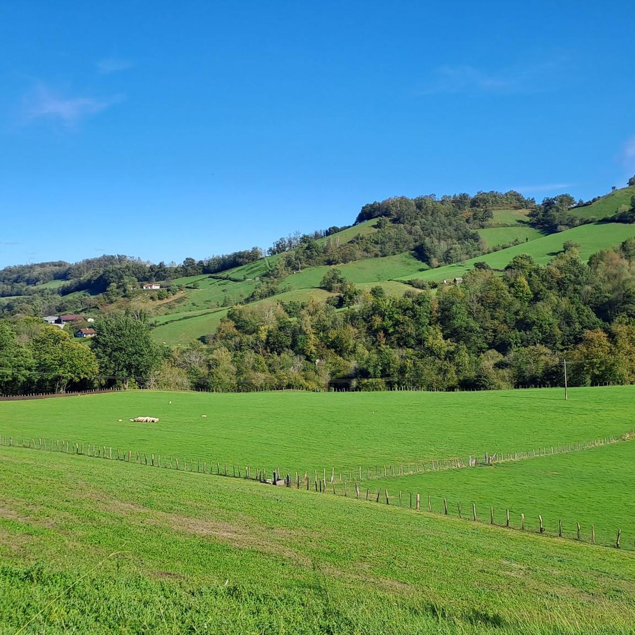
Just beautiful area when the sun is shining.
6
1

Breathtaking view of the Basque Country and the Pyrenees! Enjoy your sandwich by taking a break here!
6
1
Frequently Asked Questions
How many hiking trails are available in Lasse?
Lasse offers a wide variety of hiking experiences, with nearly 200 trails to explore. These routes range from easy strolls to challenging ascents, catering to different skill levels and preferences.
Are there easy hiking trails suitable for beginners in Lasse?
Yes, Lasse has over 50 easy hiking trails perfect for beginners or those looking for a relaxed walk. These routes often feature gentle terrain and scenic views. While specific easy routes are not detailed here, you can find many options on komoot.
What are some family-friendly hiking options in Lasse?
For families, trails with moderate distances and less elevation gain are ideal. While the provided data doesn't specify 'family-friendly' directly, routes like the Rest area with benches – Camino Pfeil loop from Saint-Jean-Pied-de-Port, which is moderate and includes rest areas, could be suitable. Look for trails with gentle slopes and interesting natural features like lakes or viewpoints to keep everyone engaged.
Can I bring my dog on hikes in Lasse?
The allowance for dogs on trails in Lasse can vary. Generally, national parks and protected areas often have specific rules regarding pets, usually requiring them to be on a leash and restricting them from certain sensitive areas. It's always best to check local regulations or specific trail guidelines before heading out with your dog.
What kind of natural features can I expect to see while hiking in Lasse?
Lasse's landscape is shaped by its volcanic origins, offering a dramatic environment. Hikers can expect to encounter diverse features such as volcanic peaks, hydrothermal areas with bubbling mud pots and steam vents, picturesque lakes, and beautiful waterfalls. The region also features lush forests and alpine meadows, providing varied scenery.
Are there any circular hiking routes in Lasse?
Yes, Lasse offers several circular hiking routes that allow you to start and end at the same point. A notable example is the GR 10 and Napoleon Route Loop, a challenging 19.6-mile trail. Another option is the Main trail – Munhoa Summit loop from Lasse, which is a 9.5-mile difficult route.
What are the best viewpoints or scenic spots in Lasse?
Lasse offers numerous stunning viewpoints, often from its prominent peaks and mountain passes. You can find panoramic vistas from summits like Munhoa Summit or Hautza Summit. Mountain passes such as Ibañeta Pass also provide expansive views of the surrounding countryside.
What is the best season for hiking in Lasse?
The best season for hiking in Lasse typically depends on the specific trails and your preferences. Summer and early autumn generally offer the most favorable conditions with warmer weather and clear trails. However, some lower elevation trails might be accessible in late spring or even early winter, though conditions can be unpredictable, especially at higher altitudes.
Are there any trails with waterfalls in Lasse?
Yes, the region around Lasse is known for its natural beauty, including waterfalls. While specific routes are not detailed in the guide data, the broader region features picturesque waterfalls like Kings Creek Falls and Mill Creek Falls, which are popular attractions for hikers.
What do other hikers enjoy most about hiking in Lasse?
The area is highly rated by the komoot community, with an average score of 4.38 stars from over 980 reviews. Hikers often praise the diverse landscape, which includes challenging summit ascents, scenic mountain passes, and varied countryside paths. The unique volcanic features and natural attractions are frequently highlighted as memorable aspects of the hiking experience.
Do I need a permit to hike specific trails in Lasse?
For general hiking in Lasse, permits are typically not required for most trails. However, if you plan to access certain protected areas, specific peaks, or engage in overnight backpacking, it's advisable to check with local park authorities or visitor centers for any permit requirements or regulations that might apply.
What are the typical durations for hikes in Lasse?
Hikes in Lasse vary significantly in duration. Easy trails might take a couple of hours, while moderate routes can range from 3 to 6 hours. More challenging and longer routes, such as the GR 10 and Napoleon Route Loop, can take around 10 hours to complete, depending on your pace and breaks.
Are there any historical or cultural landmarks along the hiking trails in Lasse?
Yes, the region around Lasse has historical significance. For instance, the GR 10 and Napoleon Route Loop combines two notable historical paths. You might also encounter landmarks like the Roland Fountain or the Ibañeta Pass and the Roland Monument, which are part of the area's rich heritage.
Most popular attractions around Lasse

Get inspired with the komoot mobile app


Explore more
Browse the best Hikes in other regions.
