The best road cycling routes around Bausendorf
4.4
(394)
6,997
riders
189
rides
Road cycling around Bausendorf offers diverse terrain at the edge of the Eifel region and near the Moselle valley. The landscape features rolling hills, extensive vineyards, and the Kondelwald forest, providing varied backdrops for rides. Cyclists can navigate routes along the Moselle riverbank and through valleys, with elevation gains reflecting the region's topography. This area is characterized by its natural features, including rivers and forests, which shape the cycling experience.
Best road cycling routes around Bausendorf
- The most popular road…
Last updated: July 7, 2026
4.8
(51)
682
riders
94.5km
04:18
1,020m
1,020m
Hard road ride. Very good fitness required. Some segments of this route may be unpaved and difficult to ride.
4.7
(62)
985
riders
Moderate road ride. Good fitness required. Some segments of this route may be unpaved and difficult to ride.

Sign up for free
4.3
(3)
40
riders
70.1km
03:25
640m
640m
Moderate road ride. Good fitness required. Mostly well-paved surfaces and easy to ride.
5.0
(2)
41
riders
59.8km
02:53
780m
780m
Moderate road ride. Good fitness required. Mostly well-paved surfaces and easy to ride.
2.0
(3)
33
riders
43.6km
01:50
270m
270m
Moderate road ride. Great for any fitness level. Some segments of this route may be unpaved and difficult to ride.
Get access to more routes and recommendations from other explorers.
Sign up for free
Already have an account?
Our route recommendations are based on thousands of hikes, rides, and runs completed by other people on komoot.
Start today with a free account
Your next adventure awaits.
Login or Signup
Other adventures around Bausendorf

Tips from the Community


🏘️ Platten is an idyllic wine village that is often mentioned in connection with the Moselle, but strictly speaking lies in the picturesque side valley of the Lieser – only about 4 km from the mouth of the Moselle.
0
0
🚢 On the Moselle River, places for shipping are not marked by classic yellow town signs (like on roads), but by specific nautical signs and landmarks. The boat landing (Lieser Moselstraße) Lieser has an official boat landing on the banks of the Moselle (near Moselstraße 28). This is marked for captains and passengers by the typical white piers used by excursion boats (e.g., the passenger shipping company Gebr. Kolb). Often, signs with the town name can also be found directly on the riverbank railing or at the waiting shelters.
2
0

What a great tunnel, over 500m Video on Instagram "biketime1979"
0
0

A beautiful former railway bridge. It's beautiful to look at from both above and below.
1
0

In summer, only e-bike egos are on the road – nasty situation! 😅
0
0
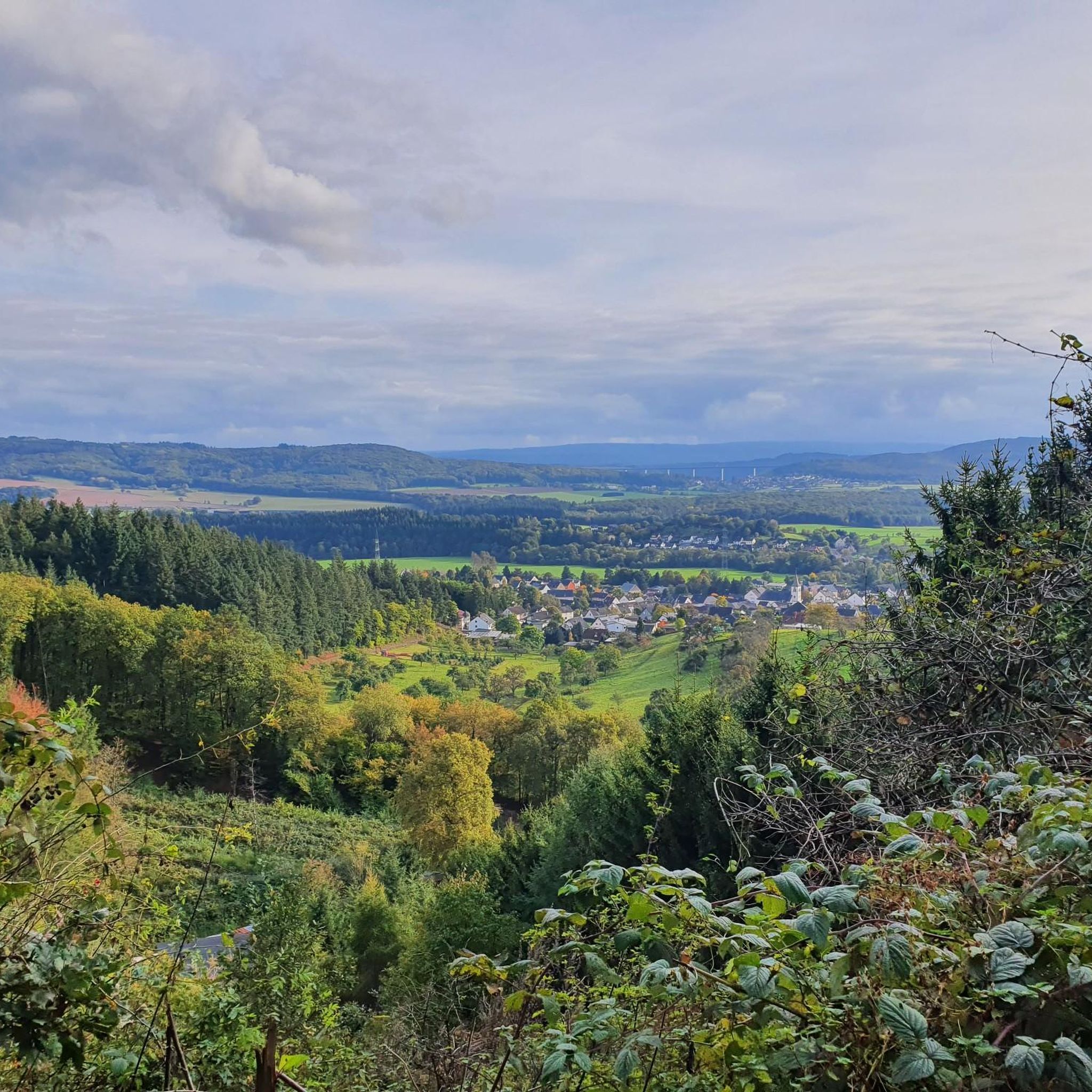
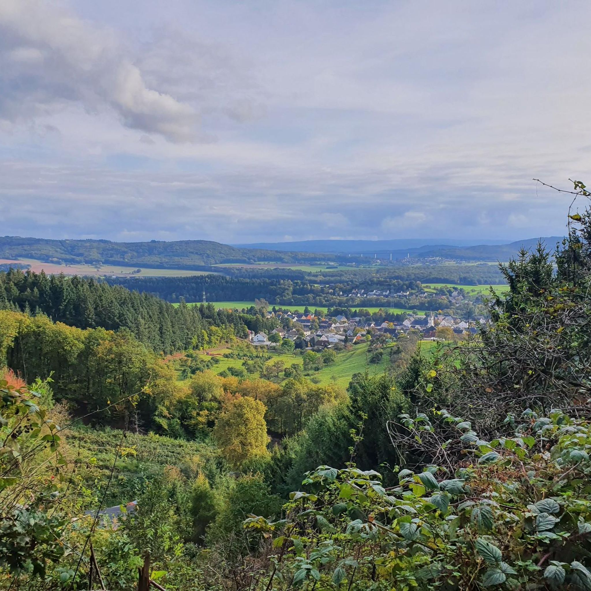
Great view, worth a moment to stop...
0
0
Very nice spot, with great views...
0
0
Frequently Asked Questions
How many road cycling routes are available around Bausendorf?
There are nearly 200 road cycling routes around Bausendorf, offering a wide range of options for different skill levels and preferences. The komoot community has tracked 189 routes in the area.
What is the best time of year for road cycling in Bausendorf?
The months of May to September are particularly recommended for road cycling around Bausendorf. During this period, the weather conditions are generally favorable, allowing you to fully enjoy the scenic landscapes of the Eifel and Moselle valley.
What kind of terrain can I expect on road cycling routes near Bausendorf?
Road cycling around Bausendorf features diverse terrain. You'll encounter the rolling hills of the Eifel, scenic stretches along the Moselle riverbank, and routes winding through extensive vineyards. The area also borders the dense Kondelwald forest, offering varied backdrops. Routes can range from gentle inclines to more challenging ascents, reflecting the region's topography.
Are there any easy road cycling routes suitable for beginners in Bausendorf?
Yes, Bausendorf offers several easy road cycling routes. Out of nearly 200 routes, 22 are classified as easy, making them suitable for beginners or those looking for a more relaxed ride. These often follow the course of streams or the Moselle river, providing gentle inclines and beautiful scenery.
What natural features or landmarks can I see while road cycling in the Bausendorf area?
The region is rich in natural beauty and impressive structures. You can cycle along the scenic Moselle riverbank, through the picturesque Kröv Vineyards, and past the broad Kondelwald forest. Notable architectural marvels include the Grünewald Viaduct and the impressive Pünderich Hang Viaduct, which is Germany's longest of its kind.
Are there any circular road cycling routes around Bausendorf?
Yes, many road cycling routes around Bausendorf are designed as loops, allowing you to start and end at the same point. An example is the Grünewald Tunnel – Großes Schlitzohr Tunnel loop from Ürzig (DB), which is a difficult 94.5 km route connecting the Eifel and Moselle regions.
What do other road cyclists enjoy most about the routes in Bausendorf?
The road cycling routes in Bausendorf are highly rated by the komoot community, with an average score of 4.4 stars from over 370 reviews. Cyclists often praise the diverse landscapes, including the rolling hills, vineyards, and river views, as well as the variety of routes catering to different ability levels.
Are there any routes that incorporate the Maare-Mosel Cycle Path?
Yes, some road cycling routes in the Bausendorf area integrate sections of the popular Maare-Mosel Cycle Path. This path is known for its idyllic landscapes and allows riders to traverse beautiful scenery. For instance, consider the Traben-Trarbach Bridge Gate – Mosel-Maare Cycle Path loop from Ürzig (DB) for a moderate 59.7 km ride.
Can I find routes that pass by historic sites or castles?
Absolutely. The region around Bausendorf offers cultural detours to historic sites. For example, the Lieser Castle – Walnut Avenue, Brauneberg loop from Ürzig (DB) is a moderate 70.2 km trail that leads through historic areas and vineyards. Other nearby attractions include Machern Monastery with its baroque church and the famous Cochem Castle.
Are there challenging road cycling routes for experienced riders?
Yes, Bausendorf offers challenging routes for experienced road cyclists. With 65 routes classified as difficult, you can find rides with significant elevation gains and longer distances. The Grünewald Tunnel – Großes Schlitzohr Tunnel loop from Ürzig (DB) is a difficult 94.5 km route with over 1000 meters of elevation gain, providing a demanding experience.
Are there road cycling routes that offer scenic viewpoints?
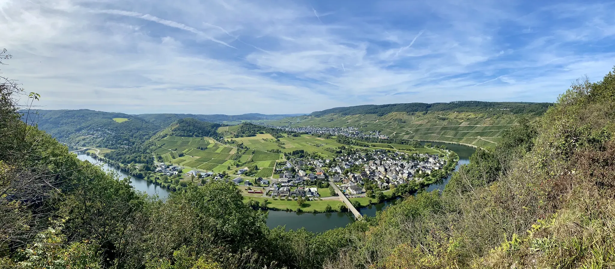
Many routes in the Bausendorf area provide stunning viewpoints, especially those traversing the Moselle valley and the Eifel hills. You can find highlights such as the View of the Moselle bend at Kröv from the Rabenwerk shelter, offering panoramic vistas of the river and vineyards. Routes often follow elevated sections or ridges, providing expansive views of the surrounding landscape.
Most popular routes around Bausendorf
Most popular attractions around Bausendorf

Get inspired with the komoot mobile app


Explore more
Browse the best Road cycling routes in other regions.
