The best running trails around Saint-Cyr-Des-Gâts
4.2
(35)
2,714
runners
168
runs
Jogging routes around Saint-Cyr-Des-Gâts traverse a rural landscape in the Vendée department of western France. The area is characterized by bocage, a mosaic of small fields and woodlands separated by hedges, offering varied scenery. The Smagne River forms the southern boundary of the commune, providing potential riverside running paths. With elevations ranging from 49m to 132m, the terrain includes gentle slopes and wooded hills, adding challenge to running routes.
Best jogging routes around Saint-Cyr-Des-Gâts
- The most popular jogging route is…
Last updated: July 1, 2026
4.0
(2)
155
runners
23.2km
02:47
390m
390m
Hard run. Very good fitness required. Sure-footedness, sturdy shoes and alpine experience required.
3.0
(1)
23
runners
8.24km
01:04
220m
220m
Hard run. Good fitness required. Sure-footedness, sturdy shoes and alpine experience required.

Sign up for free
16
runners
12.9km
01:40
230m
220m
Hard run. Good fitness required. Sure-footedness, sturdy shoes and alpine experience required.
12
runners
15.5km
01:52
190m
200m
Hard run. Very good fitness required. Sure-footedness, sturdy shoes and alpine experience required.
4.0
(1)
9
runners
16.1km
01:51
140m
140m
Hard run. Very good fitness required. Mostly paved surfaces. Suitable for all skill levels.
Get access to more routes and recommendations from other explorers.
Sign up for free
Already have an account?
Our route recommendations are based on thousands of hikes, rides, and runs completed by other people on komoot.
Start today with a free account
Your next adventure awaits.
Login or Signup



Tips from the Community


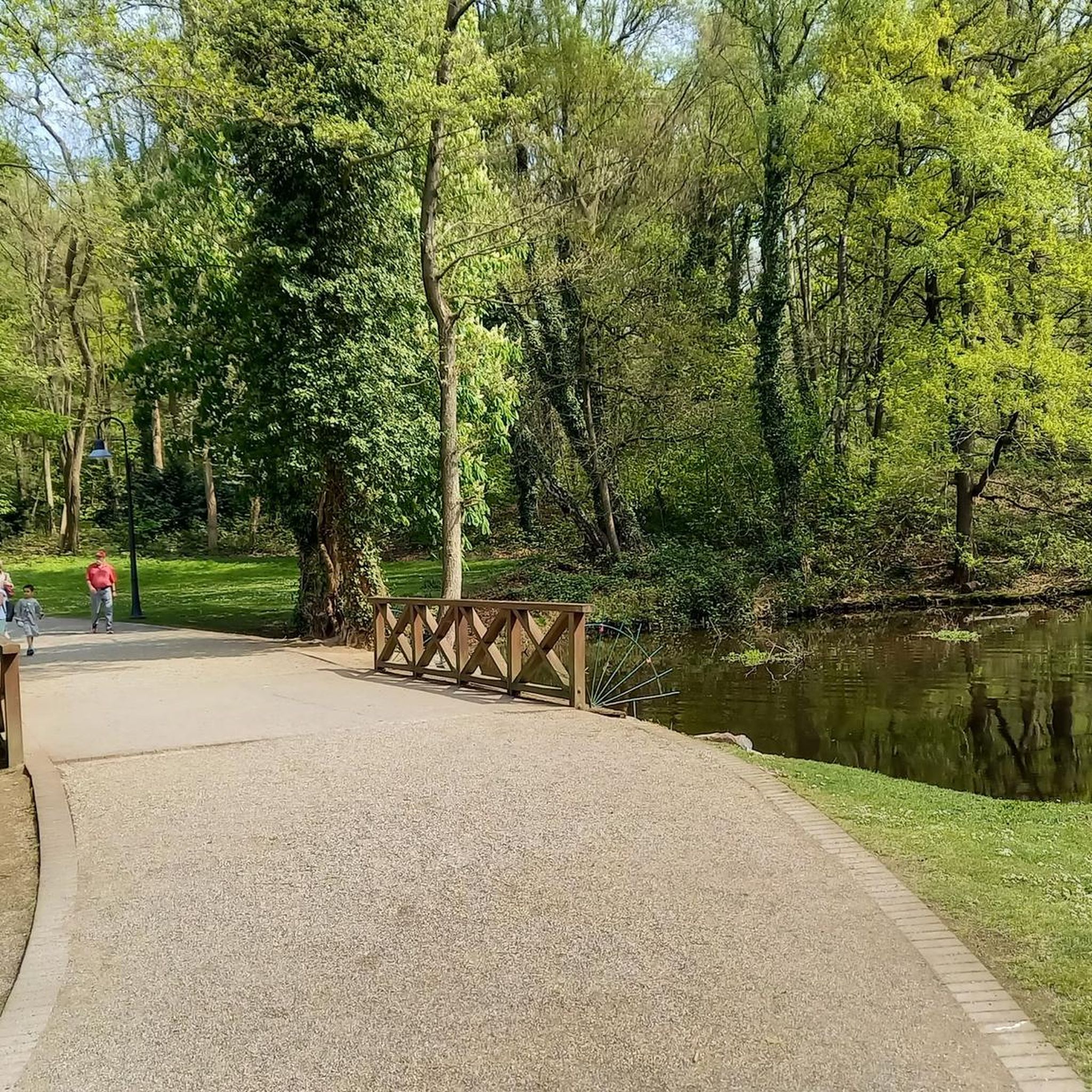
Among the trees and by the river you will find this magical bridge that makes you feel like you are in another world.
2
0

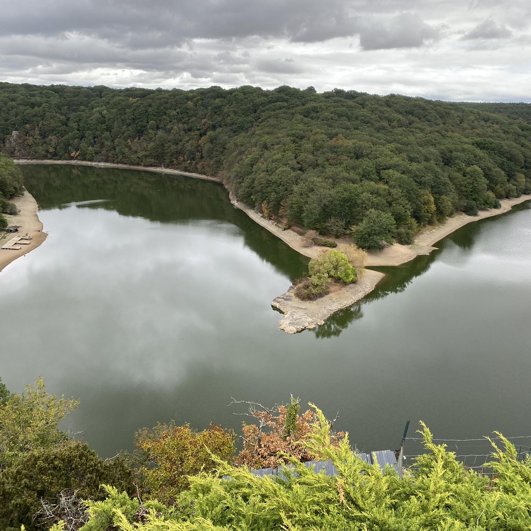
Pretty shaded road which crosses the national forest of Mervent-Vouvant. It runs alongside then crosses the Mother which brings a welcome freshness in summer.
2
0

In terms of equipment, provide for those who want to make it a fast course a mountain bike adapted to breakage and quickly arriving and individual protections appropriate to your practice (knee pad elbow pad adapted helmet) certain portions can be very fast on road links and on land courses rockery and path In any case, this course is super and very technical on certain portions but remains affordable for an athlete of average level, the jersey will surely and certainly be soaked
0
0

I don't know if we really have 21% but it's a good alternative to the classic climb of Mervent from the Mangoustan restaurant. An unmissable climb 👍
0
0

An emblematic bridge over the river "la Mère".
1
0

From the Pierre Brune dam, climb with a high percentage and hairpin bends in the forest that give the impression of being in a small mountain pass. One-way passage in the direction of the climb, because the road is strewn with gravel. But it also ensures minimal vehicle traffic.
1
1

Only a 500m climb but it averages 10% and peaks at 21% around the second bend. A great hill to attack full gas and beat the KOM.
1
1
Frequently Asked Questions
How many running routes are available in the Saint-Cyr-Des-Gâts area?
There are over 160 running routes around Saint-Cyr-Des-Gâts, offering a wide variety of options for different preferences and fitness levels. These routes traverse the picturesque rural landscape of the Vendée department.
What kind of terrain can I expect on the running trails around Saint-Cyr-Des-Gâts?
The terrain is quite varied, characterized by bocage—a landscape of small fields and woodlands separated by hedges and ditches. You'll find both open spaces and shaded paths. The area also features some wooded hills, with elevations ranging from 49m to 132m, providing gentle slopes and some challenging ascents. The Smagne River forms the southern border, offering potential riverside paths, and the nearby Mervent-Vouvant State Forest provides extensive natural settings with varied forest terrain.
Are there any easy or beginner-friendly running routes in Saint-Cyr-Des-Gâts?
Yes, while many routes are moderate to difficult, there are 9 easy running routes available. These are perfect for beginners or those looking for a more relaxed jog through the scenic countryside.
What do other runners say about the trails in Saint-Cyr-Des-Gâts?
The running routes in Saint-Cyr-Des-Gâts are highly rated by the komoot community, with an average score of 4.1 stars from over 30 reviews. More than 2600 runners have used komoot to explore the varied terrain, often praising the tranquil bocage landscapes and the diverse options available.
Are there any long-distance running trails near Saint-Cyr-Des-Gâts?
Absolutely. For those seeking longer runs, routes like the Déluge Bridge – The Mother loop from Bourneau offer a substantial 23.2 km challenge. Another excellent option is the Mervent Forest loop from Vouvant, which spans 18.0 km through varied forest terrain.
What natural features or landmarks can I see while running in the area?
The region is rich in natural beauty and historical sites. You can explore the unique bocage landscape, discover the rare Saint-Daboec heather along trails like the 'Circuit pédestre Les Bruyères', or enjoy views of the Smagne River. Nearby attractions include the extensive Mervent-Vouvant State Forest and the charming medieval village of Vouvant, which is one of 'Les Plus Beaux Villages de France'.
Are there any circular running routes available?
Yes, many of the running routes around Saint-Cyr-Des-Gâts are circular, allowing you to start and finish at the same point. For example, the 'Circuit pédestre Les Petits Gâts' is a 12.5 km loop trail that starts from the Beugnon leisure area, perfect for discovering the local bocage.
Where can I park when accessing running trails in Saint-Cyr-Des-Gâts?
A convenient starting point for several trails is the Zone de Loisirs du Beugnon. This leisure area offers parking facilities, making it easy to access routes like the 'Circuit pédestre Les Petits Gâts' and 'Circuit pédestre Les Bruyères'.
Are there any facilities available for runners at the trailheads?
The Zone de Loisirs du Beugnon is a central hub for outdoor activities. It features an outdoor fitness space with various equipment for pre- or post-run exercises, as well as picnic spots and public restrooms, making it a great base for your run.
Can I find running routes that are suitable for families?
While specific 'family-friendly' routes are not explicitly categorized, the easier and shorter routes, particularly those starting from the Zone de Loisirs du Beugnon with its facilities, would be suitable for families looking for a gentle jog or walk together. The varied terrain and natural features offer an engaging experience for all ages.
What is the best season for running in Saint-Cyr-Des-Gâts?
The region's mild climate makes it suitable for running throughout much of the year. Spring and autumn offer pleasant temperatures and beautiful scenery with blooming flora or vibrant fall colors. Summer can be warm, so early morning or late evening runs are recommended. Winter runs are also possible, though some paths might be muddy after rain.
Are there any running routes that offer a good challenge with significant elevation changes?
For runners looking for a more challenging experience, routes with significant elevation changes are available. The Pont de Diet loop from Barrage de Pierre Brune is a difficult 8.2 km path that provides a good workout with its ascents and descents. The 'Circuit pédestre Les Petits Gâts' also features an elevation gain of 128 meters over its 12.5 km.
Most popular routes around Saint-Cyr-Des-Gâts
Most popular attractions around Saint-Cyr-Des-Gâts

Get inspired with the komoot mobile app


Explore more
Browse the best Running Trails & Routes in other regions.
