The best walks and hikes around Saint-Étienne-De-Brillouet
4.6
(12)
85
hikers
15
hikes
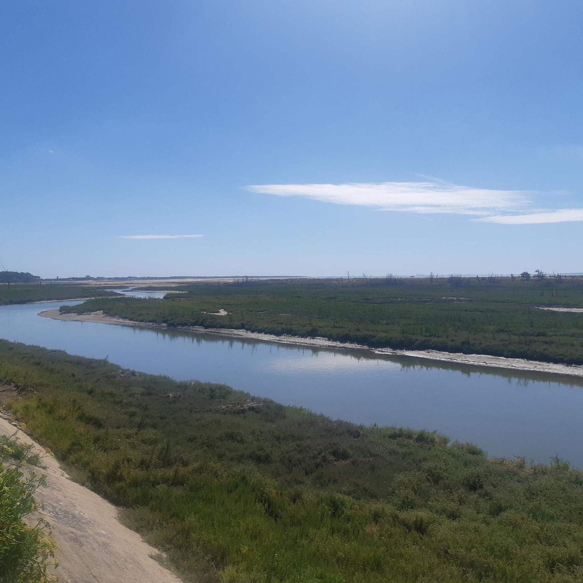
Hiking around Saint-Étienne-De-Brillouet offers a tranquil setting within the Vendée department of western France. The area is characterized by a peaceful rural countryside, featuring gentle slopes and open fields. This natural environment provides accessible hiking opportunities, with the nearby Marais Poitevin offering extensive wetlands and waterways for exploration. The region's terrain includes cultivated fields, areas bordered by large hedges, and local ponds.
Best hiking trails around Saint-Étienne-De-Brillouet
- The most popular hiking route is Hiking loop from Saint-Vincent-Puymaufrais, a 7.8…
Last updated: July 1, 2026
5.0
(2)
19
hikers
Easy hike. Great for any fitness level. Easily-accessible paths. Suitable for all skill levels.
5.0
(2)
13
hikers
12.6km
03:25
180m
180m
Moderate hike. Good fitness required. Easily-accessible paths. Suitable for all skill levels.

Sign up for free
4.7
(3)
6
hikers
3.34km
00:51
10m
10m
Easy hike. Great for any fitness level. Easily-accessible paths. Suitable for all skill levels.
4.7
(3)
13
hikers
11.8km
03:01
40m
40m
Moderate hike. Good fitness required. Easily-accessible paths. Suitable for all skill levels.
11
hikers
Easy hike. Great for any fitness level. Easily-accessible paths. Suitable for all skill levels.
Get access to more routes and recommendations from other explorers.
Sign up for free
Already have an account?
Our route recommendations are based on thousands of hikes, rides, and runs completed by other people on komoot.
Start today with a free account
Your next adventure awaits.
Login or Signup
Tips from the Community

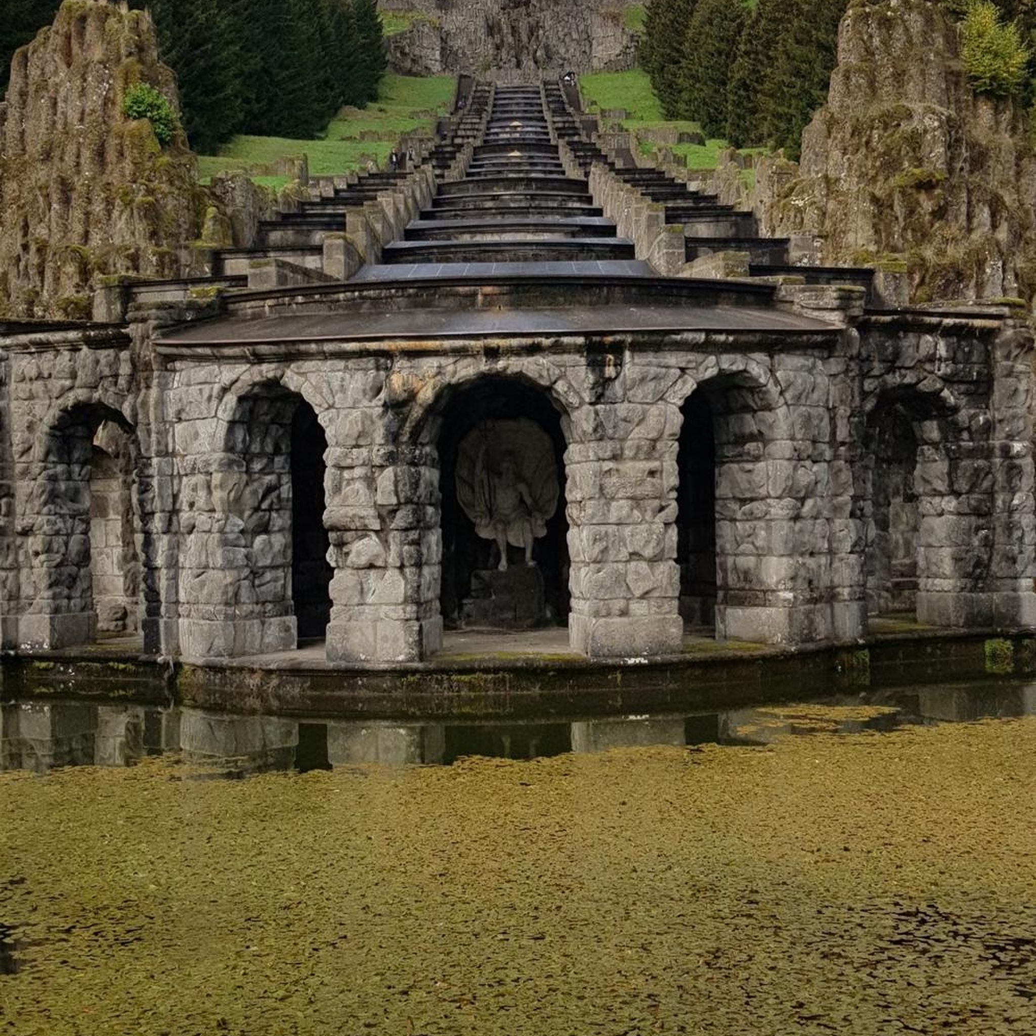
place called "the waterfall", but there is no waterfall!
0
0

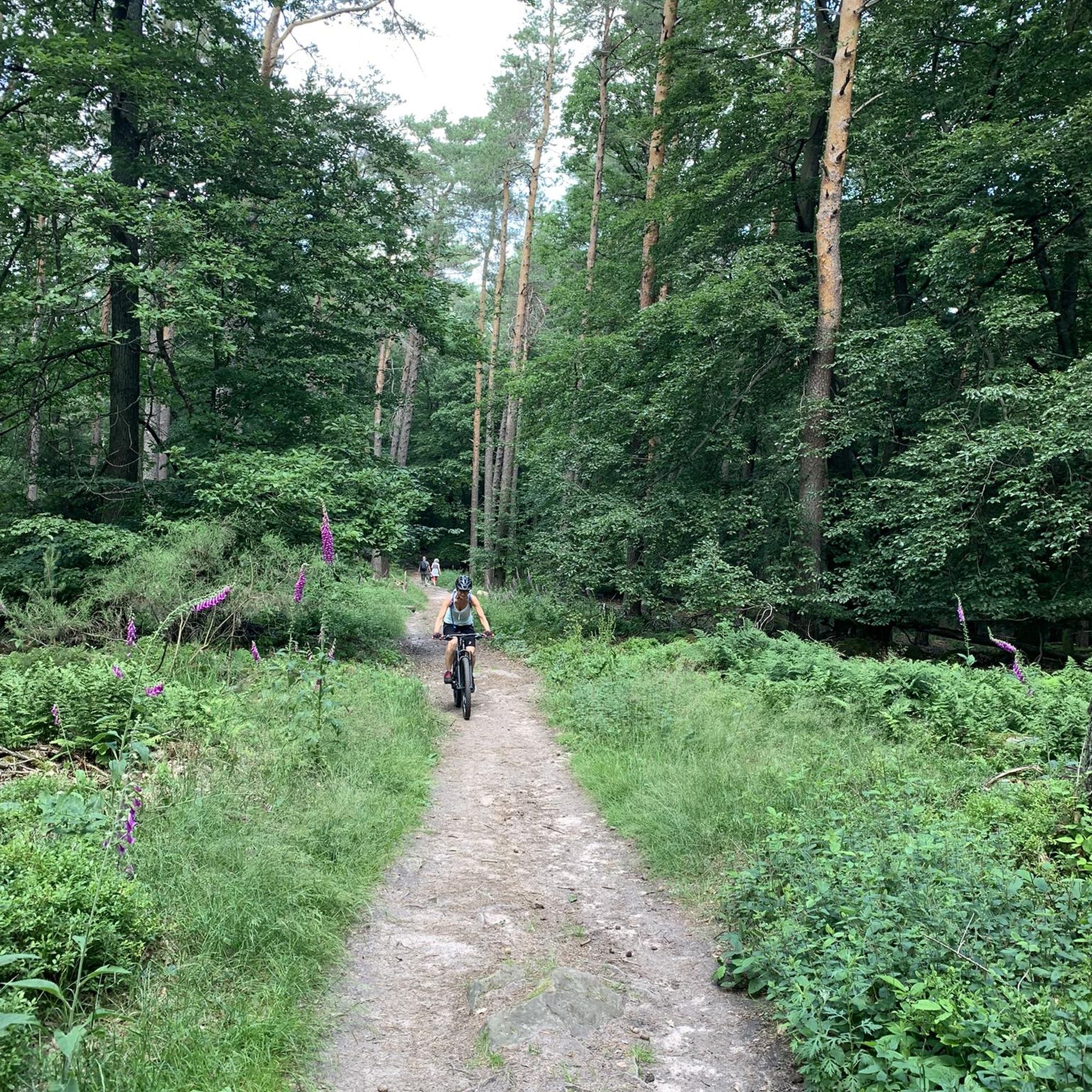
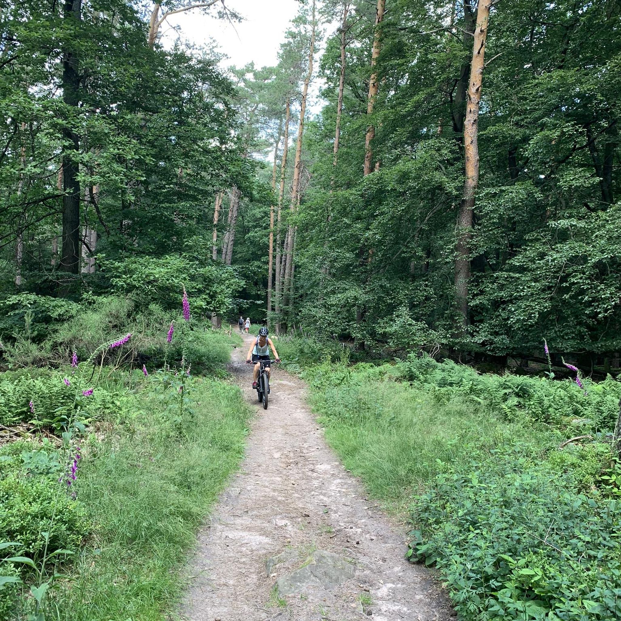
pretty forest. ideal for a family walk
0
0
Frequently Asked Questions
How many hiking trails are there in Saint-Étienne-De-Brillouet?
There are 17 hiking trails available around Saint-Étienne-De-Brillouet. These routes cater to various preferences, from easy strolls to more challenging moderate hikes.
What kind of terrain can I expect on hikes around Saint-Étienne-De-Brillouet?
The terrain around Saint-Étienne-De-Brillouet is characterized by a peaceful rural countryside, featuring gentle slopes and open fields. You'll primarily encounter natural landscapes, offering a serene environment for your walks.
Are there family-friendly hiking options in the area?
Yes, Saint-Étienne-De-Brillouet offers several easy hiking options suitable for families. For example, The Pond – Animals loop from Saint-Martin-Lars-en-Sainte-Hermine is an easy 3.0-mile (4.9 km) path that provides a gentle walk around a pond, perfect for observing local wildlife.
Can I bring my dog on the hiking trails?
Many of the rural trails in Saint-Étienne-De-Brillouet are suitable for dogs, especially those that traverse open fields and quiet country paths. It's always recommended to keep your dog on a leash and respect local regulations regarding pets in natural areas.
Are there many circular hiking routes available?
Yes, many of the hiking routes in the region are circular, allowing you to start and end at the same point. An example is the Hiking loop from Saint-Vincent-Puymaufrais, which is a 7.8-mile (12.6 km) trail through the local countryside.
What is the best time of year to go hiking in Saint-Étienne-De-Brillouet?
Saint-Étienne-De-Brillouet experiences a mild climate with warm summers and cool, wet winters. The spring and autumn months are particularly pleasant for hiking, offering comfortable temperatures and beautiful scenery. However, the area is generally favorable for outdoor activities throughout much of the year.
Are there any notable natural features or attractions to explore near the hiking trails?
A significant natural attraction less than 40 kilometers from Saint-Étienne-De-Brillouet is the Marais Poitevin. This extensive network of canals, waterways, and wetlands, often called 'Green Venice,' offers unique opportunities for hiking amidst its distinctive landscapes and rich biodiversity.
What do other hikers say about the trails in Saint-Étienne-De-Brillouet?
The routes in Saint-Étienne-De-Brillouet are highly rated by the komoot community, with an average score of 4.5 stars from over 18 reviews. Hikers often praise the peaceful rural setting and the accessibility of the trails for various skill levels.
Are there options for shorter, easier walks?
Absolutely. There are 9 easy routes available. For a shorter, accessible walk, consider the Green Oaks Trail loop from Sainte-Gemme-la-Plaine, which is an easy 3.3-mile (3.3 km) path.
Are there longer hiking routes for more experienced hikers?
Yes, for those seeking a longer experience, there are several moderate routes. The Toller alter Baum loop from Sainte-Gemme-la-Plaine is a moderate 7.4-mile (11.9 km) route that provides a good challenge while exploring the local countryside.
What are the difficulty levels of hiking trails in Saint-Étienne-De-Brillouet?
The hiking trails around Saint-Étienne-De-Brillouet are primarily easy to moderate. Out of 17 routes, 9 are classified as easy, 7 as moderate, and there is 1 difficult route, offering options for various fitness levels.
Most popular routes around Saint-Étienne-De-Brillouet

Get inspired with the komoot mobile app


Explore more
Browse the best Hikes in other regions.
