The best walks and hikes around Saint-Prouant
4.5
(168)
969
hikers
167
hikes
Hiking around Saint-Prouant offers diverse trails through the characteristic Bocage landscapes of the Vendée region. This area features a mosaic of woodlands, pastures, and hedgerows, alongside historical sites and natural water bodies. Hikers can explore the banks of the Lay river, discover the Bourroche pond, and pass by historical priories and logis. The terrain generally includes gentle elevation changes, making it accessible for various fitness levels.
Best hiking trails around Saint-Prouant
- The most popular hiking route is Lake Rochereau –…
Last updated: October 9, 2026
3.9
(10)
32
hikers
12.4km
03:18
120m
120m
Moderate hike. Good fitness required. Easily-accessible paths. Suitable for all skill levels.
5.0
(3)
11
hikers
15.2km
04:05
180m
180m
Moderate hike. Good fitness required. Easily-accessible paths. Suitable for all skill levels.

5.0
(1)
9
hikers
8.71km
02:19
90m
90m
Moderate hike. Good fitness required. Easily-accessible paths. Suitable for all skill levels.
4.0
(1)
6
hikers
6.00km
01:35
50m
50m
Easy hike. Great for any fitness level. Easily-accessible paths. Suitable for all skill levels.
4.0
(1)
8
hikers
8.55km
02:16
80m
80m
Moderate hike. Good fitness required. Easily-accessible paths. Suitable for all skill levels.
Get access to more routes and recommendations from other explorers.
Already have an account?
Our route recommendations are based on thousands of hikes, rides, and runs completed by other people on komoot.
Start today with a free account
Your next adventure awaits.


Tips from the Community

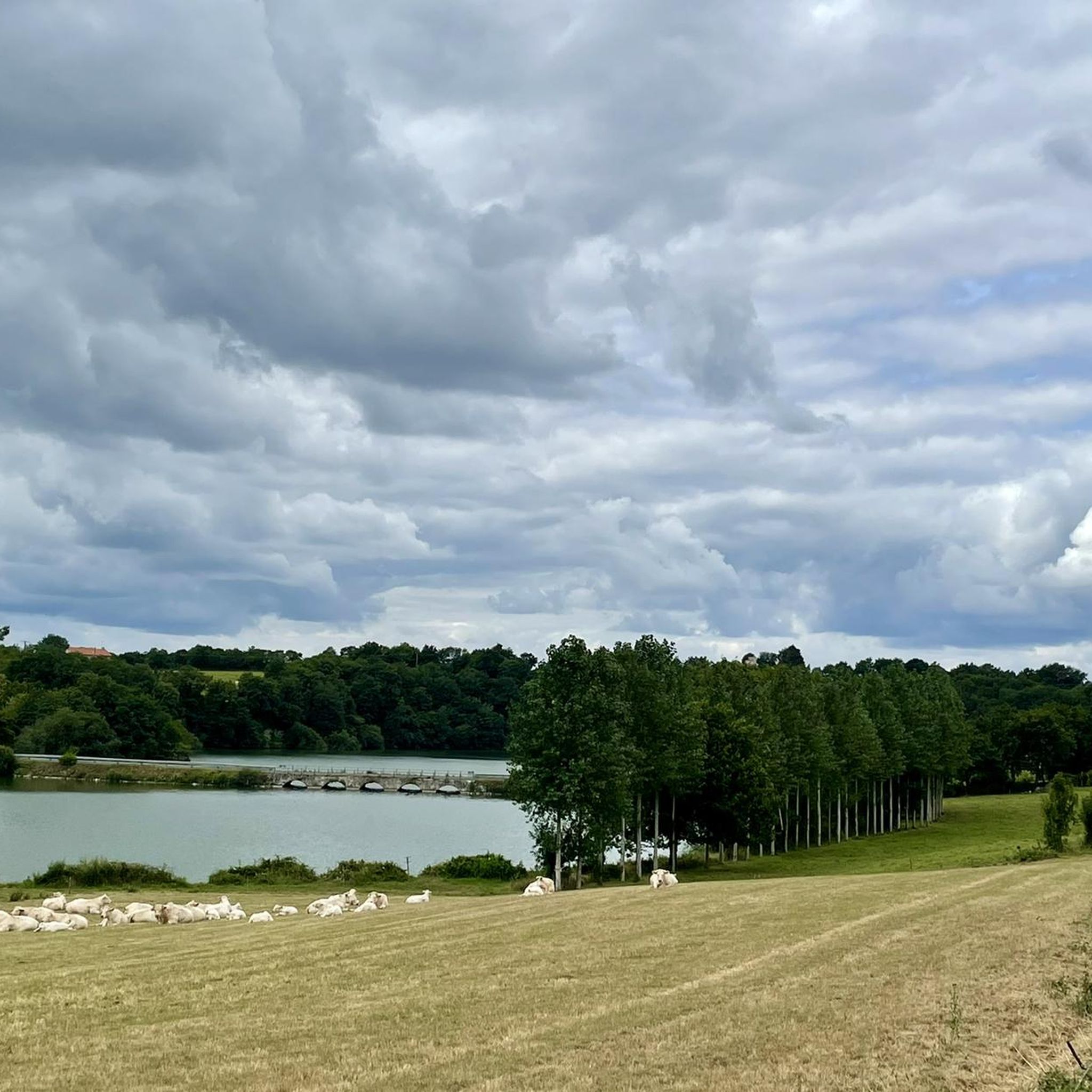
Rochereau Lake, with an area of 125 hectares, is the largest drinking water reserve in the Grand Lay Valley, fed by the Le Maine River. It has good fishing conditions and is home to a rich fish diversity in white fish, predatory fish and common and mirror carp of intermediate size.
1
0

It is a fun experience to walk on this floating bridge.
2
0

Can we use the word Gariotte?
0
0

The monks of the Sigournais priory owned many of them. Today there is almost no trace of these vines.
0
0

This set (laundry and fountain) is also complete with a drinking trough. These monuments are dated from the 18th century. An overflow system supplies the various basins. At the wash house, the water flows through a small channel. The surplus is then collected in tanks. It is used to water the hundred plots that make up the "lower gardens". These gardens belonged to inhabitants who did not have enough land to own an orchard or vegetable garden adjacent to their property.
0
0
Frequently Asked Questions
How many hiking trails are available around Saint-Prouant?
There are over 150 hiking trails recorded on komoot around Saint-Prouant, offering a wide variety of options for all skill levels. These trails explore the characteristic Bocage landscapes, historical sites, and natural water bodies of the region.
Are there easy hiking trails suitable for beginners or families in Saint-Prouant?
Yes, Saint-Prouant offers many easy trails perfect for beginners or families. For instance, the Loop3 loop from Monsireigne is an easy 5.8 km path that takes you through pleasant countryside. Many trails also feature gentle elevation changes, making them accessible for various fitness levels.
What kind of landscapes can I expect to see while hiking in Saint-Prouant?
Hikers in Saint-Prouant will primarily experience the unique 'Bocage' landscapes, characterized by a mosaic of woodlands, pastures, and hedgerows. You'll also find trails along the banks of the Lay river, around the Bourroche pond, and through areas with historical priories and logis, offering a diverse and visually appealing environment.
Are there any circular hiking routes in the Saint-Prouant area?
Yes, many of the trails around Saint-Prouant are circular, allowing you to start and end at the same point. For example, the Floating Bridge – loop3 loop from Sigournais is a moderate 12.4 km circular route that offers varied scenery.
What historical sites or landmarks can I discover on the trails?
The trails around Saint-Prouant often pass by significant historical sites. You might encounter the 18th-century Logis de la Suraudière, the historic Prieuré de Grammont, or even the site of Cudet, an ancient village submerged after the construction of the Rochereau dam. The Terrier Marteau Twin Mills are also a notable highlight in the area.
Are there any challenging hikes for experienced trekkers?
While many trails are moderate, Saint-Prouant does offer more challenging options. There are 18 difficult routes available on komoot. These longer trails, such as the Sentier du Cudet (16.2 to 18 km), can take you further afield to places like Sigournais and Monsireigne, providing a more strenuous experience.
What are the best places to explore near Saint-Prouant for scenic views?
For scenic views, consider trails that lead to the Bourroche pond or along the Lay river. The general Bocage landscape itself offers picturesque vistas. A bit further out, the Saint-Michel-Mont-Mercure bell tower is the highest point in Vendée and provides panoramic views of the surrounding countryside.
What do other hikers enjoy most about hiking in Saint-Prouant?
The area is highly rated by the komoot community, with an average score of 4.6 stars. Reviewers often praise the diverse Bocage landscapes, the tranquility of the trails, and the blend of natural beauty with historical points of interest like the Prieuré de Grammont and the Logis de la Suraudière.
Are there any castles or historical buildings to visit in the vicinity of Saint-Prouant?
Yes, the region is rich in historical architecture. You can find several castles and historical buildings nearby, such as the Boistissandeau Castle, the Bazoges-en-Pareds Keep, and the Feudal Castle of Sigournais, which offers a glimpse into the past with its impressive military architecture.
Can I bring my dog on the hiking trails in Saint-Prouant?
Many trails in Saint-Prouant are suitable for dogs, especially those that traverse natural landscapes like woodlands and open fields. However, it's always recommended to keep your dog on a leash, particularly when passing through agricultural areas or near livestock, and to check local regulations for specific trails.
Where do most of the hiking trails in Saint-Prouant start?
Many of the marked hiking trails in Saint-Prouant originate from the Place du Chétis Patis. Additionally, some trails, such as the Sentiers de Grammont et des Grands Montains, begin at the historic Prieuré de Grammont, offering convenient starting points for your adventure.
Most popular routes around Saint-Prouant
Most popular attractions around Saint-Prouant

Get inspired with the komoot mobile app


Explore more
Browse the best Hikes in other regions.
