The best road cycling routes around Schweighausen
4.4
(453)
15,233
riders
307
rides
Road cycling routes around Schweighausen are situated in the Rhine-Lahn district, offering varied terrain for cyclists. The region is characterized by green hills, dense forests, and vineyards, with views of the Lahn River. Cyclists can expect routes that traverse both forested areas and open fields, often including gravel paths. The topography ranges from river valleys to the foothills of the Taunus Mountains.
Best road cycling routes around Schweighausen
- The most popular road cycling route is Roading - Guewenheim – Cernay - Vieux-Thann loop from Aspach-le-Bas, an 18.0 miles (29.0 km) trail that takes 1 hour 14 minutes to complete. This route features a mix of forested sections and open landscapes.
- Another top favourite among local road cyclists is Guewenheim station – Guewenheim - Lauw Bike Path loop from Burnhaupt-le-Haut, an easy 18.7 miles (30.2 km) path. This route offers gentle gradients suitable for a relaxed ride.
- Local road cyclists also love the Chapel of Rammersmatt – Rammersmatt - Bourbach-le-Bas loop from Aspach-le-Bas, a 56.0 miles (90.1 km) trail leading through varied terrain, often completed in about 3 hours 52 minutes.
- Road cycling around Schweighausen is defined by green hills, dense forests, and river valleys. The network offers options for different ability levels, from easy loops to more challenging moderate routes.
- The routes in Schweighausen are highly rated by the komoot community with an average score of 4.4 stars from over 400 reviews. More than 16,000 road cyclists have used komoot to explore Schweighausen's varied terrain.
Last updated: July 3, 2026
5.0
(1)
40
riders
Easy road ride. Great for any fitness level. Mostly well-paved surfaces and easy to ride.
3.0
(1)
26
riders
Easy road ride. Great for any fitness level. Mostly well-paved surfaces and easy to ride.

Sign up for free
14
riders
Moderate road ride. Good fitness required. Mostly well-paved surfaces and easy to ride.
18
riders
32.0km
01:18
170m
170m
Easy road ride. Great for any fitness level. Mostly well-paved surfaces and easy to ride.
11
riders
17.0km
00:44
120m
120m
Easy road ride. Great for any fitness level. Mostly well-paved surfaces and easy to ride.
Get access to more routes and recommendations from other explorers.
Sign up for free
Already have an account?
Our route recommendations are based on thousands of hikes, rides, and runs completed by other people on komoot.
Start today with a free account
Your next adventure awaits.
Login or Signup

Tips from the Community

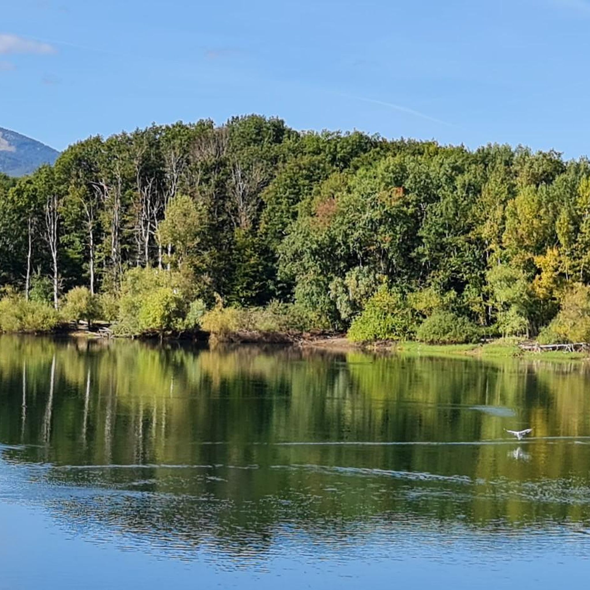
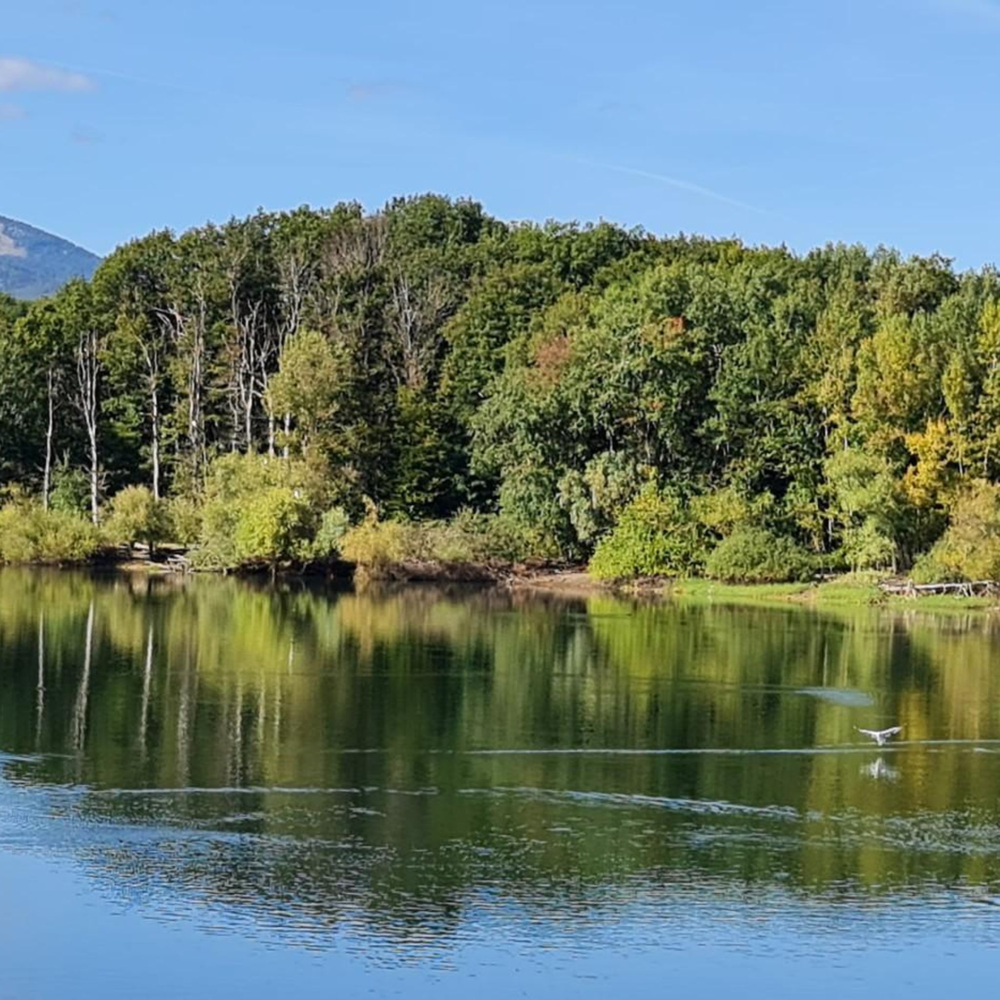
The Thur rises in the Vosges at the foot of the Ballon d'Alsace and flows for around 53 kilometers through Alsace. It crosses picturesque towns like Thann and Cernay before flowing into the Ill near Ensisheim. The river shapes the landscape, nature, and recreation equally.
0
0

Very nice cycle path along an old railway line.
1
0

Great view, 2025 good enough surface, mediocre traffic.
0
0

A perfect bike path with the best asphalt. What more could you want?
1
0

This bike path is very, very nice, and there's even a bench. The bike path is also under trees.
0
0

https://www.train-doller.org/ Information and travel times.
6
0

Burnhaupt station is now the operational centre of the Dollertalbahn in Upper Alsace, which is operated as a museum line by the TTDA (Train-Thur-Doller-Alsace) association. It dates back to the 1920s, after the original station was destroyed in a French offensive in the First World War. 2013-12-08 Burnhaupt
3
0

Small, friendly towns and good everything.
1
0
Frequently Asked Questions
How many road cycling routes are available around Schweighausen?
There are over 300 road cycling routes available around Schweighausen, offering a wide variety of options for different skill levels and preferences.
What kind of terrain can I expect on road cycling routes in Schweighausen?
The region offers diverse terrain, characterized by green hills, dense forests, and expansive vineyards. You can expect routes that alternate through forested areas and open fields, often featuring gravel paths. The topography ranges from scenic river valleys, such as along the Lahn River, to the foothills of the Taunus Mountains, ensuring a dynamic cycling experience.
Are there road cycling routes suitable for beginners in Schweighausen?
Yes, Schweighausen offers numerous routes suitable for beginners. There are nearly 90 easy routes, many of which feature gentle gradients. An example of an easy route is the Guewenheim station – Guewenheim - Lauw Bike Path loop from Burnhaupt-le-Haut, which is 30.2 km long.
What about more challenging road cycling routes for experienced riders?
For experienced riders seeking a challenge, there are over 50 difficult road cycling routes around Schweighausen. These routes often feature significant ascents and descents through the varied topography of the Taunus and Westerwald regions.
What is the best time of year for road biking in Schweighausen?
The region is especially beautiful for road cycling in late summer and early autumn when the landscape transforms with vibrant colors. These seasons typically offer pleasant weather conditions for exploring the green hills, forests, and vineyards.
Can I find circular road cycling routes in the area?
Yes, many of the road cycling routes around Schweighausen are designed as loops, allowing you to start and end at the same point. For example, the Roading - Guewenheim – Cernay - Vieux-Thann loop from Aspach-le-Bas is a popular 29 km circular route.
What attractions or landmarks can I explore near the road cycling routes?
Beyond the natural beauty, you can discover several attractions. Notable landmarks include the 13th-century St. George's Church with its Romanesque tower. For scenic views, consider visiting the Viewpoint at the summit of Vieil Armand. Other points of interest include the Hartmannswillerkopf National Monument and historical sites like Roche Sermet.
Are there any family-friendly road cycling options around Schweighausen?
Yes, the Lahn River itself offers dedicated cycle paths, which are generally flatter and more suitable for families. Additionally, many of the easy routes, such as the Guewenheim station – Guewenheim - Lauw Bike Path loop from Burnhaupt-le-Haut, provide gentle gradients perfect for a relaxed family ride.
Where can I find scenic viewpoints along the road cycling routes?
The region is known for its spectacular views, especially of the Lahn River and the surrounding green hills and vineyards. Many routes traverse elevated sections in the foothills of the Taunus Mountains, offering panoramic vistas. The Viewpoint at the summit of Vieil Armand is a specific highlight offering great views.
What do other road cyclists say about the routes in Schweighausen?
The road cycling routes in Schweighausen are highly rated by the komoot community, with an average score of 4.4 stars from over 400 reviews. Cyclists often praise the varied terrain, the mix of forested sections and open landscapes, and the well-maintained paths that cater to different ability levels.
Are there any longer road cycling routes for endurance training?
Absolutely. For those looking for longer rides, routes like the Chapel of Rammersmatt – Rammersmatt - Bourbach-le-Bas loop from Aspach-le-Bas cover a substantial distance of 90.1 km, providing ample opportunity for endurance training through varied terrain.
Are there any unique features or 'hidden gems' to discover on the road cycling routes?
Beyond the main routes, the region's charm lies in its alternating landscapes of forests and open fields, often with sections along the Lahn and parts of the historic Limes hiking trail that also offer cycling sections. Exploring these can lead to discovering quieter, picturesque spots away from the more frequented paths.
Most popular routes around Schweighausen
Most popular attractions around Schweighausen

Get inspired with the komoot mobile app


Explore more
Browse the best Road cycling routes in other regions.
