
The best running trails around Savas-Mépin
4.4
(50)
1,184
runners
236
runs
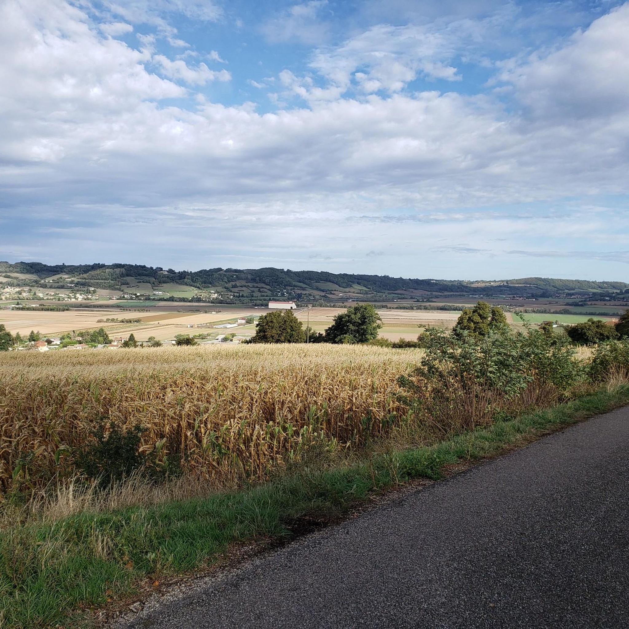
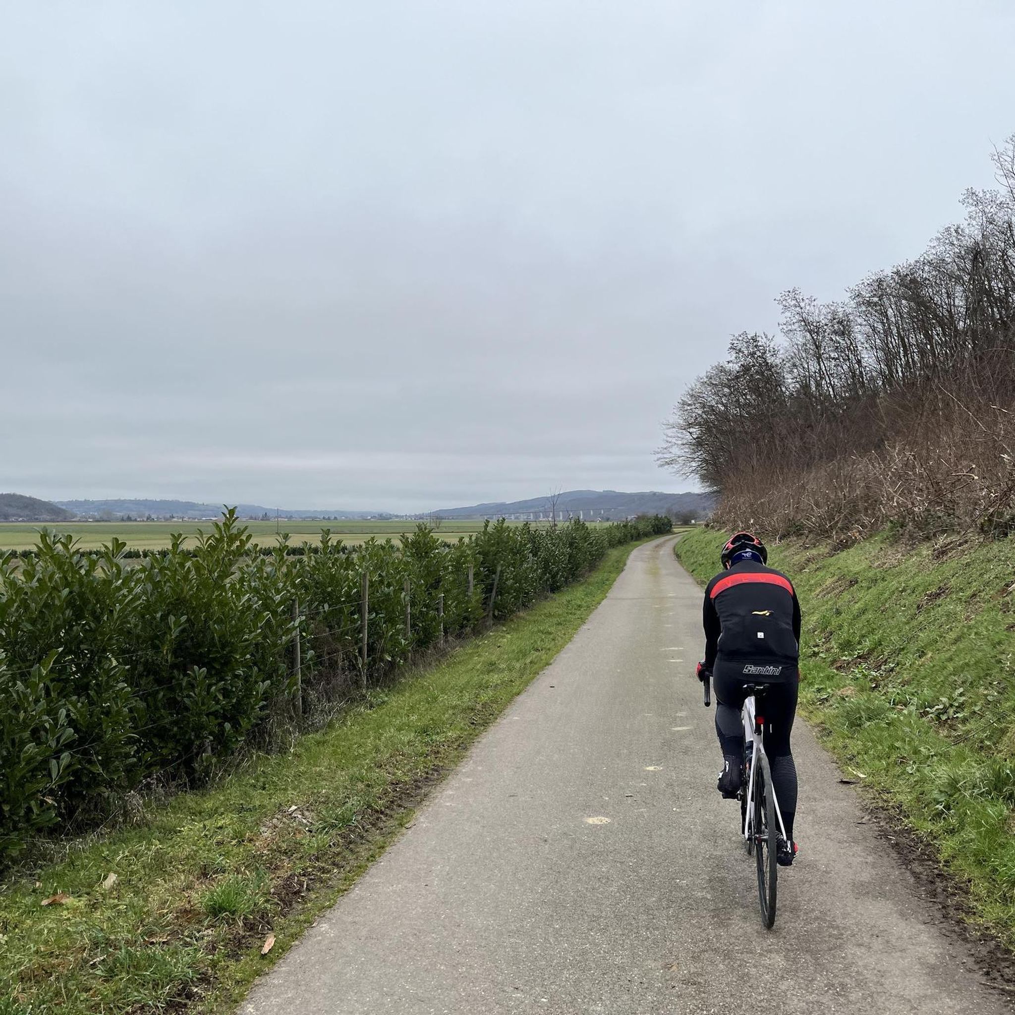
Jogging around Savas-Mépin offers routes through a landscape characterized by open plains, agricultural areas, and sections of state forest. The region features gentle rolling hills, with some routes including moderate ascents. These running routes provide opportunities to explore the local countryside and its varied terrain.
Best jogging routes around Savas-Mépin
- The most popular jogging route is View of the Oytier Plain loop from Tiron et Coteau, a 10.0 miles (16.2 km) trail that takes 1 hour 43 minutes to…
Last updated: August 25, 2026
5
runners
4.75km
00:30
30m
30m
Easy run. Great for any fitness level. Mostly paved surfaces. Suitable for all skill levels.
5
runners
3.88km
00:24
30m
30m
Easy run. Great for any fitness level. Mostly paved surfaces. Suitable for all skill levels.

Sign up for free
5
runners
6.79km
00:42
40m
40m
Moderate run. Good fitness required. Mostly paved surfaces. Suitable for all skill levels.
3
runners
9.87km
01:04
50m
50m
Moderate run. Good fitness required. Mostly paved surfaces. Suitable for all skill levels.
3
runners
8.74km
00:54
50m
50m
Moderate run. Good fitness required. Mostly paved surfaces. Suitable for all skill levels.
Get access to more routes and recommendations from other explorers.
Sign up for free
Already have an account?
Our route recommendations are based on thousands of hikes, rides, and runs completed by other people on komoot.
Start today with a free account
Your next adventure awaits.
Login or Signup

Frequently Asked Questions
How many running routes are available around Savas-Mépin?
There are over 200 running routes around Savas-Mépin, offering a wide variety of options for different fitness levels and preferences. These include 17 easy routes, 175 moderate routes, and 35 difficult routes.
Are there any easy jogging paths for beginners in Savas-Mépin?
Yes, Savas-Mépin offers 17 easy jogging routes perfect for beginners or those looking for a more relaxed run. These paths typically feature gentle terrain through the region's open plains and agricultural areas.
Can I find circular running routes in the Savas-Mépin area?
Many of the running routes in Savas-Mépin are designed as loops, allowing you to start and finish at the same point. For example, the Running loop from La Guillotière is a moderate 6.6 km circular path.
What kind of terrain can I expect on the jogging trails around Savas-Mépin?
The jogging trails around Savas-Mépin feature a diverse landscape, including open plains, agricultural fields, and sections of state forest. You'll encounter gentle rolling hills, with some routes including moderate ascents, providing varied terrain for your run.
Are there any running routes that go through forested areas in Savas-Mépin?
Yes, some running routes in Savas-Mépin lead through forested areas, offering shade and a different running experience. The Forêt domaniale loop from La Guillotière is a great option, taking you through the state forest.
What do other runners say about the trails in Savas-Mépin?
The running routes in Savas-Mépin are highly rated by the komoot community, with an average score of 4.6 stars from over 40 reviews. Runners often praise the varied terrain, the scenic views of the Oytier Plain, and the opportunities to explore the local countryside.
Are there any interesting landmarks or attractions near the running routes in Savas-Mépin?
While jogging, you might encounter several points of interest in the Savas-Mépin region. Notable attractions include historical sites like Bonnevaux Castle and Château de Septème, as well as natural spots like Montjoux Pond.
What is the typical duration for a jogging route in Savas-Mépin?
The duration of jogging routes in Savas-Mépin varies widely depending on the distance and your pace. For example, the Running loop from Beauvoir-de-Marc, which is 7.8 km, is often completed in about 50 minutes, while longer routes can take over an hour and a half.
Are there any routes with significant elevation changes for a more challenging run?
Yes, while many routes feature gentle rolling hills, Savas-Mépin also offers routes with more significant ascents for a challenging run. The region's landscape includes some moderate climbs, particularly on routes that traverse the varied terrain between plains and forests.
What are the best seasons for running in Savas-Mépin?
Savas-Mépin offers enjoyable running conditions across multiple seasons. Spring and autumn provide pleasant temperatures and vibrant scenery. Summer mornings and evenings are ideal to avoid the midday heat, while winter running is possible, though conditions may vary depending on weather.
Can I find running routes that offer scenic views in Savas-Mépin?
Absolutely. Many running routes in Savas-Mépin provide picturesque views, especially those that traverse the open plains. The View of the Oytier Plain loop from Tiron et Coteau is particularly known for its expansive vistas across the Oytier Plain.
Most popular attractions around Savas-Mépin

Get inspired with the komoot mobile app


Explore more
Browse the best Running Trails & Routes in other regions.
