Top 20 Mountain Passes around Saint-Dalmas-Le-Selvage
Best mountain passes around Saint-Dalmas-Le-Selvage are found in the northern Alpes-Maritimes, a region nestled within the Mercantour National Park. This area serves as a hub for outdoor activities, offering access to various mountain passes. The landscape transitions from subalpine larch woods to alpine meadows and rocky terrain. Saint-Dalmas-Le-Selvage is a base for exploring these natural attractions.
Best mountain passes around Saint-Dalmas-Le-Selvage
- The most popular mountain passes is Cayolle Pass, a mountain pass that culminates at more than 2,324 meters…
Last updated: July 10, 2026
Cayolle Pass
Highlight • Mountain Pass
Translated by Google •
Tip by

Col de Larche
Highlight • Mountain Pass
Translated by Google •
Tip by

Sign up now to discover places like this
Get recommendations on the best single tracks, peaks, & plenty of other exciting outdoor places.
Sign up for free
Moutière Pass
Highlight • Mountain Pass
More information: quaeldich.de/paesse/col-de-la-moutiere and de.wikipedia.org/wiki/Col_de_la_Mouti%C3%A8re
Translated by Google •
Tip by

Col de la Bonette
Highlight • Mountain Pass
Tip by

Trail from Rocca Brancia Pass to Lake Oserot
Highlight (Segment) • Trail
The ground is loose at times but does not present great difficulties, the final hairpins are splendid.
Translated by Google •
Tip by

Sign up for free to discover even more mountain passes around Saint-Dalmas-Le-Selvage.
Sign up for free
Already have an account?
Start today with a free account
Your next adventure awaits.
Login or Signup
Popular around Saint-Dalmas-Le-Selvage

Hike from Saint-Étienne-de-Tinée to Briançon – Europe Trail (GR 5)

Mountains and marmots — France’s Ubaye trail (GR 56)
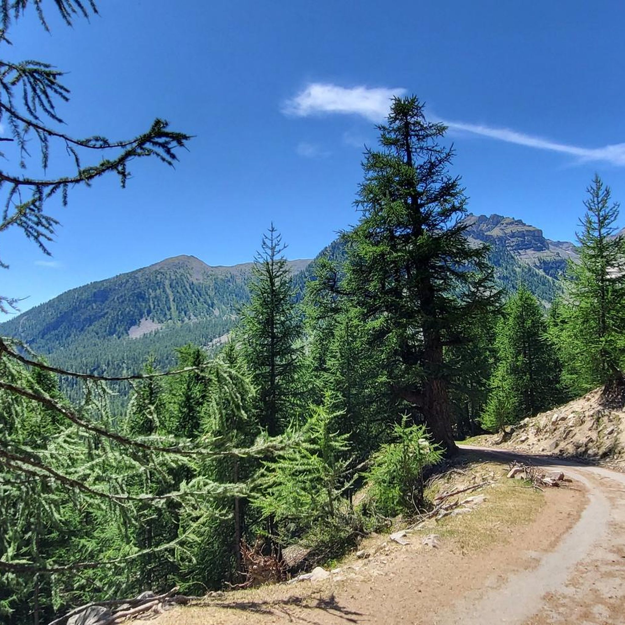
Hiking around Saint-Dalmas-Le-Selvage
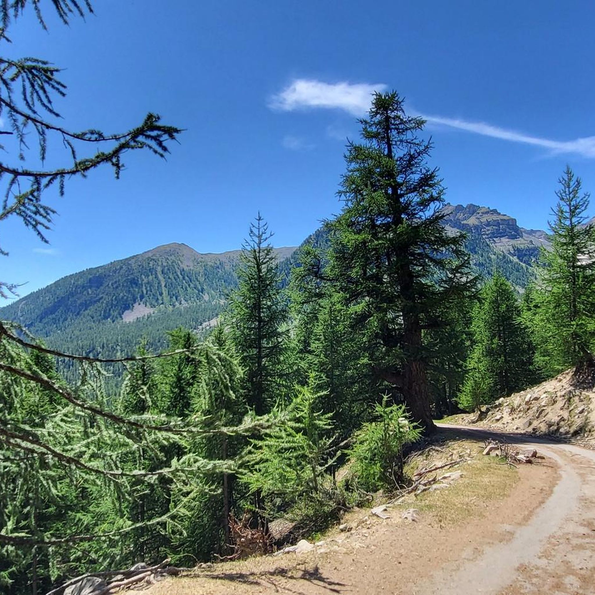
Road Cycling Routes around Saint-Dalmas-Le-Selvage
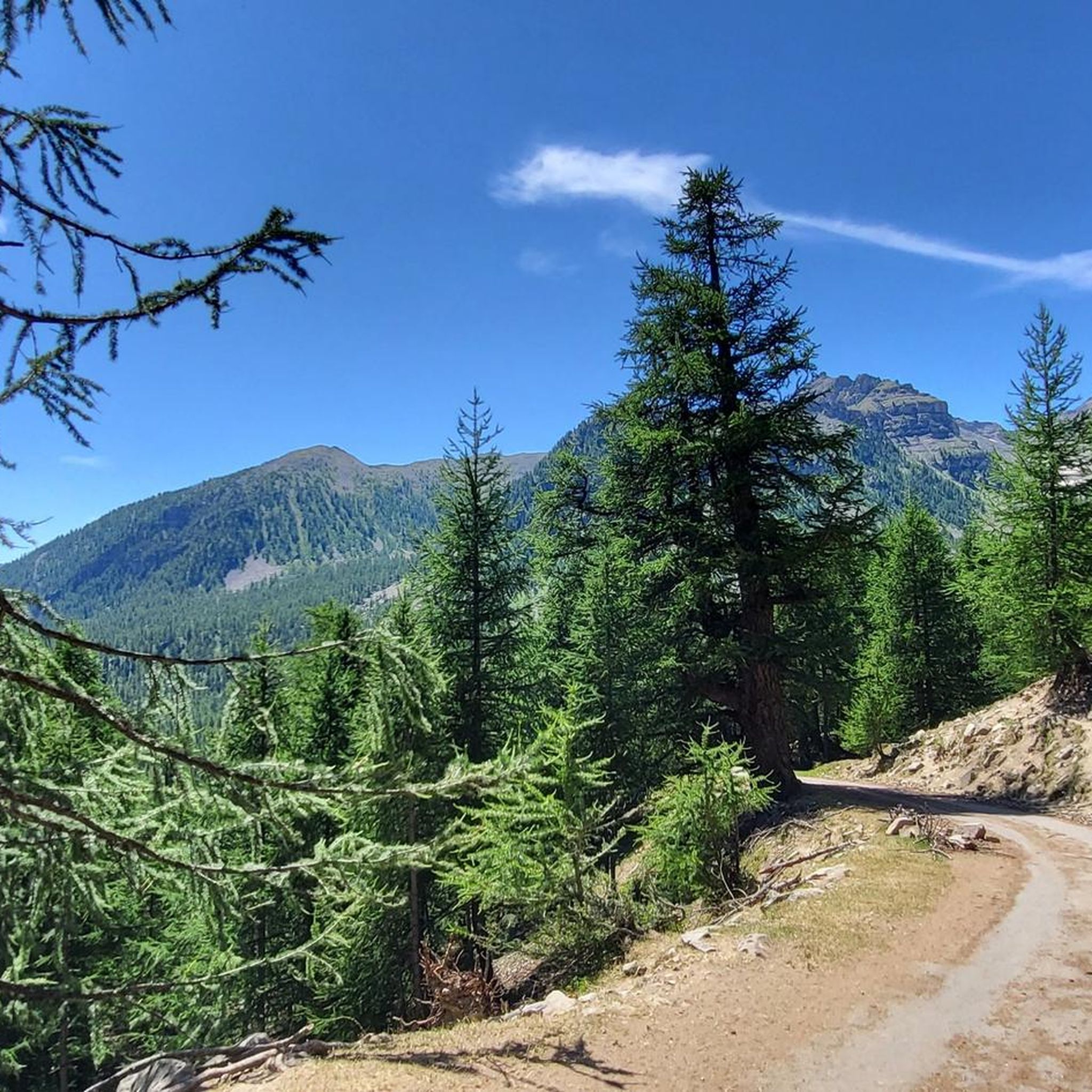
MTB Trails around Saint-Dalmas-Le-Selvage
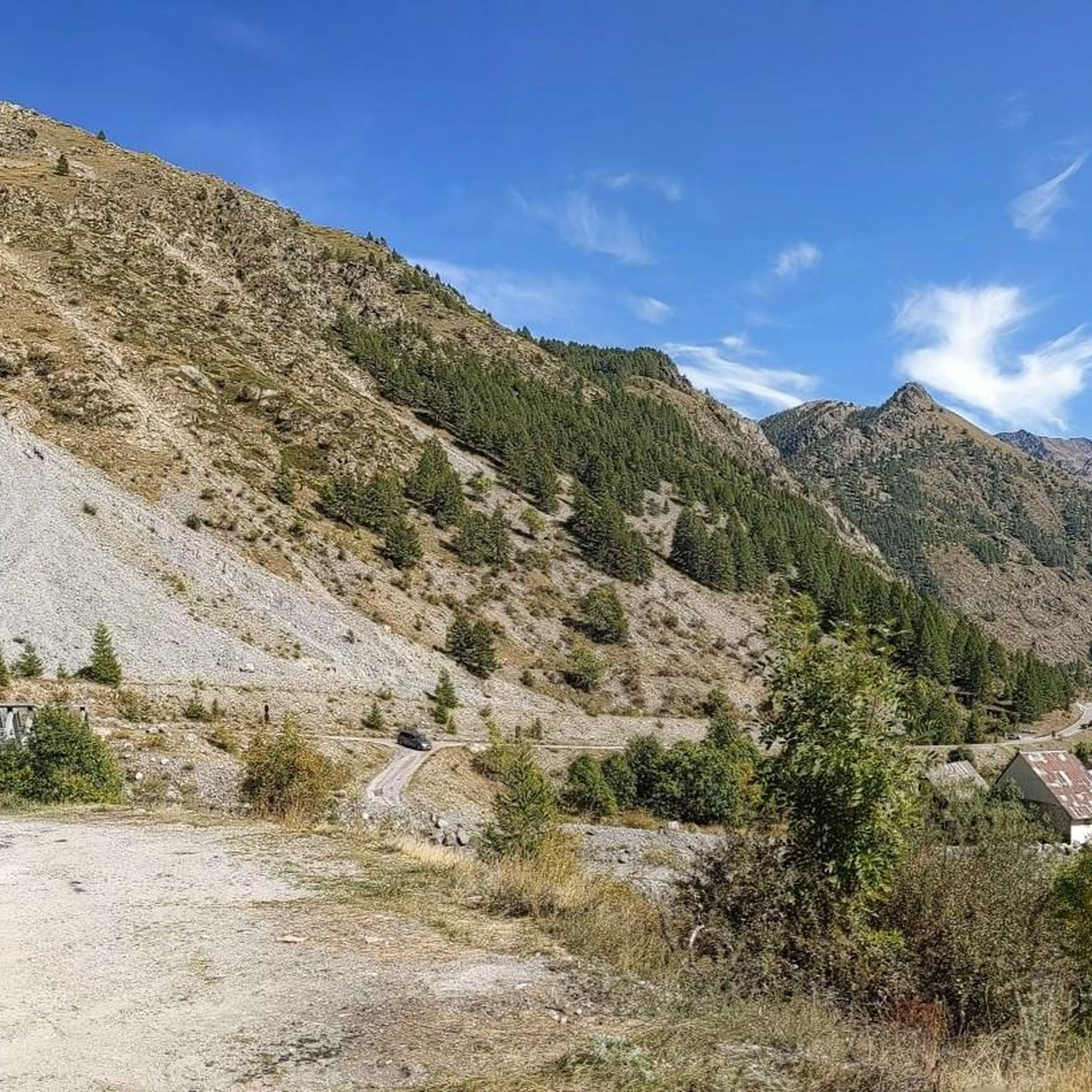
Cycling around Saint-Dalmas-Le-Selvage
Running Trails around Saint-Dalmas-Le-Selvage

Mountain Hikes around Saint-Dalmas-Le-Selvage

Gravel biking around Saint-Dalmas-Le-Selvage
Other adventures around Saint-Dalmas-Le-Selvage


Tips from the Community

I rode up to the Col de Moutiere from Saint Etienne via Saint Dalmas, and then took the 3km of gravel road link to the Col de la Bonette. I returned to Saint Etienne via the more classic D64. It makes for a much quieter, wilder and steeper ascent, with a better (but busier) road surface and more gradual decline for the D64 descent. Also this way it's a loop and you see more of the incredible scenery. The 3km gravel section is very doable with my moutain bike (i would rate it as a 'blue'). I didnt need to carry or push the bike even though some parts were boken up by small water crossings. I was overtaken by a motorbike at one point. Be careful of the weather here, especially the potentially violent afternoon thunderstorms. There is no shelter nearby
0
0

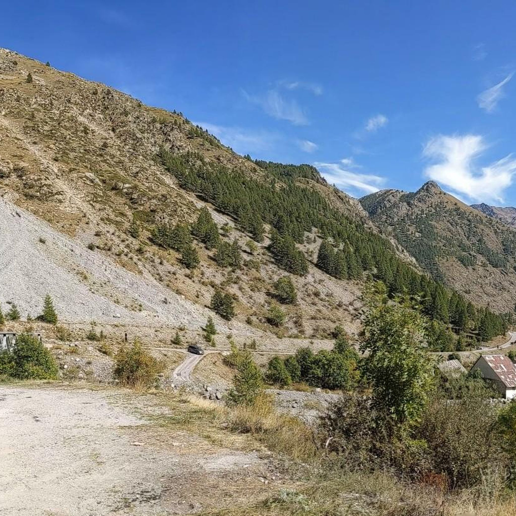
If there were a ranking of the most beautiful, undiscovered Alpine passes in the cycling world, the Moutière would certainly be a contender. Starting from Saint-Dalmas-le-Selvage, the climb through the valleys of Sestrière and Sagnas is simply sublime.
1
0

Lake Oserot is enchanting. Only cows grazing peacefully and marmots.
0
0

https://youtu.be/HYRZdujIyPo Epic trail with a high alpine feel past mountain lakes. No blocked sections, very smooth to ride, the constant view is spectacular. You don't know whether to let it go because the trail is so beautiful or ride slowly to enjoy the scenery. The epitome of a dream trail.
1
0

Some parts slightly exposed, but overall it is SPECTACULAR!!! https://youtu.be/Skn9JyAteBw?si=-ivMJ_v09Mp5pjlp&t=365
1
0

The Col de la Moutière is located in Provence-Alpes-Cote d'Azur. This climb is part of the Alps. From Saint Etienne de Tinée, the Col de la Moutière is 18.3 km long. Over this distance 1300 altimeters are bridged. The average slope of the rise is, therefore, 7.1%. You can check the current traffic and winter situation on the Col de la Moutière in Provence-Alpes-Cote d'Azur on Bison futé.
1
0

Pleasantly even and quite quiet climb from the Val Ubaye. Gasthaus am Vertex was closed when I drove at the end of September 2023. Kiosk was open. Motorcyclists were a little more annoying than on my previous passes (Lauterat, Vars).
0
0
The Col de Larche (Italian: Colle della Maddalena) is a pass through the Southern Alps on the border between France and Italy. It connects the Larche valley (a branch of the Ubaye valley in Alpes-de-Haute-Provence), with the Valle Stura di Demonte, Italy. It is located at 1,991 meters above sea level, between the Ubaye and the Mercantour massif, and is open all year round.
0
0
Frequently Asked Questions
What are some of the most popular mountain passes to visit around Saint-Dalmas-Le-Selvage?
Among the most popular passes are the Cayolle Pass, known for its quiet roads and impressive waterfalls, and the Col de Larche, an emblematic passage on the French-Italian border offering breathtaking panoramas. The Col de la Bonette is also highly regarded for its status as one of Europe's highest paved roads and its spectacular 360-degree views.
Which mountain passes offer the most challenging cycling routes?
For cyclists seeking a challenge, the Col de la Bonette is a must-do, renowned for its high elevation (2,715 meters, with the Cime de la Bonette loop reaching 2,802 meters) and its inclusion in the Tour de France. The Moutière Pass also presents a challenging unpaved alpine climb, especially from Saint-Étienne-de-Tinée, with an 18 km ascent and 1300 meters of elevation gain.
Are there hiking trails near these mountain passes?
Yes, many mountain passes serve as excellent starting points for hiking. For instance, the Col de Gialorgues offers a spectacular 10km hike through varied landscapes, while the Col de la Braisse provides access to trails through magnificent larch woods and alpine meadows. You can find various hiking options, including gravel biking and road cycling routes, in the area. Explore more routes in the Gravel biking around Saint-Dalmas-Le-Selvage and Cycling around Saint-Dalmas-Le-Selvage guides.
What natural features can I expect to see when visiting the mountain passes?
The region offers a diverse range of natural beauty. As you ascend, you'll witness transitions from subalpine larch woods to alpine meadows and rocky terrain. Passes like Col de Gialorgues feature lush green meadows and glacial moraines, while the Col de la Bonette offers dramatic snow-walls in late spring and opportunities to spot marmots and diverse flora and fauna in summer. The Cayolle Pass is notable for its impressive waterfalls.
Which mountain passes offer the best panoramic views?
The Col de la Bonette is renowned for its breathtaking 360-degree panoramic views from the summit, including vistas of Lake Allos. The Cayolle Pass also provides a remarkable panorama, and the Col de Larche offers expansive views of the surrounding Alpine peaks.
Are there any historical landmarks near the mountain passes?
Yes, the Col de la Bonette area includes a well-preserved military complex built in 1888, which was used during World Wars I and II. The Col de Larche is also a historic route, used for centuries for trade and military passage between France and Italy.
What is the best time of year to visit the mountain passes around Saint-Dalmas-Le-Selvage?
The best time to visit is generally during the summer months, from June to October, when the passes are typically open and accessible. For passes like the Col de la Bonette, visiting at the beginning (June) or end (September-October) of the season can help avoid crowds. Autumn also offers stunning colors, particularly in the larch forests leading to passes like Col de Sanguiniere.
Are there any less crowded mountain passes for a more secluded experience?
Yes, while the Col de la Bonette is popular, the Col de la Moutiére, despite its proximity, offers a more secluded and wild experience with fewer crowds. The area around Col de la Braisse is also known for its relatively low traffic, providing a serene exploration of the rocky landscape.
Can I find trails that combine mountain passes with other natural attractions like lakes?
Absolutely. The trail to Col de la Braisse offers views of the Mercantour's lakes. Additionally, the Trail from Rocca Brancia Pass to Lake Oserot is a beautiful descent path that leads past Lake Oserot, offering a combination of mountain pass and lake scenery.
What kind of wildlife might I encounter on the mountain passes?
The Mercantour National Park, where many of these passes are located, is rich in wildlife. On passes like the Col de la Bonette, you might spot marmots. The tranquil atmosphere of Col de Gialorgues and Col de Sanguiniere also provides opportunities to observe alpine flora and potentially other local wildlife.
What activities can I do from Col de la Moutiére?
Col de la Moutiére serves as an excellent starting point for various hiking trails within the Mercantour National Park. It provides access to diverse routes through subalpine and alpine environments, offering unspoiled natural beauty and tranquility.
Is the Col de Larche accessible year-round?
Yes, the Col de Larche, located at 1,991 meters above sea level, is notable for being open all year round, making it a reliable crossing point between France and Italy.
Most popular routes around Saint-Dalmas-Le-Selvage
Most popular attractions around Saint-Dalmas-Le-Selvage

Get inspired with the komoot mobile app


Explore more
See even more epic mountain passes by checking out these guides around Saint-Dalmas-Le-Selvage:
