The best road cycling routes around Moulinet
4.8
(112)
4,702
riders
50
rides
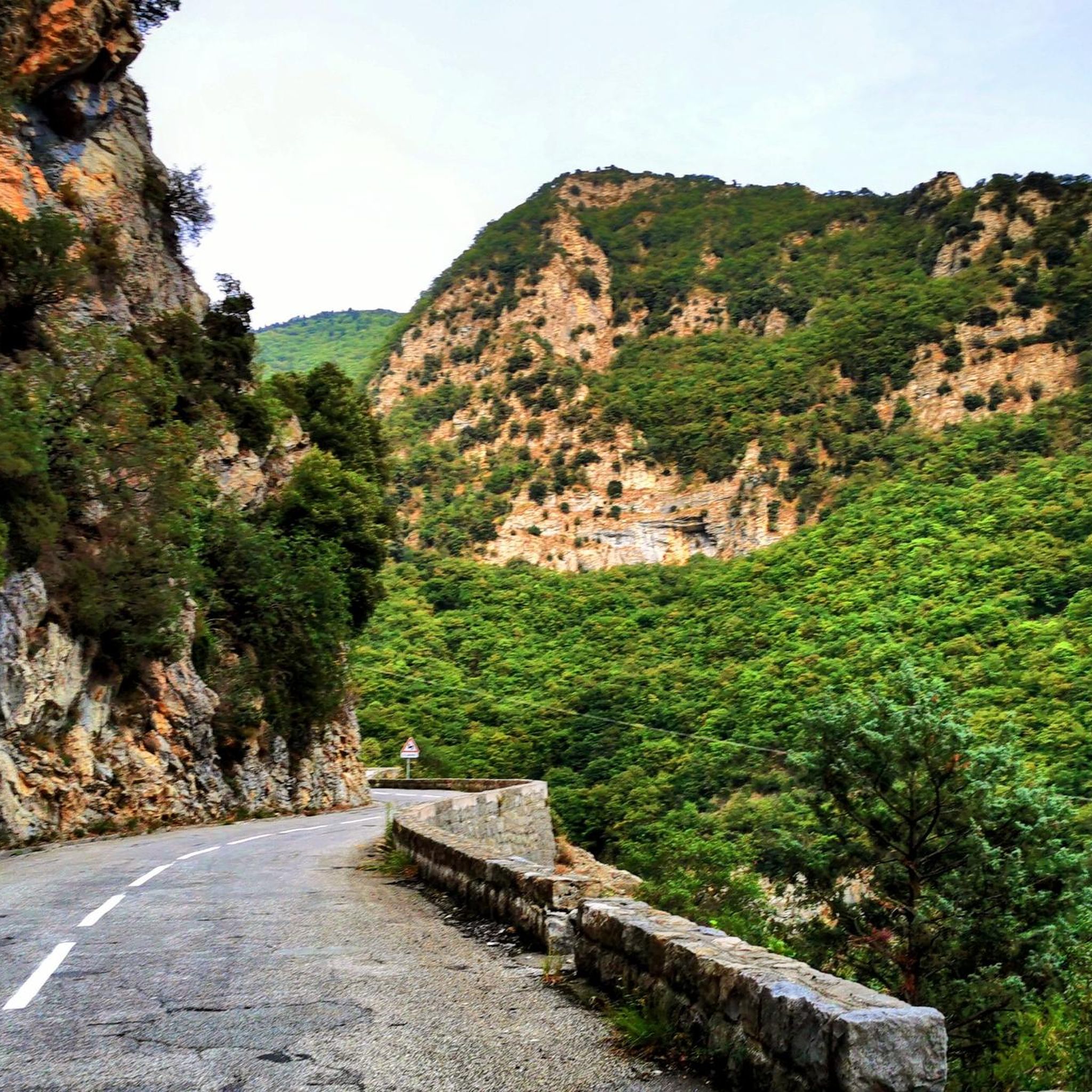
Road cycling routes around Moulinet are situated in the Alpes-Maritimes region of Provence-Alpes-Côte d'Azur, France, at an altitude of 800 meters. The area is characterized by challenging ascents and winding roads through surrounding mountains, offering significant elevation gains. Diverse forests of chestnut, oak, beech, and larch woodlands, along with the Bevera and Peira-Cava rivers, contribute to a verdant landscape. The region also serves as a gateway to Mercantour National Park and features the Authion Massif, the southernmost peak of the…
Last updated: October 16, 2026
5.0
(1)
54
riders
Moderate road ride. Good fitness required. Mostly well-paved surfaces and easy to ride.
54
riders
Moderate road ride. Good fitness required. Mostly well-paved surfaces and easy to ride.

5.0
(3)
43
riders
40.7km
02:28
1,090m
1,090m
Hard road ride. Very good fitness required. Mostly well-paved surfaces and easy to ride.
17
riders
67.5km
04:32
2,220m
2,220m
Hard road ride. Very good fitness required. Mostly well-paved surfaces and easy to ride.
33
riders
25.5km
01:39
860m
860m
Moderate road ride. Good fitness required. Mostly well-paved surfaces and easy to ride.
Get access to more routes and recommendations from other explorers.
Already have an account?
Our route recommendations are based on thousands of hikes, rides, and runs completed by other people on komoot.
Start today with a free account
Your next adventure awaits.




Tips from the Community

Refueling point to fill up before Turini
0
0
Small town accessible by train, a good starting point or stopover for a hike. Also has a campsite...
0
0

A stream under the street. You can also wash your face for example.
0
0

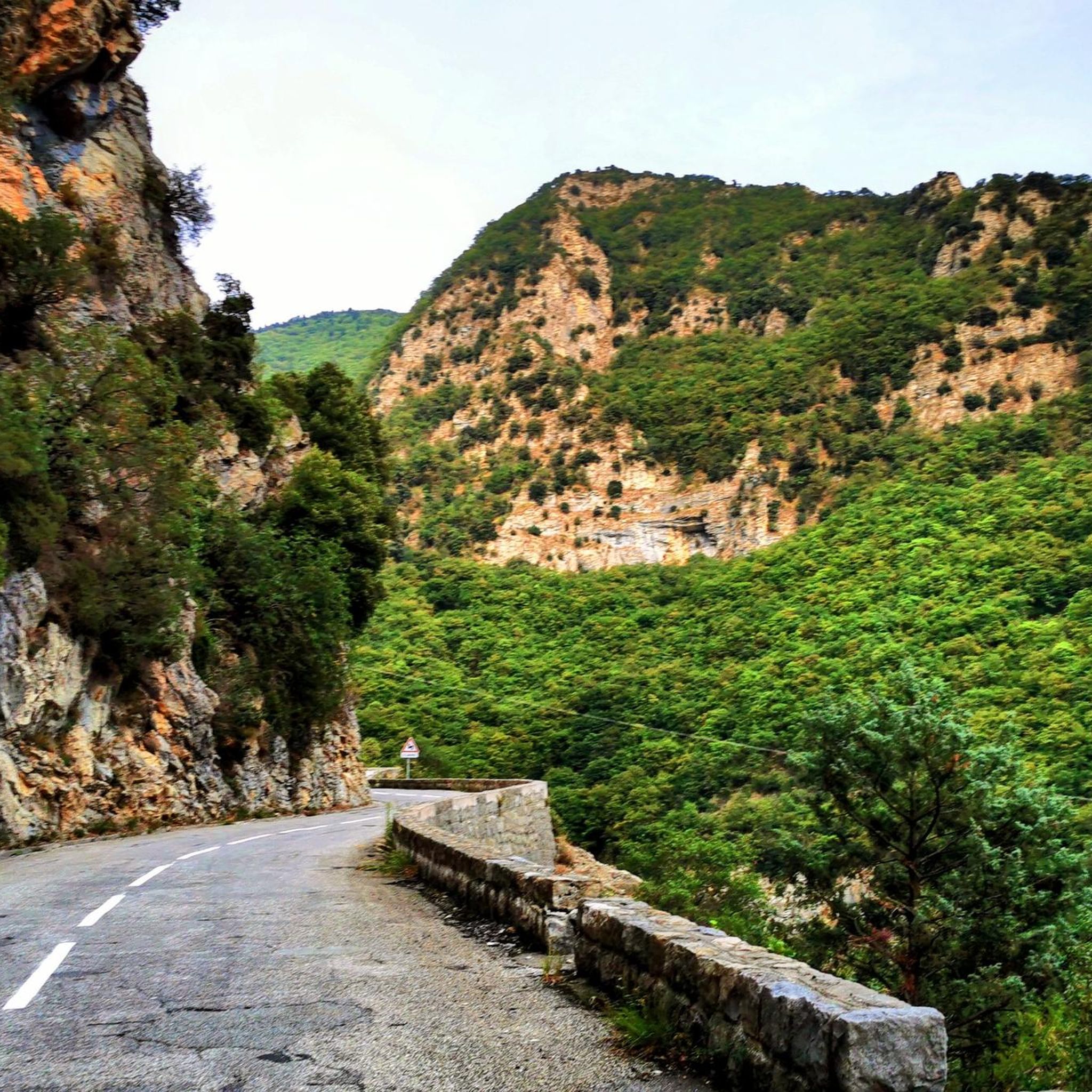
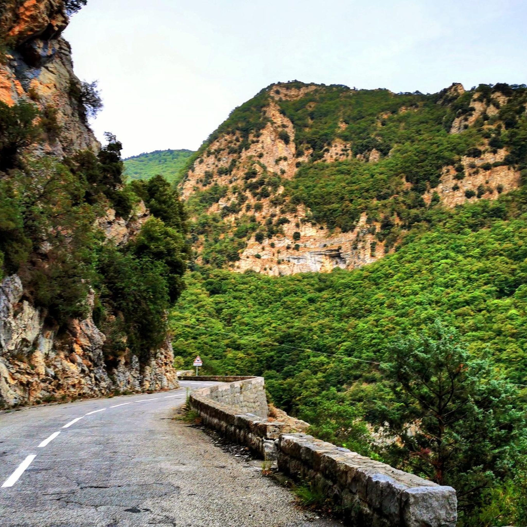
Corniche road. Magnificent views of the Mediterranean, Nice... At the Col du Farguet, views of the Mercantour. To reach the Col de Braus, gravel road accessible to classic electric bikes (not mountain bikes)
0
0

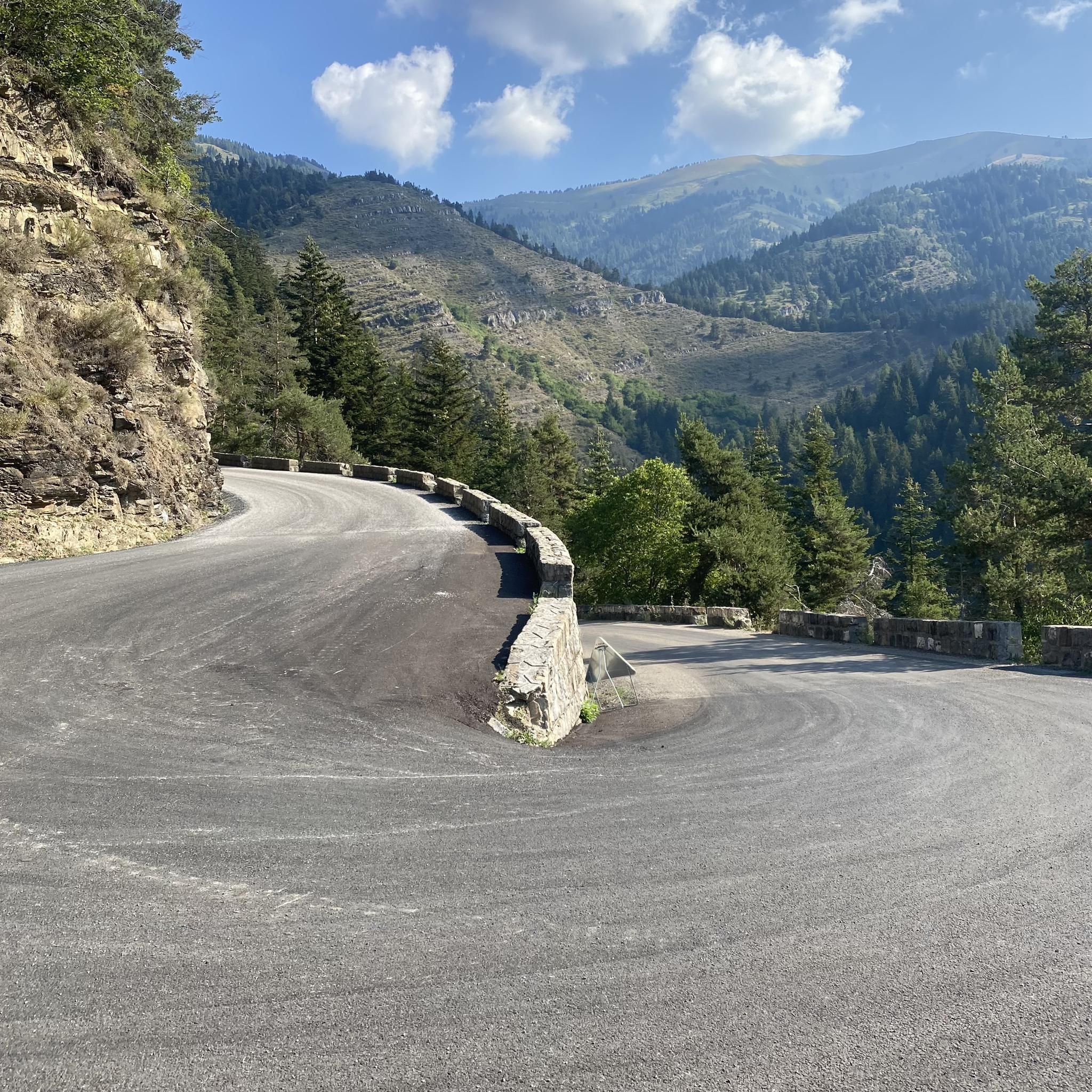
The Col de Turini is a mountain pass located in the southern French Alps. It connects Lantosque, in the Vésubie Valley, to Sospel, in the Bévéra Valley. It also provides access to the Paillon Valley and the towns of Escarène and Lucéram. Rising to an altitude of 1,604 meters, it is located near the summit of the Authion Massif. The pass lies between the communes of Moulinet and La Bollène-Vésubie. A hamlet is located at the pass, where three main roads converge. A fourth road leads to Camp d'Argent, where a ski resort is located, and beyond to the summit of Authion (Pointe des Trois-Communes).
0
0
An exceptional site, located between Sospel and Moulinet, on the Route des Grands Alpes. This sanctuary with its vertiginous staircase (listed as a Historic Monument in 1937) overlooks the Piaon Gorges in the Bévéra Valley.
0
0
The Sospel bridge is located on a major road linking Nice to Piedmont via the Roya valley and the Col de Tende.
0
0
Frequently Asked Questions
What kind of terrain can I expect on road cycling routes around Moulinet?
Road cycling around Moulinet is characterized by challenging ascents and winding mountain roads, offering significant elevation gains. The region is nestled at 800 meters altitude and encircled by mountains, providing a diverse landscape of chestnut, oak, beech, and larch woodlands, carved by the Bevera and Peira-Cava rivers. You'll find routes ranging from moderate to difficult, with 34 routes classified as difficult and 19 as moderate.
Are there any particularly challenging road cycling routes in the Moulinet area?
Yes, Moulinet is renowned for its challenging routes. The road leading to the Col de Turini is particularly famous, known for its winding nature and significant elevation. A highly recommended loop involves ascending the Col de Turini, descending into Sospel, and then climbing the Col de Braus, encompassing over 2,000 meters of elevation gain. One such challenging route is the Col de Turini – Our Lady of La Ménour loop from Granges du Lac, which covers over 76 km with nearly 2,500 meters of ascent.
What are some of the most scenic viewpoints or natural features along the road cycling routes?
The region offers breathtaking vistas. Along routes involving the Col de Turini, passing through Peïra-Cava provides a magnificent overlook with panoramic views of the mountains, valleys, and even the coastline. The Authion Massif, the southernmost peak of the Alps, offers a stunning 360° panoramic view stretching from the Mercantour Massif to the Mediterranean Sea. The village itself is a green oasis with diverse forests and rivers.
What is the best time of year for road cycling in Moulinet?
Moulinet offers cycling opportunities throughout the year, but conditions vary. During summer, it's advisable to ride in the early morning for cooler temperatures. In winter, the early afternoon is often warmest. The Authion Trail, accessible by bike, is typically open from May to November. Traffic can increase during peak tourist seasons, so planning your rides accordingly is recommended.
Are there any circular road cycling routes around Moulinet?
Yes, there are several circular routes available. For example, the Braus Pass – Lacets de Faustó et Furiùs loop from Sospel is a popular circular route covering 30.7 km. Another option is the Turini pass – Col de Turini loop from Col de Turini, a 40.7 km loop that takes you through the legendary Col de Turini.
What landmarks or historical sites can I see while cycling near Moulinet?
The area is rich in historical and natural landmarks. The Notre-Dame de la Menour Chapel is a prominent historical monument, uniquely perched between two valleys and reached via an impressive giant stairway. You can find it along routes like the Notre-Dame de la Ménour and Its Hairpin Bends highlight. The Authion Massif also holds historical significance with military remains. The charming village of Moulinet itself, with its steeply sloping stepped streets and vaulted passageways, is a picturesque sight.
What do other road cyclists enjoy most about road cycling in Moulinet?
The road cycling routes around Moulinet are highly rated by the komoot community, with an average score of 4.7 stars from over 100 reviews. Cyclists often praise the challenging ascents, the breathtaking views from mountain passes like Col de Turini and Col de Braus, and the immersive experience of cycling through diverse forests and picturesque villages.
Are there any easy road cycling routes suitable for beginners in Moulinet?
While Moulinet is known for its challenging terrain, there are a few easier options. Out of 55 total routes, 2 are classified as easy. These routes typically have less elevation gain and shorter distances, providing a good starting point for those new to road cycling in the mountains. It's always recommended to check the route details on komoot for specific difficulty and elevation profiles.
Can I access Mercantour National Park by bike from Moulinet?
Yes, Moulinet serves as a gateway to the superb environment of the Mercantour National Park. The region's road cycling network offers routes that provide access to the park, allowing you to explore its natural beauty. The Authion Trail, located within the park, is also accessible by bike during its open season from May to November.
What wildlife might I encounter while cycling in the Moulinet area?
The natural setting around Moulinet, with its diverse forests and proximity to Mercantour National Park, allows for sightings of various wildlife. It's not uncommon to see sheep, goats, and even cows grazing in the fields, which is a relatively rare sight for the South of France. Keep an eye out for local birdlife and other forest creatures as you cycle through the verdant landscapes.
Are there any specific passes or climbs that are a must-do for road cyclists in Moulinet?
Absolutely. The Col de Turini is a legendary route, famous among cyclists and recognized as a stage of the Monte Carlo Rally. Another significant climb is the Col de Braus. Many challenging and rewarding routes incorporate these passes, offering an unforgettable experience with stunning views. For example, the Sospel village and the Old Bridge (Pont-Vieux) – Sospel Old Bridge loop from Moulinet includes substantial climbing.
Most popular routes around Moulinet
Most popular attractions around Moulinet

Get inspired with the komoot mobile app


Explore more
Browse the best Road cycling routes in other regions.
