The best running trails around Belvédère
4.1
(13)
1,911
runners
105
runs
Jogging routes around Belvédère offer varied terrain, from waterfront paths with scenic views to more challenging hilly loops. The region features diverse landscapes, including areas with panoramic views of distant city skylines and natural reserves. Many routes traverse well-maintained paths within parks, providing a mix of open green spaces and shaded areas. Elevated positions in some parts of Belvédère offer expansive vistas of the surrounding environment.
Best jogging routes around Belvédère
- The most popular jogging route is Refuge de Nice…
Last updated: August 9, 2026
46
runners
12.8km
02:30
900m
900m
Hard run. Very good fitness required. Sure-footedness, sturdy shoes and alpine experience required.
46
runners
40.5km
06:24
2,340m
2,350m
Hard run. Very good fitness required. Sure-footedness, sturdy shoes and alpine experience required.

Sign up for free
33
runners
27.5km
04:53
2,060m
2,060m
Hard run. Very good fitness required. Mostly paved surfaces. Suitable for all skill levels.
5.0
(1)
41
runners
24.0km
03:48
1,390m
1,390m
Hard run. Very good fitness required. Sure-footedness, sturdy shoes and alpine experience required.
35
runners
13.0km
02:00
720m
720m
Hard run. Very good fitness required. Mostly paved surfaces. Suitable for all skill levels.
Get access to more routes and recommendations from other explorers.
Sign up for free
Already have an account?
Our route recommendations are based on thousands of hikes, rides, and runs completed by other people on komoot.
Start today with a free account
Your next adventure awaits.
Login or Signup
Popular around Belvédère



Tips from the Community

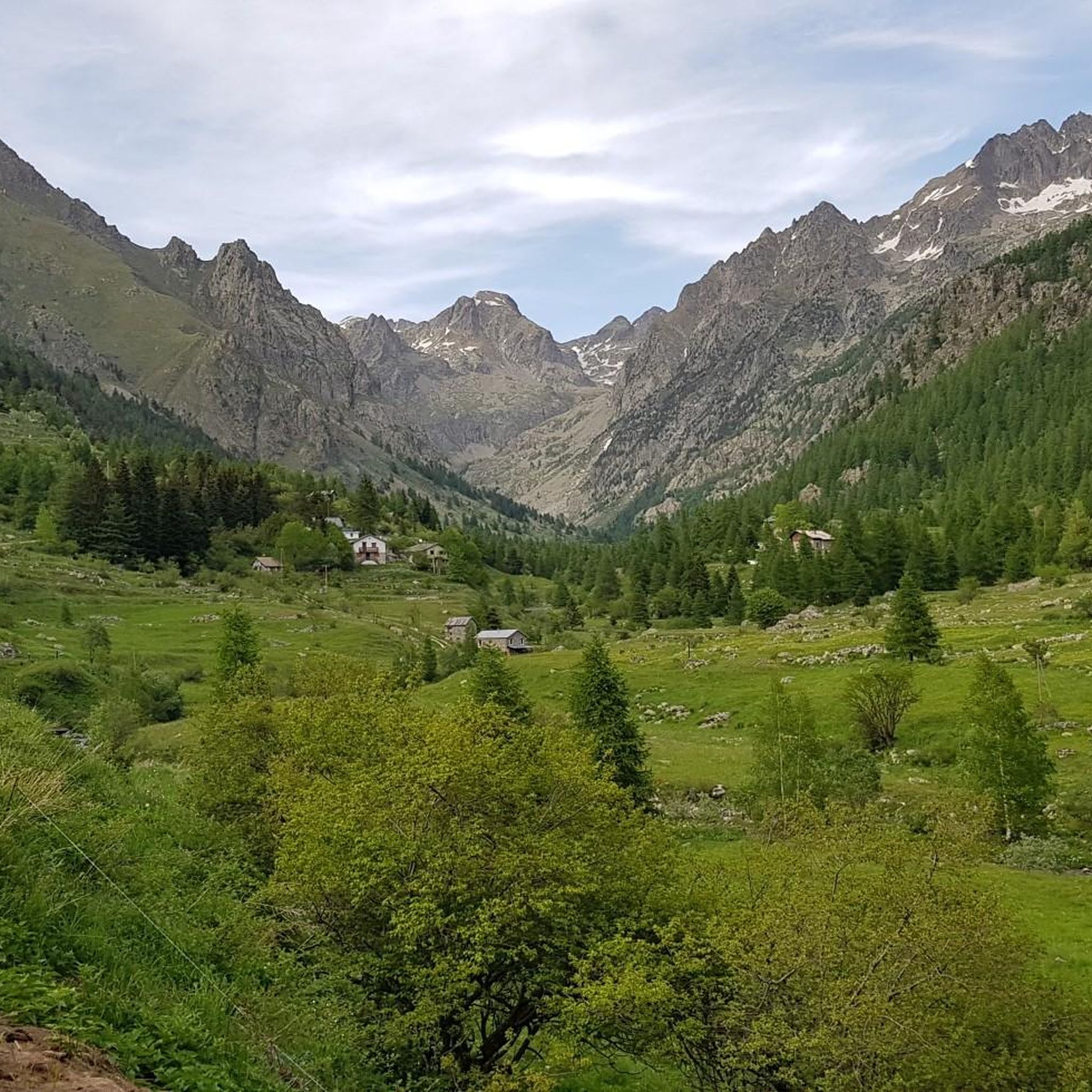
The Nice refuge is located at 2,232 meters above sea level, in the town of Bélvédère, Alpes-Maritimes, in the Mercantour National Park.
0
0

This car park is located at the entrance to the Vallée des Merveilles in Mercantour. To get there, simply follow the signs indicating the hike. It is one of the most beautiful sites in the region!
1
0

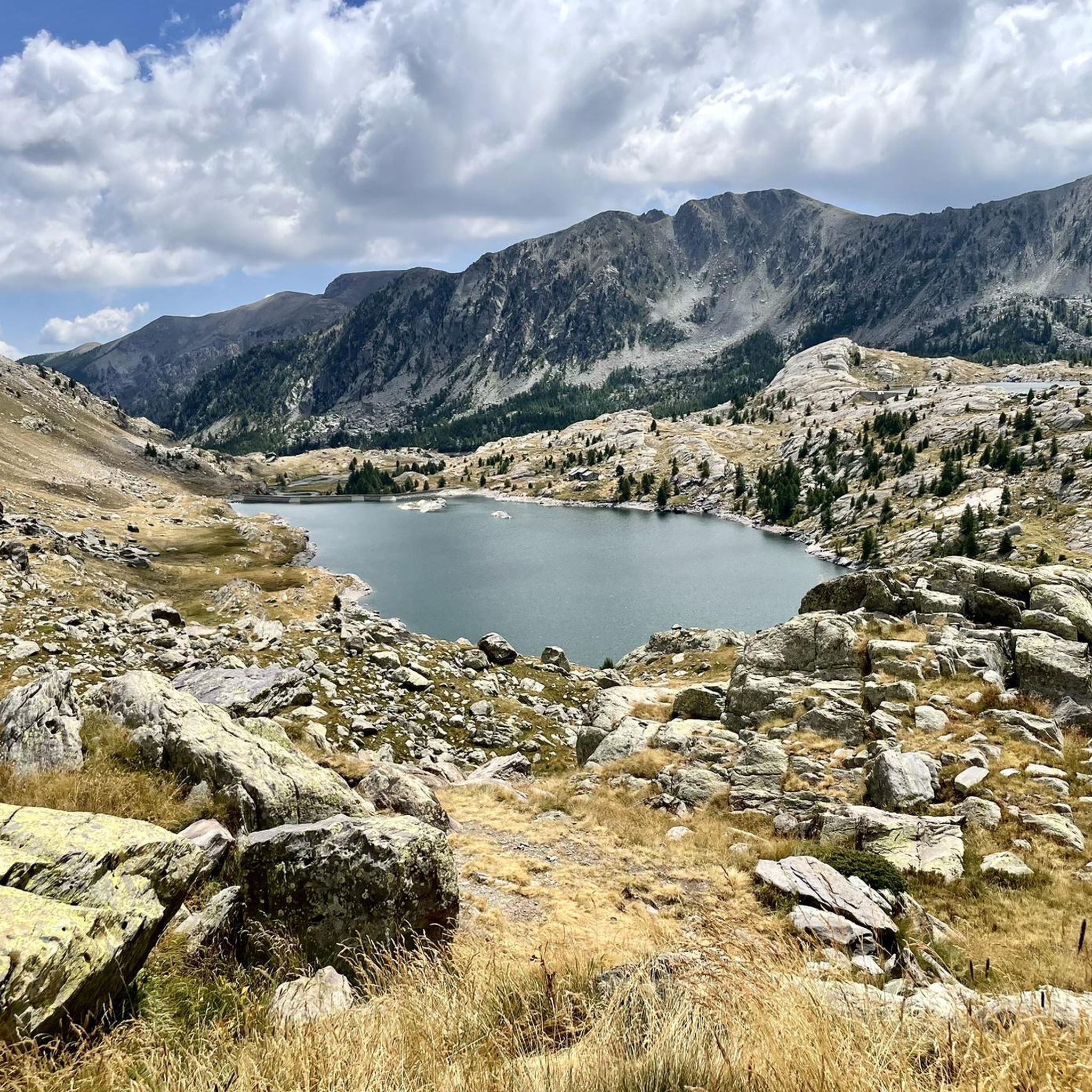
Nestled on a rocky promontory overlooking Lac de la Fous, Nice's bucolic refuge is immersed in a spectacular setting. If you pay attention you can observe ibexes and chamois in the surroundings of the chalet. More information on the refuge here: www.refugedenice.ffcam.fr.
1
0
Nestled at 2,275 meters at the foot of magnificent mountains, this marvelous mountain lake offers an enchanted interlude to visitors who go there.
1
0

The Nice refuge is guarded in summer from the first of June to the end of September, and remains open in winter but is unguarded during this period. It is managed by the French Alpine Club of Nice. The natural site surrounding the chalet is particularly suitable for observing the large fauna of the Mercantour National Park. The ibex and chamois are indeed not fearful here. Reservations and payments are made online by going to the website of the French Federation of Alpine and Mountain Clubs. The link is as follows: https://refugedenice.ffcam.fr/FR_home.html
1
2

You can take a 3-minute hot shower here with special coins. There is a special bike to generate electricity for the smartphone. There are also two sockets on the first floor, which is much more convenient if you don't have a power bank with you.
0
1
The village of Lantosque offers the opportunity to enjoy a different kind of sport. Professionals in the discipline will take you on a more intimate discovery of the Vésubie Gorges, via ferrata. There are beautiful footbridges and passages, and for the more adventurous, an impressive zip line. The route is quite technical. For more information, visit the following website: https://via-ferrata-lantosque.fr/ In the village center, you'll find a bakery, grocery store, restaurants, and cafes.
1
0

A nice place to continue on Mont Clapier
0
0
Frequently Asked Questions
What kind of terrain can I expect on running routes in Belvédère?
Jogging routes around Belvédère offer a diverse range of terrain. You can find waterfront paths with scenic views, challenging hilly loops, and well-maintained paths within lush parks. Some areas provide panoramic views of distant city skylines, while others feature natural reserves and mountainous ascents, often leading to scenic lake views.
Are there any easy or beginner-friendly jogging routes in Belvédère?
The jogging routes in Belvédère are primarily designed for experienced runners, with 9 out of 11 routes classified as difficult. There are 2 routes of moderate difficulty, but no easy or beginner-friendly options are currently listed in this guide. The region is characterized by challenging mountain ascents.
What do other runners say about the jogging trails in Belvédère?
The running trails in Belvédère are highly rated by the komoot community, with an average score of 3.9 stars from 9 reviews. Over 1300 runners have used komoot to explore the varied and challenging terrain, often praising the scenic lake views and mountainous landscapes.
Are there any circular running routes in Belvédère?
Yes, several circular running routes are available. For example, you can try the Refuge de Nice loop from Parking du Countet, a 6.5-mile (10.5 km) trail, or the longer Refuge de Nice loop from Lac de Saint-Grat, which covers 9.9 miles (16.0 km).
What kind of natural features or landmarks can I see along the running routes?
Belvédère's running routes offer access to various natural monuments and scenic spots. You might encounter beautiful lakes like Lago della Rovina or Lac de Trécolpas. For those interested in historical sites, the Petroglyphs of the Vallée des Merveilles are also nearby. Additionally, some routes lead to summits such as Cime du Diable, offering expansive views.
Are there any places to stop or rest along the longer running trails?
Yes, for longer or more challenging runs, there are several huts and refuges in the vicinity that can serve as resting points. These include Rifugio Genova-Figari, Merveilles Refuge, and Valmasque Refuge. Always check their operating hours before planning your run.
What are some of the more challenging running routes in Belvédère?
For runners seeking a significant challenge, the Montjoya Peak – Cime de la Vallette loop from Belvédère is a demanding 27.5 km (17.1 miles) route with over 2000 meters of elevation gain. Another difficult option is the Upper Long Lake loop from Parking du Countet, spanning 13.1 km (8.1 miles) with over 1100 meters of ascent.
Is Belvédère suitable for family-friendly jogging or running with children?
Given that most routes in Belvédère are classified as difficult and involve significant elevation gain, the area is generally more suited for experienced runners rather than family-friendly jogging with young children. There are no easy routes listed in this guide that would typically be ideal for families.
What are the typical distances of running routes in Belvédère?
The running routes in Belvédère vary in length, catering to different endurance levels. Distances range from approximately 6.5 miles (10.5 km) for routes like the Refuge de Nice loop from Parking du Countet, up to 17.1 miles (27.5 km) for the challenging Montjoya Peak – Cime de la Vallette loop from Belvédère.
Are there any running routes with waterfront views in Belvédère?
Yes, depending on the specific Belvédère location, some areas offer attractive waterfront running opportunities. For instance, Belvedere on the Tiburon Peninsula in California features a scenic 4-mile out-and-back route along the waterfront, providing views of the San Francisco skyline and the Golden Gate Bridge.
What is the best time of year to go running in Belvédère?
The ideal time for running in Belvédère can vary by location. For instance, Belvedere Park in Los Angeles benefits from a Mediterranean climate, allowing for pleasant outdoor activities throughout the year. For mountainous routes, seasonal considerations like snow and ice in winter would be important, making spring through autumn generally more suitable.
Are there any urban park running options in Belvédère?
Yes, if you're looking for an urban park setting, Belvedere Park in Los Angeles offers 31.5 acres of lush greenery with well-maintained paths. Similarly, Belvedere Park in Tunis, as the largest urban oasis, provides extensive shaded pathways and diverse flora, making it a refreshing retreat for runners.
Most popular routes around Belvédère
Most popular attractions around Belvédère

Get inspired with the komoot mobile app


Explore more
Browse the best Running Trails & Routes in other regions.
