The best walks and hikes around Racquinghem
4.6
(926)
5,311
hikers
392
hikes
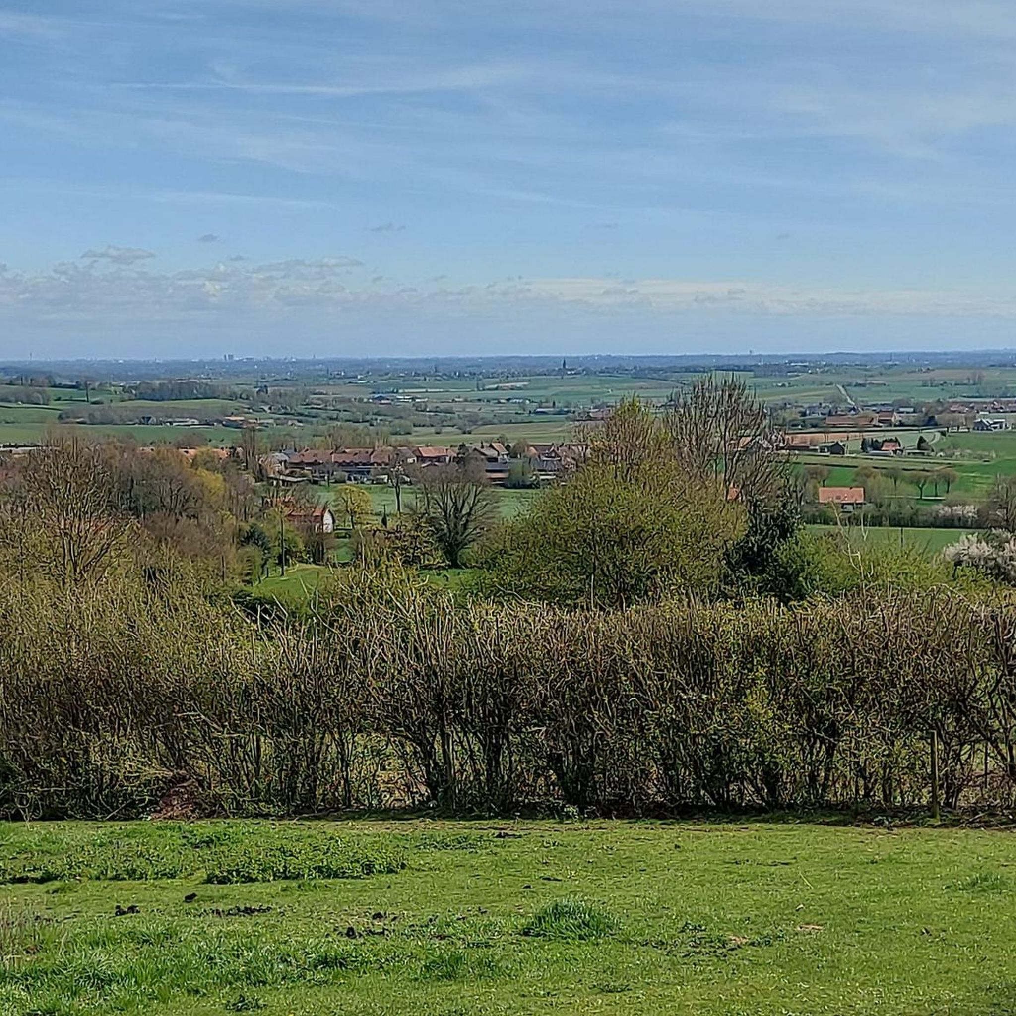
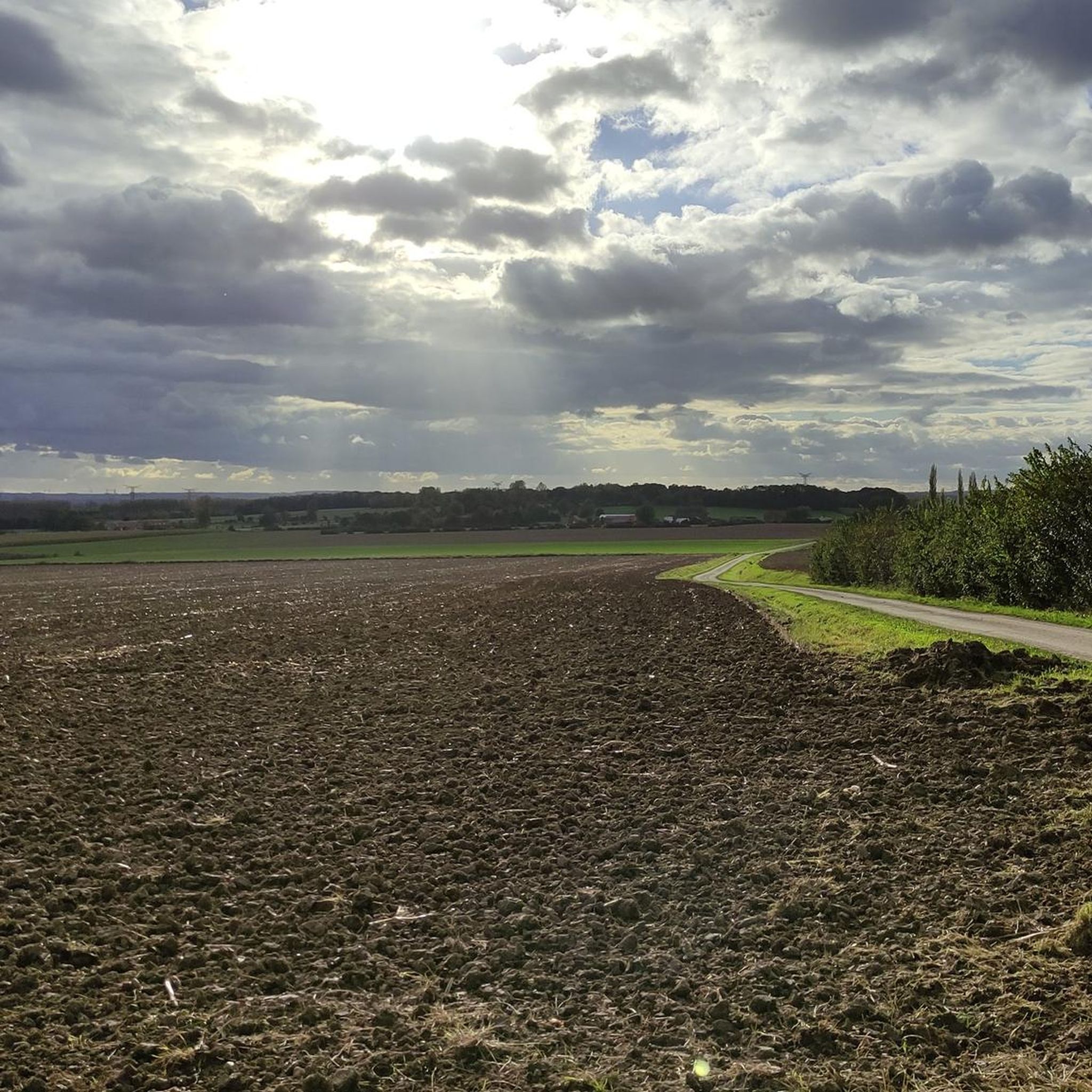
Hiking around Racquinghem offers diverse landscapes, including open plains and the Canal de Neuffossé, which forms a notable waterway. The region features natural reserves such as the Plateau des Landes and the "Bruyères" area, known for Atlantic heathlands and varied flora. Elevations are generally low, with the highest points reaching around 65-66 meters, providing gentle ascents and descents. The terrain is characterized by a mix of agricultural land and natural habitats.
Best hiking trails around Racquinghem
- The most popular hiking…
Last updated: July 2, 2026
4.8
(4)
21
hikers
Moderate hike. Good fitness required. Easily-accessible paths. Suitable for all skill levels.
5.0
(4)
17
hikers
26.9km
07:06
240m
240m
Hard hike. Very good fitness required. Easily-accessible paths. Suitable for all skill levels.

Sign up for free
4.5
(2)
13
hikers
11.6km
03:00
70m
70m
Moderate hike. Good fitness required. Easily-accessible paths. Suitable for all skill levels.
5.0
(1)
12
hikers
11.6km
03:01
70m
70m
Moderate hike. Good fitness required. Easily-accessible paths. Suitable for all skill levels.
5.0
(2)
9
hikers
6.05km
01:33
20m
20m
Easy hike. Great for any fitness level. Easily-accessible paths. Suitable for all skill levels.
Get access to more routes and recommendations from other explorers.
Sign up for free
Already have an account?
Our route recommendations are based on thousands of hikes, rides, and runs completed by other people on komoot.
Start today with a free account
Your next adventure awaits.
Login or Signup

Tips from the Community

walk in the moor
0
0
and its plant life
0
0
the Dome
0
0
the Dome
0
0

Why not explore La Coupole d'Helfaut-Wizernes, a secret underground bunker built by the Nazis in 1943. It was a former base for storing and launching V2 rockets, the first ballistic missiles in history. Visiting the site allows you to learn about rocket technology, the history of the war and the impact on the region. You can also have fun at the 3D planetarium and temporary exhibitions.
4
0

Located in the heart of a heritage village between the towns of Aire-sur-la-Lys and Saint-Omer, the Saint-Michel de Roquetoire church is a surprise behind the roofs of the village. The origins of this small town are very old, a health resort has existed on this already inhabited land since ancient times. Water is very important in the history of this city, as a legend indicates: during the reign of Saint Louis, a great drought that impoverished the soil, the priest, to put an end to it, struck the ground with a statue of Saint Michael. A spring originates from this place that has never dried up. Read the full history at https://openchurches.eu/fr/edifices/saint-michel-roquetoire-ndf
1
0
Frequently Asked Questions
How many hiking trails are available around Racquinghem?
There are over 360 hiking routes available around Racquinghem, catering to various skill levels. This includes more than 160 easy routes, nearly 200 moderate trails, and a few more challenging options.
What is the typical terrain like for hiking in Racquinghem?
The terrain around Racquinghem is characterized by diverse landscapes, including open plains, agricultural land, and the serene Canal de Neuffossé. You'll also find natural reserves like the Plateau des Landes and the "Bruyères" area, known for Atlantic heathlands. Elevations are generally low, with gentle ascents and descents, making most trails accessible.
Are there any family-friendly hiking routes in Racquinghem?
Yes, Racquinghem offers many family-friendly options. For an easy and accessible exploration of the local countryside, consider the Hiking loop from Roquetoire, which is 3.8 miles (6.1 km) long and typically takes about 1 hour 30 minutes.
Can I find circular hiking routes in the area?
Absolutely. Many trails in Racquinghem are circular, allowing you to start and end at the same point. A popular moderate circular route is the Church of Racquimghem – Small chapel in Racquimghem loop from Racquinghem, which is 6.4 miles (10.2 km) and takes approximately 2 hours 40 minutes.
What natural features can I expect to see while hiking in Racquinghem?
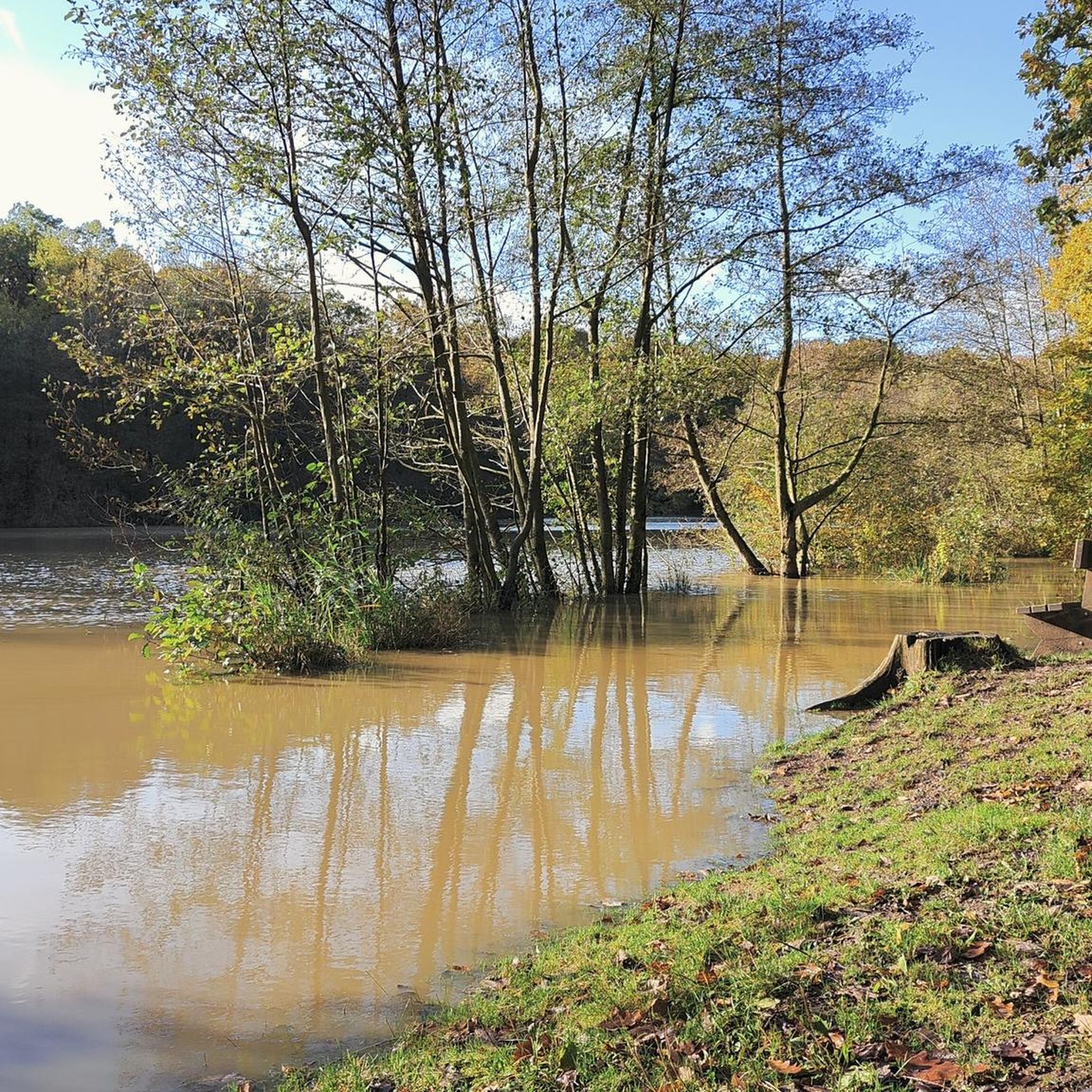
Hikers can explore the tranquil Canal de Neuffossé, which often features towpaths for walking. The region also boasts the Plateau des Landes Regional Nature Reserve, a refuge for rare species, and the "Bruyères" area, known for its Atlantic heathlands and as a stopover for migrating birds. These areas offer opportunities for wildlife spotting and enjoying diverse flora.
Are there any interesting landmarks or attractions near the hiking trails?
Yes, there are several points of interest. You might encounter historical sites like 14 centuries of hard work or natural spots such as Harchelle Lake. The Saint-Omer Public Garden is also a notable highlight in the vicinity.
What do other hikers enjoy most about the trails in Racquinghem?
The trails in Racquinghem are highly rated by the komoot community, with an average score of 4.6 stars from nearly 800 reviews. Hikers often praise the diverse scenery, the peaceful atmosphere along the Canal de Neuffossé, and the well-maintained paths that make for enjoyable walks through plains and natural reserves.
Are there any dog-friendly hiking trails in Racquinghem?
Many of the trails in Racquinghem are suitable for dogs, especially those through open plains and along the canal towpaths. It's always recommended to keep your dog on a leash, especially when passing through agricultural areas or near wildlife reserves, and to check local signage for any specific restrictions.
Is there a notable long-distance or specific named trail in Racquinghem?
Yes, the "Sentier Hugo" is a well-known trail in the area. It's a 10.51 km (approximately 6.5 miles) loop with moderate difficulty, typically taking around 3 hours and 10 minutes to complete. It often starts near the Racquinghem church and is generally well-marked. You can find more details about it on the local tourism site: Sentier Hugo Racquinghem.
Where can I find parking for hiking trails in Racquinghem?
Parking is generally available near the starting points of many trails, particularly in the village centers or close to local amenities. For example, routes often begin near the Racquinghem church, where parking facilities are typically present. Always look for designated parking areas to ensure convenience and respect for local residents.
Are there any challenging hikes in Racquinghem?
While Racquinghem is known for its generally gentle terrain, there are a few routes classified as difficult, though they still feature relatively low elevation gains. These might involve longer distances or more varied surfaces. For example, the Hiking loop from Blaringhem is a moderate 7.2 miles (11.6 km) path that offers varied scenery and takes around 3 hours.
Can I hike along the Canal de Neuffossé?
Yes, the Canal de Neuffossé is an integral part of the hiking experience in Racquinghem. Many routes run alongside it, utilizing the towpaths. These sections offer engaging views of the waterway and are generally flat, providing pleasant walking conditions.
Most popular attractions around Racquinghem

Get inspired with the komoot mobile app


Explore more
Browse the best Hikes in other regions.
