The best walks and hikes around Laventie
4.4
(346)
2,786
hikers
286
hikes
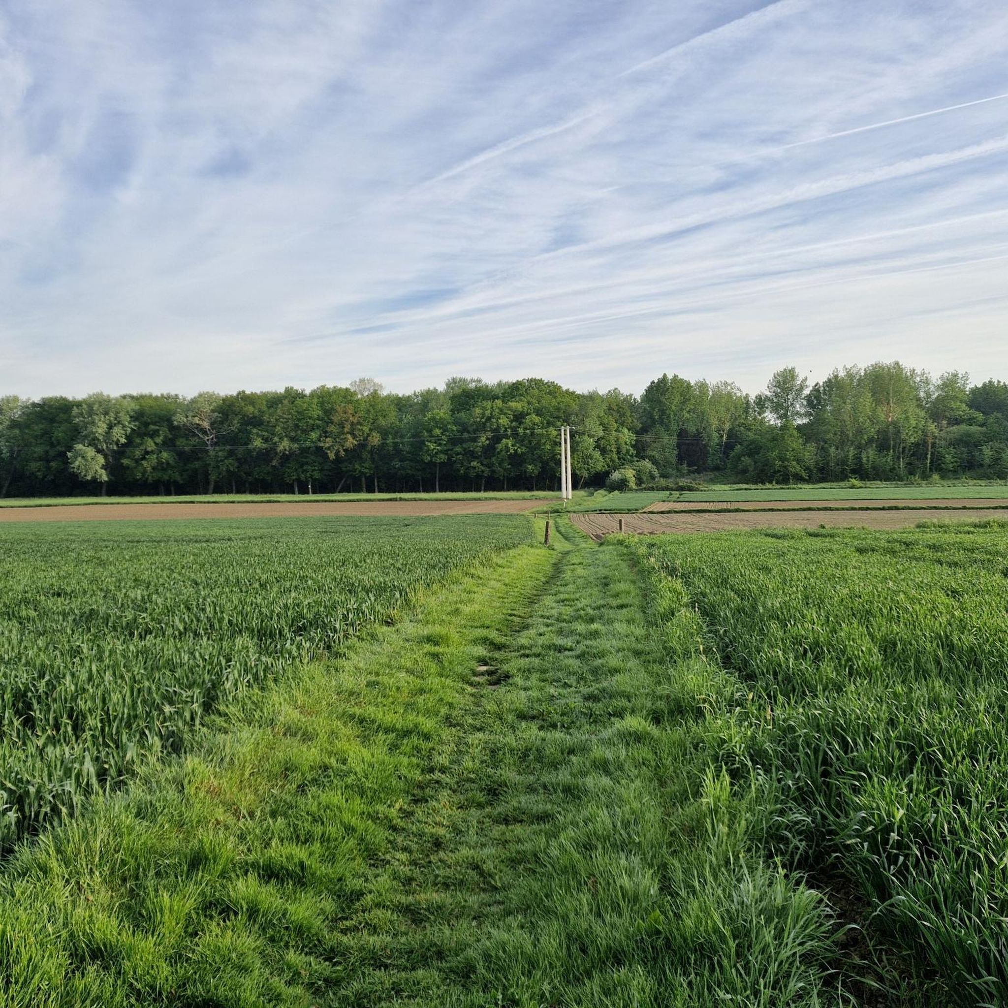
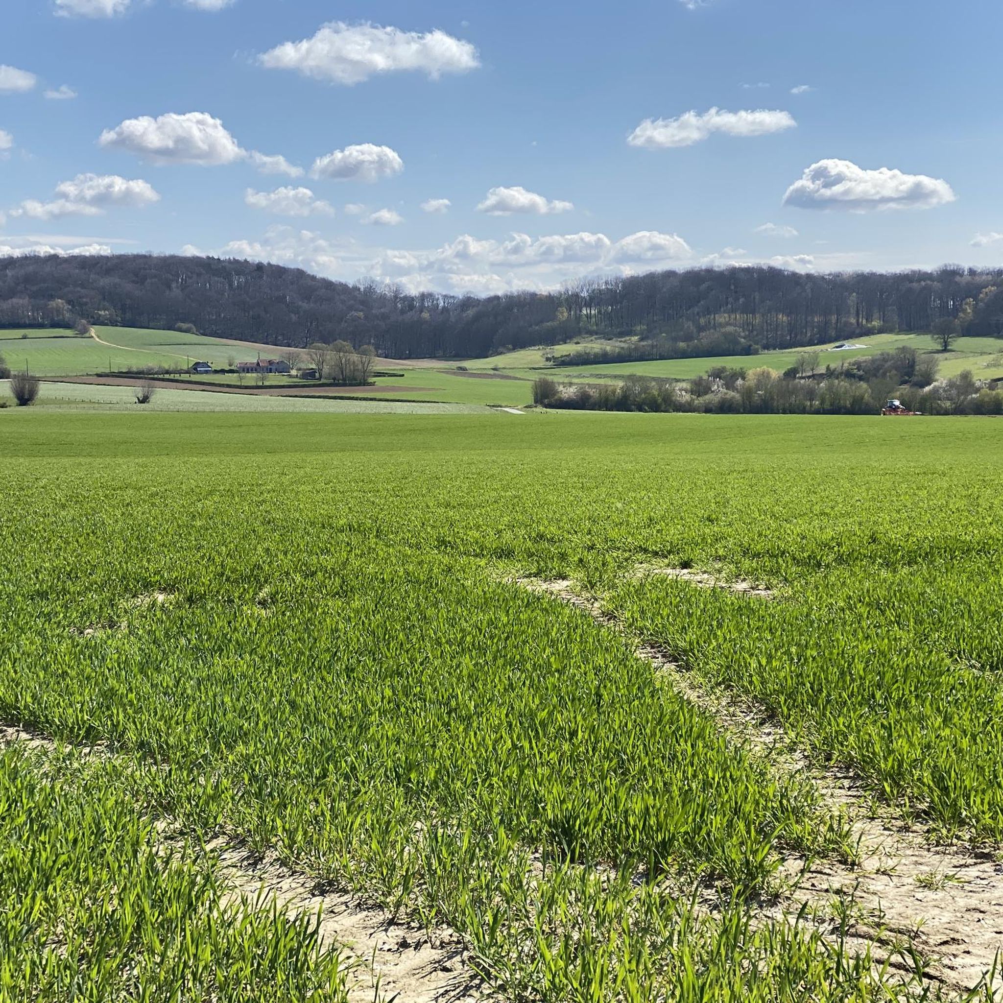
Hiking around Laventie, located in the Pas-de-Calais department of French Flanders, offers exploration across a predominantly flat agricultural landscape. The region is characterized by open fields, a network of drainage canals, and the presence of the Lys River, providing gentle terrain for outdoor activities. This environment is ideal for relaxed walks and cycling, with paths often following riverbanks and rural routes.
Best hiking trails around Laventie
- The most popular hiking route is Chemin de Halage – Town Hall Garden loop…
Last updated: October 6, 2026
4.5
(8)
34
hikers
6.90km
01:44
10m
10m
Easy hike. Great for any fitness level. Easily-accessible paths. Suitable for all skill levels.
4.3
(3)
21
hikers
8.93km
02:17
30m
30m
Moderate hike. Good fitness required. Easily-accessible paths. Suitable for all skill levels.

5.0
(4)
23
hikers
11.0km
02:48
40m
40m
Moderate hike. Good fitness required. Easily-accessible paths. Suitable for all skill levels.
12
hikers
6.84km
01:43
10m
10m
Easy hike. Great for any fitness level. Easily-accessible paths. Suitable for all skill levels.
11
hikers
5.35km
01:21
10m
10m
Easy hike. Great for any fitness level. Easily-accessible paths. Suitable for all skill levels.
Get access to more routes and recommendations from other explorers.
Already have an account?
Our route recommendations are based on thousands of hikes, rides, and runs completed by other people on komoot.
Start today with a free account
Your next adventure awaits.



Tips from the Community

La Gorgue, the gateway to Flanders
0
0

well laid out but watch out for dog droppings😏😏
0
0

A beautifully remarkable tree that bears the name 'Tilleul du Jonquoy'
0
0

The town hall with belfry was rebuilt after the First World War in Flemish neo-Renaissance style. In 2023, a number of parts were demolished and modernized.
1
0

Beautiful picnic area with charging point along the Leie in the municipality of La Gorgue, the only municipality in the Dunkirk district south of the Leie.
0
0

Frequently Asked Questions
How many hiking trails are there in Laventie?
There are over 250 hiking routes around Laventie, offering a wide variety of options for all skill levels. You'll find a mix of easy riverside strolls and moderate loops through the countryside.
Are there easy hiking trails suitable for beginners or families in Laventie?
Yes, Laventie offers many easy hiking trails, with over 130 routes suitable for beginners and families. A great option is the Chemin de Halage – Town Hall Garden loop from Estaires, an easy 4.3-mile (6.9 km) trail that follows a historic towpath along the Lys River, offering serene views.
What kind of landscapes can I expect to see while hiking in Laventie?
Hiking in Laventie will take you through predominantly flat agricultural landscapes characteristic of French Flanders. You'll encounter open fields, a network of drainage canals, and the tranquil Lys River, providing a peaceful rural environment. The area is known for its charming countryside and accessible waterways.
What do other hikers enjoy the most about hiking in Laventie?
The hiking routes in Laventie are highly rated by the komoot community, with an average score of 4.4 stars from over 260 reviews. Hikers often praise the peaceful agricultural landscapes, the accessible waterways, and the charming rural villages that define the area's trails.
Are there circular hiking routes available in Laventie?
Yes, many of the trails around Laventie are circular, allowing you to start and end at the same point. For example, the Hiking loop from Aubers is a moderate 5.7-mile (9.1 km) path that winds through rural landscapes and connects neighboring villages.
What are some interesting landmarks or attractions near the hiking trails?
While hiking around Laventie, you can explore several points of interest. Consider visiting the Australian Memorial Park Fromelles, or the historic Le Trou Aid Post Cemetery. These sites offer a glimpse into the region's history and can be incorporated into your hiking plans.
Can I bring my dog on hikes around Laventie?
Many trails in the Laventie area are suitable for dogs, especially those that traverse open fields and rural paths. However, it's always recommended to keep your dog on a leash, especially when passing through agricultural areas or near livestock, and to check local regulations for specific nature reserves if you plan to visit them.
What kind of wildlife can I expect to see while hiking in Laventie?
Given the agricultural and waterway-rich landscape, you might spot various bird species, especially along the Lys River and drainage canals. The nearby Les Prés du Hem, for instance, includes an ornithological reserve, making it an excellent spot for birdwatching. You may also encounter common rural wildlife.
What is the best time of year to go hiking in Laventie?
The spring and summer months generally offer the most pleasant weather for hiking in Laventie, with milder temperatures and lush green landscapes. Autumn also provides beautiful scenery as the foliage changes. While winter hikes are possible, be prepared for colder, potentially wetter conditions on the flat terrain.
Are there any hiking routes that pass by cafes or places to eat?
Many of the hiking routes around Laventie pass through or near charming villages. While specific cafes on the trails are not guaranteed, planning your route to include a stop in a village like Aubers or Estaires will likely offer opportunities to find local eateries or bakeries for refreshments.
Are there any lesser-known or 'hidden gem' hiking trails in Laventie?
Beyond the most popular routes, the region offers many local loops that provide a quieter experience. Consider the At the ponds. loop from Aubers, a 6.8-mile (11.0 km) trail leading through rural landscapes and past local ponds, which offers a serene exploration away from more frequented paths.
Where can I find parking for hiking trails in Laventie?
Parking is generally available in the villages where many of the trails begin, such as Laventie itself, Aubers, or Estaires. Look for public parking areas near town centers or trailheads. It's advisable to check specific starting points for detailed parking information before your hike.
Most popular attractions around Laventie

Get inspired with the komoot mobile app


Explore more
Browse the best Hikes in other regions.
