The best running trails around Mazirat
4.7
(16)
1,052
runners
115
runs
Jogging around Mazirat offers diverse routes through the peaceful rural commune in central France. The region is characterized by green countryside, forests, and varying elevations, with hills and valleys ranging from 259 to 495 meters above sea level. Waterways such as the Saint-Martin stream and the Cher river, along with numerous ponds, provide scenic backdrops for running. These natural features create a varied terrain suitable for different jogging preferences.
Best jogging routes around Mazirat
- The most popular jogging route is…
Last updated: July 1, 2026
91
runners
Hard run. Very good fitness required. Mostly accessible paths. Some sure footedness required.
23
runners
Hard run. Very good fitness required. Mostly accessible paths. Some sure footedness required.

Sign up for free
5
runners
12.6km
01:28
270m
270m
Moderate run. Good fitness required. Mostly paved surfaces. Suitable for all skill levels.
4
runners
8.52km
00:55
140m
140m
Moderate run. Good fitness required. Mostly paved surfaces. Suitable for all skill levels.
9
runners
22.9km
02:44
590m
590m
Hard run. Very good fitness required. Mostly paved surfaces. Suitable for all skill levels.
Get access to more routes and recommendations from other explorers.
Sign up for free
Already have an account?
Our route recommendations are based on thousands of hikes, rides, and runs completed by other people on komoot.
Start today with a free account
Your next adventure awaits.
Login or Signup



Tips from the Community

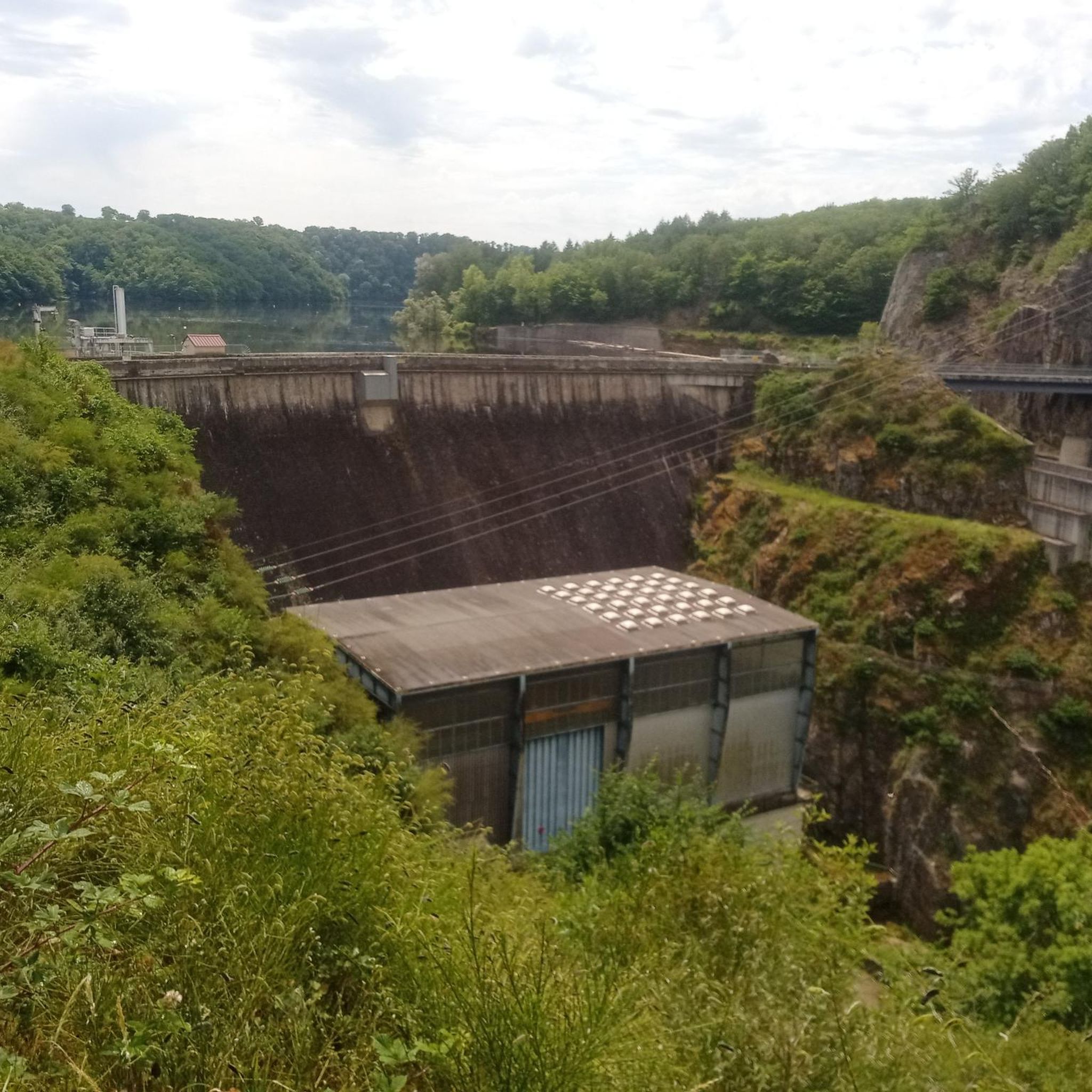
The hike can no longer be done as a circular tour. The dam across which the river is to be crossed is interrupted. So we had to go back the same way. it was a beautiful hike nonetheless
0
0

Very beautiful hike. A bit technical in places, especially on the rocks, but it's very doable. Very beautiful views, magnificent.
0
0

pretty thermal town of Creuse.
0
0
Hiking can see not at all marked if we do not know the area we can quickly get lost but very beautiful landscape
0
0

Great ride, but big descent and obviously big climb, be well equipped.
1
0

Evaux-les-Bains, with this beautiful mural, is advertising itself. It is, as its name indicates, a spa village. Hydrotherapy has been practiced here since Roman times, but reached its peak at the beginning of the 20th century. There is a lot of art deco in Evaux, located in the heart of Combraille. Art lovers from this period, have fun discovering the many visible works, particularly in the layout of certain bourgeois houses.
1
0


Walkway over a river with beautiful views.
1
0
Frequently Asked Questions
How many running routes are available around Mazirat?
There are over 100 diverse running routes around Mazirat, catering to various preferences and fitness levels. These trails explore the region's green countryside, forests, and scenic waterways.
Are there easy jogging routes suitable for beginners or families in Mazirat?
Yes, Mazirat offers several easy jogging routes. While the majority are moderate, there are 8 routes specifically categorized as easy, perfect for a relaxed run or a family outing. These paths often traverse peaceful fields and quiet country roads.
Can I find challenging running trails with significant elevation in the Mazirat area?
Absolutely. For those seeking a more strenuous workout, Mazirat and its surroundings feature 21 difficult running routes. These often include the varied elevations of the region, which range from 259 to 495 meters above sea level. A notable challenging route is the Suspension bridge over the Cher River – Along the Cher loop from Saint-Genest, which explores the dramatic Gorges du Cher.
What kind of natural features can I expect to see while running in Mazirat?
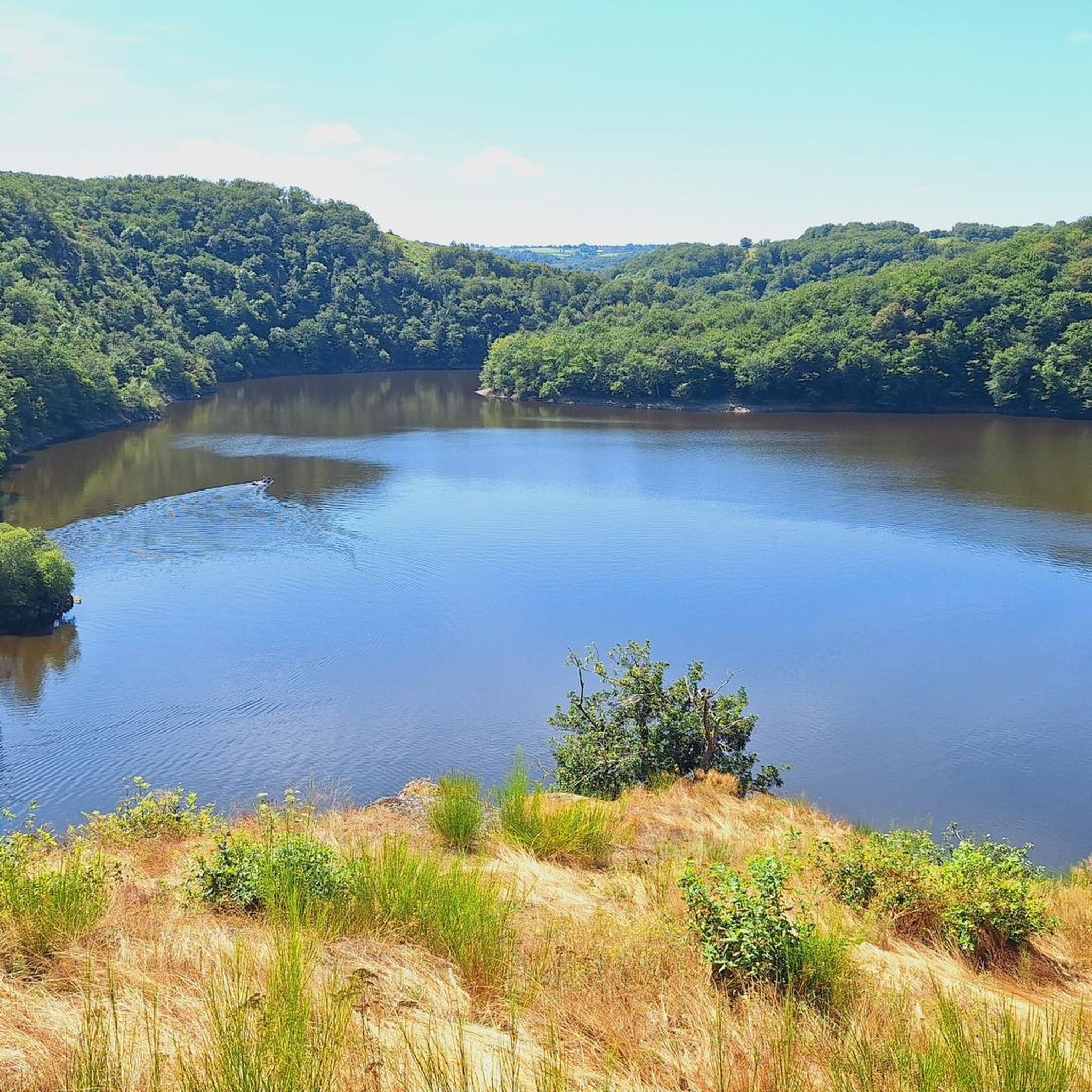
Jogging in Mazirat offers a rich tapestry of natural features. You'll encounter green countryside, extensive forests, and a mix of hills and valleys. Waterways like the Saint-Martin stream and the Cher river are prominent, along with numerous ponds. The Gorges du Cher, with its rocky cliffs and lush vegetation, is a particularly scenic area, and you might even spot a magnificent waterfall there.
Are there any circular jogging routes around Mazirat?
Yes, many of the running routes around Mazirat are circular, providing convenient starting and ending points. For instance, the Running loop from Saint-Genest is a popular circular trail that takes you through the varied rural landscape.
What do other runners enjoy most about the trails in Mazirat?
The running trails in Mazirat are highly rated by the komoot community, with an average score of 4.8 stars from more than 15 reviews. Runners often praise the peaceful rural setting, the diverse natural landscapes including forests and rivers, and the variety of routes available for different skill levels.
Are there any specific landmarks or points of interest along the running routes?
Yes, several points of interest can be found near or along the running routes. You might pass by historical sites like the Hôpital de la Charité, or natural attractions such as the Cournauron pond. The iconic Suspension bridge over the Cher River is also a notable landmark, offering impressive views of the river and surrounding cliffs.
Are the running trails in Mazirat suitable for dogs?
While specific dog-friendly designations for each trail are not always listed, the rural and natural character of Mazirat, with its extensive forests and open countryside, generally makes it a welcoming area for running with dogs. It's always advisable to keep your dog on a leash, especially near livestock or in protected natural areas, and to carry waste bags.
What is the longest running route available in the Mazirat region?
One of the longest and most challenging routes is the Suspension bridge over the Cher River – Bear Castle loop from Sainte-Thérence. This difficult path spans 21.6 miles (34.7 km) and offers extensive views of the surrounding green countryside and forests, typically taking around 4 hours and 12 minutes to complete.
Are there any running routes that pass through or near the Gorges du Cher?
Yes, the Gorges du Cher is a prominent feature in the region and offers some of the most visually rewarding running experiences. The Suspension bridge over the Cher River – Along the Cher loop from Saint-Genest is an excellent example, exploring the rocky cliffs, luxuriant vegetation, and lively waters of the Gorges.
Can I find urban jogging paths with historical sights near Mazirat?
While Mazirat itself is a small rural commune, the nearby town of Évaux-les-Bains, known for its Roman-era thermal springs and Art Deco architecture, offers interesting urban jogging paths with historical sights. You can explore routes like the Evaux-les-Bains Mural loop from Évaux-les-Bains, which passes by the Evaux-les-Bains Mural.
Are there any running routes that offer views of ponds or lakes?
Yes, the region around Mazirat is dotted with ponds and waterways, providing scenic backdrops for your run. The Cournauron pond is one such feature that can be found near some of the local trails, offering a tranquil setting.
Most popular attractions around Mazirat

Get inspired with the komoot mobile app


Explore more
Browse the best Running Trails & Routes in other regions.
