The best running trails around Saint-Fiel
4.5
(47)
1,872
runners
143
runs
Jogging routes around Saint-Fiel traverse the diverse landscapes of the Creuse department in central France. The region is characterized by river valleys, such as the Creuse, and a mix of forested and hilly terrain. Joggers can expect varied topography, including moderate inclines and shaded paths. This area provides numerous opportunities for outdoor activities, with trails often following riverbanks and old railway lines.
Best jogging routes around Saint-Fiel
- The most popular jogging route is Puy de Gaudy – Wolves of Chabrières…
Last updated: June 27, 2026
34
runners
13.9km
01:44
300m
300m
Hard run. Very good fitness required. Mostly paved surfaces. Suitable for all skill levels.
3.0
(1)
28
runners
8.50km
01:03
190m
190m
Moderate run. Good fitness required. Mostly paved surfaces. Suitable for all skill levels.

Sign up for free
4
runners
11.8km
01:14
90m
90m
Moderate run. Good fitness required. Mostly paved surfaces. Suitable for all skill levels.
4
runners
6.77km
00:42
50m
50m
Moderate run. Good fitness required. Mostly paved surfaces. Suitable for all skill levels.
3
runners
5.90km
00:40
50m
50m
Moderate run. Good fitness required. Mostly paved surfaces. Suitable for all skill levels.
Get access to more routes and recommendations from other explorers.
Sign up for free
Already have an account?
Our route recommendations are based on thousands of hikes, rides, and runs completed by other people on komoot.
Start today with a free account
Your next adventure awaits.
Login or Signup
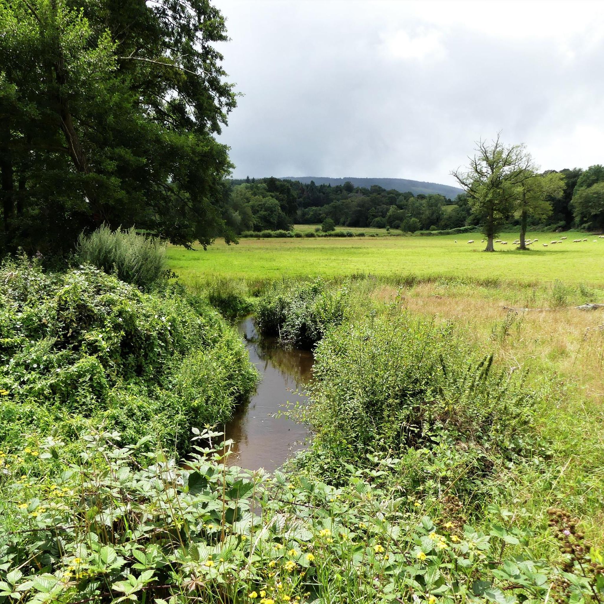
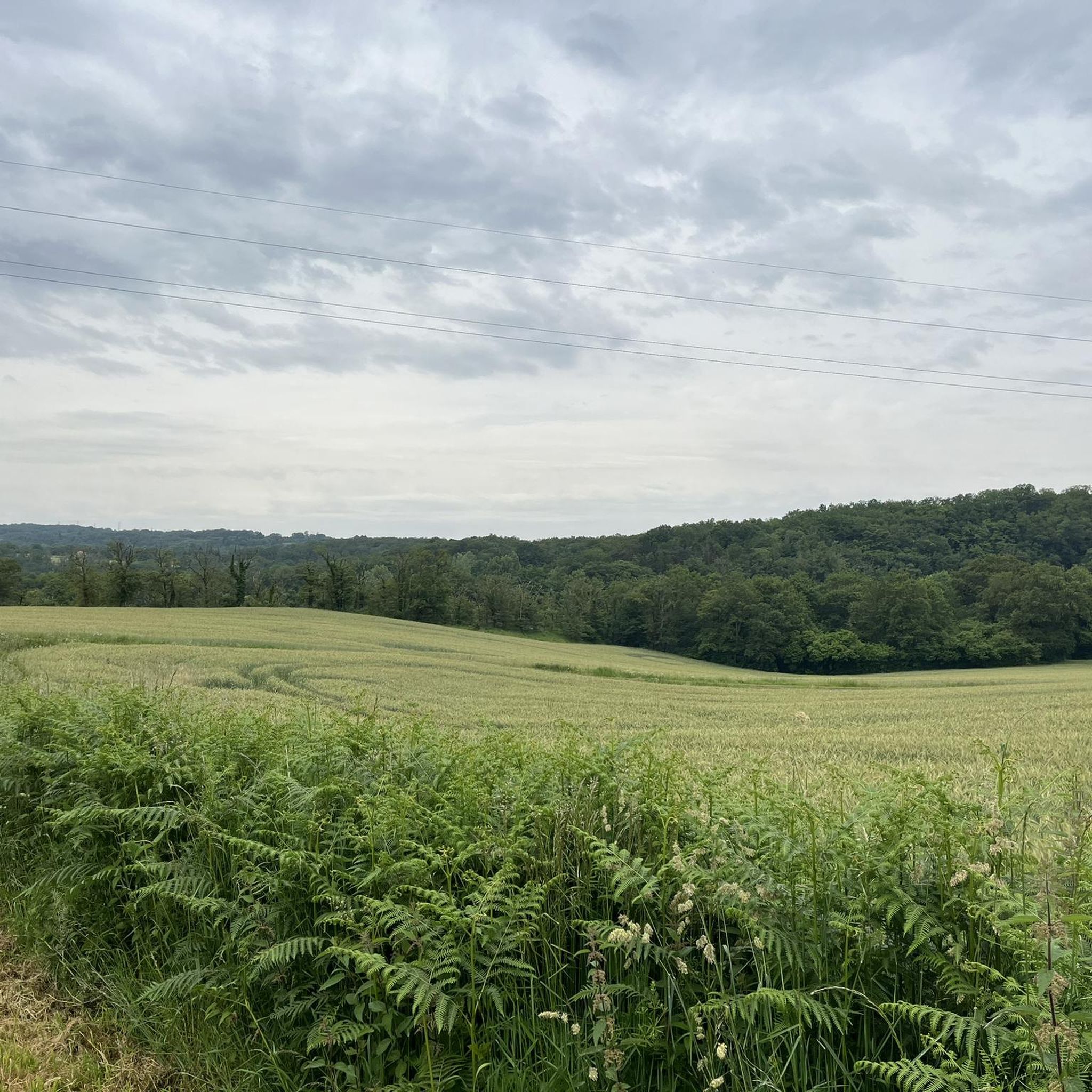
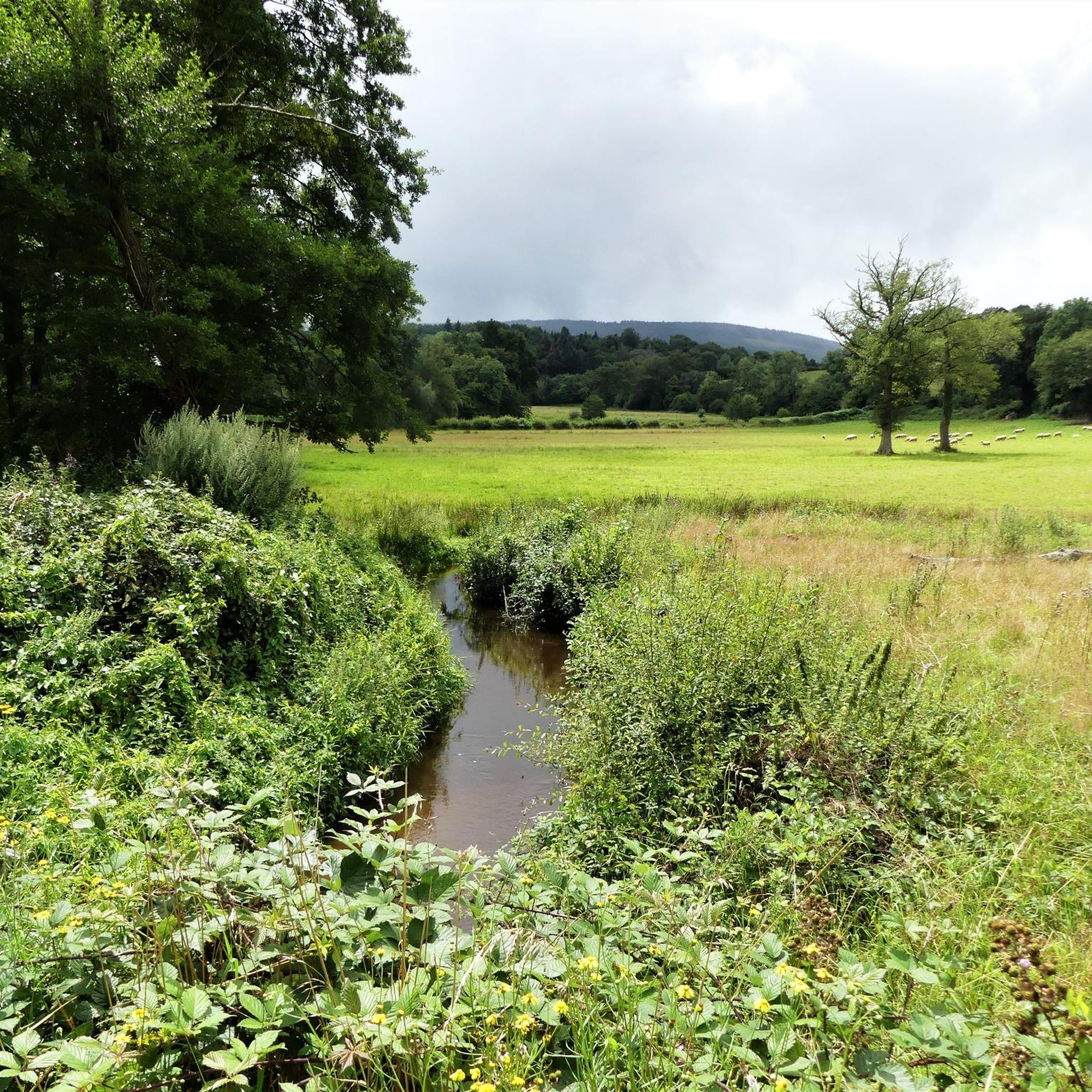


Tips from the Community

The viaduct was built from 1902 to 1904 and was used for the passage of freight trains (until 1952) and passenger trains (until 1939). 202 meters long and 20 meters high, it is made up of granite stones extracted from the nearby Villegondry quarry.
1
0
This 15th century castle has been included on the complementary list of historic monuments since 1926. It was initially a military tower. It was only developed for habitation in the 19th century.
1
0

My route took me to the bottom of the village but I do not regret having passed through the village with this beautiful point of view
0
0

Perched on its rocky promontory at an altitude of 342 meters, the town of Glénic overlooks the Creuse and offers a remarkable view of the valley. Don't hesitate to pass by and stop here.
0
0
Frequently Asked Questions
How many running routes are available around Saint-Fiel?
There are over 140 running routes in and around Saint-Fiel, offering a wide variety of options for all skill levels. These include 11 easy routes, 81 moderate routes, and 50 difficult routes, ensuring there's a suitable path for every runner.
What kind of terrain can I expect on the jogging trails in Saint-Fiel?
The jogging trails around Saint-Fiel feature diverse terrain, characteristic of the Creuse department. You can expect a mix of river landscapes, often following the banks of the Creuse, as well as forested areas and hilly terrain. Many routes include moderate inclines and shaded paths, with some even traversing old railway lines and passing under or over viaducts.
Are there any scenic viewpoints along the running routes in Saint-Fiel?
Yes, several routes offer excellent panoramic views. For instance, the Puy de Gaudy – Wolves of Chabrières loop from Guéret provides stunning vistas from Puy du Gaudy. The broader Creuse region also features natural sites like the 'granite chaos' rock formations, which offer expansive views.
What do other runners enjoy most about the trails in Saint-Fiel?
The running routes in Saint-Fiel are highly rated by the komoot community, with an average score of 4.6 stars from over 50 reviews. Runners often praise the varied terrain, the beautiful river landscapes, and the unique experience of trails that incorporate features like viaducts and old railway lines.
Are there any family-friendly running routes in the Saint-Fiel area?
While specific 'family-friendly' routes aren't explicitly detailed, the region offers 11 easy routes that would be suitable for families looking for a less strenuous run or walk. The diverse network of marked trails in Creuse includes options for various abilities, so checking the difficulty ratings on komoot tours can help you find appropriate paths.
Can I bring my dog on the jogging routes around Saint-Fiel?
The Creuse department is generally welcoming to outdoor activities, and many trails are suitable for dogs. However, it's always recommended to check specific route details or local signage for any restrictions, especially in nature reserves or protected areas. Always keep your dog under control and clean up after them.
Are there any routes that pass by water features like waterfalls or ponds?
Yes, the region is rich in water features. The Courtille Pond – Les Pierres Civieres loop from Guéret winds around Courtille Pond, offering scenic water views. Additionally, the broader area features the beautiful Mouline waterfall, where you can relax to the sound of rushing water, which might be accessible via some longer routes or nearby trails.
Are there circular running routes available in Saint-Fiel?
Yes, many of the running routes around Saint-Fiel are designed as loops, offering circular paths that bring you back to your starting point. Examples include the View of the Glénic viaduct loop from Glénic and the Puy de Gaudy – Wolves of Chabrières loop from Guéret, providing convenient options for your run.
What is the best time of year to go jogging in Saint-Fiel?
Saint-Fiel, nestled in central France, offers pleasant conditions for jogging across multiple seasons. Spring and autumn generally provide mild temperatures and beautiful scenery with changing foliage. Summer can be warm, but many routes offer shaded paths through forests. Winter jogging is also possible, though some trails might be muddy or require appropriate gear.
Are there any historical or natural landmarks to explore near the running trails?
Absolutely. Besides the scenic views from Puy du Gaudy and the tranquil Courtille Pond, you can also discover unique natural monuments like Les Pierres Civieres. The region's trails often lead through areas with rich natural beauty and interesting geological formations.
Is public transport available to access the jogging routes in Saint-Fiel?
While Saint-Fiel is a commune in a rural setting, public transport options might be limited directly to trailheads. It's advisable to check local bus schedules or consider driving to access the starting points of many routes. Guéret, a larger town nearby, may offer more public transport connections from which you can then drive or cycle to the trails.
Are there parking facilities available near the running trailheads?
Yes, many popular running routes and trailheads in the Saint-Fiel area, especially those starting from towns like Guéret or Glénic, typically have designated parking areas. It's always a good idea to check the specific route details on komoot for information regarding parking availability at the starting point of your chosen run.
Most popular routes around Saint-Fiel
Most popular attractions around Saint-Fiel

Get inspired with the komoot mobile app


Explore more
Browse the best Running Trails & Routes in other regions.
