The best walks and hikes around Richerenches
4.5
(541)
2,507
hikers
163
hikes
Hiking around Richerenches offers access to the diverse landscapes of the Comtat Venaissin, characterized by picturesque countryside, extensive vineyards, olive groves, and truffle oak trees. The region is encircled by four small rivers, contributing to a tranquil environment. Trails often traverse gentle, rolling terrain, providing varied scenery for walkers. This area provides a mix of rural charm and natural beauty suitable for outdoor exploration.
Best hiking trails around Richerenches
- The most popular hiking route is Colonzelle Church – View of…
Last updated: June 25, 2026
4.5
(11)
57
hikers
6.41km
01:40
50m
50m
Easy hike. Great for any fitness level. Easily-accessible paths. Suitable for all skill levels.
4.0
(6)
17
hikers
6.27km
01:36
20m
20m
Easy hike. Great for any fitness level. Easily-accessible paths. Suitable for all skill levels.

Sign up for free
4.0
(4)
29
hikers
12.1km
03:12
110m
110m
Moderate hike. Good fitness required. Easily-accessible paths. Suitable for all skill levels.
4.6
(13)
22
hikers
8.96km
02:22
80m
80m
Moderate hike. Good fitness required. Easily-accessible paths. Suitable for all skill levels.
3.5
(2)
10
hikers
9.78km
02:41
160m
160m
Moderate hike. Good fitness required. Easily-accessible paths. Suitable for all skill levels.
Get access to more routes and recommendations from other explorers.
Sign up for free
Already have an account?
Our route recommendations are based on thousands of hikes, rides, and runs completed by other people on komoot.
Start today with a free account
Your next adventure awaits.
Login or Signup

Tips from the Community

Unique, a simply magnificent view not to be missed when passing through the town! The view of the Tour de Chamaret from this route suggests a visit to the tower. Many events take place within the colossal walls of this feudal fortress; once a keep, today the lively heart of its town... The perfect little addition to this route, made entirely for History lovers.
1
0

Simple village church in Colonzelle.
2
0

Tower tour in Chamaret highly recommended
0
1

Chamaret and its Tower, Village perched on the hillside
0
0

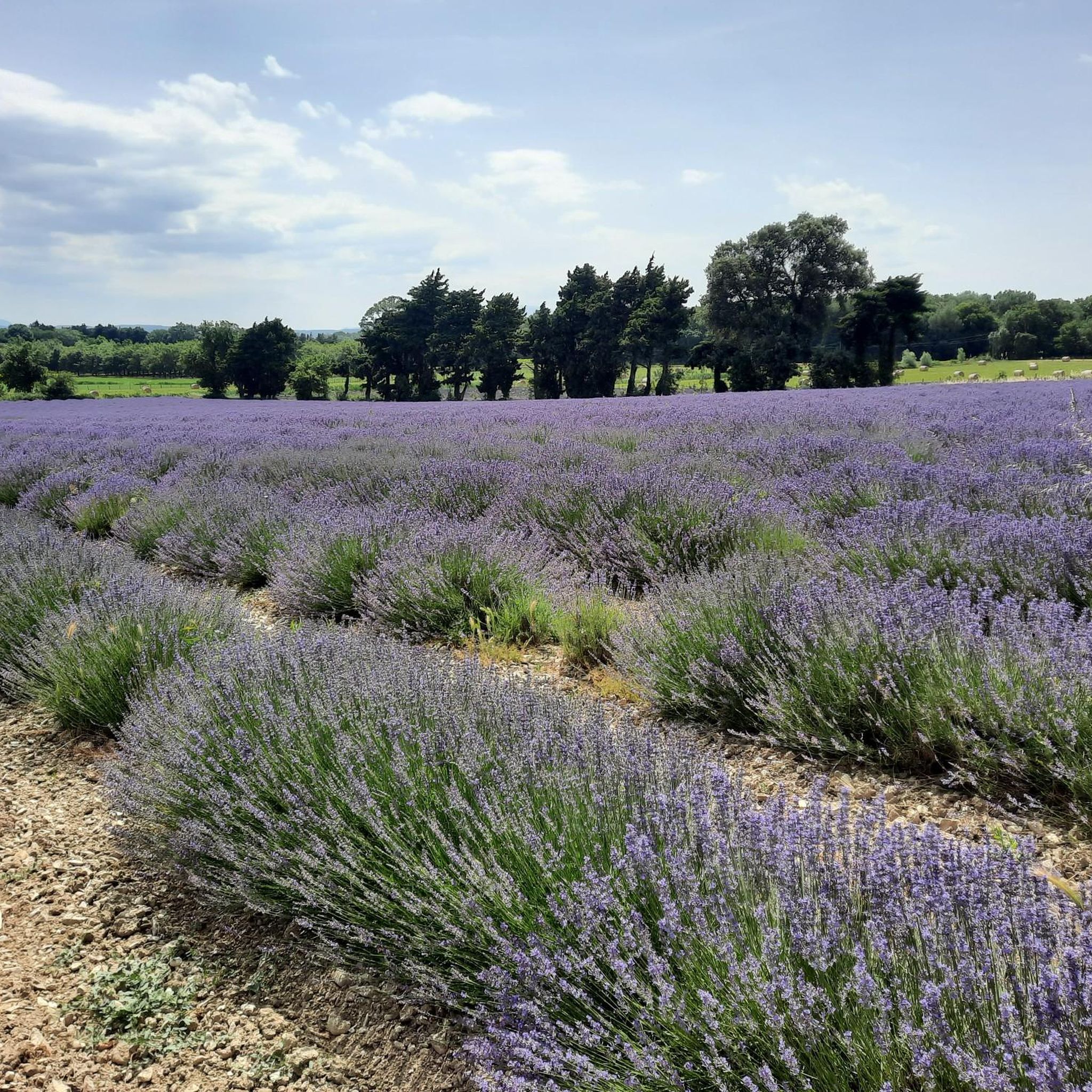
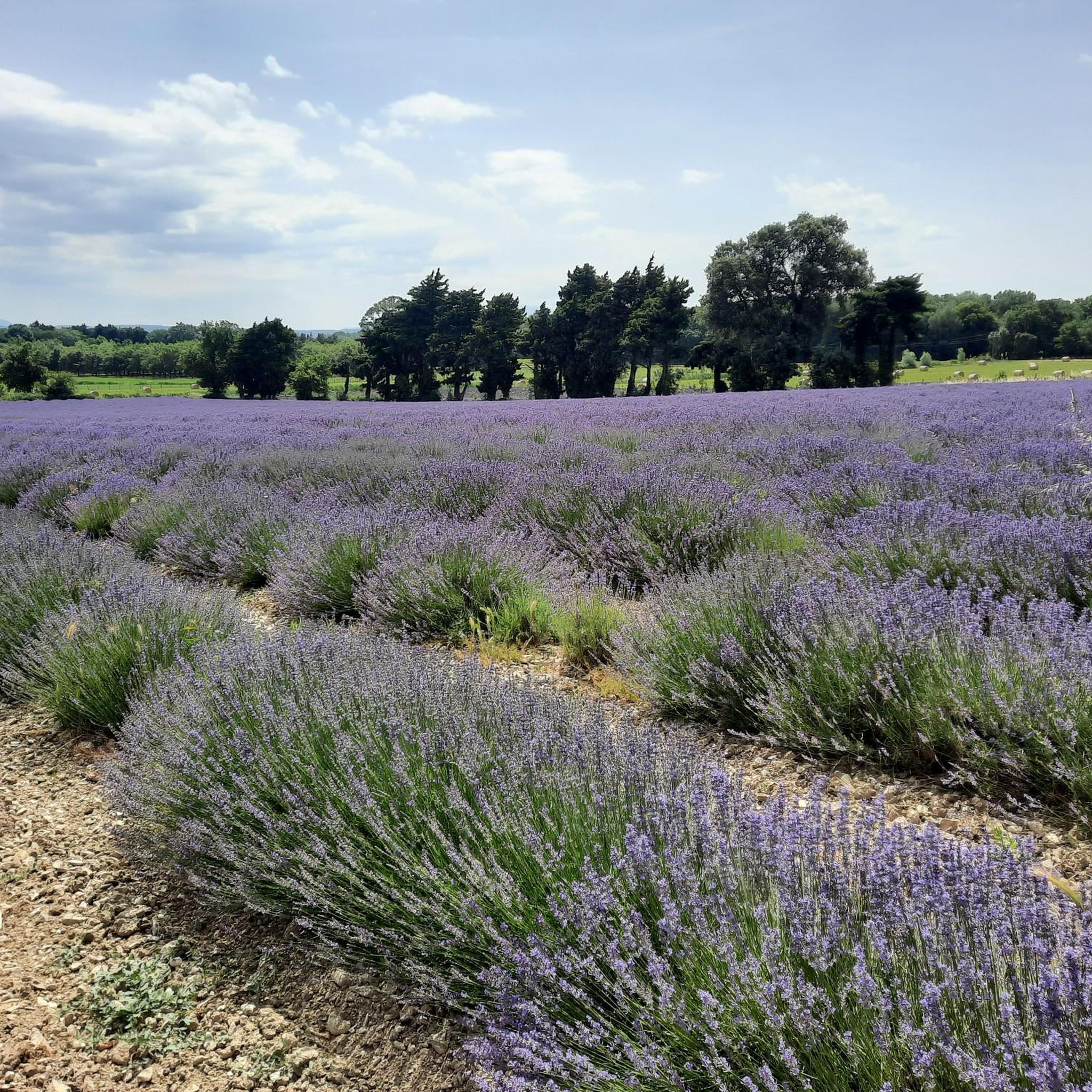
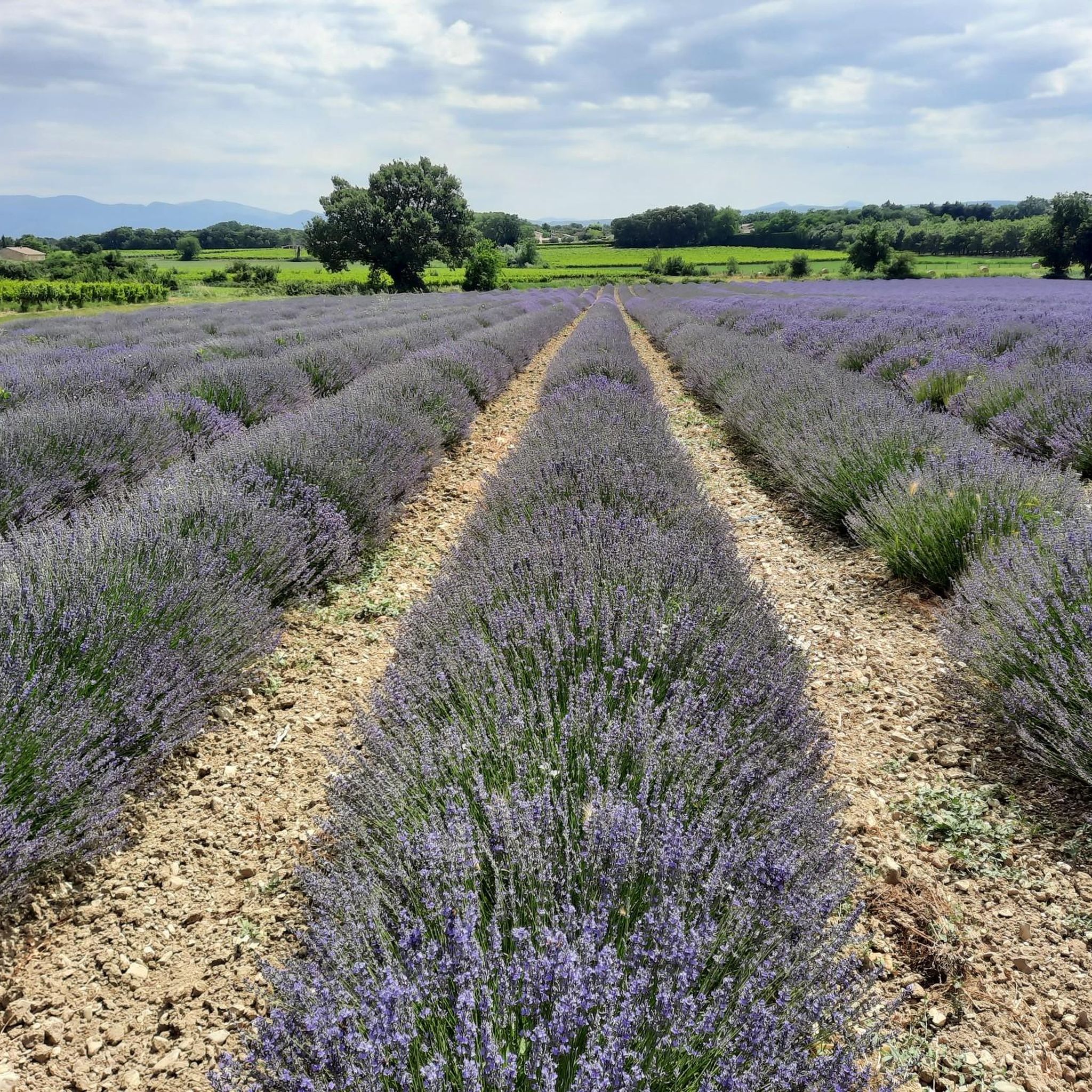
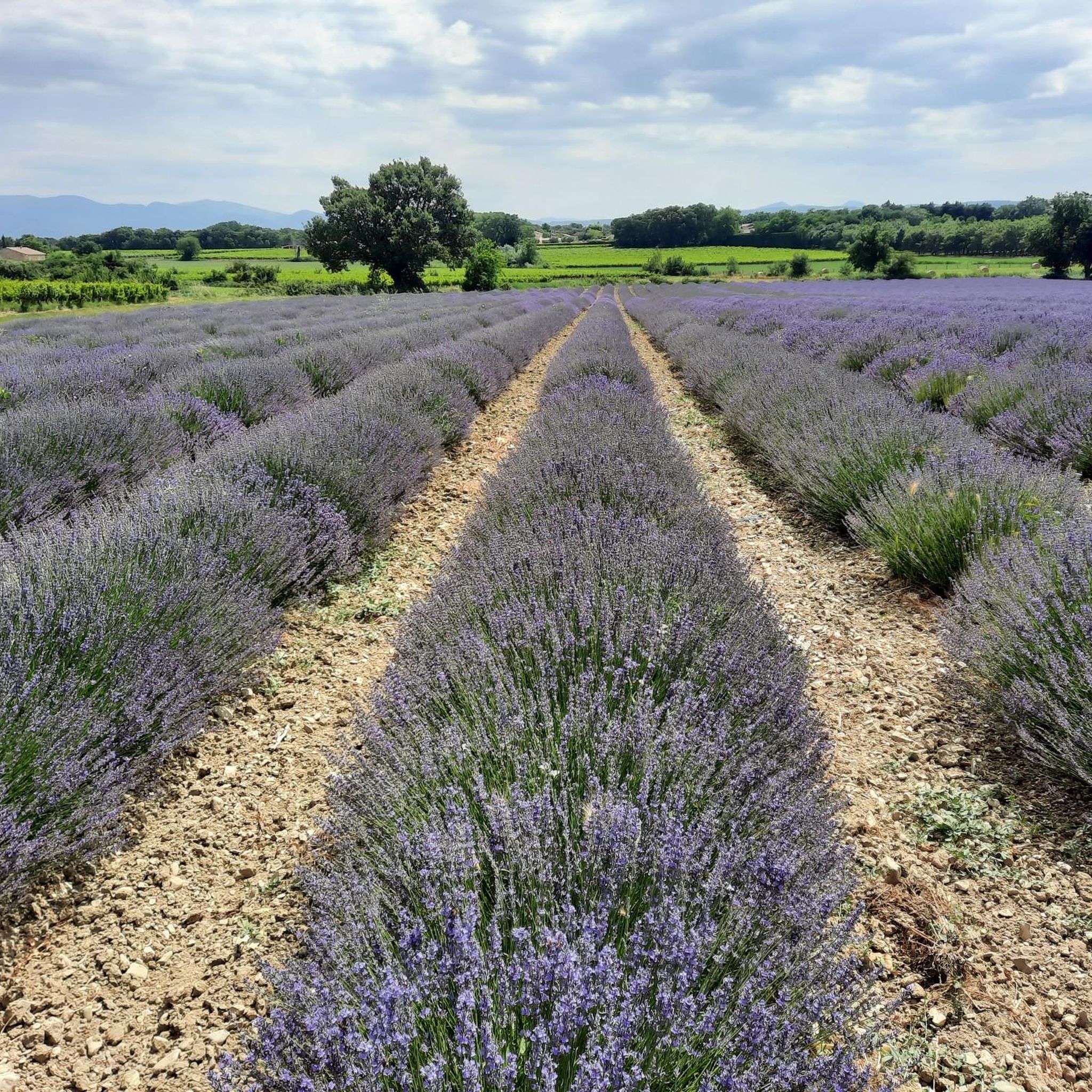
To see the lavender fields in bloom in Drôme Provençale, it is best to come between mid-June and the end of July.
0
0

Rocks for advanced - with permanently attached rope guide. Overhanging rock face that is deep enough for overnight stays (similar to Boofen in the Elbe Sandstone Mountains).
1
0
Frequently Asked Questions
How many hiking trails are available around Richerenches?
There are over 150 hiking routes around Richerenches, offering a wide variety of options. Approximately 80 of these are easy, while around 70 are moderate, catering to different fitness levels.
What kind of landscapes can I expect to see while hiking near Richerenches?
Hiking around Richerenches immerses you in the diverse landscapes of the Comtat Venaissin. You'll encounter picturesque countryside, extensive vineyards, olive groves, and truffle oak trees. The region is also encircled by four small rivers, contributing to a tranquil environment with gentle, rolling terrain.
Are there any easy, family-friendly hikes around Richerenches?
Yes, Richerenches offers many easy trails suitable for families. An excellent option is the Lavender Field loop from Grillon, an easy 3.9-mile (6.3 km) path that leads through open fields with minimal elevation gain, often showcasing lavender in season. Another easy choice is the Colonzelle Church – View of the River loop from Colonzelle, a 3.8-mile (6.2 km) route offering pleasant river and countryside views.
What are the best times of year to go hiking in Richerenches?
Richerenches offers pleasant hiking conditions for much of the year. Spring and autumn provide mild temperatures and beautiful scenery, with spring bringing wildflowers and autumn showcasing vibrant foliage. Summer is also enjoyable, especially with the region being encircled by rivers, offering a refreshing environment. Winter offers a unique experience, particularly if you're interested in combining your hike with a visit to the famous truffle market.
Are there any circular hiking routes available in the Richerenches area?
Yes, many routes around Richerenches are circular, allowing you to start and end in the same location. For example, the Colonzelle Church – Small Stone Street loop from Serre du Pont is a moderate 5.7-mile (9.2 km) circular trail that takes you through rural landscapes and charming village streets.
What historical sites or landmarks can I explore while hiking near Richerenches?
Richerenches has a rich historical past, particularly with its Templar history. You can explore the remnants of the Templar Commandery, including the Templar Commandery of Richerenches and the Templar Castle in the Town Center. Further afield, you might encounter impressive structures like Suze-la-Rousse Castle or Château de Grignan, which add a cultural dimension to your outdoor excursions.
What do other hikers say about the trails in Richerenches?
The hiking routes in Richerenches are highly rated by the komoot community, with an average score of 4.5 stars from over 400 reviews. More than 2,000 hikers have used komoot to explore the varied terrain, often praising the tranquil environment, scenic vineyards, and charming rural paths.
Are there any hikes that feature lavender fields?
Yes, the region is known for its lavender. The Lavender Field loop from Grillon is an easy 3.9-mile (6.3 km) path specifically designed to take you through open fields, often showcasing beautiful lavender in season. Another option is The Druids' Pool – Lavender fields loop from Montségur-sur-Lauzon, a moderate 6.1-mile (9.8 km) route that also passes through lavender fields.
What is the general difficulty level of hikes around Richerenches?
The majority of hikes around Richerenches are either easy or moderate. There are approximately 84 easy routes, perfect for a leisurely stroll, and 72 moderate routes for those seeking a bit more challenge. Only a small number of routes are classified as difficult, making the area accessible to most hikers.
Can I find trails that offer views of the local rivers?
Yes, Richerenches is encircled by four small rivers, and some trails offer views of these waterways. The Colonzelle Church – View of the River loop from Colonzelle is a prime example, providing scenic views of the river and surrounding countryside on an easy 3.8-mile (6.2 km) loop.
Are there any longer, more challenging hikes for experienced walkers?
While most trails are easy to moderate, there are options for longer walks. For instance, the Charmaret Village – Chamaret Tower loop from Montségur-sur-Lauzon is a moderate 7.5-mile (12.1 km) hike that takes around 3 hours 12 minutes to complete, offering a more extended exploration of the area's landscapes.
Most popular routes around Richerenches
Most popular attractions around Richerenches

Get inspired with the komoot mobile app


Explore more
Browse the best Hikes in other regions.
