The best road cycling routes around Pressins
4.6
(200)
4,461
riders
224
rides
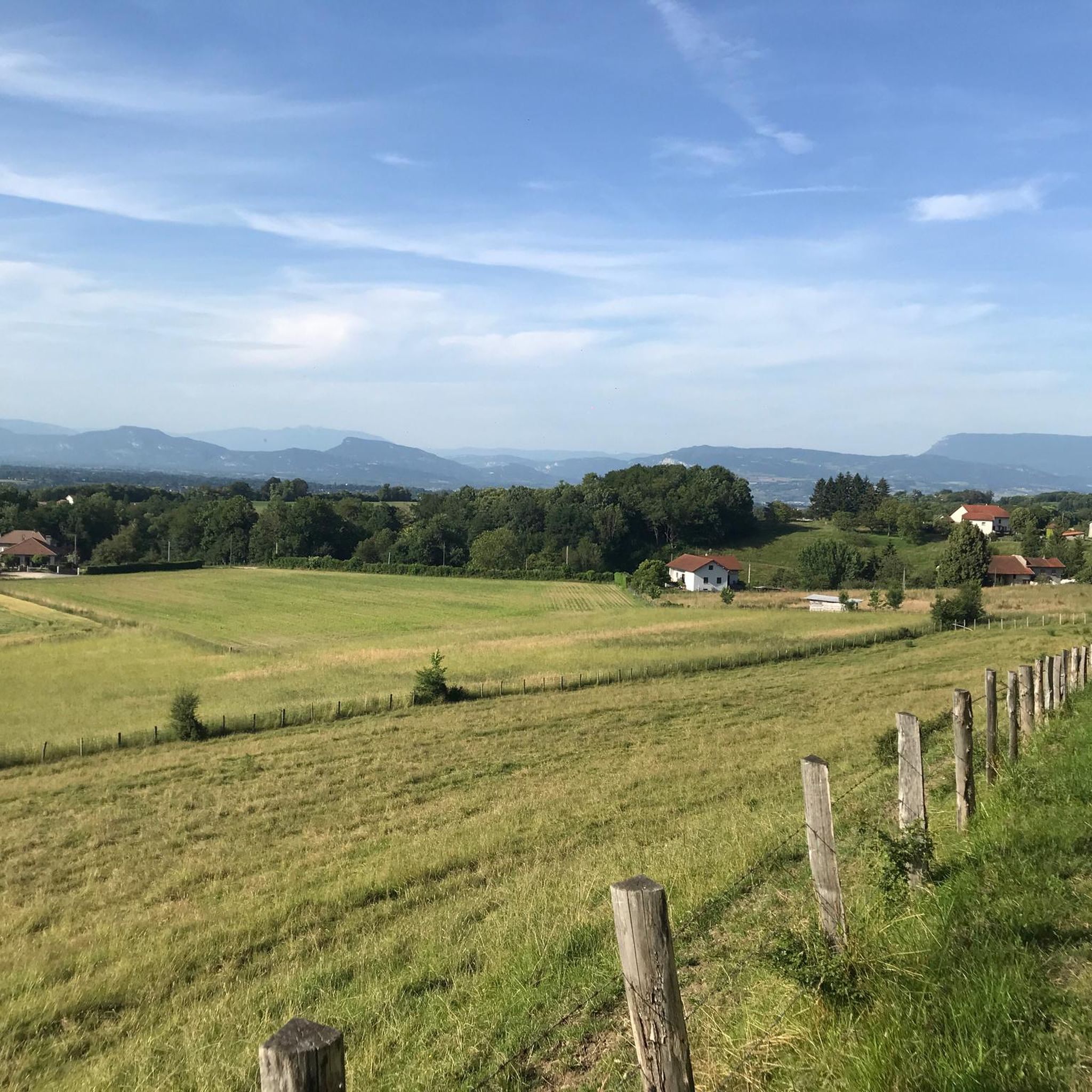
Road cycling routes around Pressins traverse a landscape characterized by rolling hills, valleys, and views of the surrounding mountains and lakes, including Lake Aiguebelette. The region, situated near the border of Isère and Savoie, offers varied terrain suitable for road cyclists. Routes often include ascents to cols and descents through forested areas and open countryside.
Best road cycling routes around Pressins
- The most popular road cycling route is On the border of Isère and Savoie, a 40.4 miles (65.0…
Last updated: July 2, 2026
4.0
(1)
16
riders
65.0km
03:09
890m
890m
Moderate road ride. Good fitness required. Mostly well-paved surfaces and easy to ride.
4.8
(6)
101
riders
Moderate road ride. Good fitness required. Mostly well-paved surfaces and easy to ride.

Sign up for free
4.3
(6)
93
riders
Moderate road ride. Good fitness required. Some segments of this route may be unpaved and difficult to ride.
5.0
(2)
37
riders
Moderate road ride. Good fitness required. Mostly well-paved surfaces and easy to ride.
4.0
(1)
27
riders
Moderate road ride. Good fitness required. Mostly well-paved surfaces and easy to ride.
Get access to more routes and recommendations from other explorers.
Sign up for free
Already have an account?
Our route recommendations are based on thousands of hikes, rides, and runs completed by other people on komoot.
Start today with a free account
Your next adventure awaits.
Login or Signup

Tips from the Community

A famous praline brioche 😃
0
0

Here is the route for the ascent of the Col de la Crusille starting from Novalaise
1
0

I found the fish ladders below the bridge worth seeing.
5
0

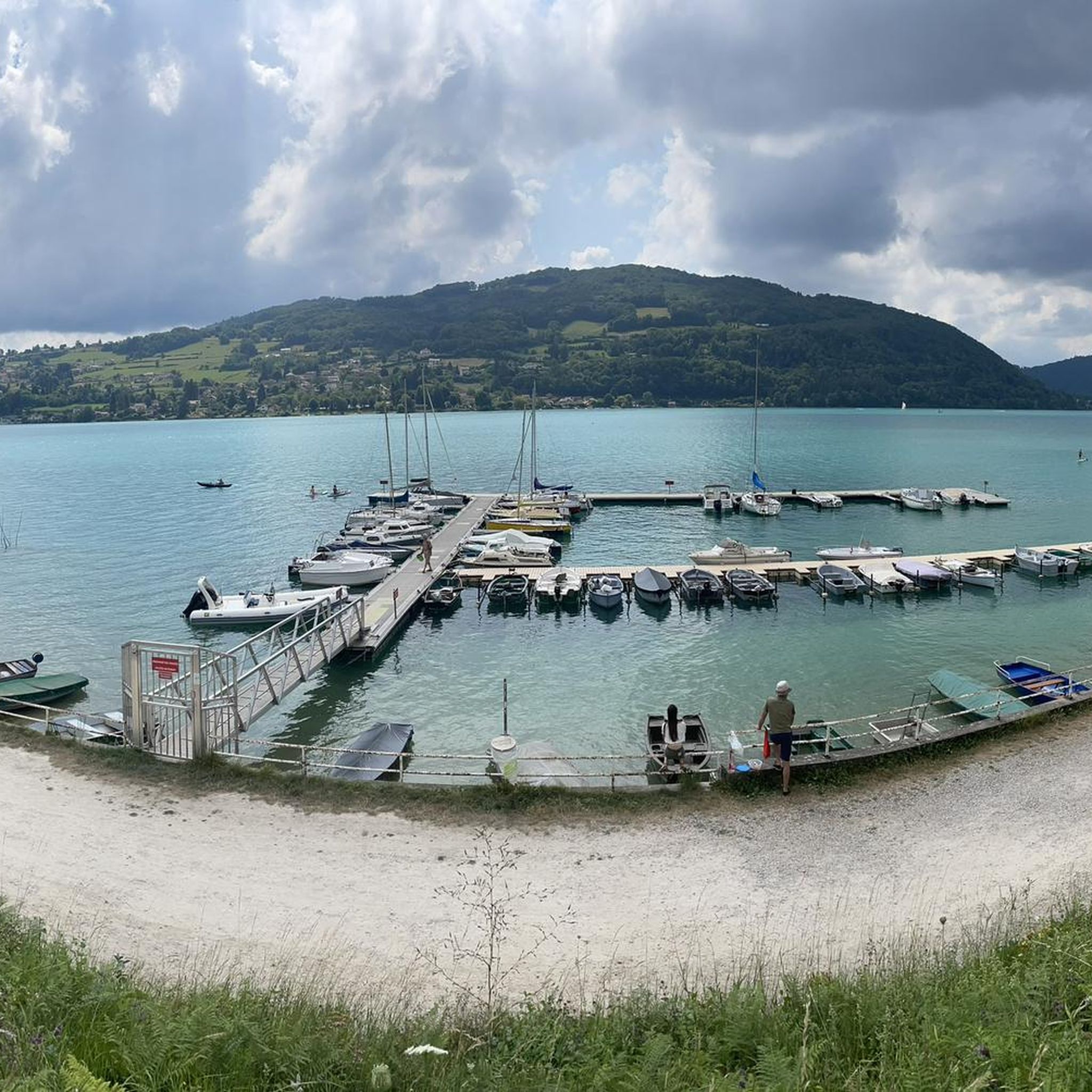
Beautiful spot on the famous Lac d'Aiguebelette, a lake whose views are rare when cycling around it.
0
0
Pretty village but which I didn't necessarily enjoy passing by road bike, with its many one-way streets, speed bumps and traffic lights...
0
0
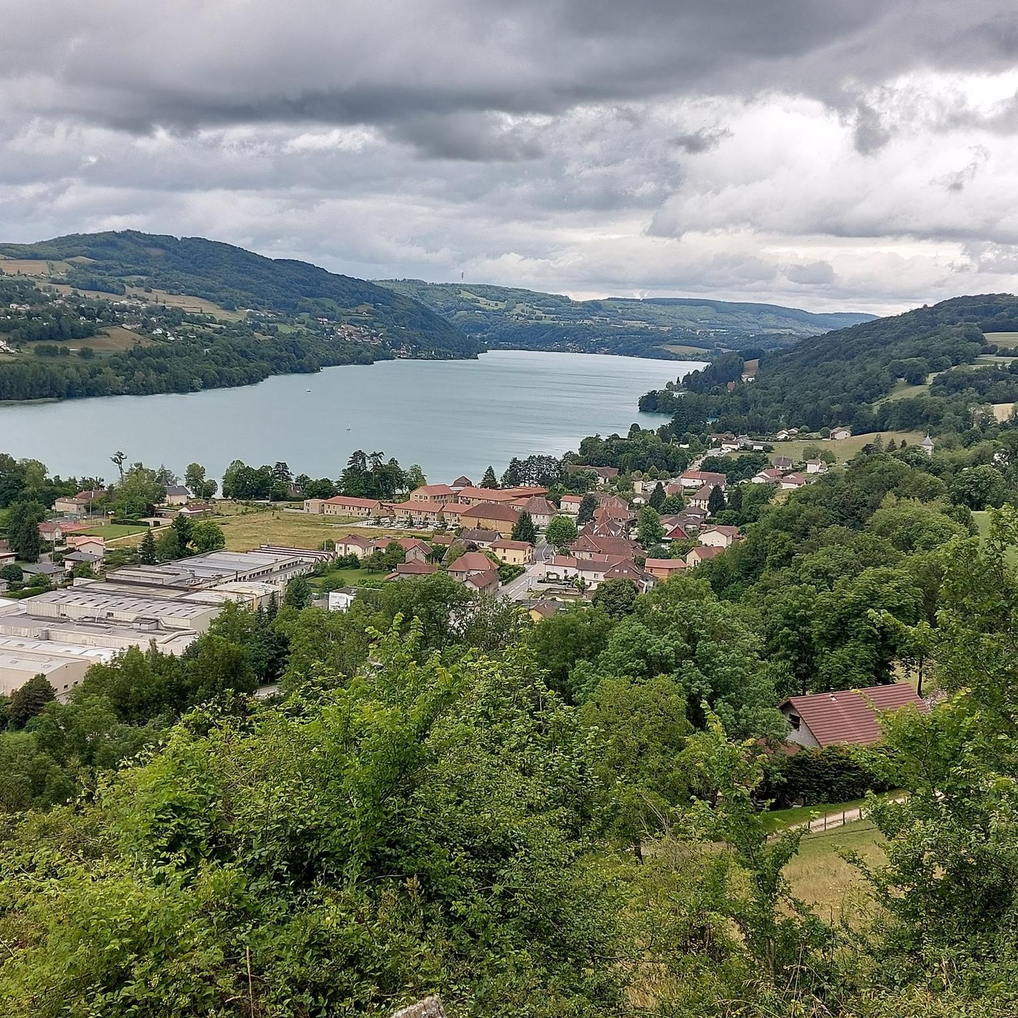
View of Lake Aiguebelette and Mont Grelle from Saint-Alban-de-Montbel
0
0
Lake Aiguebelette is a natural lake located in France in the Savoie department in the Auvergne-Rhône-Alpes region. Main lake of the Savoyard Avant-Pays, in the southern end of the Jura massif, it is located approximately 10 kilometers from Chambéry, approximately 40 kilometers from Grenoble and approximately 100 kilometers from Lyon. It has an area of 545 hectares and is as such the seventh natural French lake after Lake Geneva (in part), Lake Hourtin and Carcans, Lake Grand-Lieu, Lake Bourget, Lake Annecy and Lake Marville (at Kerguelen). Bordered to the east by the Épine chain which culminates with Mont Grelle at 1,427 meters and to the west by Mont Tournier, its maximum depth is 71 meters. At first glance, it is characterized by its often green color, whereas, in the same region, Lake Annecy is bluer and Lake Bourget is more often steel gray. Lake Aiguebelette is a private lake which belongs to the Rivérieulx de Chambost de Lépin family and Électrcité de France, who have entrusted its management to the Communauté de Communes du Lac d'Aiguebelette. Its banks are shared between five riverside municipalities: Aiguebelette-le-Lac, Lépin-le-Lac, Saint-Alban-de-Montbel, Novalaise and Nances. In the southern part of the lake there are two islands, surrounded by reed beds. In order to preserve the quality of its waters and its environment, thermal motor boats have been prohibited on the lake since a decree of 1967. It has also been the first regional freshwater nature reserve in France since March 2015. Source: Wikipedia
1
0
Frequently Asked Questions
How many road cycling routes are available around Pressins?
There are over 220 road cycling routes around Pressins, offering a wide range of options for different skill levels and preferences. These routes traverse rolling hills, valleys, and provide views of surrounding mountains and lakes.
Are there easy road cycling routes suitable for beginners in Pressins?
Yes, Pressins offers several easy road cycling routes perfect for beginners or those looking for a more relaxed ride. There are 14 routes specifically categorized as easy, allowing you to enjoy the scenic landscape without significant challenges.
What are some challenging road cycling routes for experienced cyclists?
For experienced cyclists seeking a challenge, Pressins has 59 difficult routes. A notable option is the Col du Cucheron (1,139 m) – Gorges du Guiers Mort loop from Le Pont-de-Beauvoisin, a demanding 90.3 km path with over 2,000 meters of elevation gain through mountain passes and gorges. Another challenging ride is the Gorges du Guiers Mort – Col de Porte (1326 m) loop from Le Pont-de-Beauvoisin, covering 75.3 km with over 1,500 meters of ascent.
Are there any family-friendly road cycling paths in the Pressins area?
While many routes involve some elevation, some of the easier and shorter routes can be suitable for families, especially those with older children or e-bikes. Look for routes with less elevation gain and shorter distances, often found closer to Lake Aiguebelette.
What is the best time of year for road biking in Pressins?
The best time for road biking in Pressins is typically from spring through autumn. During these seasons, the weather is generally mild, and the natural scenery is at its most vibrant. Summer offers warmer temperatures, while spring and autumn provide cooler rides and beautiful foliage.
Can I find circular road cycling routes around Pressins?
Yes, many of the road cycling routes around Pressins are designed as loops, allowing you to start and end at the same point. For example, the The Savoyard Antilles – View of Lake Aiguebelette loop from Le Pont-de-Beauvoisin is a popular 43.7 km circular route offering great views.
What kind of views can I expect on road cycling routes near Pressins?
Road cycling routes near Pressins offer diverse and scenic views. You can expect vistas of rolling hills, lush valleys, and glimpses of the surrounding mountains. Many routes also feature stunning views of Lake Aiguebelette, particularly on the eastern side of Pressins.
Are there any notable landmarks or attractions to see along the routes?
Yes, the region around Pressins is dotted with interesting landmarks. You might pass by historic religious buildings like Our Lady of the Vines or the Saint John the Evangelist Church of Valencogne. Several mountain passes, such as Col du Banchet and Col des Mille Martyrs, also offer panoramic views.
What do other road cyclists say about the routes in Pressins?
The road cycling routes in Pressins are highly regarded by the komoot community, with an average rating of 4.5 stars from over 180 reviews. Cyclists often praise the varied terrain, the beautiful lake and mountain views, and the well-maintained roads that make for an enjoyable riding experience.
Are there routes that include mountain passes?
Absolutely. The region is known for its mountain passes, which are often incorporated into road cycling routes. You can find routes that ascend to passes like Col du Banchet, Col des Mille Martyrs, and Crusille Pass (573 m), offering challenging climbs and rewarding descents.
What is the typical length and duration of road cycling routes in Pressins?
Route lengths vary significantly, from shorter rides of around 30-40 km to longer, more challenging tours exceeding 90 km. Durations can range from under 2 hours for moderate routes to over 5 hours for difficult ones, depending on the distance and elevation gain.
Most popular attractions around Pressins

Get inspired with the komoot mobile app


Explore more
Browse the best Road cycling routes in other regions.
