The best walks and hikes around Saint-Martin-De-Vaulserre
4.5
(632)
3,556
hikers
173
hikes
Hiking around Saint-Martin-De-Vaulserre offers varied terrain characterized by rolling hills and a mix of forest paths and small roads. The landscape provides panoramic views of the Chartreuse and Épine mountains, as well as the Ainan valley and Guiers gorges. Hikers can expect to encounter sub-forest trails, open pastures, and features like the Combière waterfall. The region's network of trails includes options ranging from easy walks to more challenging routes.
Best hiking trails around Saint-Martin-De-Vaulserre
- The most popular hiking route is…
Last updated: July 1, 2026
4.5
(6)
25
hikers
6.87km
02:10
260m
260m
Moderate hike. Good fitness required. Easily-accessible paths. Suitable for all skill levels.
5.0
(3)
23
hikers
4.73km
01:26
160m
160m
Easy hike. Great for any fitness level. Easily-accessible paths. Suitable for all skill levels.

Sign up for free
4.3
(4)
15
hikers
6.94km
02:09
250m
250m
Moderate hike. Good fitness required. Easily-accessible paths. Suitable for all skill levels.
5.0
(3)
11
hikers
8.54km
02:27
200m
200m
Moderate hike. Good fitness required. Easily-accessible paths. Suitable for all skill levels.
5.0
(2)
8
hikers
13.3km
03:56
380m
380m
Moderate hike. Good fitness required. Easily-accessible paths. Suitable for all skill levels.
Get access to more routes and recommendations from other explorers.
Sign up for free
Already have an account?
Our route recommendations are based on thousands of hikes, rides, and runs completed by other people on komoot.
Start today with a free account
Your next adventure awaits.
Login or Signup

Tips from the Community

A small observation deck at the top of the religious site. Unfortunately, the surrounding area would benefit from being cleared of trees to fully appreciate the view, as the panorama is limited by vegetation. It's best to visit in winter to be less bothered by the foliage.
0
0

It is a private property
0
0

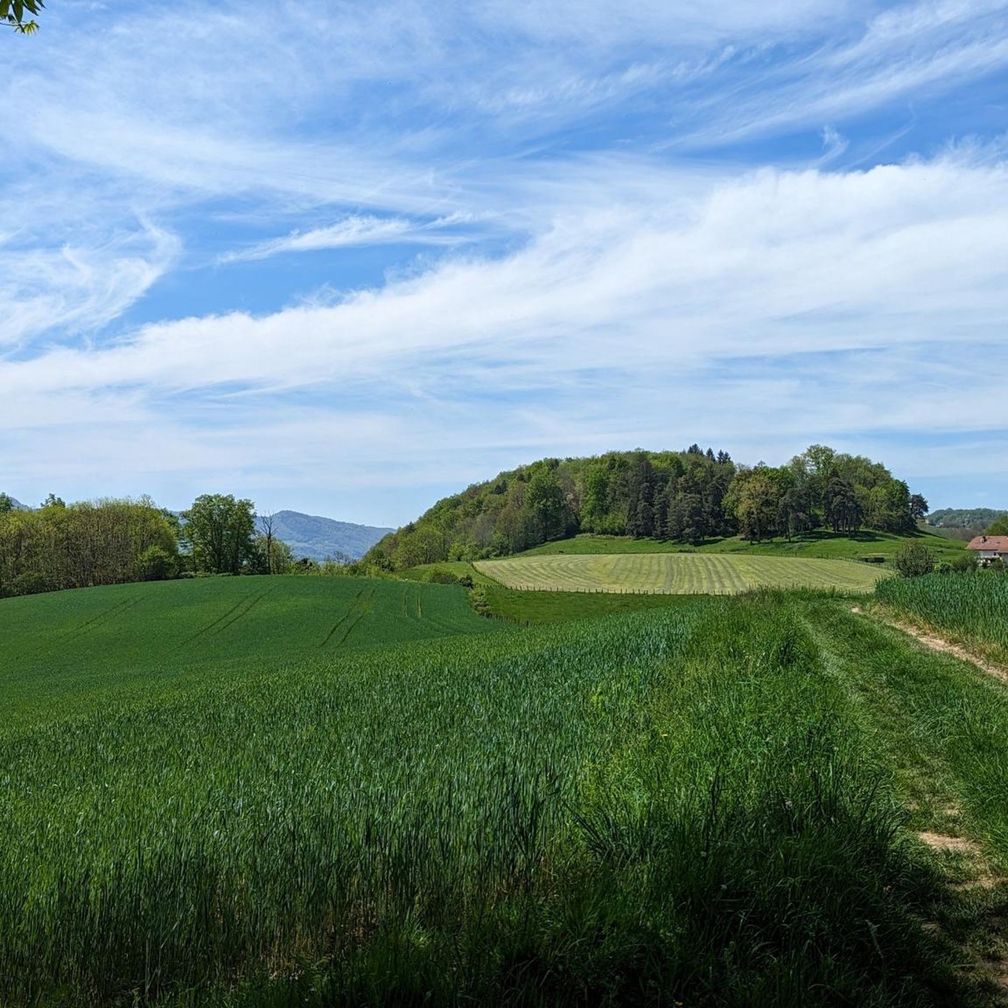
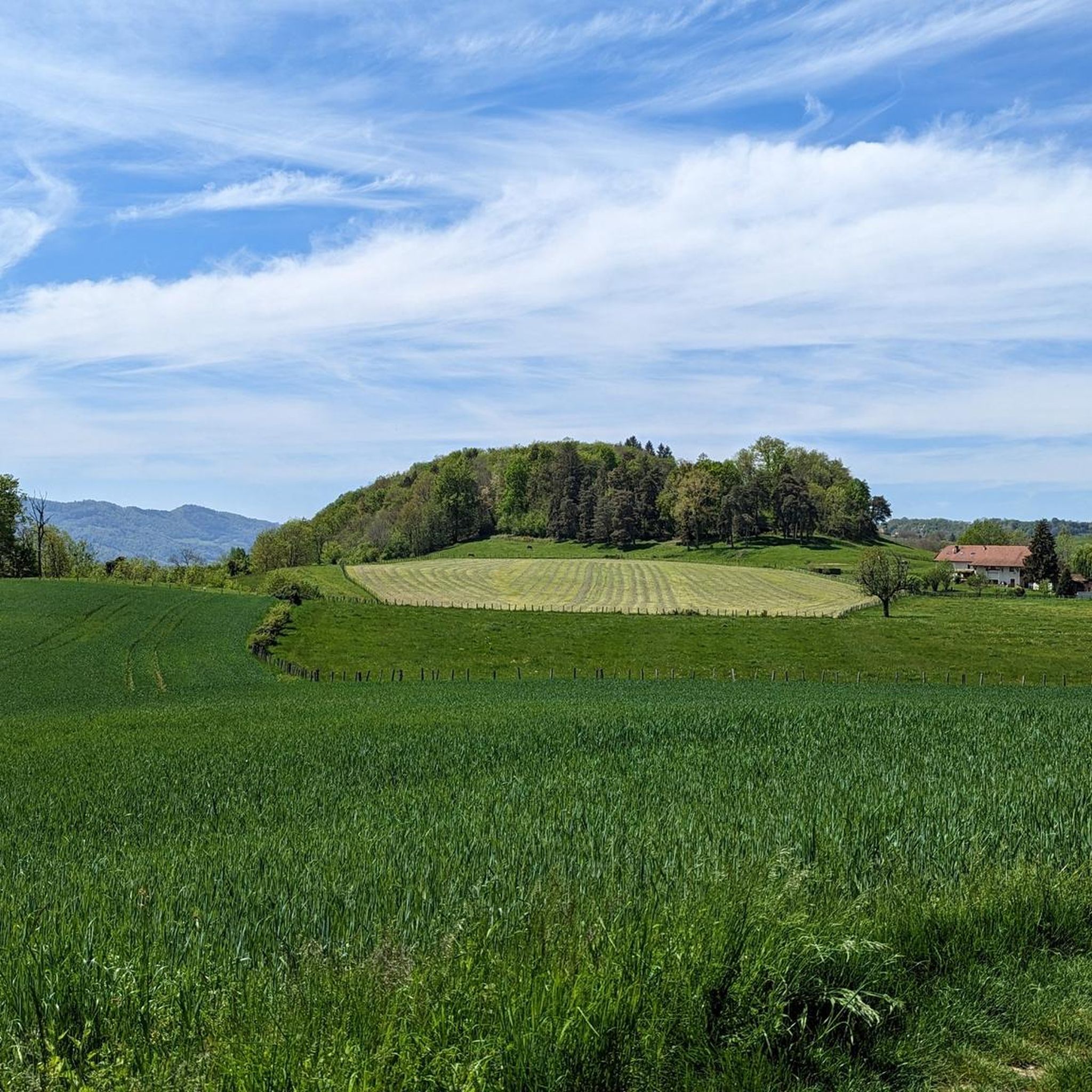
Beautiful view of the mountains looming above the trees and fields.
2
0
Green fields and rolling hills crowned by distant mountains.
2
0
A religious monument coupled with a magnificent observation platform. A must see.
2
0

Frequently Asked Questions
How many hiking trails are available around Saint-Martin-de-Vaulserre?
There are over 160 hiking routes available around Saint-Martin-de-Vaulserre, offering a wide range of options for different preferences and fitness levels.
Are there easy hiking options suitable for beginners or families?
Yes, Saint-Martin-de-Vaulserre offers many easy trails. For example, the Château de Longpra loop from Saint-Geoire-en-Valdaine is an easy 4.7 km path with gentle gradients. Another accessible option is the Viewpoint – Sacré Coeur Monument loop from Saint-Martin-de-Vaulserre, which is also considered easy and takes about 1 hour 25 minutes.
Can I find circular hiking routes in the area?
Many of the trails in Saint-Martin-de-Vaulserre are designed as circular routes, allowing you to start and end at the same point. Examples include the popular Monument Sacré Coeur — loop from La Roche and the Forest Trail – Grenant Stream loop from Saint-Béron - La Bridoire.
Are there any trails that feature waterfalls?
Yes, the region is home to natural features like the Combière waterfall. You can also find the Waterfalls of the Ruisseau de la Pissoire, which can be incorporated into some hiking routes.
What kind of landscapes can I expect to see while hiking here?
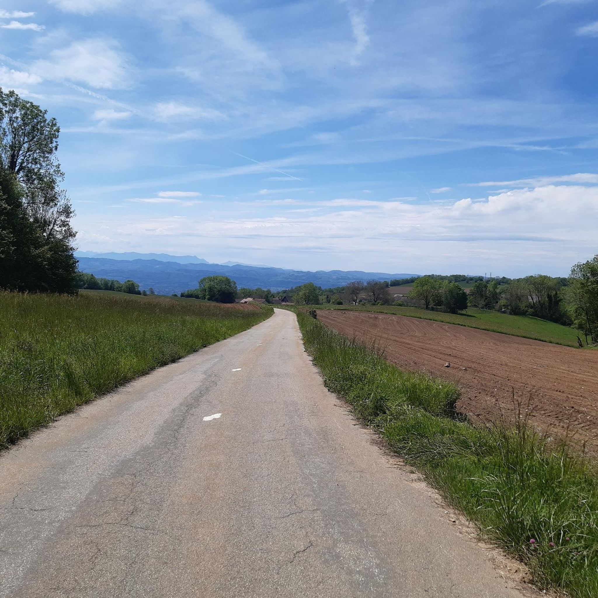
Hikers in Saint-Martin-de-Vaulserre will experience a diverse landscape of rolling hills, tranquil countryside, and a mix of forest paths and small roads. You'll encounter sub-forest trails, open pastures with grazing cows, and panoramic views of the Chartreuse and Épine mountains, as well as the Ainan valley and Guiers gorges.
Are there any notable landmarks or attractions to visit along the trails?
Absolutely. A prominent landmark is the Monument Sacré Coeur, which offers magnificent observation points over the valley. Other points of interest include the Grenant Stream, the Old Saint-Martin Bridge, and the Gorges of the Grotte de Saint-Christophe. You might also discover historical sites like the Dolmen de l'Antillière.
What do other hikers say about the trails in Saint-Martin-de-Vaulserre?
The trails in Saint-Martin-de-Vaulserre are highly rated by the komoot community, with an average score of 4.5 stars from over 540 reviews. Hikers often praise the varied terrain, the beautiful panoramic views, and the well-marked paths that cater to different ability levels.
Are the hiking trails in Saint-Martin-de-Vaulserre dog-friendly?
Many trails in the region are suitable for dogs, especially those that traverse forest paths and open countryside. It's always recommended to keep your dog on a leash, particularly in areas with livestock or near roads, and to check specific trail regulations if available.
What is the typical duration of hikes in this region?
Hikes in Saint-Martin-de-Vaulserre vary in duration. You can find shorter walks of up to two hours, such as the Viewpoint – Sacré Coeur Monument loop which takes about 1 hour 25 minutes. Longer, more challenging routes can extend up to five hours, depending on the distance and elevation gain.
Are there options for more challenging hikes?
Yes, while there are many easy and moderate routes, the area also offers more challenging hikes for those seeking a greater physical test. These routes can involve significant elevation gains, sometimes up to 1,000 meters, and may require good physical condition. There are 8 difficult routes recorded in the area.
Is parking available at trailheads?
Many popular trailheads and starting points for hikes in Saint-Martin-de-Vaulserre, especially those leading to attractions like the Monument Sacré Coeur, typically offer designated parking areas. It's advisable to check specific route details for parking information before you go.
What is the best time of year to go hiking in Saint-Martin-de-Vaulserre?
The region is enjoyable for hiking throughout much of the year. Spring and autumn offer pleasant temperatures and vibrant scenery, while summer provides warm conditions ideal for shaded forest walks. Even winter can be suitable for hiking, though some higher or less maintained paths might require appropriate gear.
Can I hike in Saint-Martin-de-Vaulserre during winter?
Yes, hiking is possible in winter, especially on lower elevation trails. The region's 'soft and tranquil countryside' can offer beautiful winter landscapes. However, be prepared for colder temperatures and potentially icy or snowy conditions on some paths. Always check local weather forecasts and trail conditions before heading out.
Most popular routes around Saint-Martin-De-Vaulserre
Most popular attractions around Saint-Martin-De-Vaulserre

Get inspired with the komoot mobile app


Explore more
Browse the best Hikes in other regions.
