The best walks and hikes around Magny-En-Bessin
4.5
(989)
6,209
hikers
252
hikes
Hiking around Magny-En-Bessin offers routes through the gentle, rolling landscapes of Normandy, characterized by agricultural fields, small villages, and proximity to the coast. The terrain typically features low elevation changes, making many trails accessible. Paths often traverse rural areas and can include sections near the Baie de Seine, providing varied scenery. The region's hiking trails provide opportunities to explore the local countryside.
Best hiking trails around Magny-En-Bessin
- The most popular hiking route is Les monts de Ryes — loop —…
Last updated: July 5, 2026
4.6
(13)
50
hikers
7.92km
02:04
60m
60m
Moderate hike. Good fitness required. Easily-accessible paths. Suitable for all skill levels.
4.3
(3)
39
hikers
8.46km
02:11
50m
40m
Moderate hike. Good fitness required. Easily-accessible paths. Suitable for all skill levels.

Sign up for free
4.5
(17)
68
hikers
Easy hike. Great for any fitness level. Easily-accessible paths. Suitable for all skill levels.
4.7
(7)
36
hikers
Moderate hike. Good fitness required. Easily-accessible paths. Suitable for all skill levels.
5.0
(1)
23
hikers
Easy hike. Great for any fitness level. Easily-accessible paths. Suitable for all skill levels.
Get access to more routes and recommendations from other explorers.
Sign up for free
Already have an account?
Our route recommendations are based on thousands of hikes, rides, and runs completed by other people on komoot.
Start today with a free account
Your next adventure awaits.
Login or Signup

Tips from the Community

Forbidden
0
0

pleasant walk that ends with a delicious ice cream at the farm.
0
0

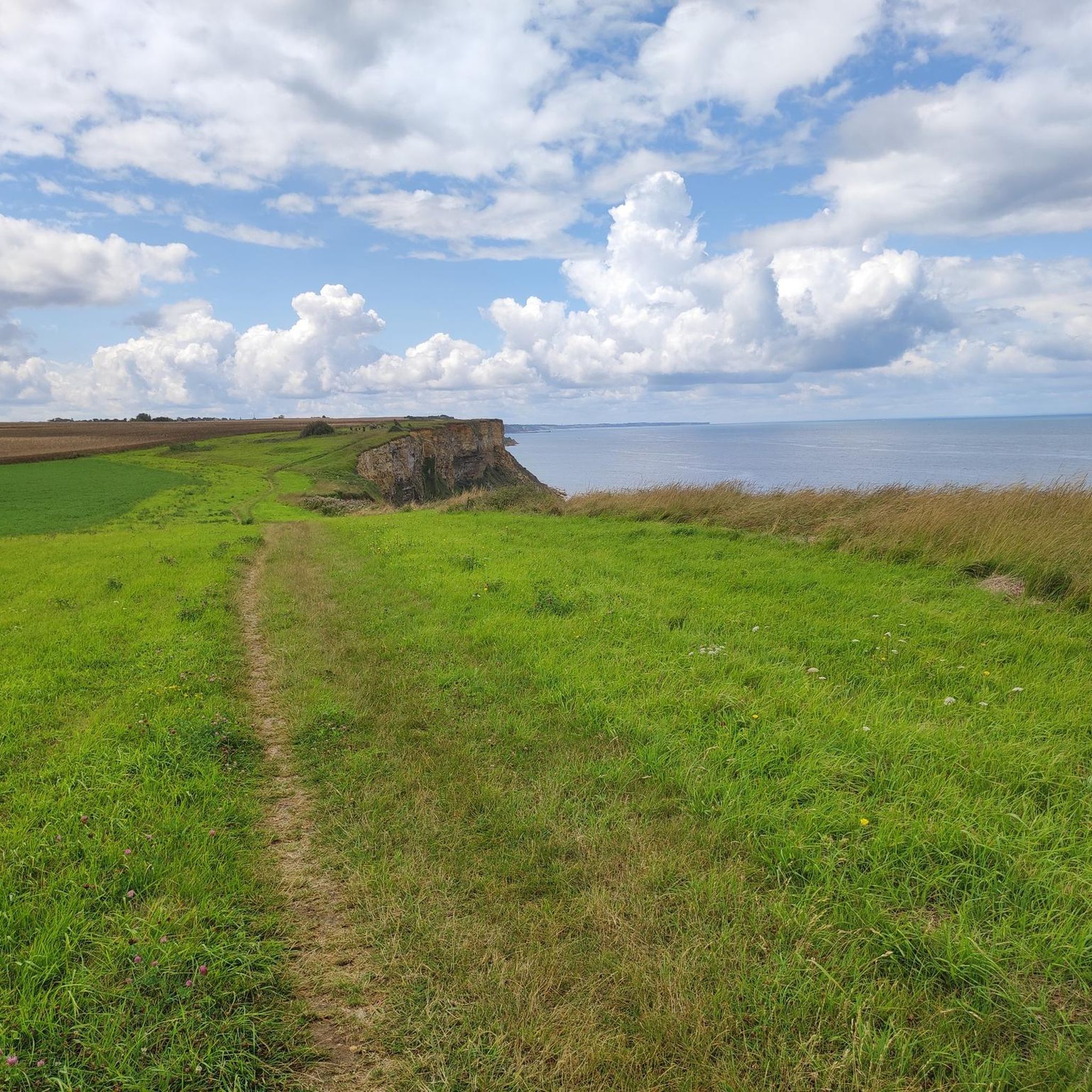
Today we balanced across the stream. It was a bit muddy, and there were a few nettles, but the reward was the beautiful path right along the cliffs with amazing views. And if necessary, you can backtrack a bit and avoid that spot.
0
0

The still well-preserved bunkers of the Atlantic Wall.
5
0
The coastal battery in Longes-sur-Mer is one of the best preserved in Normandy. The bunkers and trenches are still accessible.
5
0
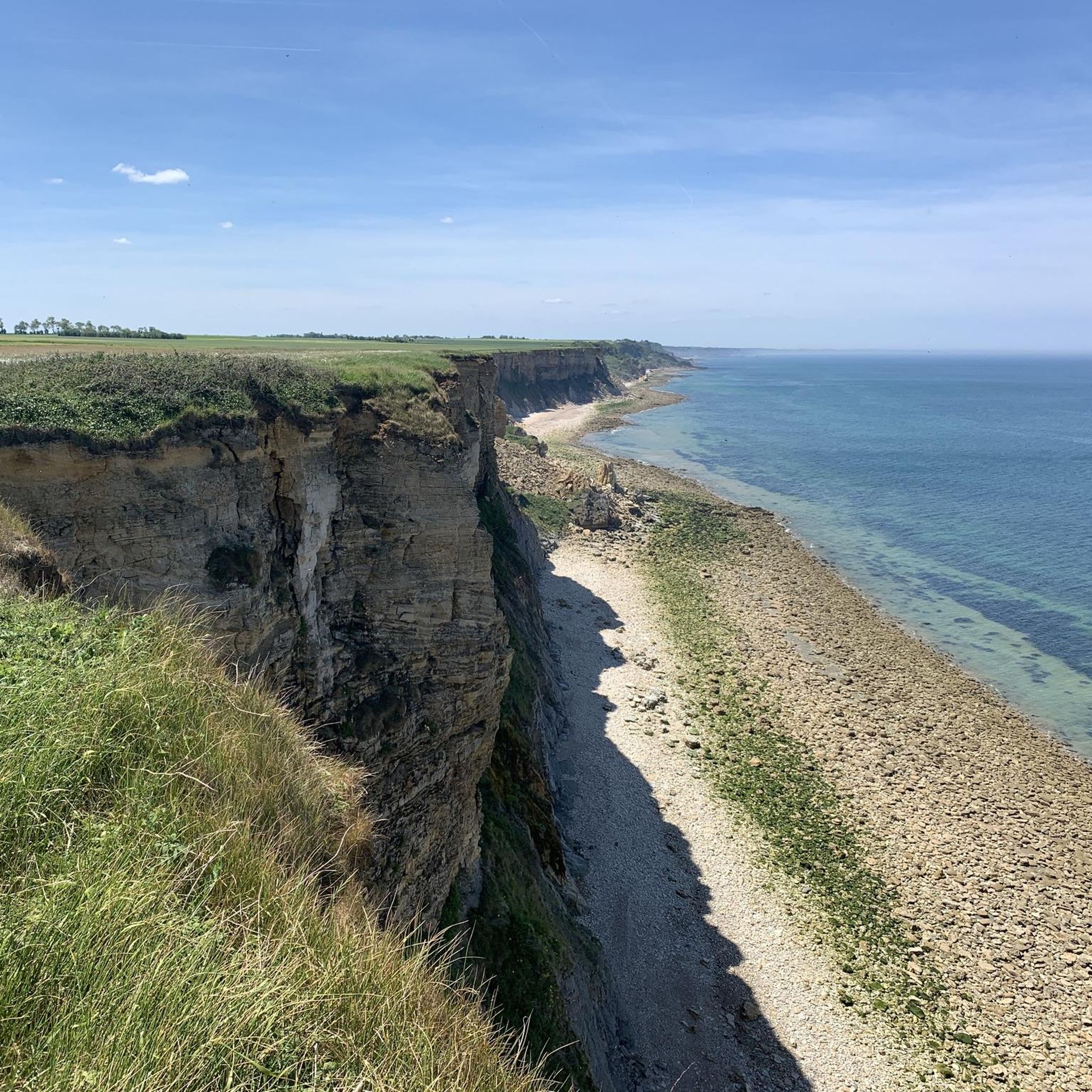
The view from the cliffs offers a view of the former artificial harbor of the Allies.
6
0

The battery in Longues-sur-Mer is considered one of the best-preserved in France. Located on a 60-meter-high cliff between Omaha Beach and Gold Beach, it was positioned directly opposite the Allied fleet. It is the only battery whose guns are still in place. You can move around freely and walk into anything.
0
0

A flashlight to see inside is welcome.
0
0
Frequently Asked Questions
How many hiking trails are available around Magny-En-Bessin?
There are over 230 hiking trails around Magny-En-Bessin, offering a wide variety of options through the gentle, rolling landscapes of Normandy. Many of these routes feature low elevation changes, making them accessible for various fitness levels.
Are there easy hiking trails suitable for beginners or casual walkers?
Yes, Magny-En-Bessin offers over 120 easy hiking trails. A good option for a relaxed walk is the Le Grand Fumichon Cider House – Stop for cider loop from Vaux-sur-Aure, which is a 2.4-mile (3.8 km) path with minimal elevation gain, perfect for a leisurely stroll.
What kind of terrain can I expect on hikes in this region?
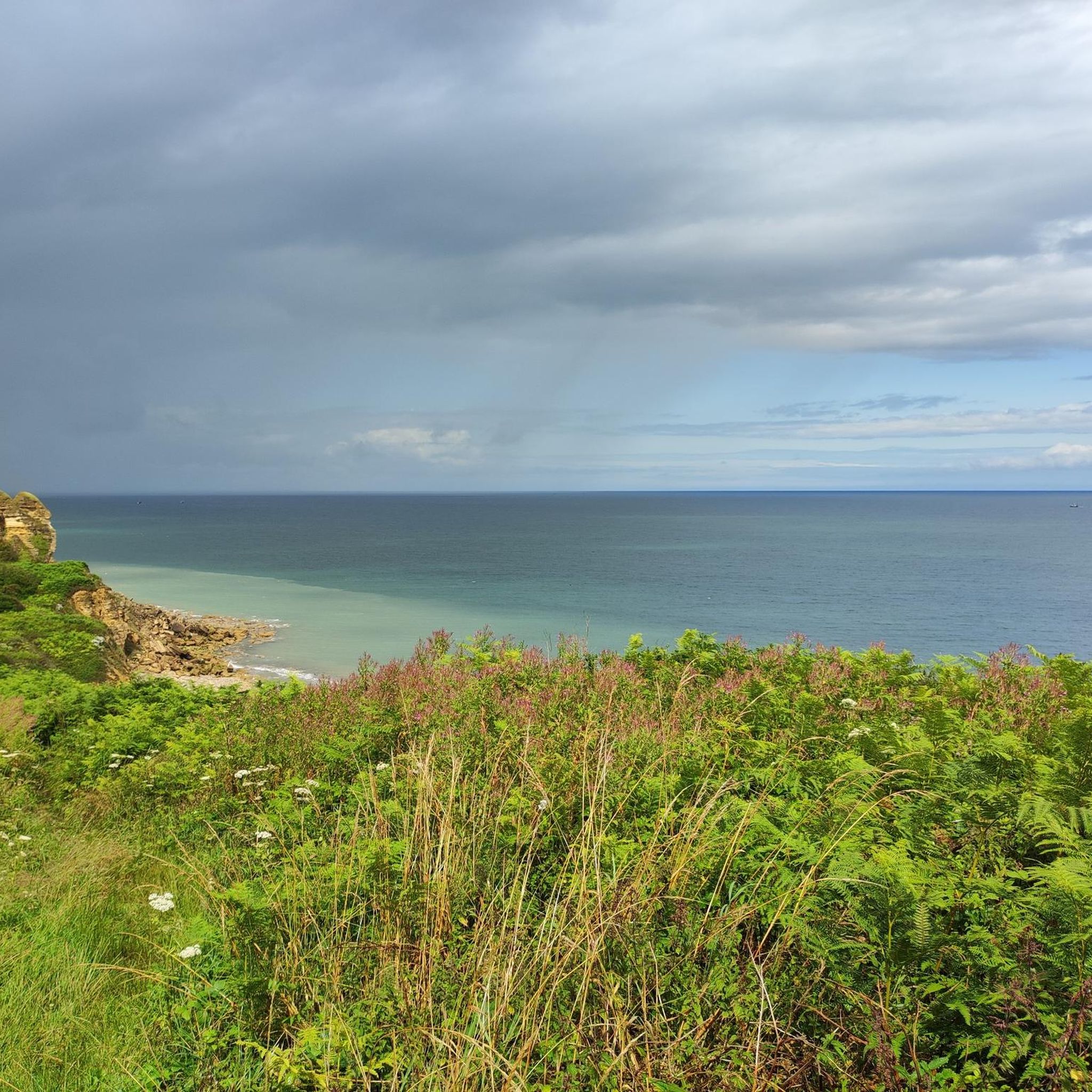
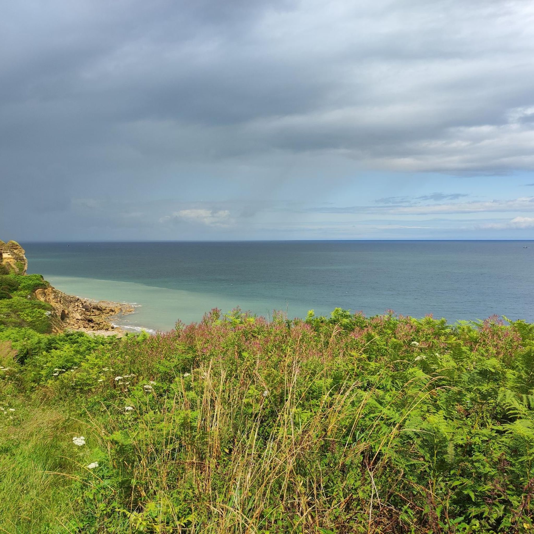
The terrain around Magny-En-Bessin is characterized by gentle, rolling landscapes, agricultural fields, and small villages. Many paths traverse rural areas, and some include sections near the Baie de Seine, offering varied scenery from countryside to coastal views. Elevation changes are generally low.
Are there any family-friendly walks around Magny-En-Bessin?
Many of the trails in Magny-En-Bessin are suitable for families due to their gentle nature and low elevation. The Arromanches-les-Bains – View of the beach loop from Tracy-sur-Mer is an easy 2.5-mile (4.1 km) route that offers scenic views and is manageable for most families.
Are there circular hiking routes available?
Yes, many of the hiking trails around Magny-En-Bessin are circular, allowing you to start and end at the same point. An example is the Les monts de Ryes — loop — running from Ryes, a 4.9-mile (7.9 km) trail that explores the gentle hills near Ryes.
What are some notable landmarks or attractions I can see while hiking?
The region offers several interesting landmarks. You can explore historic sites like Lantheuil Castle or Creully Castle. For natural beauty, look out for the dramatic Cliffs of the Baie de Seine or the scenic Cap Manvieux.
What do other hikers enjoy most about hiking in Magny-En-Bessin?
The area is highly rated by the komoot community, with an average score of 4.5 stars from over 800 reviews. Hikers often praise the peaceful rural paths, the charming villages, and the varied scenery that includes both countryside and coastal views, especially near the Baie de Seine.
Are there any hikes that offer coastal views?
Yes, some trails in the region provide beautiful coastal views, particularly those closer to the Baie de Seine. The Plank Bridge Over the Pisseau – Cliffs of the Baie de Seine loop from Manvieux is a 4.6-mile (7.4 km) trail that leads through coastal areas and near the impressive Cliffs of the Baie de Seine.
What is the best season for hiking in Magny-En-Bessin?
The best seasons for hiking in Magny-En-Bessin are typically spring and autumn, when the weather is mild and the landscapes are vibrant. Spring brings blooming flowers, while autumn offers beautiful foliage. Summer is also pleasant, though it can be warmer, and winter hikes are possible on many of the low-lying trails.
Are there any hikes that pass by local pubs or places to eat?
While specific pub-to-pub routes aren't highlighted, many trails pass through or near small villages where you can find local establishments. The region is known for its cider, so you might find opportunities to sample local produce, such as along the Le Grand Fumichon Cider House – Stop for cider loop from Vaux-sur-Aure.
Are there options for longer, more challenging hikes?
While the region is known for its gentle terrain, there are a few more challenging routes. Out of the 233 trails, 98 are rated as moderate and 8 as difficult. These routes typically cover longer distances or feature slightly more varied elevation, though significant climbs are rare due to the region's low elevation changes.
Can I find trails that are suitable for dog walking?
Many of the rural paths and trails around Magny-En-Bessin are suitable for dog walking, provided your dog is kept under control, especially when passing through agricultural areas or near livestock. It's always recommended to check local regulations and be mindful of private property.
Most popular routes around Magny-En-Bessin
Most popular attractions around Magny-En-Bessin

Get inspired with the komoot mobile app


Explore more
Browse the best Hikes in other regions.
