The best road cycling routes around Millery
4.2
(483)
9,194
riders
301
rides
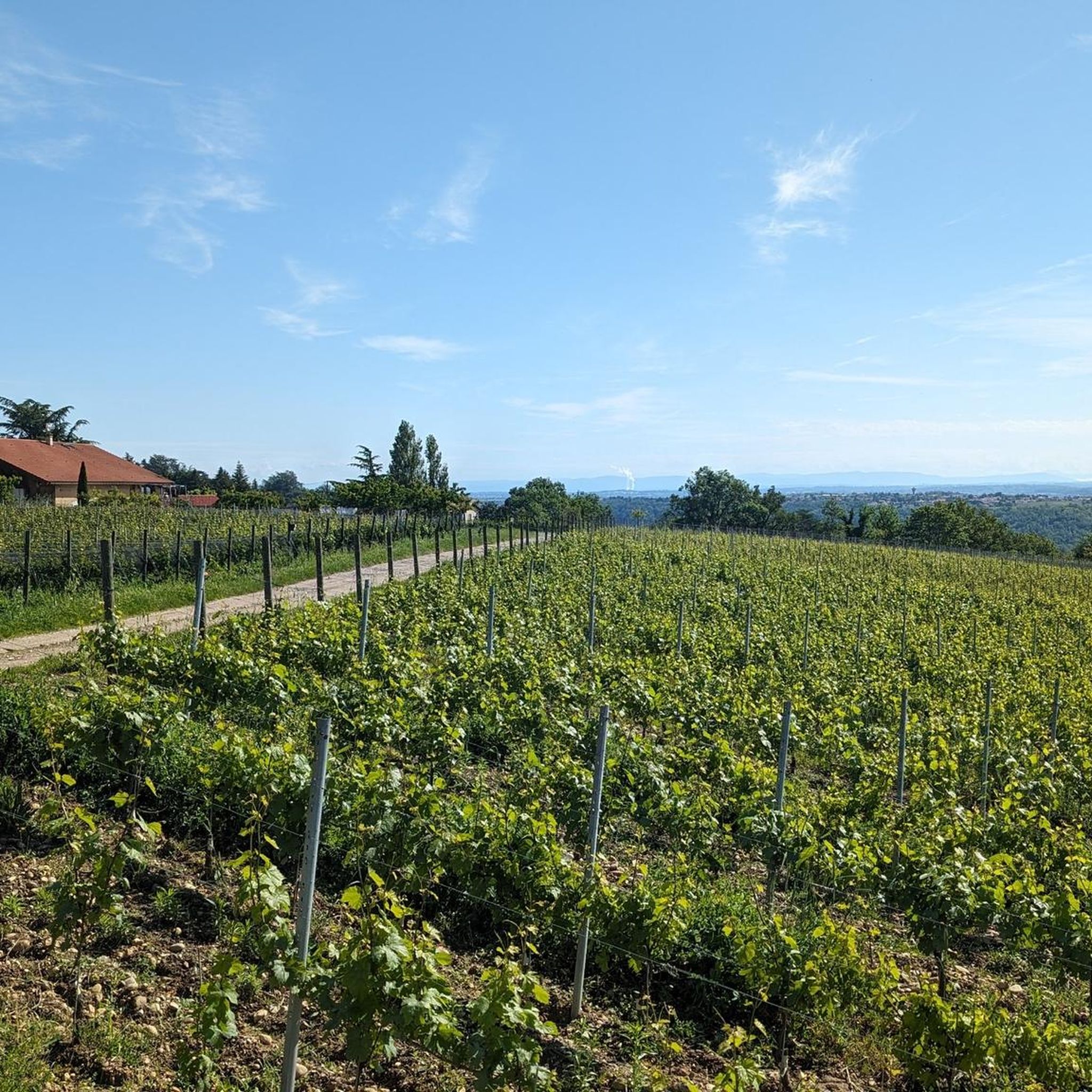
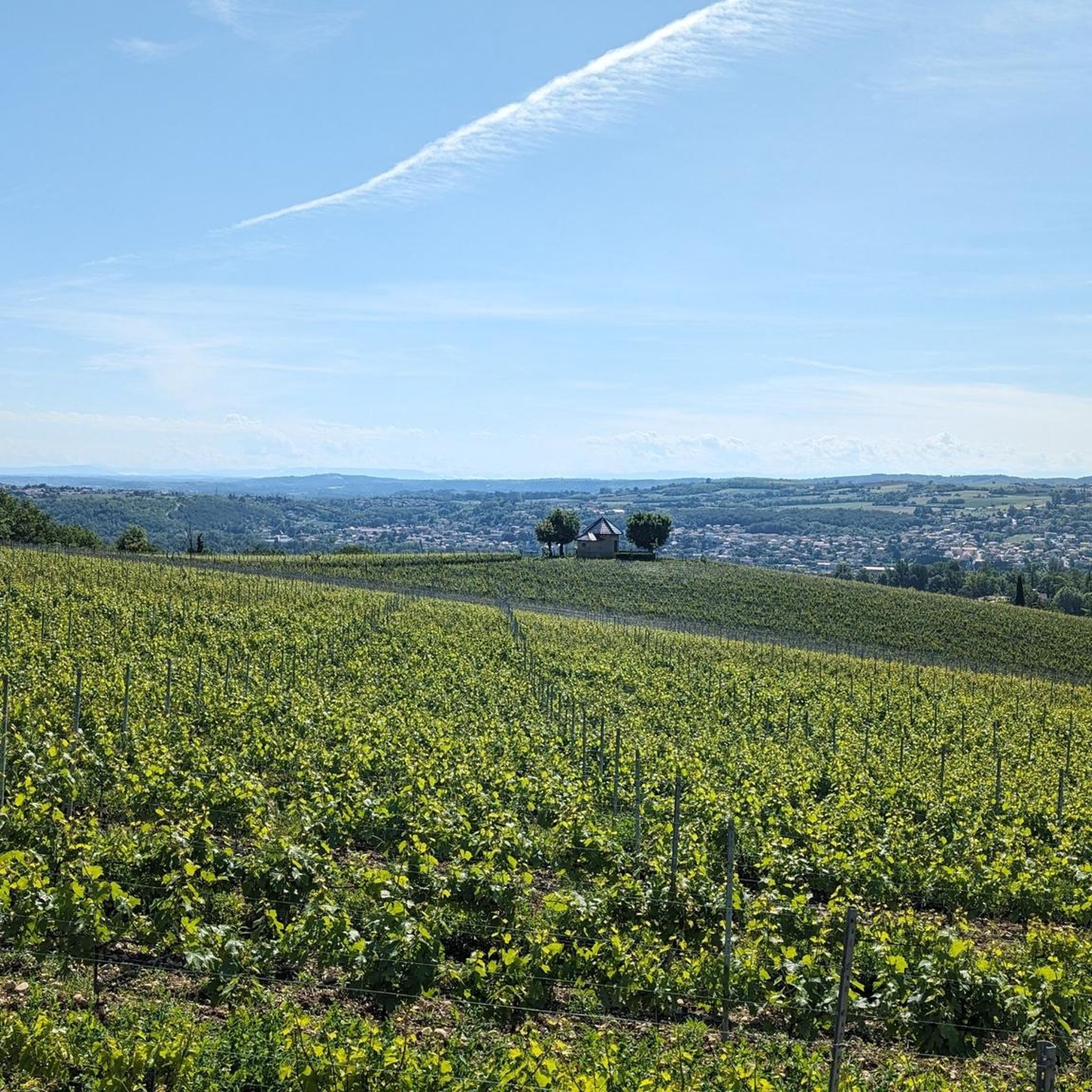
Road cycling around Millery features varied terrain, including rolling hills, expansive vineyards, and elevated viewpoints. The region offers routes with significant elevation gains, such as those leading to passes, alongside more moderate paths. Cyclists can expect a mix of challenging ascents and gentler sections, often providing views of the Rhône valley and nearby towns. The landscape transitions from riverine areas to undulating terrain, with many routes on mostly paved surfaces.
Best road cycling routes around Millery
- The most popular road…
Last updated: October 18, 2026
94
riders
99.8km
04:54
1,400m
1,400m
Hard road ride. Very good fitness required. Mostly well-paved surfaces and easy to ride.
34
riders
64.9km
02:48
460m
460m
Moderate road ride. Good fitness required. Mostly well-paved surfaces and easy to ride.

3.0
(1)
24
riders
21.7km
01:05
340m
340m
Moderate road ride. Good fitness required. Mostly well-paved surfaces and easy to ride.
5.0
(1)
29
riders
25.7km
01:12
320m
320m
Moderate road ride. Good fitness required. Mostly well-paved surfaces and easy to ride.
5.0
(3)
18
riders
22.2km
01:01
210m
210m
Easy road ride. Great for any fitness level. Mostly well-paved surfaces and easy to ride.
Get access to more routes and recommendations from other explorers.
Already have an account?
Our route recommendations are based on thousands of hikes, rides, and runs completed by other people on komoot.
Start today with a free account
Your next adventure awaits.


Tips from the Community

Beautiful city views from the bridge. The place is worth seeing.
0
0
beautiful bridge with great views
0
0

The Condrieu suspension bridge spans the Rhône between the towns of Condrieu in the Rhône department and Les Roches-de-Condrieu in the Isère department. The suspension bridge consists of two spans separated by a central concrete pylon forming an arch, in which the metal suspension cables are anchored. The entrance to the bridge is marked by two concrete pylons that receive the cables on the banks. These are connected to the deck by hangers. The deck, with its metal frame and reinforced concrete cover slab, carries a two-lane, two-way roadway, bordered by sidewalks lined with guardrails. The current Condrieu bridge is the second bridge to be built at this location; it replaces an earlier structure constructed in 1832 and declared to be in very poor condition in 1929. The 1934 work was barely completed when the bridge was closed in June 1940 due to an act of war. A cable ferry was put back into service to restore the river crossing. In spring 2025, due to structural weaknesses, the bridge was closed to traffic for several months while new cables were installed and reinforcement work was carried out.
1
0


Construction began in 1869.
0
0
Take a walk along the marina, very pleasant.
0
1
View from the bridge between Roches de Condrieu and Condrieu.
0
0
Frequently Asked Questions
What kind of terrain can I expect on road cycling routes around Millery?
Road cycling around Millery features varied terrain, including significant climbs towards notable passes like Col de l'Œillon, as well as scenic loops through the surrounding countryside. You'll encounter a mix of challenging ascents and gentler sections, often providing views of the Rhône valley and nearby towns. The landscape transitions from riverine areas to more elevated, undulating terrain.
Are there any easy or beginner-friendly road cycling routes in Millery?
Yes, Millery offers 36 easy road cycling routes suitable for beginners or those looking for a more relaxed ride. While specific beginner routes are not highlighted here, you can find many options on komoot by filtering for 'easy' difficulty.
What are some challenging road cycling routes for experienced riders?
For experienced riders seeking a challenge, Millery has 97 difficult routes. A notable option is the Régis Cross – Col de l'Œillon (1233 m) loop from Vernaison, a 104.3 km route with substantial elevation gain. Another demanding ride is the Vers le col de Bel Air – Croix Régis Climb loop from Vernaison, covering 109.8 km with over 1500 meters of ascent.
Are there any circular road cycling routes around Millery?
Yes, many road cycling routes around Millery are designed as circular loops, allowing you to start and end in the same location. Examples include the moderate Croix Régis Climb – Régis Cross loop from Vernaison and the Vienne – View of Vienne loop from Grigny Le Sablon.
What is the best season for road cycling in Millery?
While specific regional data isn't provided, road cycling in areas with varied terrain like Millery is generally best enjoyed from spring through autumn (April to October). During these months, you can expect more favorable weather conditions, making climbs and longer rides more pleasant. Winter cycling might be possible but could involve colder temperatures and potentially more challenging road conditions, especially at higher elevations.
What kind of views or scenic points can I expect on the routes?
Many routes around Millery offer scenic views, particularly of the Rhône valley and surrounding towns as you gain elevation. The landscape transitions from riverine areas to undulating terrain, providing diverse vistas. Routes like the Vienne – View of Vienne loop from Grigny Le Sablon are specifically noted for their views towards Vienne.
What do other road cyclists say about the routes in Millery?
The road cycling routes in Millery are highly regarded by the komoot community, with an average rating of 4.3 stars from over 380 reviews. Cyclists often praise the varied terrain, the challenging climbs, and the scenic loops that traverse both river valleys and elevated passes.
Are there any interesting landmarks or attractions near the road cycling routes?
Yes, there are several interesting attractions nearby. You might encounter historical sites like the Aqueduc Romain du Gier or the Saint Vincent Chapel. For those interested in modern architecture, the Museum of Confluences and the Raymond Barre Bridge are also within reach.
Are there any lakes or natural areas to explore near the cycling paths?
Yes, the region around Millery features several natural areas and lakes. You could visit Lac de la Madone, which also has the Statue of the Virgin Mary, or explore Boulard Park and Plan d'Eau de la Combe Gibert, offering tranquil spots near the routes.
What is the typical duration for a road cycling route in Millery?
The duration of routes varies significantly based on distance and elevation. Moderate routes like the Régis Cross – Grenouze Pass loop from Grigny Le Sablon (55.7 km) can take around 2 hours 45 minutes, while more difficult and longer routes, such as the Régis Cross – Col de l'Œillon (1233 m) loop from Vernaison (104.3 km), can take over 5 hours.
Most popular attractions around Millery

Get inspired with the komoot mobile app


Explore more
Browse the best Road cycling routes in other regions.
