The best walks and hikes around Étiolles
4.5
(624)
4,048
hikers
347
hikes
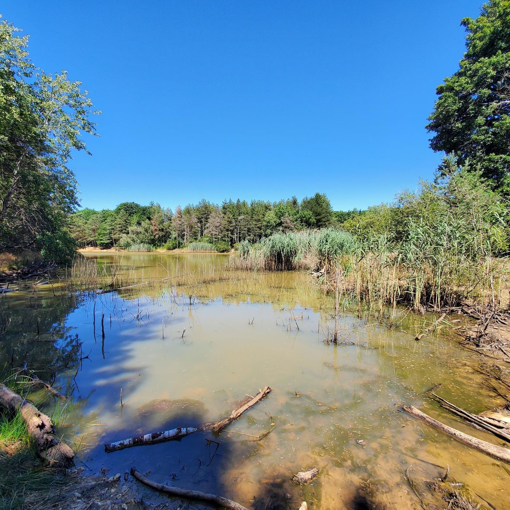
Hiking around Étiolles offers a diverse landscape characterized by contrasting reliefs, including vast plateaus and steep valleys carved by the Seine River and its tributaries. The region features extensive natural areas like the Forêt de Sénart, providing numerous trails through woodlands and past tranquil ponds. This varied topography creates engaging transitions in the terrain, suitable for different hiking experiences.
Best hiking trails around Étiolles
- The most popular hiking route is Sénart State Forest – Pond in Sénart Forest loop from…
Last updated: June 29, 2026
4.8
(4)
28
hikers
16.0km
04:02
20m
20m
Moderate hike. Good fitness required. Easily-accessible paths. Suitable for all skill levels.
5.0
(2)
19
hikers
10.6km
02:45
60m
60m
Moderate hike. Good fitness required. Easily-accessible paths. Suitable for all skill levels.

Sign up for free
5
hikers
20.7km
05:18
80m
80m
Hard hike. Very good fitness required. Easily-accessible paths. Suitable for all skill levels.
9
hikers
3.39km
00:52
20m
20m
Easy hike. Great for any fitness level. Easily-accessible paths. Suitable for all skill levels.
4.1
(7)
47
hikers
Moderate hike. Good fitness required. Easily-accessible paths. Suitable for all skill levels.
Get access to more routes and recommendations from other explorers.
Sign up for free
Already have an account?
Our route recommendations are based on thousands of hikes, rides, and runs completed by other people on komoot.
Start today with a free account
Your next adventure awaits.
Login or Signup


Tips from the Community

ONF will plant a young oak tree in the middle of the Antin oak tree.
0
0
This path is very pleasant without major difficulties.
0
0
It's a nice place to take a break and eat a bar.
0
0

When will it reopen and while we wait for a duly signposted diversion?
0
0

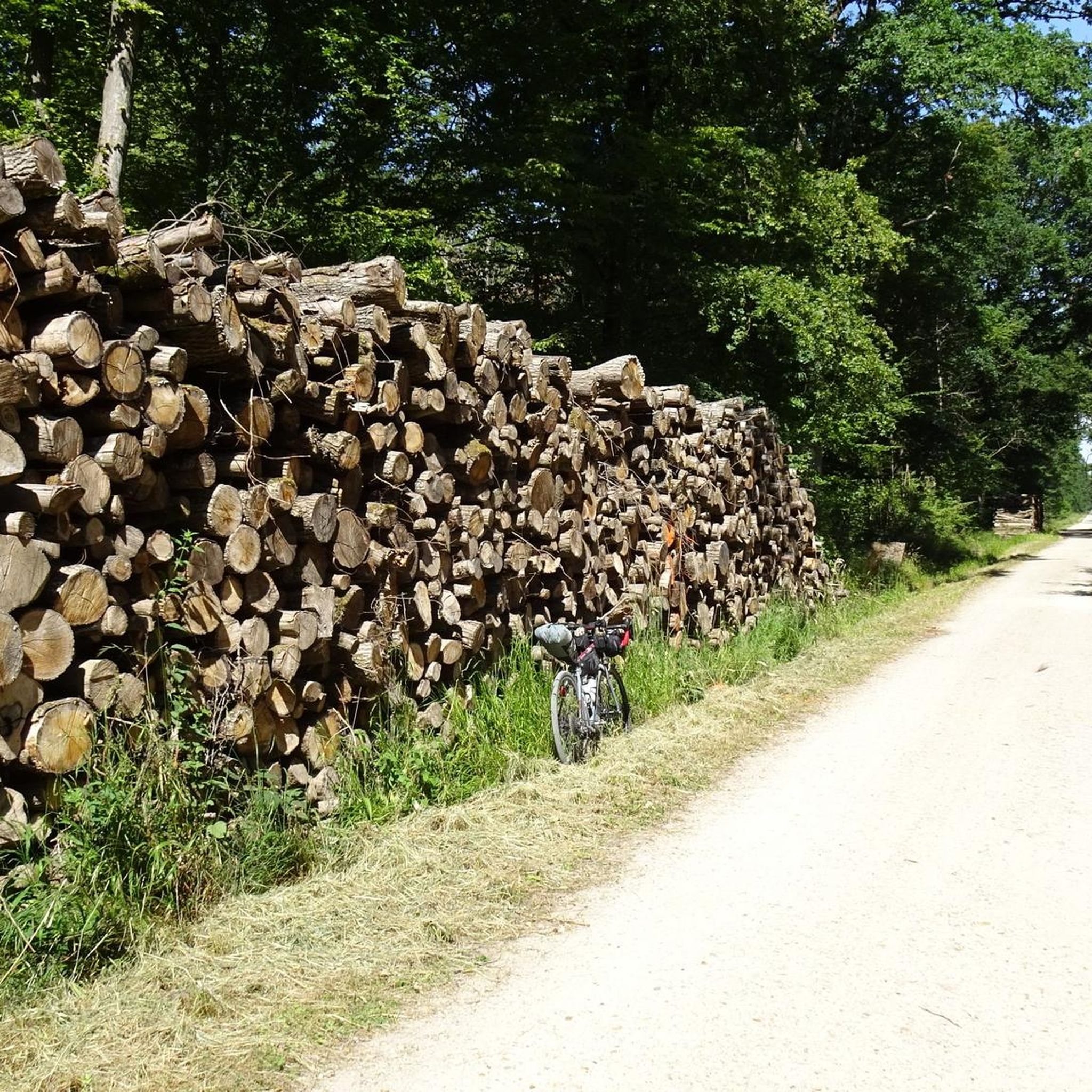
Complicated start and finish of the race (path difficult to navigate for road bikes, and traffic jam on VSG) Middle of the race rather pleasant with long straight and flat sections.
0
0

As you walk along the towpath near the Château de Trousseau, you’ll be transported back in time. This historic château, once a grand residence for French nobility, is now a testament to the region’s rich heritage. As you explore the grounds, you’ll discover centuries-old trees, tranquil ponds and picturesque gardens. The towpath itself offers a peaceful escape, winding alongside the river and offering stunning views of the château and its surroundings.
0
0


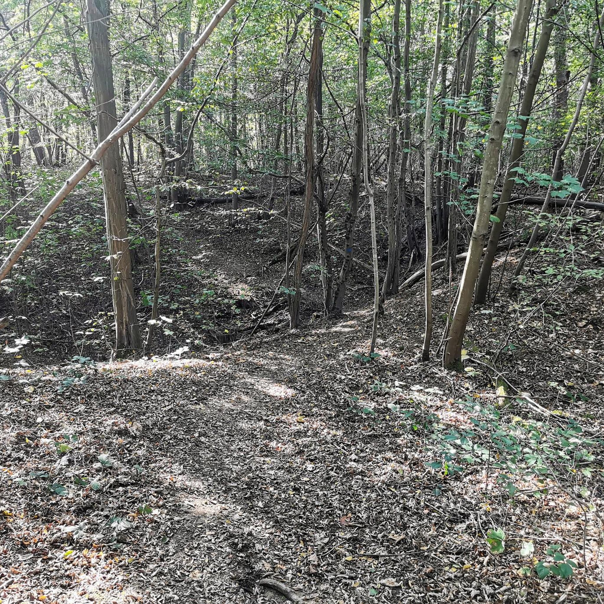
This single mountain bike trail passes through the Bois Normand crossroads, in the heart of the Sénart forest. It offers a technical and stimulating route for mountain bikers. Between winding paths and shaded undergrowth, this route links tight and fun turns. The terrain, varied and sometimes dotted with roots, is ideal for testing your agility.
1
0
Frequently Asked Questions
How many hiking trails are available around Étiolles?
Étiolles offers a wide selection of hiking opportunities, with over 340 trails available. These routes cater to various preferences, including easy strolls, moderate excursions, and some more challenging hikes.
What kind of terrain can I expect on hikes around Étiolles?
The terrain around Étiolles is quite diverse, characterized by contrasting reliefs. You'll find vast plateaus, steep valleys carved by the Seine River, and extensive woodlands within the Forêt de Sénart. This variety provides engaging transitions, from riverside paths to forest trails.
Are there any easy hiking trails suitable for beginners or families?
Yes, Étiolles has many easy trails. For a gentle walk, consider the Tigery lake loop from Tigery, which is just over 3 km long. Many other easy routes are available, often featuring flat paths through forests or along the riverbanks, perfect for a relaxed outing.
What natural features or landmarks can I see along the hiking trails?
Hikers can discover a variety of natural and historical landmarks. The region is known for its extensive Forêt de Sénart, tranquil ponds like Laveyssière Pond, and scenic riverside paths along the Seine. You might also encounter historical sites, as Étiolles is known for its significant Paleolithic archaeological encampments. For specific natural beauty, look for highlights like the Sequoia Avenue at Villeroy Park.
Are there any circular hiking routes in the area?
Yes, many of the trails around Étiolles are designed as circular routes, allowing you to start and end at the same point. Examples include the popular Sénart State Forest – Pond in Sénart Forest loop from Tigery and the Évry Lock loop from Les Champs Elysées, which offers riverside sections.
What do other hikers enjoy most about hiking in Étiolles?
The area is highly rated by the komoot community, with an average score of 4.5 stars from over 500 reviews. Hikers often praise the diverse topography, the peaceful atmosphere of the Forêt de Sénart, and the scenic riverside paths along the Seine, which offer varied and engaging experiences.
Can I bring my dog on the hiking trails around Étiolles?
Generally, dogs are welcome on many trails in the natural areas around Étiolles, including the Forêt de Sénart. However, it's always advisable to keep them on a leash, especially in protected areas or where wildlife is present, to ensure their safety and respect for other trail users and the environment.
Is there public transport or parking available near the trailheads?
Étiolles is accessible, and many trailheads have nearby parking options, particularly around popular areas like the Forêt de Sénart or along the Seine. For public transport, local bus services connect Étiolles to surrounding towns and train stations, which can provide access points to various hiking routes. It's recommended to check local transport schedules for specific trailhead access.
Are there any historical or archaeological sites to explore while hiking?
Yes, Étiolles holds significant archaeological importance. It is the site of remarkably well-preserved Magdalenian encampments, dating back approximately 13,000 years BCE. These Paleolithic sites offer a unique historical dimension to outdoor exploration, allowing hikers to traverse landscapes once inhabited by nomadic hunter-gatherers. You can learn more about these sites via the French Ministry of Culture's archaeological resources: Étiolles Paleolithic encampments.
What is the best time of year to go hiking in Étiolles?
Étiolles offers pleasant hiking conditions throughout much of the year. Spring and autumn are particularly popular, with mild temperatures and beautiful foliage in the forests. Summer provides longer daylight hours, while winter can offer crisp, quiet walks, especially in the woodlands, though some paths might be muddy or icy.
Are there any cafes or restaurants near the hiking routes in Étiolles?
Étiolles and its surrounding towns offer various local amenities, including cafes and restaurants where hikers can refuel. While specific establishments might not be directly on every trailhead, you'll find options in the village centers and nearby areas to enjoy a meal or a drink after your hike.
Most popular attractions around Étiolles

Get inspired with the komoot mobile app


Explore more
Browse the best Hikes in other regions.
