The best walks and hikes around Charantonnay
4.7
(382)
2,053
hikers
172
hikes
Hiking around Charantonnay offers access to the rolling countryside of northern Isère, characterized by pleasant plains and local trails. The village is situated near a pretty pond, contributing to the serene natural ambiance. Its location in the Isère department provides proximity to diverse natural landscapes, including forests, mountain pastures, and unique limestone formations. The region features a network of paths suitable for exploring its varied terrain.
Best hiking trails around Charantonnay
- The most popular hiking route is Étang de By…
Last updated: October 12, 2026
5.0
(4)
25
hikers
9.77km
02:39
140m
140m
Moderate hike. Good fitness required. Easily-accessible paths. Suitable for all skill levels.
4.5
(2)
9
hikers
12.2km
03:22
210m
210m
Moderate hike. Good fitness required. Easily-accessible paths. Suitable for all skill levels.

4.5
(2)
7
hikers
12.5km
03:22
150m
150m
Moderate hike. Good fitness required. Easily-accessible paths. Suitable for all skill levels.
4.0
(3)
6
hikers
14.7km
04:08
290m
290m
Moderate hike. Good fitness required. Easily-accessible paths. Suitable for all skill levels.
6
hikers
16.4km
04:34
310m
310m
Moderate hike. Good fitness required. Easily-accessible paths. Suitable for all skill levels.
Get access to more routes and recommendations from other explorers.
Already have an account?
Our route recommendations are based on thousands of hikes, rides, and runs completed by other people on komoot.
Start today with a free account
Your next adventure awaits.
Tips from the Community

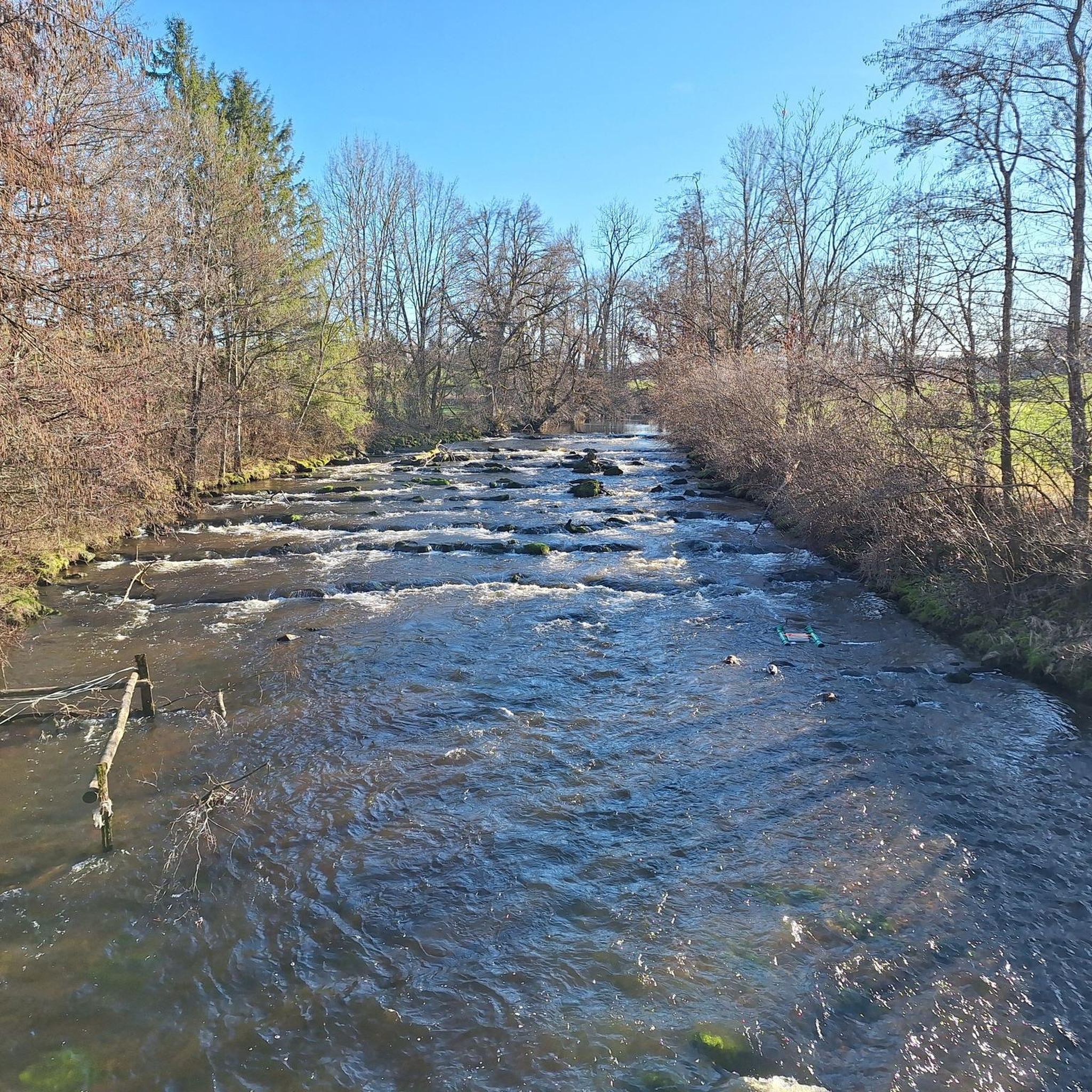
Superb hike🥾🎒. Magnificent view and lots of horses 🐎
1
0

The cemetery is very impressive.
7
0

The church was built in the early nineteenth century using materials from the former Bonnevaux abbey and has recently been restored. There is a very old bell in the church tower and there is a beautiful cemetery next to the church
8
0

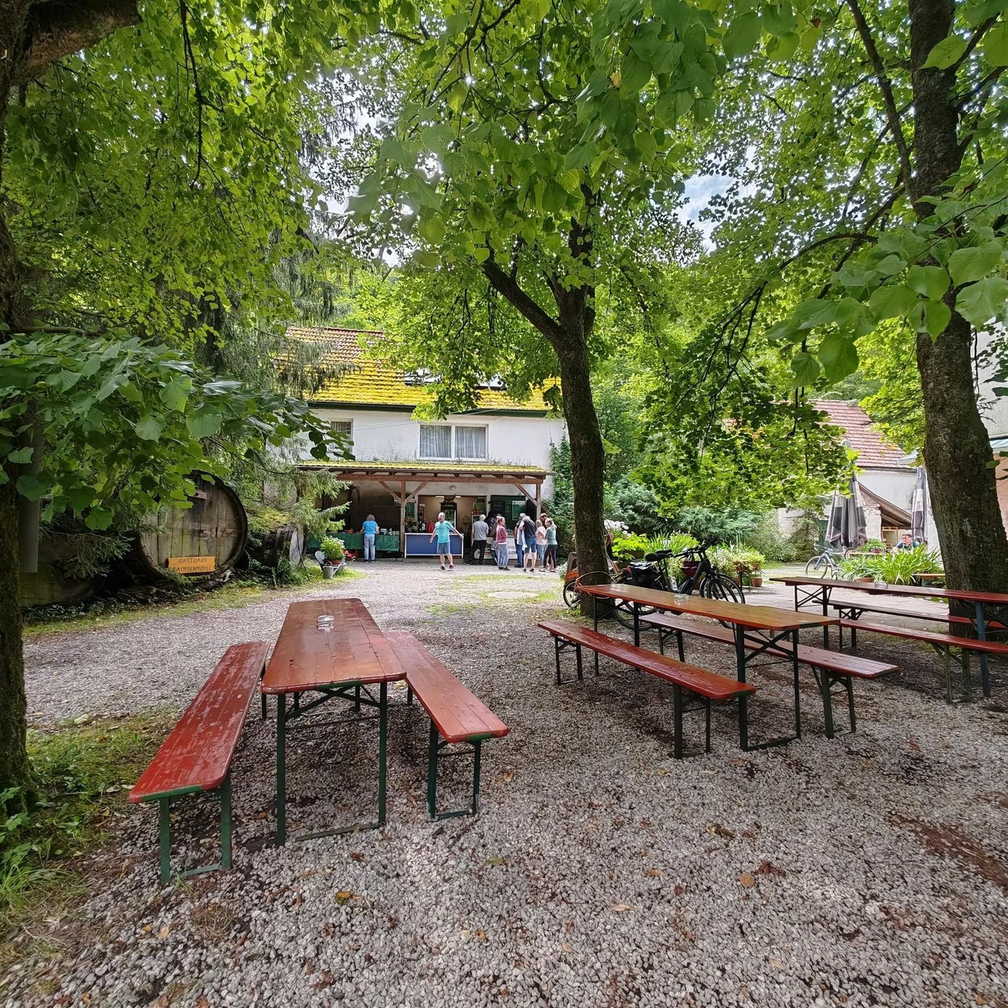
beautiful place for a picnic by the water
0
0
Frequently Asked Questions
How many hiking trails are there around Charantonnay?
There are over 160 hiking routes around Charantonnay, catering to various skill levels. You'll find a diverse network of paths to explore the rolling countryside of northern Isère.
What are the difficulty levels of hikes around Charantonnay?
The trails around Charantonnay offer a range of difficulties. You can find approximately 59 easy routes, 100 moderate routes, and a few more challenging options for experienced hikers.
What kind of landscapes can I expect to see while hiking near Charantonnay?
Hiking near Charantonnay will take you through the picturesque rolling countryside of northern Isère, featuring pleasant plains and local trails. You'll encounter serene ponds, and many routes offer expansive views of distant mountain ranges like the Monts du Lyonnais, the Bugey mountains, and even the Alps, Chartreuse, and Vercors massifs.
Are there any circular walks around Charantonnay?
Yes, Charantonnay is an excellent starting point for circular walks. For example, the The Devil's Stone loop from Charantonnay is a popular moderate 12.5 km path that offers great views. Another option is the Étang de By loop from Saint-Georges-d'Espéranche, which is a 9.8 km moderate route passing by a scenic pond.
Are the hiking trails around Charantonnay suitable for families or children?
Many trails around Charantonnay are suitable for families and children, especially the easier routes that wind through the plains and past local ponds. The region's gentle terrain makes it ideal for leisurely walks with younger hikers.
Can I bring my dog on the hiking trails in Charantonnay?
Generally, dogs are welcome on hiking trails in France, but it's always advisable to keep them on a leash, especially in natural areas to protect wildlife and ensure the safety of other hikers. Specific rules might apply in certain protected zones, so always check local signage.
What is the best time of year to go hiking in Charantonnay?
The spring and autumn months are ideal for hiking in Charantonnay, offering pleasant temperatures and beautiful scenery. Summer can also be enjoyable, especially in the mornings or late afternoons. While winter hiking is possible, be prepared for colder conditions and potentially muddy paths.
Are there places to explore or attractions near the hiking trails?
Yes, the area around Charantonnay offers several interesting attractions. You can visit historical sites like Château de Fallavier, Bonnevaux Castle, or Château de Septème. For nature lovers, Lake Saint-Quentin-Fallavier provides a scenic spot, and the Bourbre Greenway offers additional opportunities for walking and cycling.
Where can I find parking for the hiking trails in Charantonnay?
Many trailheads in and around Charantonnay, especially those starting from the village center or nearby towns like Saint-Georges-d'Espéranche or Artas, typically have designated parking areas. It's recommended to check specific route details on komoot for precise parking information for your chosen hike.
Is public transport available to reach hiking trailheads in Charantonnay?
While Charantonnay is a smaller village, public transport options, primarily bus routes, connect it to larger towns in the Isère department. However, direct access to all trailheads via public transport might be limited. It's best to check local bus schedules for connections from major hubs like Lyon or Grenoble to Charantonnay or nearby villages.
What kind of wildlife might I encounter on the trails around Charantonnay?
While hiking in the broader Isère department, you might encounter a rich diversity of wildlife. This includes larger mammals like ibex, chamois, marmots, and deer, as well as various bird species such as golden eagles and griffon vultures. Keep an eye out for local fauna, especially in quieter, forested areas.
What do other hikers enjoy the most about hiking in Charantonnay?
The hiking routes in Charantonnay are highly rated by the komoot community, with an average score of 4.6 stars from over 280 reviews. Hikers often praise the peaceful rolling countryside, the scenic ponds, and the rewarding views of distant mountain ranges. The variety of trails also makes it a popular choice for different experience levels.
Most popular attractions around Charantonnay

Get inspired with the komoot mobile app


Explore more
Browse the best Hikes in other regions.
