The best MTB trails around Vinay
4.4
(243)
1,572
riders
82
rides
Mountain bike trails around Vinay offer diverse terrain within the Isère region of France. The area is characterized by the riverbanks of the Isère, providing relatively flat paths, alongside rolling hills and cols that present more challenging ascents and descents. This landscape includes rural scenery connecting various villages, making it suitable for varied mountain biking experiences. The region's natural environment supports a range of outdoor pursuits.
Best mountain bike trails around Vinay
- The most popular mountain bike trail is The…
Last updated: October 4, 2026
4.3
(3)
7
riders
33.3km
03:22
1,020m
1,020m
Hard mountain bike ride. Very good fitness required. Advanced riding skills necessary. Some portions of the route may require you to push your bike.
4.0
(1)
5
riders
41.4km
03:28
830m
830m
Moderate mountain bike ride. Good fitness required. Advanced riding skills necessary.

3.7
(3)
5
riders
38.5km
03:18
870m
870m
Moderate mountain bike ride. Good fitness required. Advanced riding skills necessary.
11
riders
27.7km
01:31
110m
110m
Easy mountain bike ride. Great for any fitness level. Suitable for all skill levels.
4
riders
28.0km
02:03
310m
310m
Moderate mountain bike ride. Good fitness required. Advanced riding skills necessary.
Get access to more routes and recommendations from other explorers.
Already have an account?
Our route recommendations are based on thousands of hikes, rides, and runs completed by other people on komoot.
Start today with a free account
Your next adventure awaits.

Tips from the Community

The waterfalls of the Gorges du Gorgonnet flow all year round, even in summer. You can cool off in the pool below the waterfall and cross the stream. A footbridge allows you to cross if you don't want to get wet.
0
0
This path has largely been carved into the rock, possibly to carry out the work of laying the penstock that runs alongside it. It overlooks a beautiful canyon
1
0

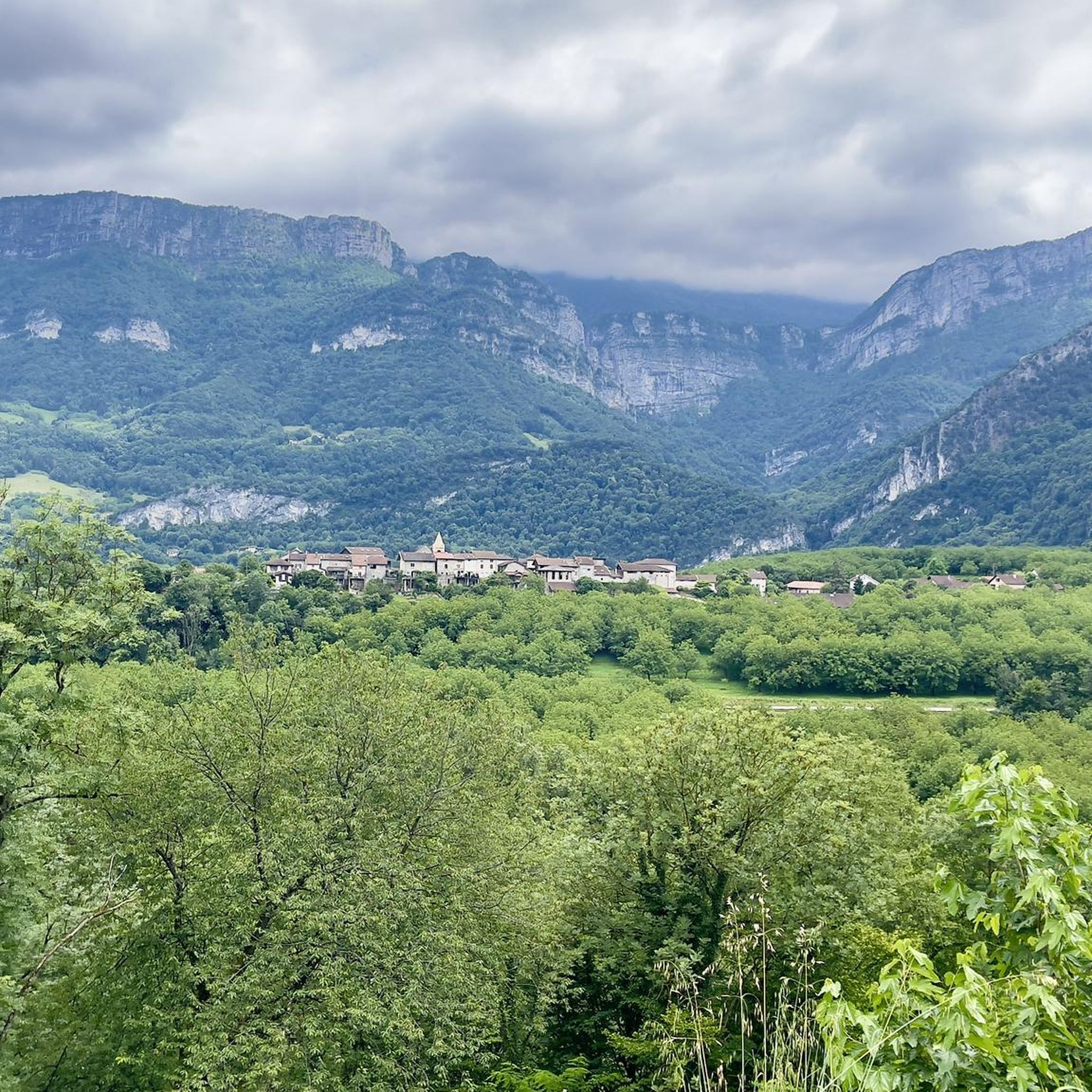
This small rural village of about 600 inhabitants (the Rovonnais and Rovonnaises) is ideally located at the foot of the Vercors massif.
0
0
La Véloroute de l'Isère, officially integrated into the national route La Belle Via (referenced under number V63), is a cycling route of over 200 kilometers that runs along the Isère river. It connects the foothills of Savoie to the Drôme (connection with ViaRhôna), by crossing the entire department of Isère and its capital, Grenoble.
0
0
The La Véloroute de l'Isère, officially integrated into the national route La Belle Via (referenced under number V63), is a cycling route of over 200 kilometers that runs along the Isère river. It connects the foothills of Savoie to the Drôme (connection with ViaRhôna), by crossing the entire department of Isère and its capital, Grenoble.
0
0
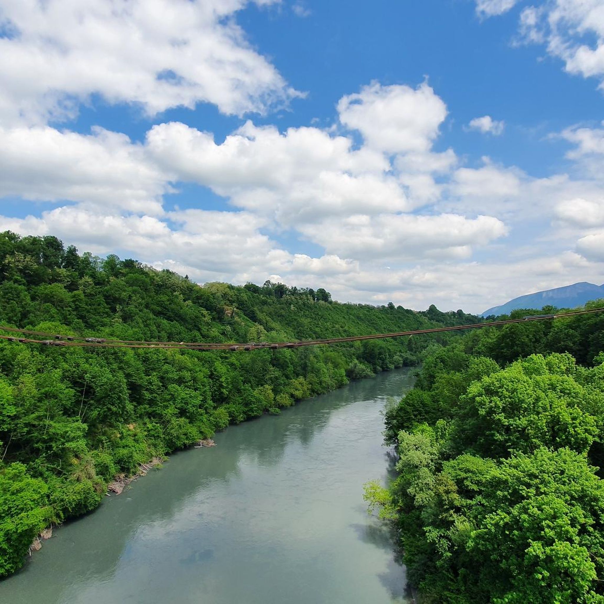
La Belle Via (Green Way): The bridge is an unmissable landmark for cyclists. A flat and shaded cycle route, the Green Way from Saint-Gervais to Pont-d'Oxford, follows the Isère river up to its confluence with the Drac, offering a superb view of the cliffs.
0
0
It is a reinforced concrete "Bow-string" bridge. Designed by the Parisian engineering firm Pelnard-Considère, its construction took place between 1950 and 1952 to replace a previous structure, relying on nearly 150 foundation piles for each abutment.
0
0
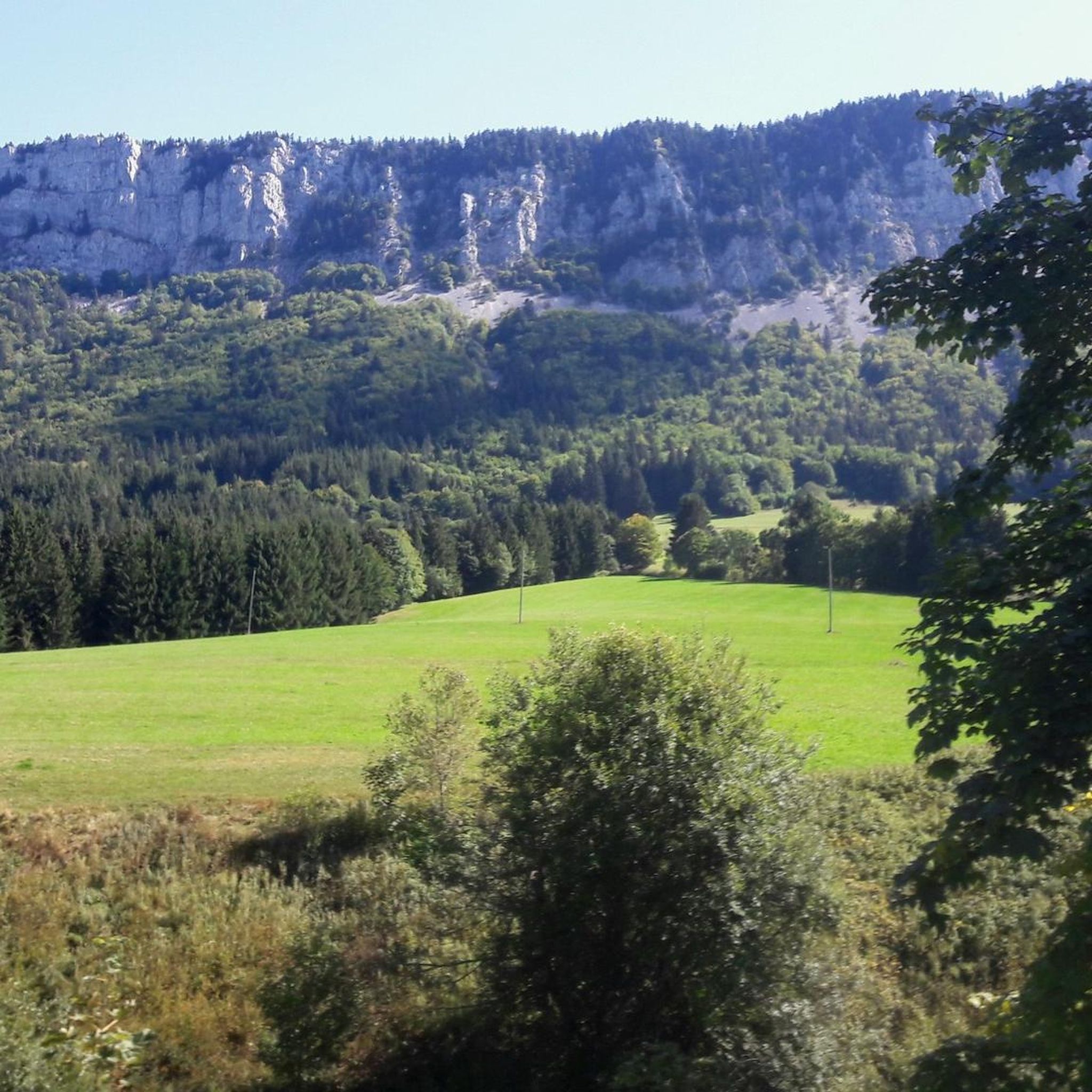
Considered by local cyclists to be the most demanding pass in the Chambarans, it mainly connects the Isère valley to the municipality of La Forteresse.
0
0
Frequently Asked Questions
How many mountain bike trails are available around Vinay?
There are over 50 mountain bike trails around Vinay, offering a wide range of experiences. You'll find routes suitable for various skill levels, from easier riverside paths to more challenging ascents through the region's rolling hills.
Are there mountain bike trails suitable for beginners or families in Vinay?
Yes, Vinay offers several options for less experienced riders and families. While many routes involve significant elevation, there are at least 5 easy trails available. The riverbanks of the Isère, for example, provide scenic and relatively flat paths, ideal for a more relaxed ride.
What kind of terrain can I expect on mountain bike trails near Vinay?
The terrain around Vinay is quite varied. You can expect scenic paths along the riverbanks of the Isère, as well as rolling hills and cols that present more challenging ascents and descents. The region features a mix of rural scenery connecting various villages, offering diverse landscapes for mountain biking.
What do other mountain bikers enjoy most about the trails in Vinay?
The mountain bike trails around Vinay are highly rated by the komoot community, with an average score of 4.5 stars from over 130 reviews. Riders often praise the varied terrain, from challenging climbs to scenic descents, and the beautiful rural landscapes that connect different villages.
Are there any circular mountain bike routes in Vinay?
Yes, many of the mountain bike routes around Vinay are designed as loops. For example, you could try Talus orientation table. loop from Varacieux, a 43.1 km trail that takes you through rural landscapes, or The Statue Trail – Col de Châtain (684 m) loop from Beaulieu, a moderate 38.6 km route.
What are some notable landmarks or scenic viewpoints I can find along the trails?
The region around Vinay offers several interesting points. You might encounter natural features like the Gorges du Nan or mountain passes such as Col de Romeyère and Col de Mont Noir (1431m). These often provide rewarding views after a climb.
Are there any trails that pass by river features or gorges?
Yes, the region is characterized by the Isère river. You can find routes that run along its banks, offering scenic views. The Gorges du Nan – Bridge over the Isère loop from L'Albenc is a moderate 39.6 km trail that specifically highlights these natural features, including the impressive Gorges du Nan.
What is the best season for mountain biking in Vinay?
The Isère region generally offers good conditions for mountain biking from spring through autumn. While specific seasonal closures aren't detailed, the varied terrain suggests that milder weather would be most enjoyable, allowing you to fully appreciate both the riverside paths and the higher, more exposed cols.
Are there any challenging mountain bike trails for experienced riders?
Absolutely. Vinay is home to 20 difficult mountain bike trails. Routes like The Statue Trail – Very nice place with canyon loop from Chantesse, a 33.0 km trail with significant elevation gain, or View From Cras Church – Very nice place with canyon loop from Cras, a 15.8 km path with panoramic views and a challenging climb, are popular among experienced mountain bikers.
How long do mountain bike rides typically take in Vinay?
The duration of mountain bike rides in Vinay varies greatly depending on the trail's length and difficulty. For instance, a difficult 33.0 km trail like The Statue Trail – Very nice place with canyon loop from Chantesse can take around 3 hours 26 minutes, while a longer 43.1 km difficult route such as Talus orientation table. loop from Varacieux might take about 4 hours 26 minutes. There are also shorter and easier options available.
Most popular attractions around Vinay

Get inspired with the komoot mobile app


Explore more
Browse the best MTB trails in other regions.
