The best walks and hikes around Chaponost
4.2
(178)
1,215
hikers
48
hikes
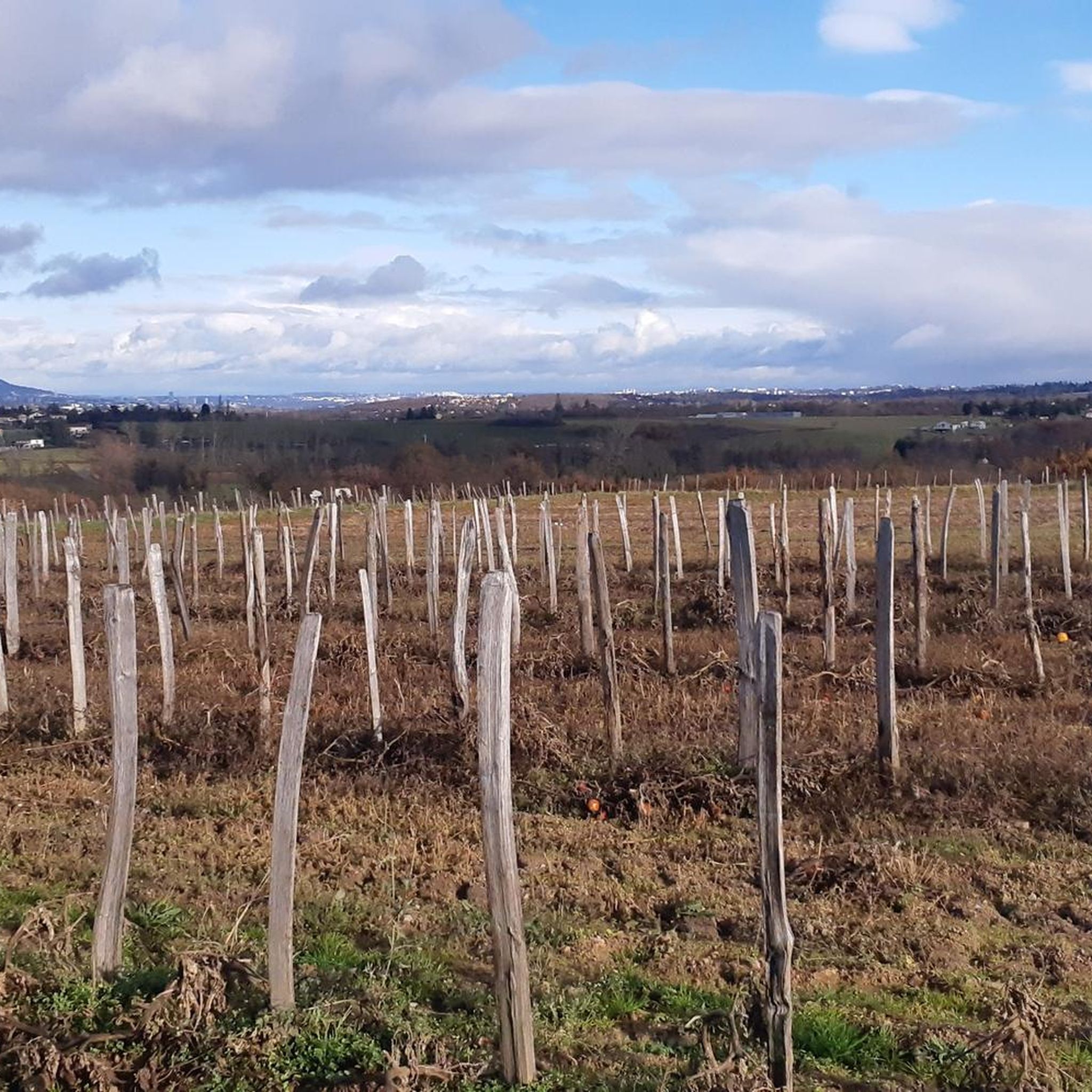
Hiking around Chaponost offers diverse natural features and historical attractions, situated near the Lyonnais mountains. The region is characterized by a semi-mountain atmosphere, featuring valleys and the historical Roman Aqueduct of Gier. Trails often traverse varied landscapes, including areas around the Garon River and local heritage sites.
Best hiking trails around Chaponost
- The most popular hiking route is Aqueduc de Chaponost et l'étang du Boulard – loop, an easy 3.4 miles (5.4 km) trail that takes 1 hour 28…
Last updated: October 12, 2026
4.4
(27)
69
hikers
5.41km
01:28
70m
70m
Easy hike. Great for any fitness level. Easily-accessible paths. Suitable for all skill levels.
4.8
(20)
113
hikers
11.1km
02:59
140m
140m
Moderate hike. Good fitness required. Easily-accessible paths. Suitable for all skill levels.

4.5
(10)
56
hikers
11.4km
03:06
160m
160m
Moderate hike. Good fitness required. Mostly accessible paths. Sure-footedness required.
4.8
(6)
66
hikers
6.43km
01:56
170m
170m
Moderate hike. Great for any fitness level. Mostly accessible paths. Sure-footedness required.
4.0
(5)
40
hikers
7.15km
01:58
110m
110m
Easy hike. Great for any fitness level. Easily-accessible paths. Suitable for all skill levels.
Get access to more routes and recommendations from other explorers.
Already have an account?
Our route recommendations are based on thousands of hikes, rides, and runs completed by other people on komoot.
Start today with a free account
Your next adventure awaits.
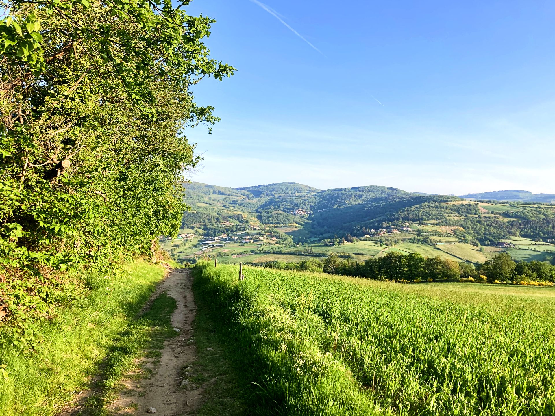
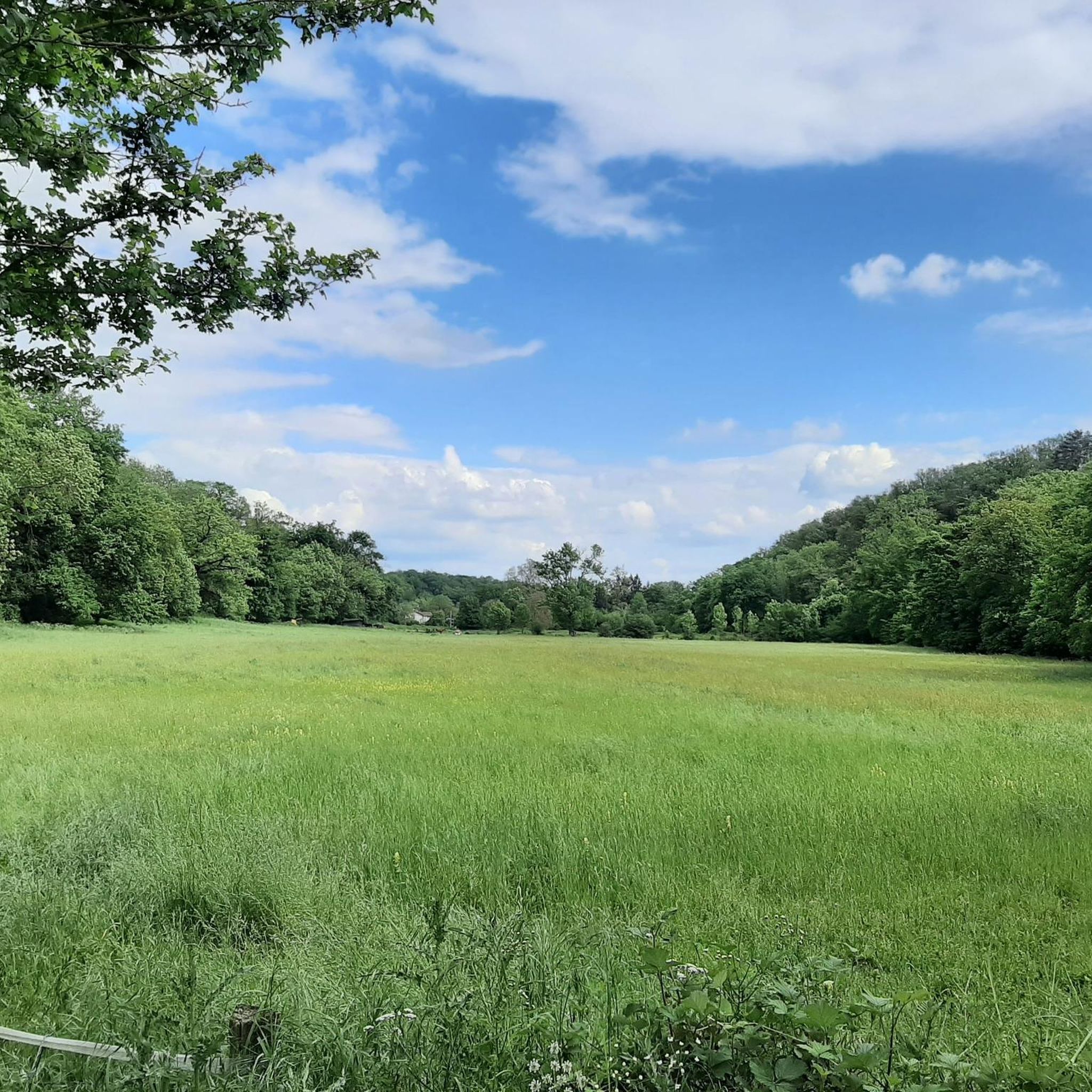
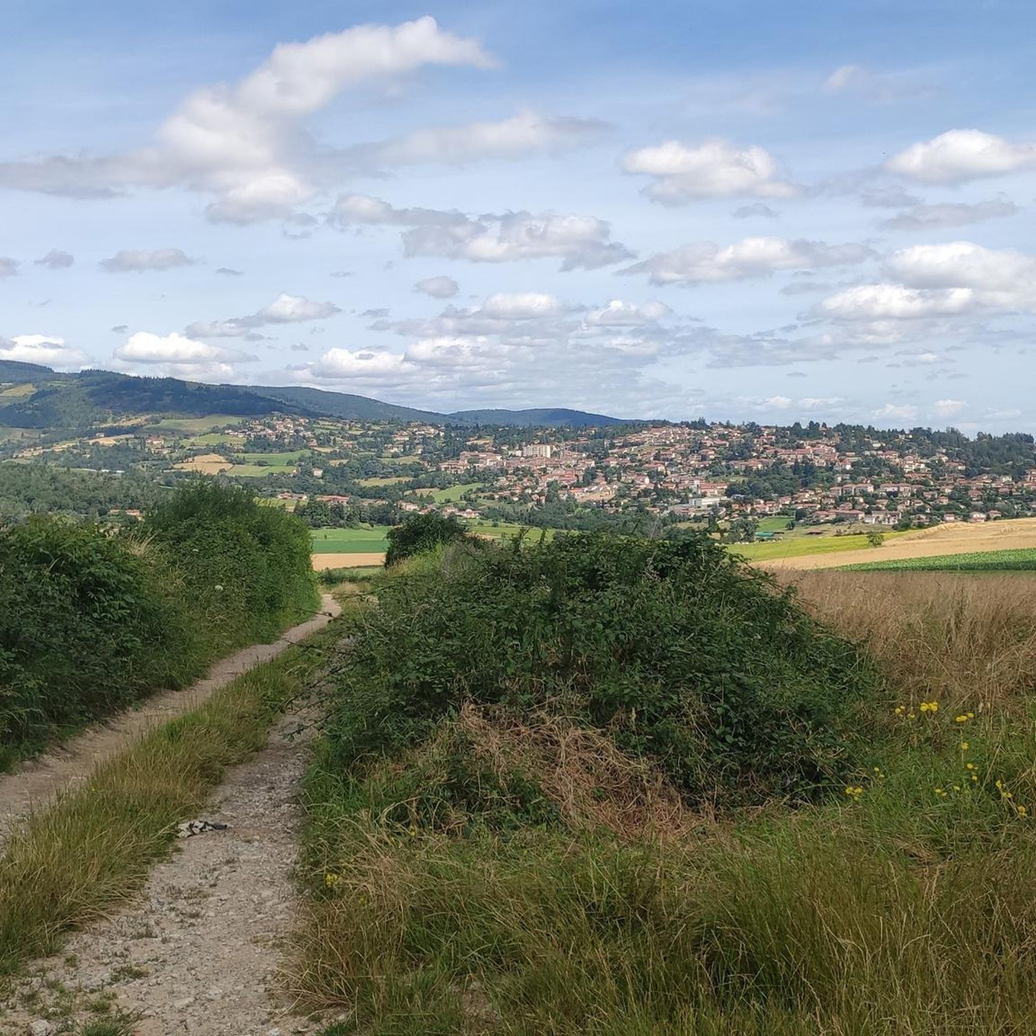

Other adventures around Chaponost

Tips from the Community

It's not just the washhouse, the site and the path leading to it are superb, you must continue the path after the washhouse.
0
0

A horror. Impassable by bike, even electric...
0
0
Nice outing but very brittle 🥵
0
0

very impressive
0
0

The Gier Aqueduct is one of the aqueducts that supplied Lugdunum with water. Capturing water from the Gier at Saint-Chamond, in the Loire, it transported water over 86 km to Fourvière. Several remains are still visible today, among others in the towns of Brignais and Chaponost. On the Plat de l'Air Site, you will discover 72 arches still standing out of the 92 that carried the canal in Roman times. You will understand, thanks to the remains on site (flushing tank and rampant) how the Yzeron siphon worked, allowing you to cross the Yzeron Valley, one of the many natural obstacles to have stood in the way of the aqueduct. This site, listed since 1900, which invites you to take a beautiful journey through time, is worth the detour!
3
0

In good weather, superb view of the pre-Alps with Bugey, Chartreuse and Vercors
0
0

The washhouse of Montaland Castle is nestled in the heart of a green setting. This small stone building, located near a natural spring, bears witness to the importance of water in daily life in the past. Accessible via a pleasant path, the washhouse is surrounded by lush vegetation.
0
0
Frequently Asked Questions
How many hiking trails are available around Chaponost?
There are over 45 hiking trails around Chaponost, offering a wide range of options for different preferences and fitness levels. These include 26 easy routes and 19 moderate trails, ensuring there's something for everyone.
What kind of landscapes can I expect to see while hiking near Chaponost?
Hiking around Chaponost offers a diverse 'semi-mountain atmosphere' with varied landscapes. You'll encounter parts of the ancient Roman Aqueduct of Gier, traverse river valleys like the Garon, and experience the surrounding Lyonnais mountains. The area features a mix of natural scenery and historical sites.
Can I see the Roman Aqueduct of Gier on a hike?
Yes, the Roman Aqueduct of Gier is a significant historical feature in the area. You can explore its impressive vestiges, particularly on routes like the Aqueduc de Chaponost et l'étang du Boulard – loop. The Site du Plat de l'Air in Chaponost still features 72 standing arches, offering a remarkable glimpse into Roman engineering.
Are there any heritage trails to explore in Chaponost?
Yes, the Sentier découverte du patrimoine de Chaponost is a dedicated loop trail that allows you to explore the local heritage. Along this route, you can discover historical sites such as the castle gate, a wash house, a windmill, and traditional country houses. It also provides facilities like a picnic area and public restrooms.
Are the hiking trails around Chaponost suitable for families with children?
Many trails around Chaponost are suitable for families, especially the 26 easy routes available. The Aqueduc de Chaponost et l'étang du Boulard – loop, for instance, is an easy 3.4-mile (5.4 km) trail that features historical aqueduct sections and a pond, making it an engaging option for younger hikers.
Can I bring my dog on the trails in Chaponost?
While specific regulations for dogs on every trail are not detailed, generally, dogs are welcome on many outdoor trails in France, often on a leash. It's always recommended to keep your dog under control and to check for any local signage regarding pet restrictions, especially in nature reserves or protected areas.
What do other hikers enjoy most about hiking in Chaponost?
The hiking routes in Chaponost are highly rated by the komoot community, with an average score of 4.2 stars from over 130 reviews. Hikers often praise the combination of historical Roman aqueduct vestiges, the peaceful river valleys, and the scenic views of the surrounding Lyonnais mountains.
Are there any circular hiking routes in Chaponost?
Yes, many of the trails around Chaponost are designed as loops, offering convenient circular routes. Examples include the popular Aqueduc de Chaponost et l'étang du Boulard – loop and the Thurins–Chaponost Route – Garon Bridge loop from Lyon, which allows you to explore the Garon River valley.
What are some notable viewpoints or natural features to discover?
Beyond the Roman Aqueduct, you can find several interesting points. The Col de la Luère, situated in the Lyonnais mountains, offers panoramic views. The area also features the Garon River, which is central to routes like the Ancient Stone Ruins – Along the Garon River loop from Lyon, providing picturesque riverside scenery.
Are there any amenities like picnic areas or restrooms along the trails?
The Sentier découverte du patrimoine de Chaponost is known to offer facilities such as a picnic area and public restrooms, making it a convenient option for a day out. For other trails, it's advisable to carry your own provisions and be prepared for natural settings.
What is the best time of year to go hiking in Chaponost?
Chaponost, with its 'semi-mountain atmosphere,' is generally pleasant for hiking during spring, summer, and autumn. Spring brings blooming nature, while autumn offers beautiful foliage. Summer is also suitable, though it's always wise to check local weather forecasts and plan for hydration, especially on longer routes.
Most popular routes around Chaponost
Most popular attractions around Chaponost

Get inspired with the komoot mobile app


Explore more
Browse the best Hikes in other regions.
