The best walks and hikes around Guiscard
4.3
(78)
378
hikers
99
hikes
Hiking around Guiscard, France, offers a network of trails primarily through woodlands and agricultural landscapes. The region is characterized by its gentle, rolling terrain with minimal elevation changes, making it suitable for accessible walks. Paths often traverse forested areas and open fields, providing a tranquil outdoor experience.
Best hiking trails around Guiscard
- The most popular hiking route is Bois de la garenne – Bois des bouleaux loop from Muirancourt, a 4.3 miles (6.9 km) trail that takes 1 hour 48 minutes to complete. This route explores local woodlands and open countryside.
- Another top favourite among local hikers is Cave – View of Tarlefesse loop from Communauté de communes du Pays Noyonnais, an easy 4.0 miles (6.4 km) path. It offers views across the landscape near Communauté de communes du Pays Noyonnais.
- Local hikers also love the Beaurains 1 loop from Genvry, a 3.3 miles (5.3 km) trail leading through rural areas, often completed in about 1 hour 24 minutes.
- Hiking around Guiscard is defined by dense woodlands and open agricultural fields, with routes offering gentle gradients. The network provides options for various ability levels, from easy strolls to moderate excursions.
- The routes in Guiscard are highly rated by the komoot community with an average score of 4.6 stars from over 70 reviews. More than 300 hikers have used komoot to explore Guiscard's varied terrain.
Last updated: October 16, 2026
4.3
(4)
14
hikers
6.86km
01:48
50m
50m
Easy hike. Great for any fitness level. Easily-accessible paths. Suitable for all skill levels.
5.0
(3)
13
hikers
Easy hike. Great for any fitness level. Easily-accessible paths. Suitable for all skill levels.

4.0
(1)
5
hikers
5.33km
01:24
40m
40m
Easy hike. Great for any fitness level. Easily-accessible paths. Suitable for all skill levels.
4.0
(1)
5
hikers
5.12km
01:20
40m
40m
Easy hike. Great for any fitness level. Easily-accessible paths. Suitable for all skill levels.
5.0
(2)
3
hikers
14.6km
03:55
170m
170m
Moderate hike. Good fitness required. Easily-accessible paths. Suitable for all skill levels.
Get access to more routes and recommendations from other explorers.
Already have an account?
Our route recommendations are based on thousands of hikes, rides, and runs completed by other people on komoot.
Start today with a free account
Your next adventure awaits.
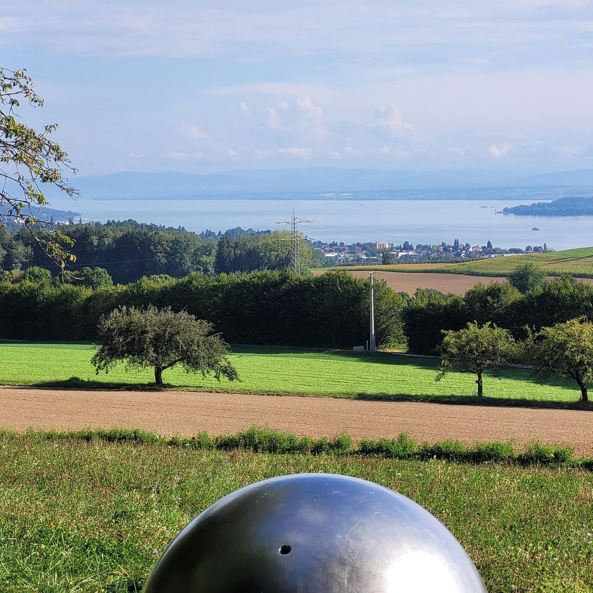



Tips from the Community


Frequently Asked Questions
How many hiking trails are available around Guiscard?
There are over 100 hiking routes recorded around Guiscard on komoot, offering a wide range of options for exploring the local area. These include 43 easy routes, 54 moderate routes, and a few more challenging trails.
What is the typical terrain like for hiking near Guiscard?
The terrain around Guiscard is characterized by gentle, rolling landscapes, primarily traversing woodlands and open agricultural fields. Elevation changes are minimal, making most routes suitable for accessible walks and leisurely strolls.
Are there options for different hiking abilities in Guiscard?
Yes, the hiking network around Guiscard caters to various ability levels. You'll find numerous easy strolls through tranquil woodlands and fields, as well as moderate excursions. There are 43 easy routes and 54 moderate routes available.
What is the average length and duration of hikes in Guiscard?
Hikes around Guiscard vary in length, with many popular routes ranging from 3 to 7 kilometers (2 to 4.5 miles). For example, the Bois de la garenne – Bois des bouleaux loop from Muirancourt is 6.9 km and takes about 1 hour 48 minutes, while the Beaurains 1 loop from Genvry is 5.3 km and typically takes 1 hour 24 minutes.
Are there any circular hiking routes around Guiscard?
Yes, many of the trails around Guiscard are designed as circular routes, allowing you to start and end at the same point. Examples include the Bois de la garenne – Bois des bouleaux loop from Muirancourt and the Cave – View of Tarlefesse loop from Communauté de communes du Pays Noyonnais.
Are the hiking trails around Guiscard suitable for families?
Given the gentle gradients and minimal elevation changes, many of the easy and moderate trails around Guiscard are well-suited for families. These routes often pass through woodlands and open fields, providing a pleasant environment for walks with children.
Are there dog-friendly hiking options in Guiscard?
While specific regulations can vary, the general nature of the trails through woodlands and agricultural areas often makes them suitable for walks with dogs, provided they are kept under control. Always check local signage for any specific restrictions, especially in nature reserves or near livestock.
What can I see along the hiking trails or nearby Guiscard?
While the immediate trails focus on natural landscapes, there are notable attractions nearby. You could visit the historic Notre-Dame de Noyon Cathedral, the Noyon War Memorial, or the natural monument La Pierre Linotte. These are generally a short drive from the hiking areas.
What do other hikers enjoy the most about hiking in Guiscard?
The hiking routes around Guiscard are highly rated by the komoot community, with an average score of 4.6 stars from over 70 reviews. Hikers often praise the tranquil atmosphere of the woodlands and open countryside, as well as the accessibility of the trails for various fitness levels.
Is public transport available to reach trailheads near Guiscard?
Information on specific public transport links directly to trailheads in the rural areas around Guiscard is limited. It is generally recommended to travel by car to access many of the starting points for these hikes, especially for flexibility.
Are there any viewpoints or scenic spots on the hikes around Guiscard?
Many trails offer pleasant views across the agricultural landscape and through dense woodlands. For instance, the Cave – View of Tarlefesse loop from Communauté de communes du Pays Noyonnais is specifically noted for its views across the landscape.
What is the best time of year to hike around Guiscard?
The gentle terrain makes hiking around Guiscard enjoyable for much of the year. Spring and autumn offer pleasant temperatures and beautiful scenery with changing foliage. Summer is also suitable, though it can be warmer, while winter hikes are possible, but trails may be muddy or frosty.
Most popular attractions around Guiscard

Get inspired with the komoot mobile app


Explore more
Browse the best Hikes in other regions.
