The best running trails around Vernou-La-Celle-Sur-Seine
4.5
(153)
7,047
runners
16
runs
Jogging around Vernou-La-Celle-Sur-Seine offers a rural setting with varied terrain for outdoor exercise. The commune features the Mont de Vernou, a prominent hill reaching 146 meters, providing elevated routes with alternating forest and countryside sequences. Situated on the right bank of the Seine river, the area also presents opportunities for riverside running. The landscape is characterized by diverse forest and countryside environments, including the charming valley of the ru Flavien.
Best jogging routes around Vernou-La-Celle-Sur-Seine
- The most popular jogging route…
Last updated: October 19, 2026
3
runners
18.1km
01:57
140m
140m
Hard run. Very good fitness required. Mostly paved surfaces. Suitable for all skill levels.
2
runners
10.3km
01:10
90m
90m
Moderate run. Good fitness required. Mostly paved surfaces. Suitable for all skill levels.

3
runners
7.23km
00:46
70m
70m
Moderate run. Good fitness required. Mostly paved surfaces. Suitable for all skill levels.
3
runners
11.4km
01:12
110m
110m
Moderate run. Good fitness required. Mostly paved surfaces. Suitable for all skill levels.
5
runners
12.5km
01:23
110m
110m
Moderate run. Good fitness required. Mostly paved surfaces. Suitable for all skill levels.
Get access to more routes and recommendations from other explorers.
Already have an account?
Our route recommendations are based on thousands of hikes, rides, and runs completed by other people on komoot.
Start today with a free account
Your next adventure awaits.
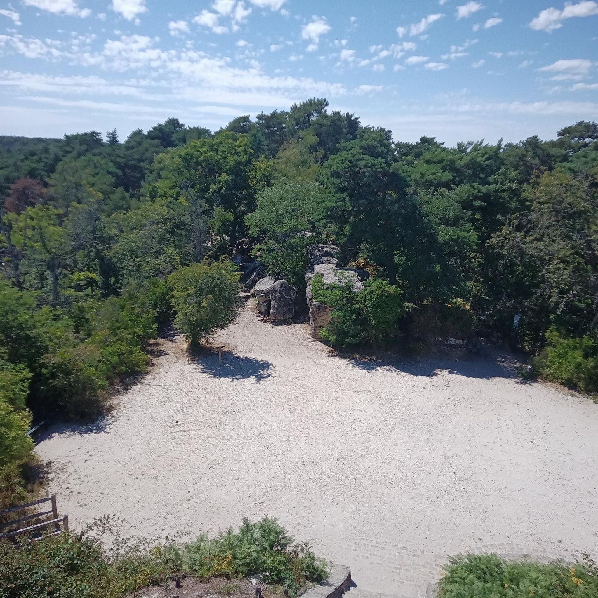
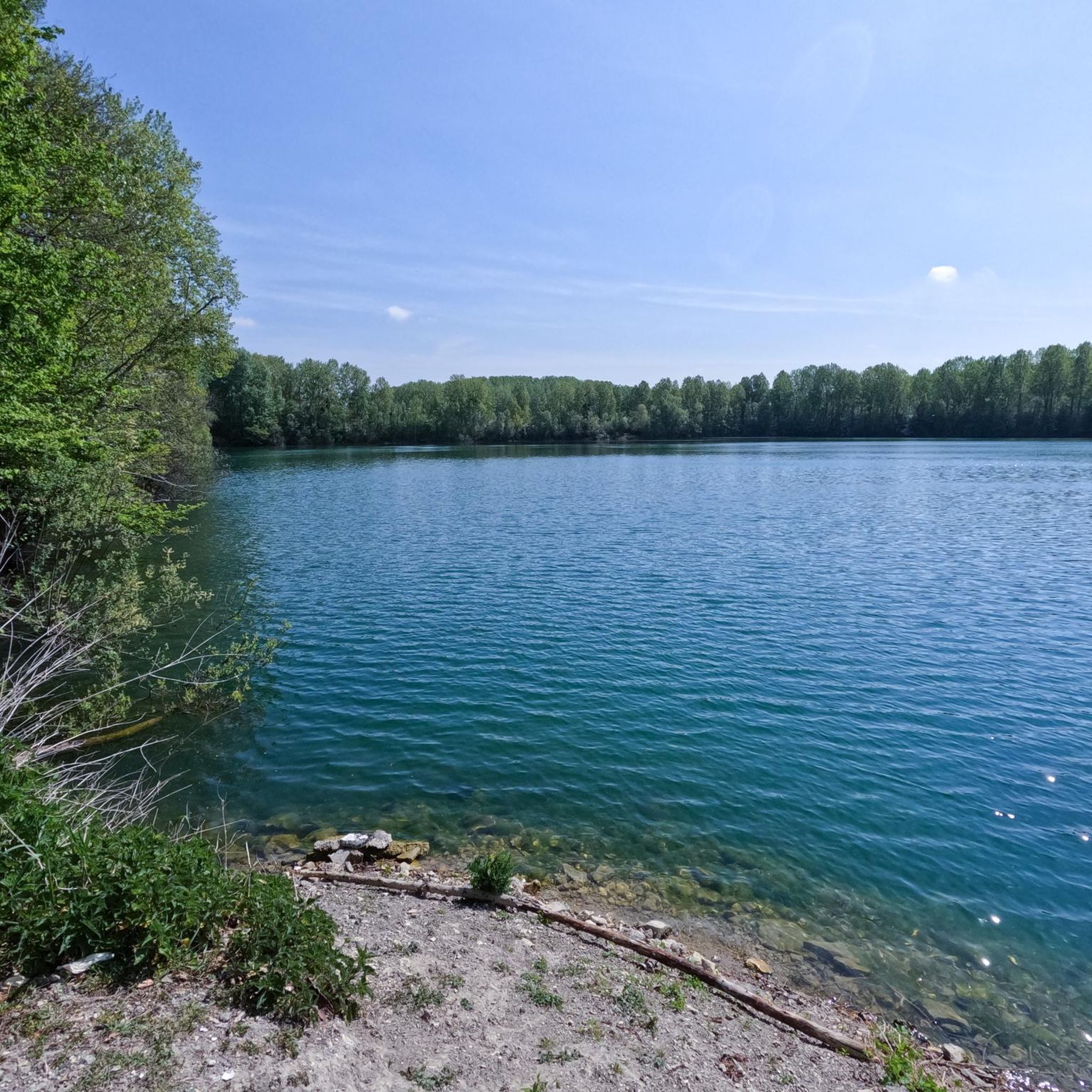
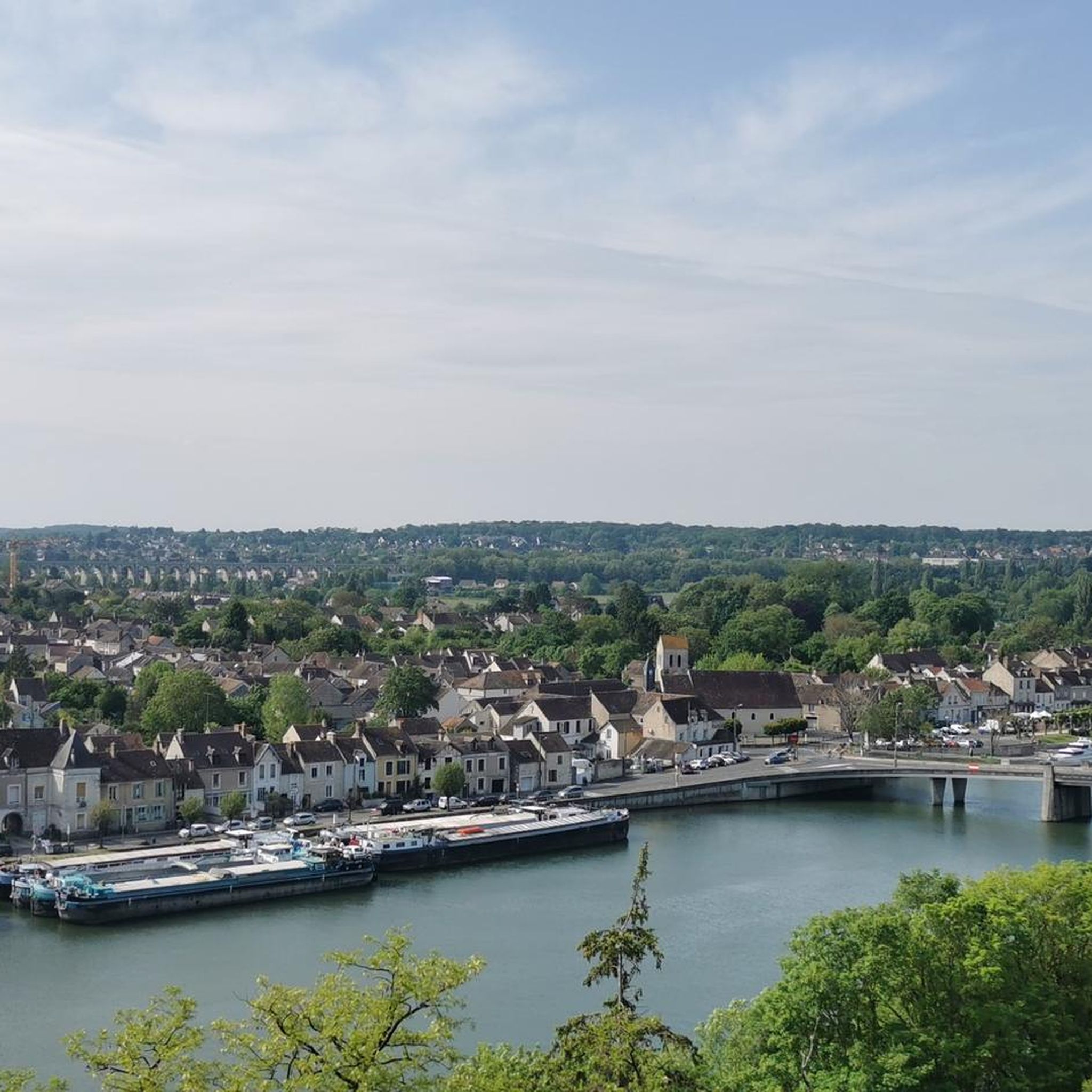

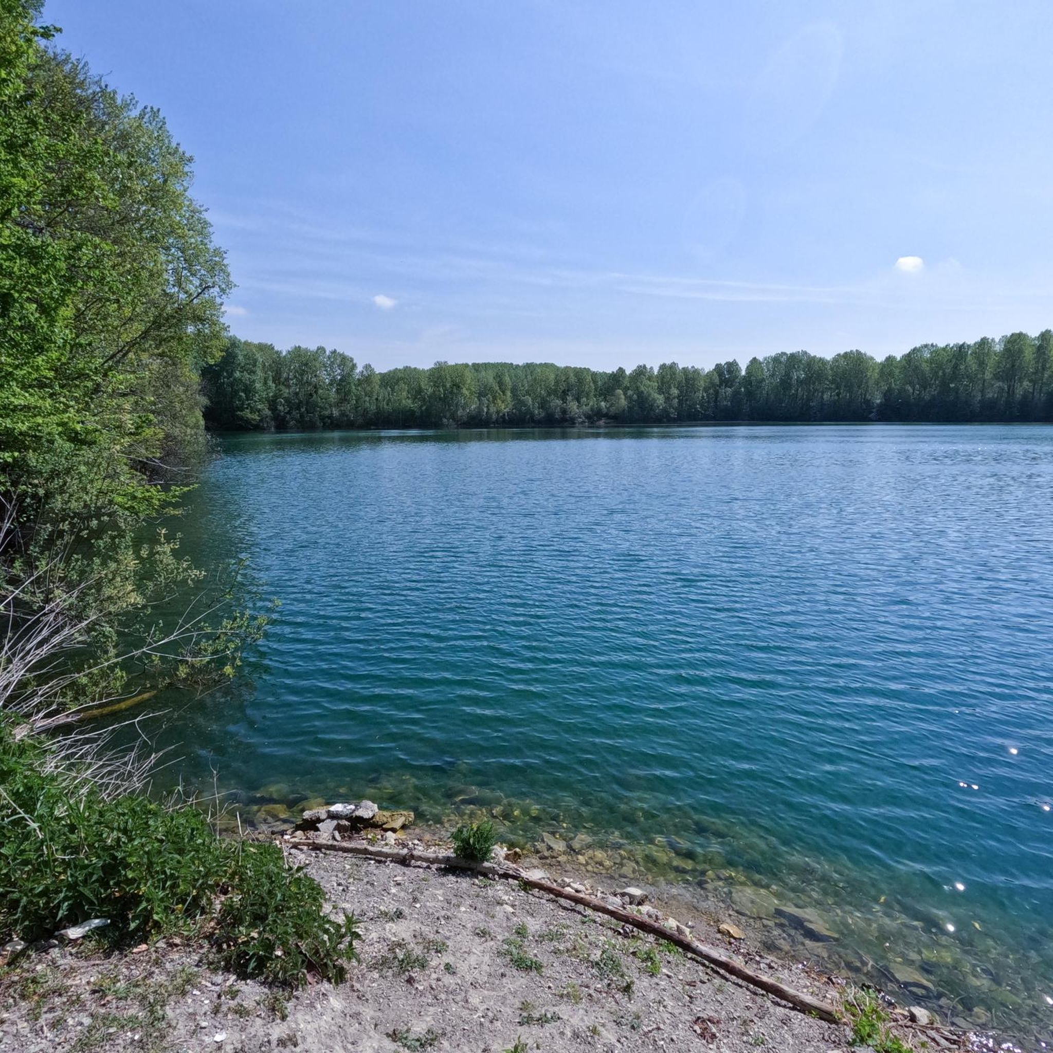
Tips from the Community

Frequently Asked Questions
How many running routes are available in Vernou-La-Celle-Sur-Seine?
Vernou-La-Celle-Sur-Seine offers a wide selection of running routes, with over 350 trails available. These routes cater to various fitness levels, including easy, moderate, and difficult options.
What kind of terrain can I expect on running trails around Vernou-La-Celle-Sur-Seine?
The running trails in Vernou-La-Celle-Sur-Seine feature a diverse rural landscape. You'll find a mix of forest paths, open countryside sequences, and riverside sections along the Seine and Loing rivers. The prominent Mont de Vernou offers routes with varied elevation, reaching up to 146 meters, providing a good challenge for runners.
Are there easy running routes suitable for beginners or a relaxed jog?
Yes, there are 39 easy running routes in the area. For a relaxed experience, consider the Loing Quay – Pont de Moret-sur-Loing loop from Saint-Mammès, which is 7.6 km and takes under an hour to complete, offering pleasant riverside views.
Are there any running routes that offer scenic viewpoints or landmarks?
Many routes provide scenic views of the rural landscape and rivers. For specific landmarks, the View of Saint-Mammès loop from Champagne-sur-Seine offers picturesque vistas. You can also explore routes that pass near the Pont de Moret-sur-Loing or the Augas Cross, which is a notable viewpoint.
What do other runners enjoy most about the trails in Vernou-La-Celle-Sur-Seine?
The running routes in Vernou-La-Celle-Sur-Seine are highly rated by the komoot community, with an average score of 4.5 stars from over 130 reviews. Runners frequently praise the peaceful rural setting, the variety of forest and countryside paths, and the charming riverside sections along the Loing and Seine.
Are there any longer running trails for those looking for a challenge?
Absolutely. For a longer run, the Running loop from Vernou-sur-Seine covers nearly 13 km with over 120 meters of elevation gain, making it a good option for endurance training. There are 65 difficult routes in total for more advanced runners.
Can I find circular running routes in the area?
Yes, many of the running routes in Vernou-La-Celle-Sur-Seine are circular, allowing you to start and end at the same point. An example is the Étang des Basses Godernes loop from Champagne-sur-Seine, a 6.9 km trail that circles a natural pond.
Are there any natural attractions or points of interest along the running paths?
While running, you might encounter various natural features. The region is known for its Tufs de La Celle, a rare geological site. For specific natural monuments, consider exploring areas near the Fairy Pond or the Rochers des Princes. The Mont de Vernou itself offers a wide loop through alternating forest and countryside sequences, highlighting the area's natural beauty.
Is Vernou-La-Celle-Sur-Seine suitable for family-friendly running or walks?
The rural setting and local parks make Vernou-La-Celle-Sur-Seine suitable for families. While specific 'family-friendly' running routes aren't explicitly marked, the 39 easy routes provide gentler options that could be enjoyed by families. Local parks like Parc Canape or Parc des Collinettes also offer green spaces for outdoor activities.
Are there any specific routes that follow the river?
Yes, the area is situated on the right bank of the Seine river and near the Loing river, offering several riverside running opportunities. The Loing Quay – Saint-Mammès Marina loop from Écuelles is a moderate 9 km path that explores the Loing Quay and passes by the Saint-Mammès Marina, providing excellent riverside scenery.
What is the highest point I can reach on a running trail in the area?
The highest point in the southwest of Seine-et-Marne, the Mont de Vernou, reaches an altitude of 146 meters. A wide loop around the Mont de Vernou is a labelled and marked route, offering an alternation of forest and countryside sequences for runners seeking elevated terrain.
Are there any resources for more information about hiking or running around Mont de Vernou?
Yes, for more detailed information about exploring the Mont de Vernou, you can refer to resources like the Seine-et-Marne tourism website: Hiking around the Mountain of Vernou-Celle.
Most popular routes around Vernou-La-Celle-Sur-Seine
Most popular attractions around Vernou-La-Celle-Sur-Seine

Get inspired with the komoot mobile app


Explore more
Browse the best Running Trails & Routes in other regions.
