The best running trails around Villecerf
4.4
(95)
3,349
runners
255
runs
Jogging around Villecerf offers access to a preserved rural landscape, with 94% of its territory dedicated to natural or agricultural spaces, including 32% forest. The region is characterized by an extensive network of paths, including sections of the GR 11 long-distance trail, and is bordered by the Orvanne river. Joggers can explore varied topography, from open fields to wooded hills, with the unique natural landmark of La Roche du Sault providing a point of interest.
Best jogging routes around Villecerf
…Last updated: June 29, 2026
7
runners
10.4km
01:11
100m
100m
Moderate run. Good fitness required. Mostly paved surfaces. Suitable for all skill levels.
7
runners
13.7km
01:26
60m
60m
Moderate run. Good fitness required. Mostly paved surfaces. Suitable for all skill levels.

Sign up for free
8
runners
Moderate run. Good fitness required. Mostly paved surfaces. Suitable for all skill levels.
6
runners
7.88km
00:52
50m
50m
Moderate run. Good fitness required. Mostly paved surfaces. Suitable for all skill levels.
6
runners
13.4km
01:34
140m
140m
Moderate run. Good fitness required. Mostly paved surfaces. Suitable for all skill levels.
Get access to more routes and recommendations from other explorers.
Sign up for free
Already have an account?
Our route recommendations are based on thousands of hikes, rides, and runs completed by other people on komoot.
Start today with a free account
Your next adventure awaits.
Login or Signup


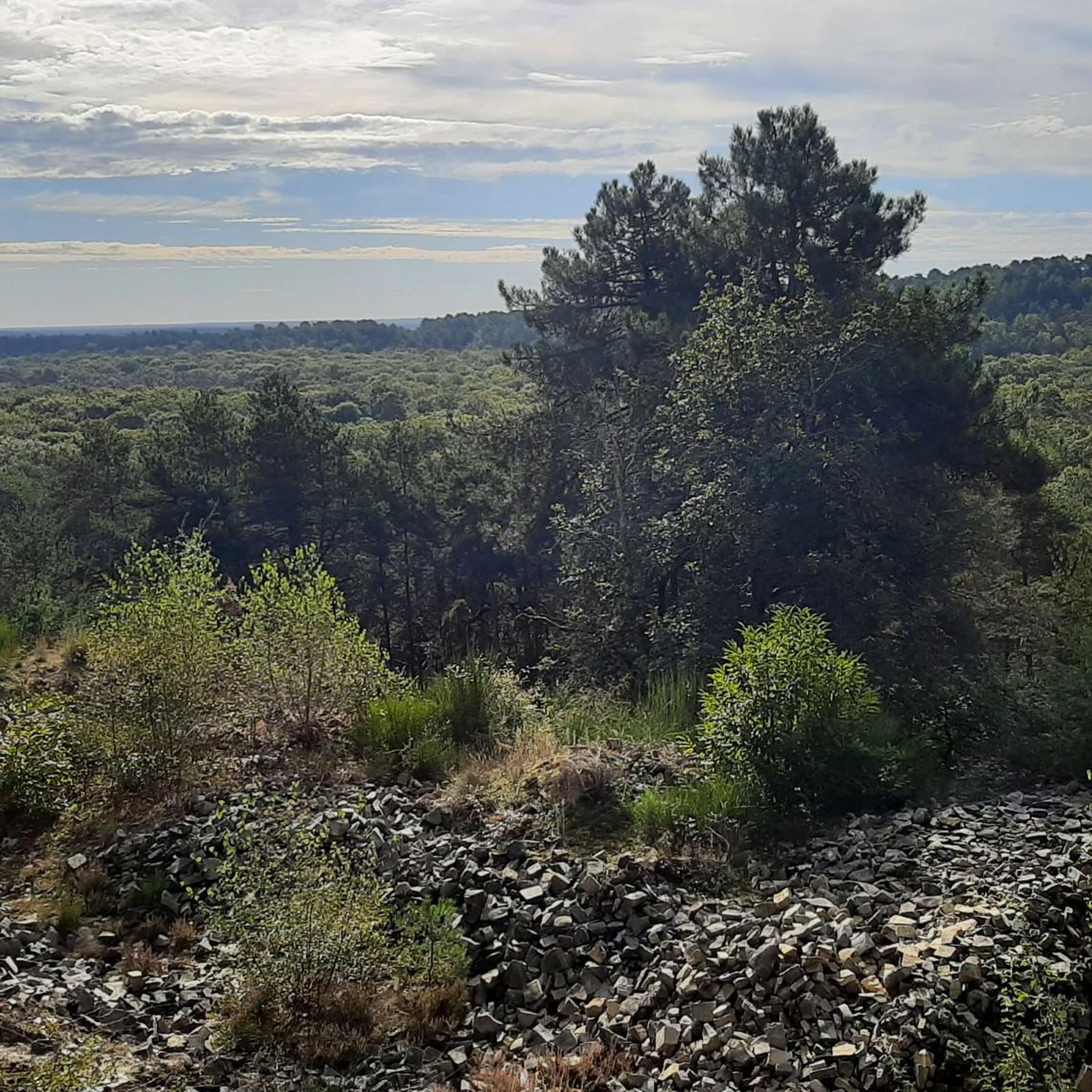
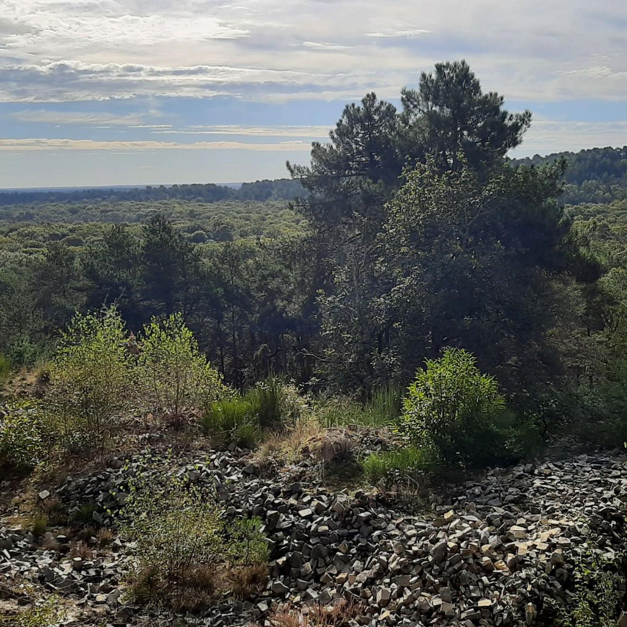
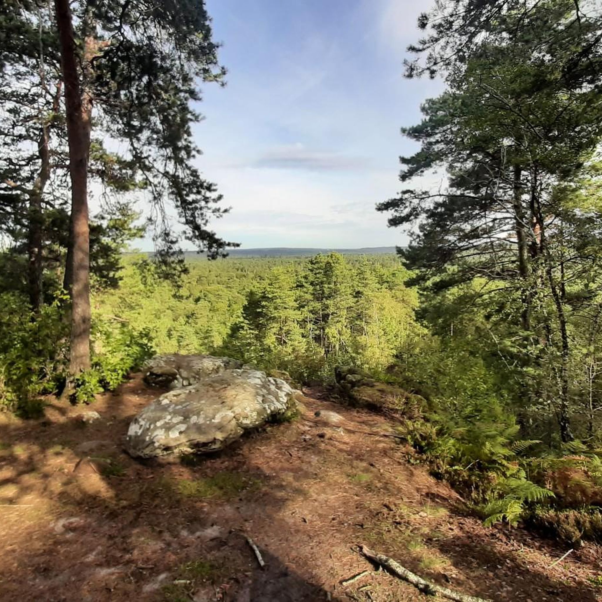
Tips from the Community

Crossed by the Orvanne. Picturesque bridges and wash houses.
0
0

Surrounded by greenery, this historic lock offers a peaceful setting where you can watch pleasure boats slowly pass by. The towpath, perfect for bike rides, runs alongside the canal, lined with trees and meadows.
0
0

I think I missed this brewery!
0
0

Do not hesitate to leave the main road a little to make a small detour in the streets of this borough classified among the villages of character of Seine et Marne. The old houses line the streets organized in quadrilaterals around the church square, the old washhouse and a 12th century mill.
0
0

Small isolated church in the middle of the fields. A lovely place to take a break.
0
0

The Loing canal is a canal built in the 18th century located in the departments of Loiret and Seine-et-Marne in France which originally provided with the Orléans canal and the Briare canal the junction between the river basin of the Loire and that of the Seine.
1
0
Magnificent 12th century church. To see absolutely if you pass not far!
1
0
Frequently Asked Questions
How many running routes are available around Villecerf?
There are over 240 dedicated running routes around Villecerf, offering a wide variety of options for all skill levels. The komoot community has explored more than 3000 kilometers of trails in the area.
Are there running routes suitable for beginners in Villecerf?
Yes, Villecerf offers 26 easy running routes perfect for beginners or those looking for a relaxed jog. These trails typically feature gentle terrain and shorter distances, allowing you to enjoy the natural surroundings at a comfortable pace.
What kind of scenery can I expect on the running trails around Villecerf?
Jogging around Villecerf offers a blend of natural and historical landscapes. You'll find yourself running through extensive agricultural fields, tranquil woodlands (which make up 32% of the commune's territory), and along the scenic Orvanne river. The area is also characterized by 'buttes boisées' or wooded hills, providing varied topography. You might also encounter historical elements like old houses, a 12th-century mill, or the Saint-Martin Church in the village center.
Are there any interesting landmarks or natural features to see along the running routes?
Absolutely! While running, you can discover unique natural features like La Roche du Sault, a striking 10-meter-high megalith. The area also features other natural monuments such as Béatrix Cave and the Fairy Pond. For history enthusiasts, the 16th-century Château de Saint-Ange and the remains of the 12th-century Ancient Priory of Trin add historical charm to your run.
Are there many circular jogging routes in the Villecerf area?
Yes, many of the running paths around Villecerf are designed as circular routes, allowing you to start and finish at the same point. For example, the Le tetre Bourgine – Château de la Brosse loop from Ville-Saint-Jacques is a popular moderate 10.4 km circular trail that offers a mix of natural and historical scenery.
What do other runners enjoy the most about jogging in Villecerf?
The running routes in Villecerf are highly rated by the komoot community, with an average score of 4.4 stars from over 60 reviews. Runners often praise the preserved rural landscape, the extensive network of paths, and the varied terrain that includes open fields, wooded hills, and river borders, providing a serene and engaging experience.
Are there options for longer or more advanced running trails near Villecerf?
While Villecerf itself offers a good range of moderate and some difficult routes, for more extensive and challenging runs, the renowned Fontainebleau Forest is only about 14 km away. This UNESCO Biosphere Reserve boasts 300 km of marked paths and 1,600 km of forest roads, providing an unparalleled landscape for advanced runners seeking longer distances and varied terrain with sandstone formations.
Can I find family-friendly running trails in Villecerf?
Yes, many of the easier and moderate routes are suitable for families. The extensive network of paths through natural and agricultural spaces provides safe and enjoyable environments for all ages. Look for routes with less elevation gain and shorter distances for a pleasant family outing.
Are the running routes around Villecerf dog-friendly?
The natural and agricultural spaces around Villecerf, including its numerous paths and woodlands, are generally welcoming for dogs. However, it's always recommended to keep your dog on a leash, especially in agricultural areas or near wildlife, and to be mindful of local regulations and other trail users.
Is there public transport access to the running routes in Villecerf?
Villecerf is a rural village, and while local bus services might connect to nearby towns, direct public transport access to specific trailheads can be limited. It's often more convenient to reach the area by car, especially if you plan to explore various starting points for your runs.
Where can I find parking for jogging trails in Villecerf?
Parking is typically available in the village center of Villecerf or at designated spots near popular trailheads. As the area is well-equipped for outdoor activities, you'll often find convenient places to park your vehicle before heading out on your run.
Are there any running routes that pass by canals or rivers?
Yes, Villecerf is bordered by the Orvanne river, and several routes incorporate waterways. For instance, the Loing Canal – Saint Martin's Church loop from Épisy is a popular 13.7 km path that follows the Loing Canal, offering picturesque canal-side running and views of historical village elements.
Most popular attractions around Villecerf

Get inspired with the komoot mobile app


Explore more
Browse the best Running Trails & Routes in other regions.
