The best running trails around Saint-Georges-De-Commiers
4.3
(76)
3,411
runners
21
runs
Jogging around Saint-Georges-De-Commiers offers diverse terrain within the Isère department of France. The region features altitudes ranging from 286 to 1370 meters, providing a mix of inclines and declines. Its landscape is characterized by extensive forests, covering 67% of the area, and trails along the Drac river. The foothills of the Conest mountain also contribute to the varied running environment.
Best jogging routes around Saint-Georges-De-Commiers
- The most popular jogging route is View of the Vercors loop from Saint-Georges-de-Commiers, a…
Last updated: October 18, 2026
4.0
(1)
24
runners
12.6km
01:40
390m
390m
Hard run. Very good fitness required. Sure-footedness, sturdy shoes and alpine experience required.
17
runners
31.4km
04:51
1,570m
1,570m
Hard run. Very good fitness required. Sure-footedness, sturdy shoes and alpine experience required.

12
runners
7.52km
00:48
110m
110m
Moderate run. Good fitness required. Mostly paved surfaces. Suitable for all skill levels.
9
runners
20.6km
03:06
1,040m
1,040m
Hard run. Very good fitness required. Sure-footedness, sturdy shoes and alpine experience required.
10
runners
13.6km
01:54
480m
480m
Hard run. Very good fitness required. Sure-footedness, sturdy shoes and alpine experience required.
Get access to more routes and recommendations from other explorers.
Already have an account?
Our route recommendations are based on thousands of hikes, rides, and runs completed by other people on komoot.
Start today with a free account
Your next adventure awaits.
Popular around Saint-Georges-De-Commiers


Tips from the Community

It's a small tufa waterfall. It's difficult to see from the path that runs just above. It's much better seen from below; don't hesitate to go down the path.
0
0
A lovely panorama of the Drac Islands nature reserve
0
0

The mountain top La Peyrouse is located at an altitude of 1711m. Easily accessible via MTB route 10. It is sometimes difficult to cycle on the path from the top of Beauregard. Once on the La Peyrouse, the view is magnificent. The descent that follows is spectacular. Before you know it you are back at the bottom of the mountain.
0
0

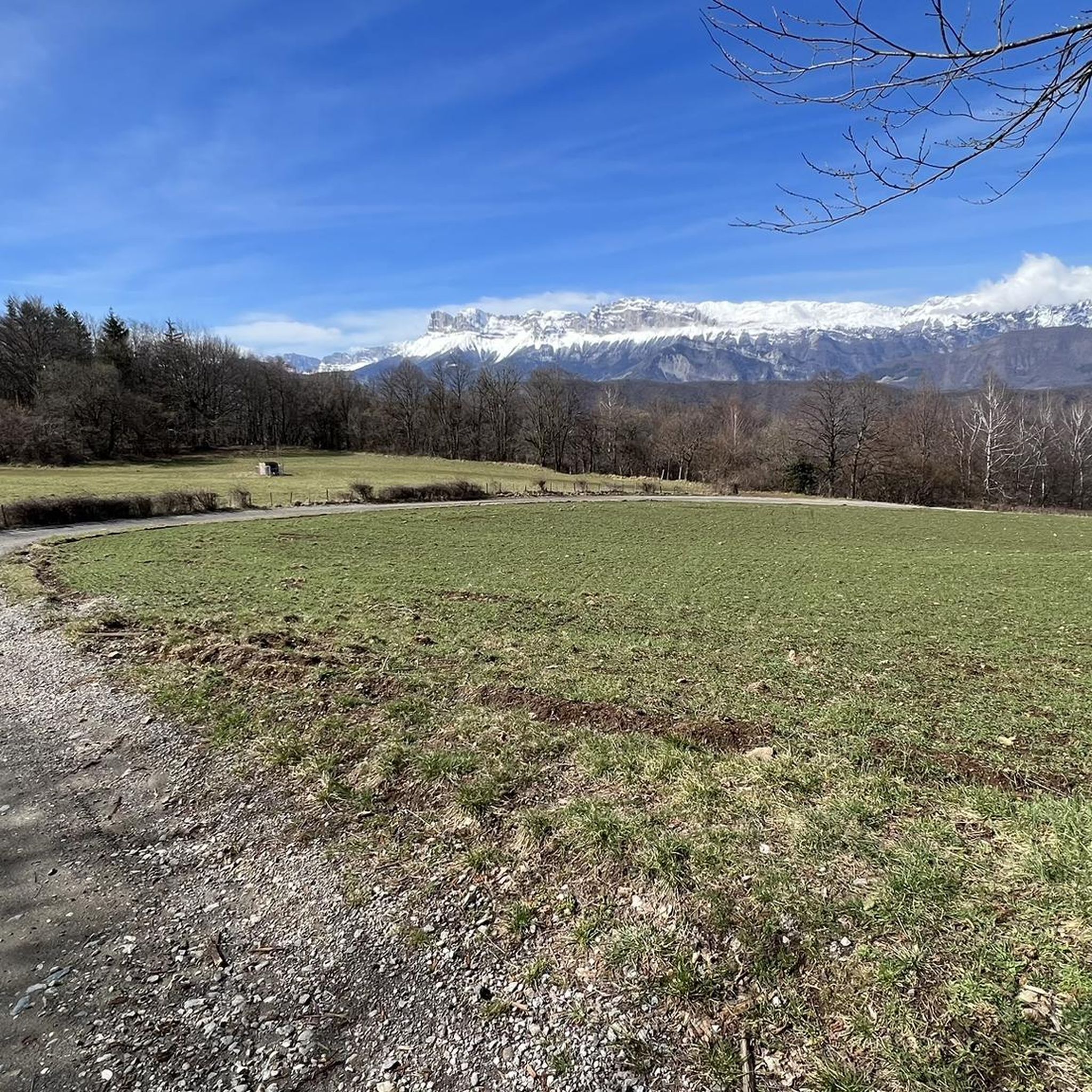
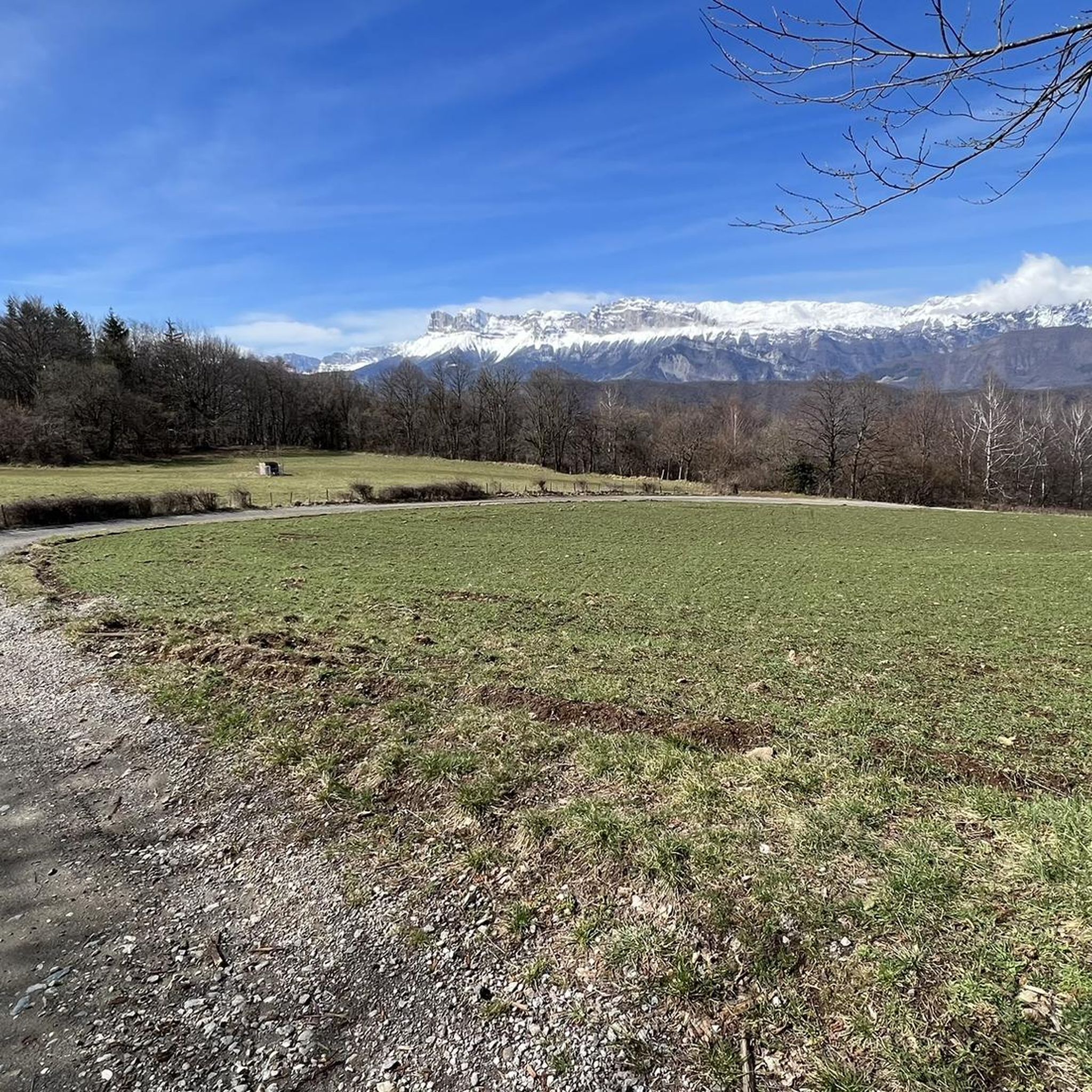
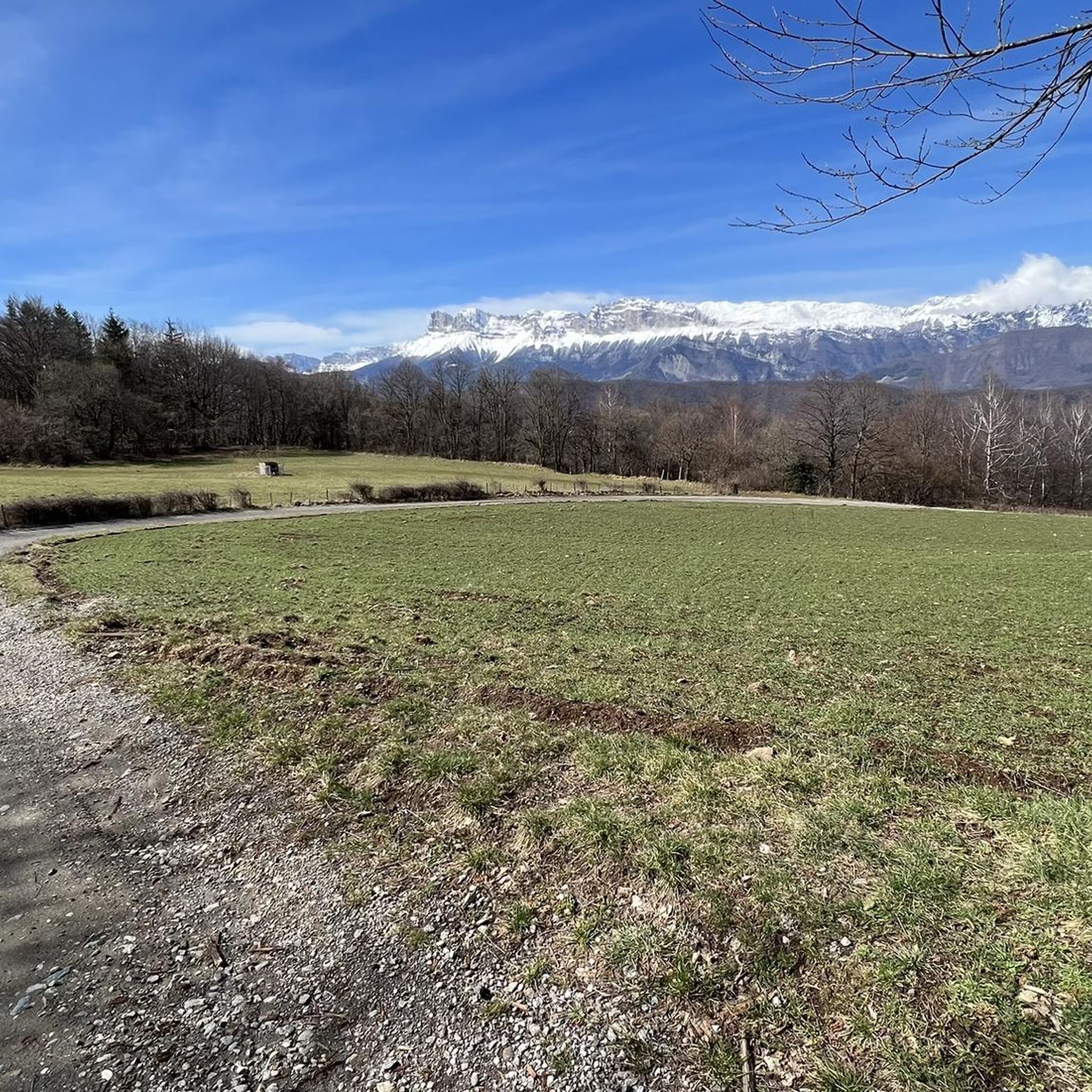
This point of view offers you a unique panorama over the Vercors.
0
0

Quiet road that allows you to reach Saint-Georges-de-Commiers without going through the D529 which is quite busy
1
0

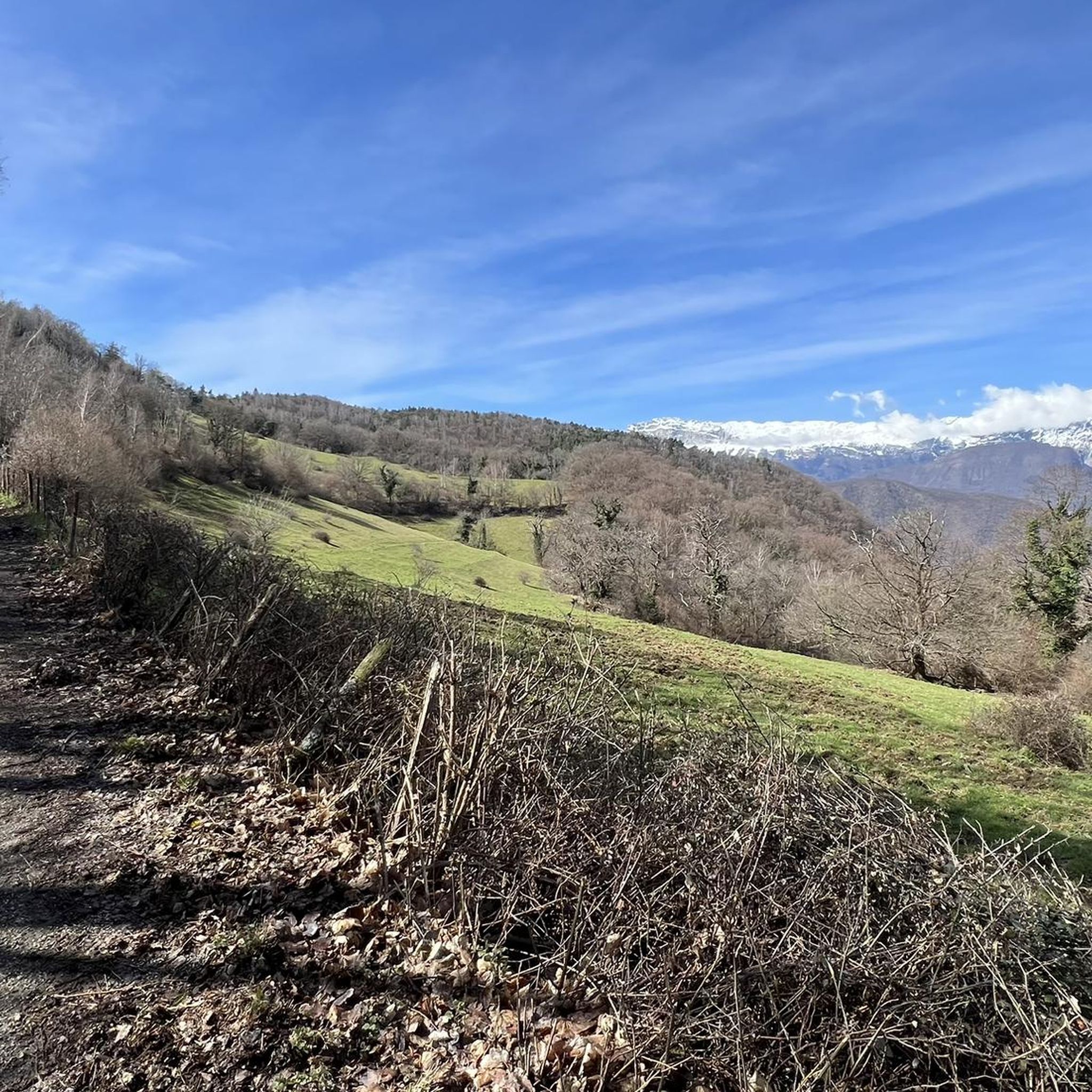
Very nice little easy hike done on the 1st day of winter. Very beautiful 360 ° panorama with a view of Grenoble and the Chartreuse, the Vercors, the Dévoluy and the Massif de l'Obiou and the Belledonne chain.
0
0
Frequently Asked Questions
How many running routes are available in Saint-Georges-De-Commiers?
There are over 20 running routes around Saint-Georges-De-Commiers, offering a variety of options for different fitness levels and preferences. These routes are highly rated by the komoot community, with an average score of 4.5 stars from over 50 reviews.
What is the general difficulty level of running trails in Saint-Georges-De-Commiers?
The running trails in Saint-Georges-De-Commiers offer a diverse range of challenges. While there are no easy routes listed, you'll find 5 moderate trails and 17 difficult routes, catering to runners looking for more challenging terrain with significant elevation changes. The region's altitudes range from 286 to 1370 meters, providing a mix of inclines and declines.
Are there any running routes that feature waterfalls in Saint-Georges-De-Commiers?
Yes, the area is known for its scenic natural features, including waterfalls. You can explore the Touva Waterfall – View of the Vercors loop from Saint-Georges-de-Commiers, which offers a chance to experience cascades and enjoy the soothing sounds of streams while running.
Can I find circular running routes in Saint-Georges-De-Commiers?
Many of the running routes in Saint-Georges-De-Commiers are designed as loops, allowing you to start and finish at the same point. For example, the Fontaine – Beauregard loop from Saint-Georges-de-Commiers is a challenging 25.5 km circular path with over 1300 meters of elevation gain.
What kind of natural landscapes can I expect to see on the running trails?
Saint-Georges-De-Commiers is characterized by its consistently green landscapes. You'll run through extensive forests, which cover 67% of the area, providing shaded paths and fresh air. Many trails also follow the banks of the Drac river, which are classified as natural reserve areas, offering beautiful riverside views and rich biodiversity.
Are there any specific landmarks or points of interest along the running routes?
While running, you might encounter several interesting points. The region offers panoramic views, such as those from the Saint-Michel Peak. The nearby La Pierre Percée, a natural arch, also provides stunning vistas of the Matheysine plateau, which can be a rewarding sight on longer runs.
What do other runners enjoy most about jogging in Saint-Georges-De-Commiers?
The running routes in Saint-Georges-De-Commiers are highly rated by the komoot community, with an average score of 4.5 stars. Runners often praise the diverse terrain, the dense woodlands, and the scenic riverside trails along the Drac. The variety of routes, from moderate paths to more challenging options with significant elevation, is also frequently highlighted.
Are there any advanced running routes for experienced trail runners?
Yes, Saint-Georges-De-Commiers offers several challenging routes for advanced runners. The Conest Mountain – La Peyrouse loop from Saint-Georges-de-Commiers is a demanding 26.3 km trail with nearly 1500 meters of elevation gain, often taking over 4 hours to complete. Another option is the Grotte des 3 Ours loop from Saint-Georges-de-Commiers, a difficult 12.7 km path with significant elevation.
What is the best time of year for running in Saint-Georges-De-Commiers?
The diverse landscapes of Saint-Georges-De-Commiers make it suitable for running throughout much of the year. The abundant green spaces and forests provide shade during warmer months, while the varied terrain can offer beautiful scenery during autumn. For specific conditions, especially in winter or after heavy rain, it's always advisable to check local weather and trail reports.
Are there any running trails with good views of the surrounding mountains?
Absolutely. Many routes in the area offer rewarding panoramic views. The View of the Vercors loop from Saint-Georges-de-Commiers is a prime example, providing stunning vistas of the Vercors mountain range. The region's location in the Isère department, often called the 'capital of the Alps,' ensures a backdrop of impressive mountainous scenery.
Are there any running routes suitable for families or beginners?
While the guide primarily features moderate to difficult routes, the region's diverse terrain means there are likely easier sections or shorter, less strenuous paths that could be suitable for families or beginners. The marked trails within the town itself often have varying degrees of difficulty. It's recommended to check individual route details for elevation and distance to find the best fit.
Most popular routes around Saint-Georges-De-Commiers
Most popular attractions around Saint-Georges-De-Commiers

Get inspired with the komoot mobile app


Explore more
Browse the best Running Trails & Routes in other regions.
