The best walks and hikes around Monteynard
4.4
(1774)
14,904
hikers
309
hikes
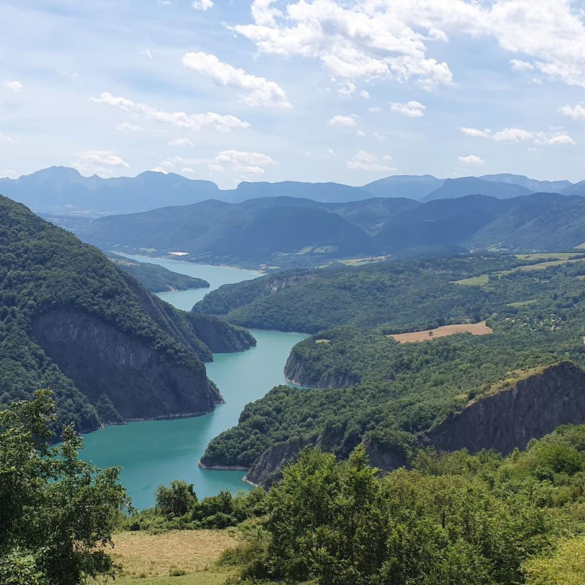
Hiking around Monteynard offers diverse terrain centered around the artificial Lac de Monteynard-Avignonet, formed by the Drac and Ébron rivers. The region features deep gorges, turquoise waters, and views of the Vercors, Oisans, and Belledonne massifs. Hikers can explore landscapes ranging from forests to alpine pastures, with notable features like the unique Himalayan footbridges. The area provides a variety of trails suitable for different fitness levels.
Best hiking trails around Monteynard
- The most popular hiking route is Waterfall – Drac…
Last updated: August 25, 2026
4.1
(8)
47
hikers
9.30km
03:00
310m
310m
Moderate hike. Good fitness required. Mostly accessible paths. Sure-footedness required.
4.3
(3)
31
hikers
6.70km
02:13
310m
310m
Moderate hike. Good fitness required. Easily-accessible paths. Suitable for all skill levels.

Sign up for free
4.6
(5)
34
hikers
4.59km
01:33
200m
200m
Moderate hike. Great for any fitness level. Mostly accessible paths. Sure-footedness required.
4.3
(3)
17
hikers
Moderate hike. Good fitness required. Easily-accessible paths. Suitable for all skill levels.
4.8
(4)
26
hikers
13.4km
04:46
770m
770m
Moderate hike. Good fitness required. Mostly accessible paths. Sure-footedness required.
Get access to more routes and recommendations from other explorers.
Sign up for free
Already have an account?
Our route recommendations are based on thousands of hikes, rides, and runs completed by other people on komoot.
Start today with a free account
Your next adventure awaits.
Login or Signup
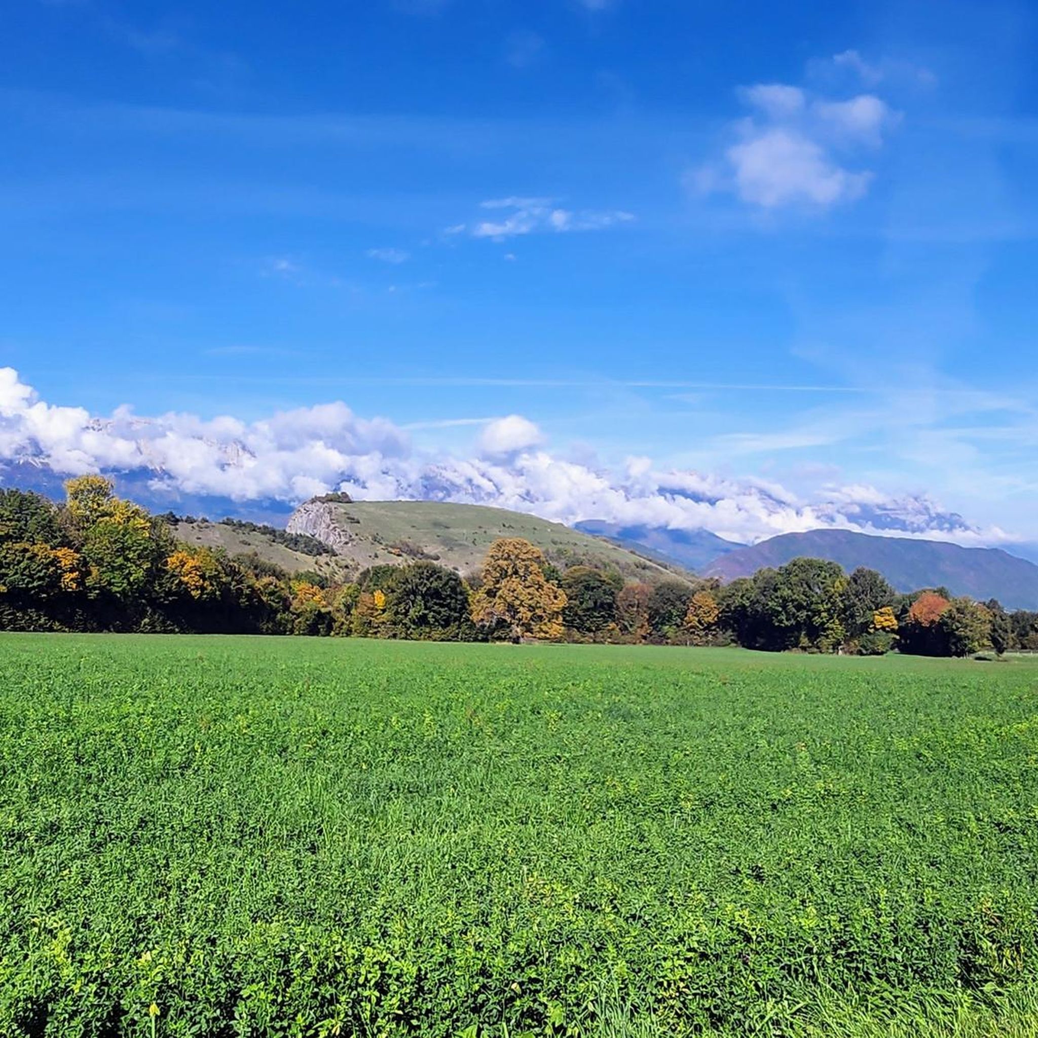


Tips from the Community

Very poorly indicated but follow the paths though beautiful woodland.
0
0

You should take a few minutes and enter this small Romanesque church to discover some pretty restored paintings dating from the end of the 18th century.
0
0
The Church of St. George is a charming little church in the early Romanesque style from the 12th century, listed as a Historic Monument in 1908. These two bells date from 1634 and 1653.
0
0

The road is very lightly trafficked, winding and in perfect condition. A real treat ! The view of the southern Vercors is superb
0
0
A lovely panorama of the Drac Islands nature reserve
0
0

In the village of Monteynard, go towards the orientation table 300m from the center on the left. Exceptional view
0
0
Frequently Asked Questions
How many hiking trails are available in Monteynard?
Monteynard offers a wide variety of hiking experiences, with over 270 routes available. These range from easy strolls to more challenging ascents, ensuring options for all fitness levels.
What makes hiking in Monteynard unique?
The Monteynard region is renowned for its spectacular landscapes, centered around the turquoise waters of the artificial Lac de Monteynard-Avignonet and the dramatic gorges of the Drac and Ébron rivers. The highlight for many hikers is the network of 'Himalayan footbridges' – the Drac and Ébron suspension bridges – which offer an exhilarating experience and breathtaking views. You'll also find continuous panoramic views of the Vercors, Oisans, and Belledonne massifs.
Are there easy hiking trails suitable for beginners or families in Monteynard?
Yes, Monteynard has many accessible trails. There are over 60 easy routes, perfect for beginners or families looking for a relaxed outdoor experience. These paths often feature gentle terrain and beautiful scenery without significant elevation changes.
Can I bring my dog on the hiking trails in Monteynard?
Generally, dogs are welcome on many hiking trails in Monteynard, especially if kept on a leash. However, it's always advisable to check specific trail regulations or local signage, particularly in nature reserves or protected areas, to ensure dog access is permitted.
Are there any circular hiking routes around Monteynard?
Yes, circular routes are very popular in Monteynard. A notable option is the 'Tour of the Himalayan Footbridges,' which is a loop that often involves a scenic boat crossing on Lac de Monteynard-Avignonet to complete the circuit. Another example from the komoot community is the Hiking loop from Monteynard, a moderate 4.9 km trail.
What kind of natural landmarks or attractions can I see while hiking?
Beyond the stunning Lac de Monteynard-Avignonet and its gorges, hikers can discover several natural landmarks. The famous Drac Footbridge and Ébron Footbridge are major attractions. You can also find La Pierre Percée, a natural arch offering panoramic views, and the mountain Le Sénépy, known for its 360-degree vistas and alpine pastures.
Are there any routes that feature waterfalls?
Yes, if you're looking for routes with waterfalls, consider the Waterfall – Drac viewpoint loop from Notre-Dame-de-Commiers. This moderate 8.8 km trail offers views of the Drac river and its surrounding natural features, including a waterfall.
What do other hikers enjoy most about Monteynard?
The Monteynard area is highly rated by the komoot community, with an average score of 4.5 stars from over 1500 reviews. Hikers often praise the spectacular views from the Himalayan footbridges, the unique turquoise color of the lake, and the diverse landscapes that range from forests to open pastures.
Are there any challenging hikes for experienced hikers?
Yes, for those seeking a greater challenge, Monteynard offers over 30 difficult routes. These trails typically involve significant elevation gain and require good fitness and sure-footedness. An example is the La Peyrouse – Conest Mountain loop from Notre-Dame-de-Vaulx, a demanding 13.5 km trail with over 760 meters of elevation gain.
What is the best time of year to go hiking in Monteynard?
The best time for hiking in Monteynard is generally from spring to autumn (May to October). During these months, the weather is most favorable, and all trails, including those involving the footbridges and boat crossings, are typically open and accessible. Summer offers warmer temperatures ideal for combining hiking with water activities on the lake.
Are there any historical or cultural sites near the hiking trails?
While the primary focus is on natural beauty, the region does offer cultural sites. About 12 km from Monteynard, you can visit the Château de Vizille, a historic 17th-century castle that houses the Museum of the Revolution and features a beautiful park.
Is public transport available to access hiking trailheads in Monteynard?
Public transport options to reach specific trailheads around Monteynard can be limited. It's often recommended to use a car for greater flexibility in accessing various starting points. However, some villages around the lake might have local bus services. For detailed information on public transport to specific locations like Treffort, it's best to consult local transport schedules.
Where can I find parking for hiking trails around Lac de Monteynard?
Parking is generally available at popular trailheads and access points around Lac de Monteynard, particularly near the footbridges and villages like Treffort or Mayres-Savel. These areas often have designated parking lots, though they can fill up quickly during peak season. Always check for local signage regarding parking fees or restrictions.
Most popular routes around Monteynard
Most popular attractions around Monteynard

Get inspired with the komoot mobile app


Explore more
Browse the best Hikes in other regions.
