The best road cycling routes around Pollionnay
4.4
(1018)
16,793
riders
383
rides
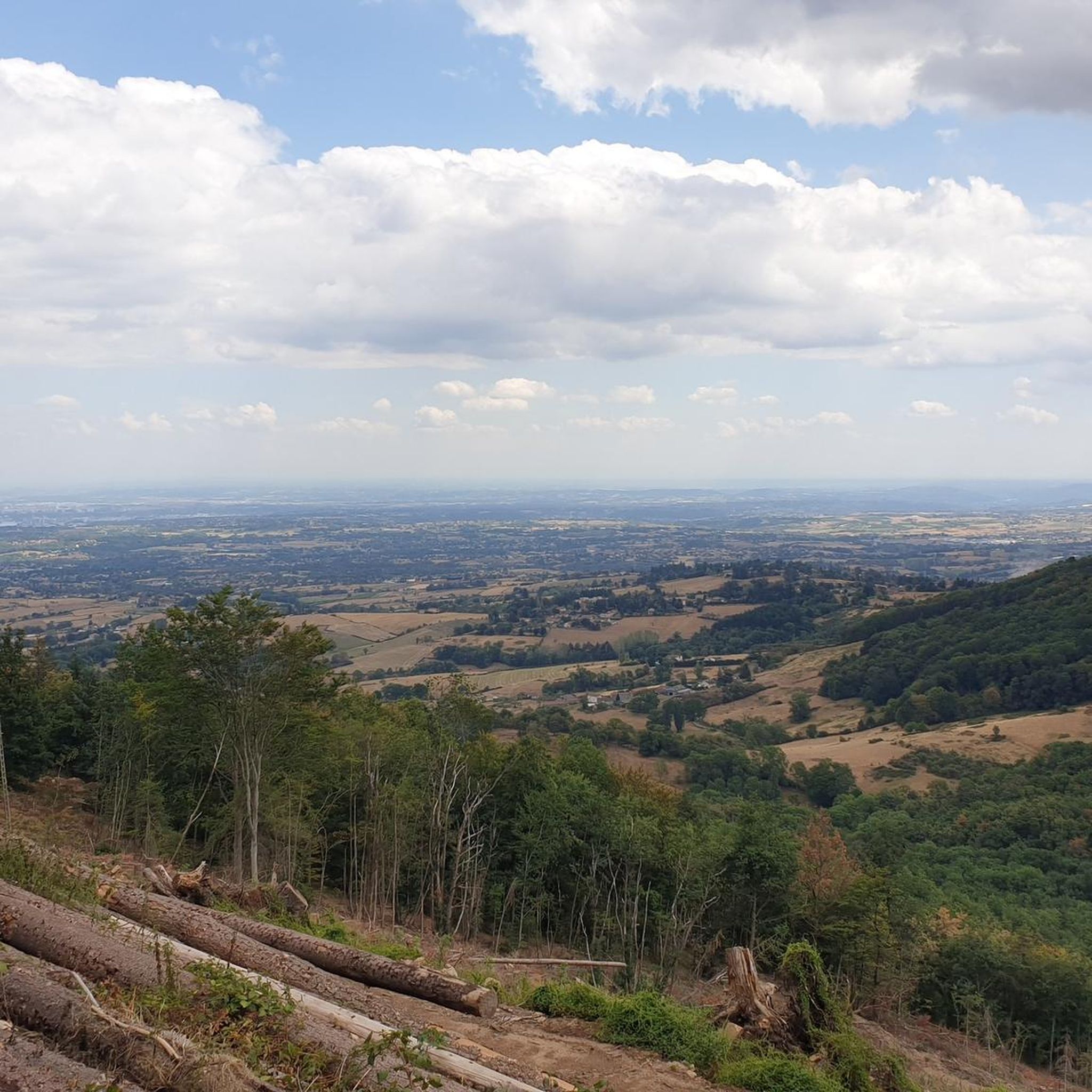
Road cycling around Pollionnay offers diverse routes within the Monts du Lyonnais, characterized by varied terrain and wooded landscapes. The region provides a mix of challenging climbs and scenic descents, suitable for different fitness levels. Cyclists can navigate routes featuring hills like the Col de la Luère and the Col de la Croix du Ban. The area's natural features include lush, wooded environments, providing a consistent backdrop for road cycling activities.
Best road cycling routes around Pollionnay
- The most popular…
Last updated: October 18, 2026
4.8
(4)
92
riders
37.8km
02:08
700m
700m
Moderate road ride. Good fitness required. Some segments of this route may be unpaved and difficult to ride.
4.9
(8)
83
riders
59.2km
03:16
1,250m
1,250m
Hard road ride. Very good fitness required. Mostly well-paved surfaces and easy to ride.

5.0
(1)
36
riders
19.9km
01:14
560m
560m
Moderate road ride. Good fitness required. Mostly well-paved surfaces and easy to ride.
28
riders
76.5km
04:06
1,500m
1,510m
Hard road ride. Very good fitness required. Mostly well-paved surfaces and easy to ride.
4.2
(6)
30
riders
28.9km
01:20
340m
340m
Moderate road ride. Good fitness required. Mostly well-paved surfaces and easy to ride.
Get access to more routes and recommendations from other explorers.
Already have an account?
Our route recommendations are based on thousands of hikes, rides, and runs completed by other people on komoot.
Start today with a free account
Your next adventure awaits.
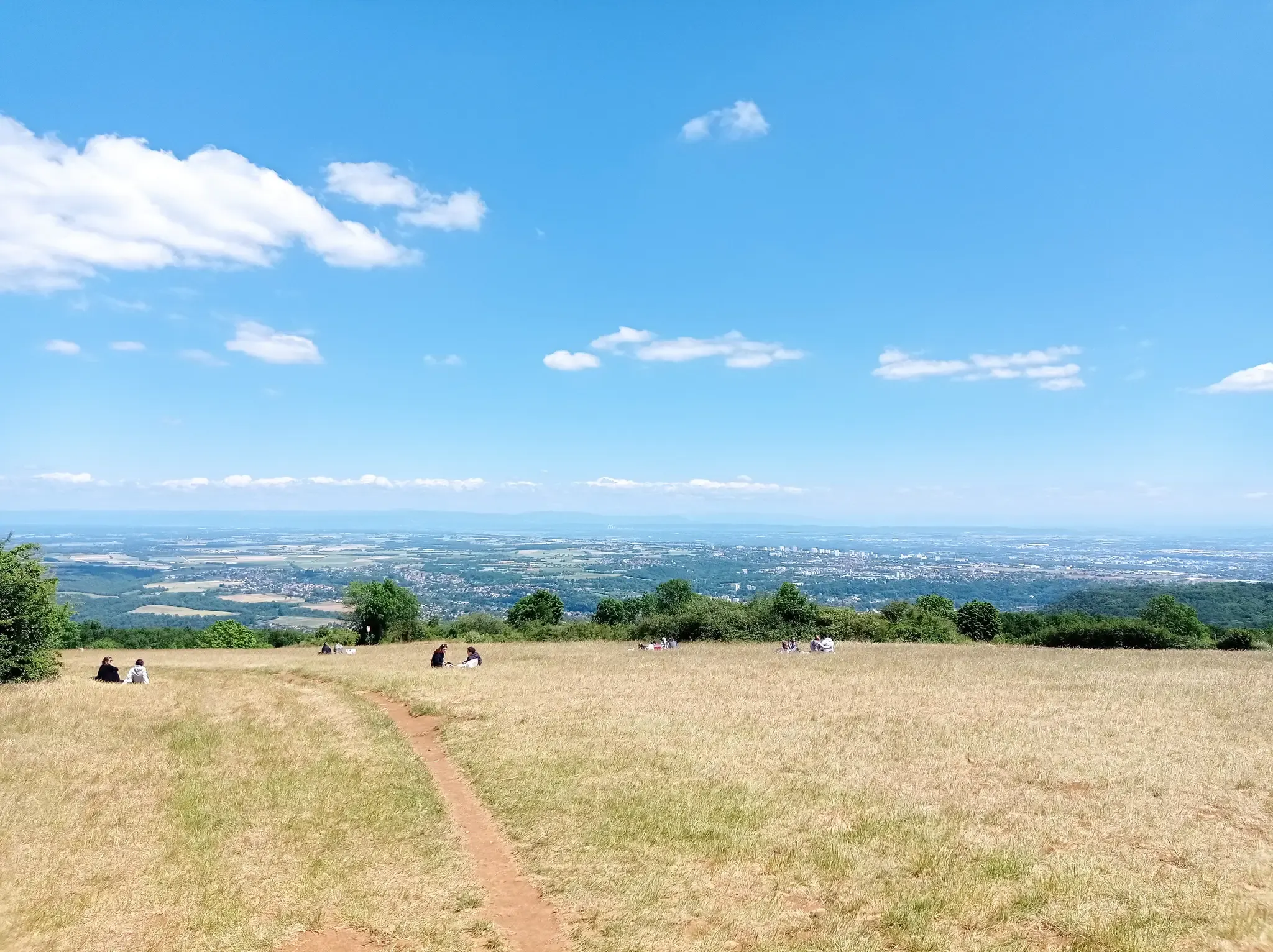
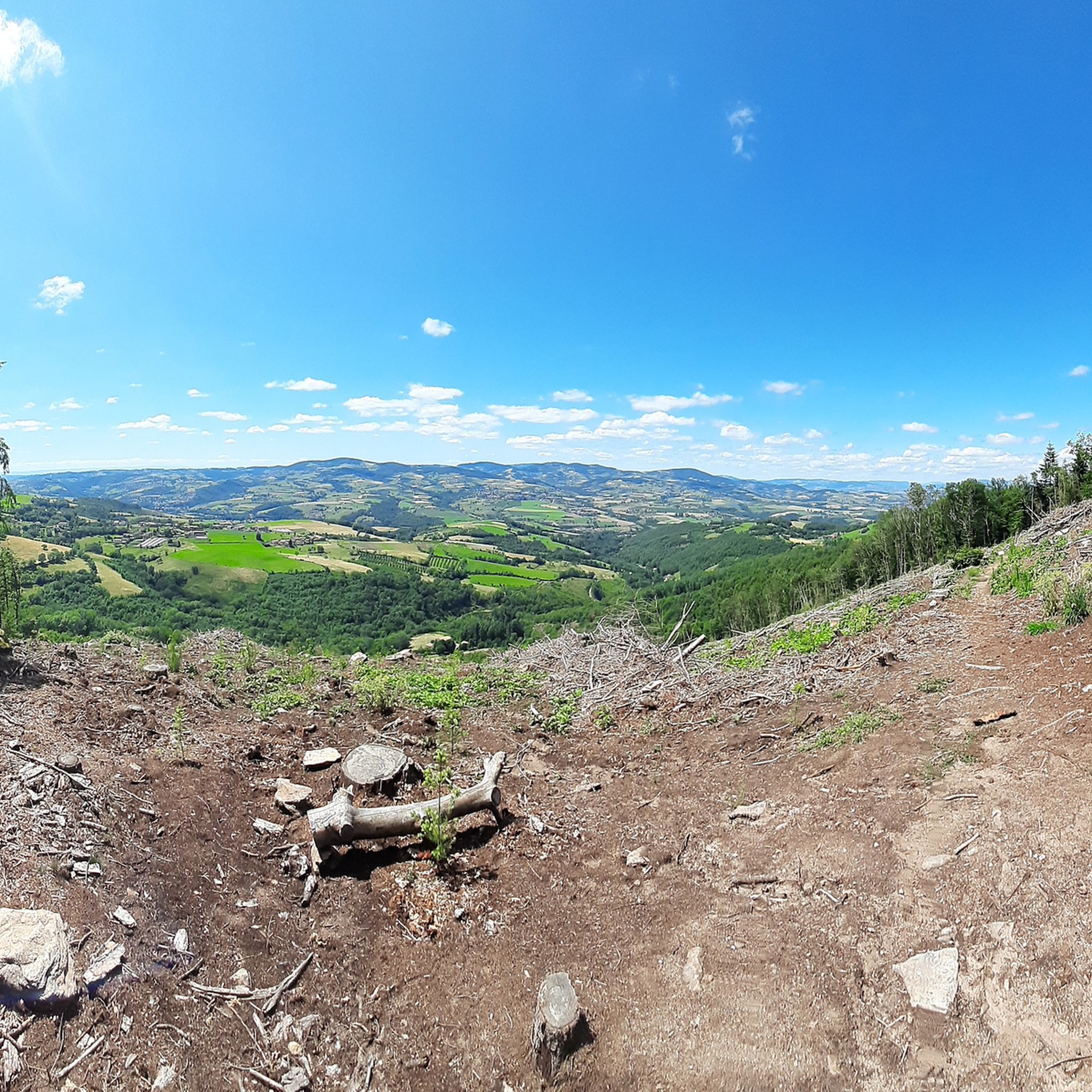
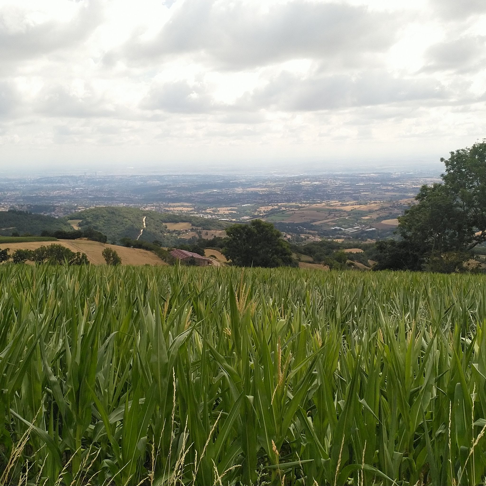
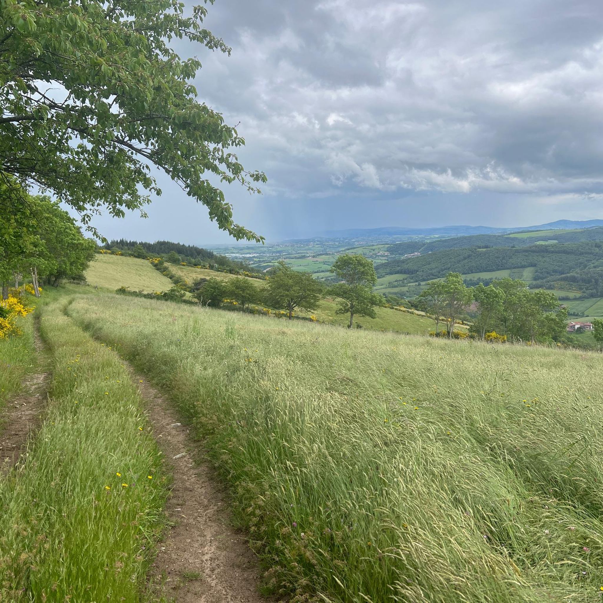

Other adventures around Pollionnay

Tips from the Community

Throughout the route the view is magnificent, be careful in September hunting season is open, be visible and stay on the marked paths.
0
0


The one of me prefers cabbage
0
0

The descent is really cool on the Chevinay side
1
0

Classic Col des Monts. Steady climb
0
0

Frequently Asked Questions
What is the typical terrain and difficulty for road cycling around Pollionnay?
Road cycling around Pollionnay, nestled in the Monts du Lyonnais, features varied terrain with a mix of challenging climbs and scenic descents. You can expect routes that include notable ascents like the Col de la Luère and the Col de la Croix du Ban, which is known for its steady 6% gradient. The region offers routes ranging from moderate to difficult, catering to different fitness levels.
How many road cycling routes are available in the Pollionnay area?
There are over 380 road cycling routes available around Pollionnay, offering a wide variety of options for exploring the Monts du Lyonnais. These routes are well-regarded by the komoot community, with an average rating of 4.3 stars.
Are there any easy road cycling routes suitable for beginners in Pollionnay?
Yes, while many routes are moderate to difficult, there are approximately 25 easy road cycling routes around Pollionnay. Additionally, over 200 moderate routes provide options for those looking for a less strenuous ride than the more challenging climbs.
What natural features can I expect to see while road cycling in Pollionnay?
The road cycling routes in Pollionnay are set within the lush, wooded landscapes of the Monts du Lyonnais. You'll experience a refreshing and scenic backdrop of green areas and natural spaces, providing a consistent connection to nature throughout your ride.
What landmarks or scenic viewpoints can I expect on road cycling routes near Pollionnay?
Many routes offer stunning views of the surrounding valleys and hills, especially from mountain passes like the Col de la Luère and the Croix-de-Part Pass. You might also encounter historical sites such as the Fort du Paillet or the Old Col de la Croix du Ban.
Are there any family-friendly road cycling routes in Pollionnay?
While the region is known for its varied terrain and climbs, some of the easier and moderate routes can be suitable for families, depending on their experience and fitness levels. It's advisable to check the elevation profiles and distances of specific routes, such as the Amazing view on Lyon – Yzeron loop from Vaugneray, to find one that fits your family's needs.
What do other road cyclists enjoy most about road cycling in Pollionnay?
The komoot community highly rates road cycling in Pollionnay, with an average score of 4.3 stars from over 760 reviews. Cyclists often praise the diverse routes, the challenging climbs like the Col de la Croix du Ban, and the beautiful wooded landscapes of the Monts du Lyonnais that provide a scenic backdrop for their rides.
Are there any circular road cycling routes around Pollionnay?
Yes, many of the road cycling routes around Pollionnay are designed as loops. For example, you can explore the Amazing view on Lyon – Route des Crêtes loop from Vaugneray or the more challenging Col de la Croix du Ban (602 m) – Col de la Luère loop from Vaugneray, both offering a return to your starting point.
Where can I find parking for road cycling routes near Pollionnay?
Many road cycling routes in the Pollionnay area, including those starting from Vaugneray or Grézieu-la-Varenne, typically have designated parking areas in or near the starting villages. It's recommended to check the specific route details on komoot for parking information related to your chosen tour.
What is the best time of year for road cycling in Pollionnay?
The Monts du Lyonnais region generally offers pleasant conditions for road cycling during spring, summer, and early autumn. These seasons provide comfortable temperatures and lush scenery. While specific winter conditions can vary, the area is best enjoyed when the weather is mild and roads are clear.
Are there cafes or places to stop for refreshments along the road cycling routes?
While the routes traverse natural landscapes, many pass through or near charming villages in the Monts du Lyonnais where you can find cafes, bakeries, or small shops for refreshments. Planning your route with komoot allows you to identify potential stops along the way.
Can I reach Pollionnay by public transport for cycling?
Pollionnay is situated in the Rhône department, and while it's accessible, public transport options for reaching the starting points of cycling routes might require some planning. It's advisable to check local bus schedules or regional transport links from larger nearby towns like Lyon for the most convenient access.
Are there any long-distance road cycling routes in the Pollionnay area?
Yes, the region offers longer routes for experienced cyclists. For instance, the Col de la Croix du Ban (602 m) – Col de la Luère loop from Vaugneray is a difficult 58.7 km (36.5 miles) path with significant elevation gain, suitable for those seeking a longer challenge.
Most popular routes around Pollionnay
Most popular attractions around Pollionnay

Get inspired with the komoot mobile app


Explore more
Browse the best Road cycling routes in other regions.
