The best walks and hikes around Les Chères
4.5
(1728)
10,327
hikers
586
hikes
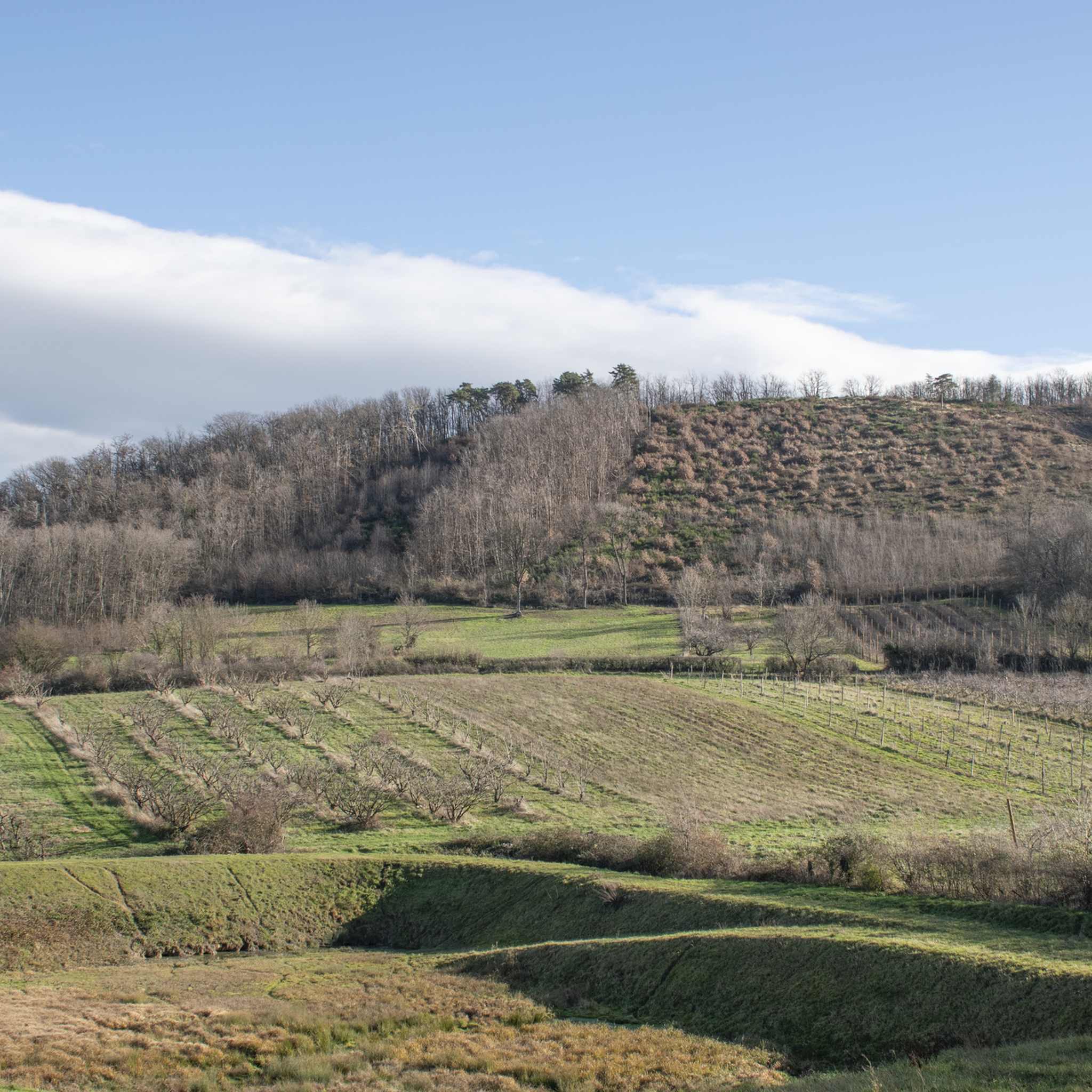
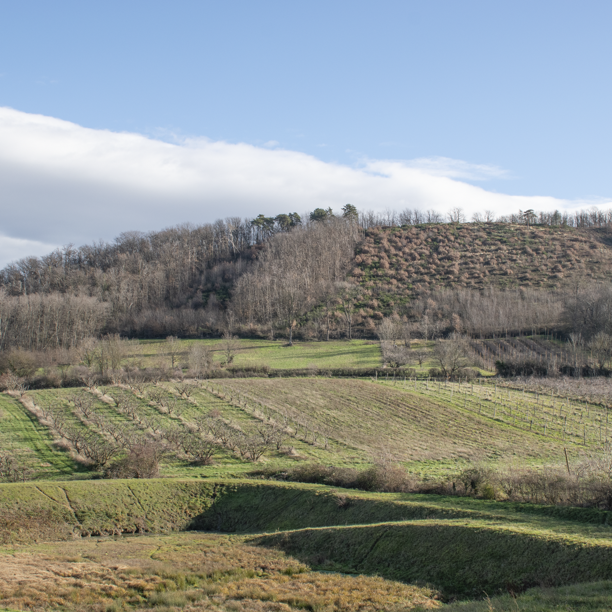
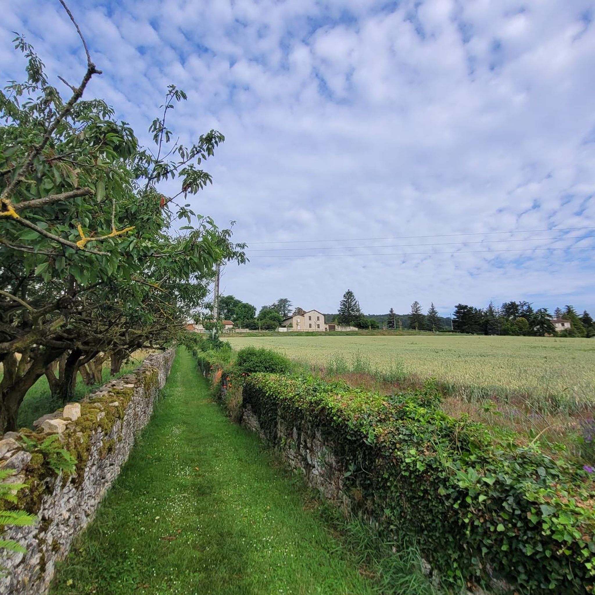
Hiking trails around Les Chères offer diverse experiences within the Monts d'Or massif in eastern France. The region features a varied topography, including vineyards, dense forests, and elevated points providing panoramic views. Trails often present a mix of flat paths, wooded areas, and prairies, with some sections involving ascents and descents. This landscape provides opportunities for various hiking abilities, from gentle walks to more challenging treks.
Best hiking trails around Les Chères
- The most popular hiking route is Ruins in…
Last updated: June 26, 2026
4.5
(2)
33
hikers
Easy hike. Great for any fitness level. Easily-accessible paths. Suitable for all skill levels.
4.3
(4)
22
hikers
11.3km
03:28
410m
410m
Moderate hike. Good fitness required. Easily-accessible paths. Suitable for all skill levels.

Sign up for free
5.0
(2)
22
hikers
17.0km
05:23
690m
690m
Hard hike. Very good fitness required. Mostly accessible paths. Sure-footedness required.
5.0
(5)
24
hikers
6.53km
01:53
170m
170m
Easy hike. Great for any fitness level. Easily-accessible paths. Suitable for all skill levels.
4.8
(5)
57
hikers
15.7km
04:33
410m
410m
Moderate hike. Good fitness required. Easily-accessible paths. Suitable for all skill levels.
Get access to more routes and recommendations from other explorers.
Sign up for free
Already have an account?
Our route recommendations are based on thousands of hikes, rides, and runs completed by other people on komoot.
Start today with a free account
Your next adventure awaits.
Login or Signup

Tips from the Community


I've done it several times and I always enjoy it the same way. Life is wonderful, but it's cold in winter 🥶
1
0

a climb with a fairly narrow path at the end.
0
0


Magnificent golden stone village overlooking the valley
0
0
Pretty Madonna hidden in the vegetation
0
0
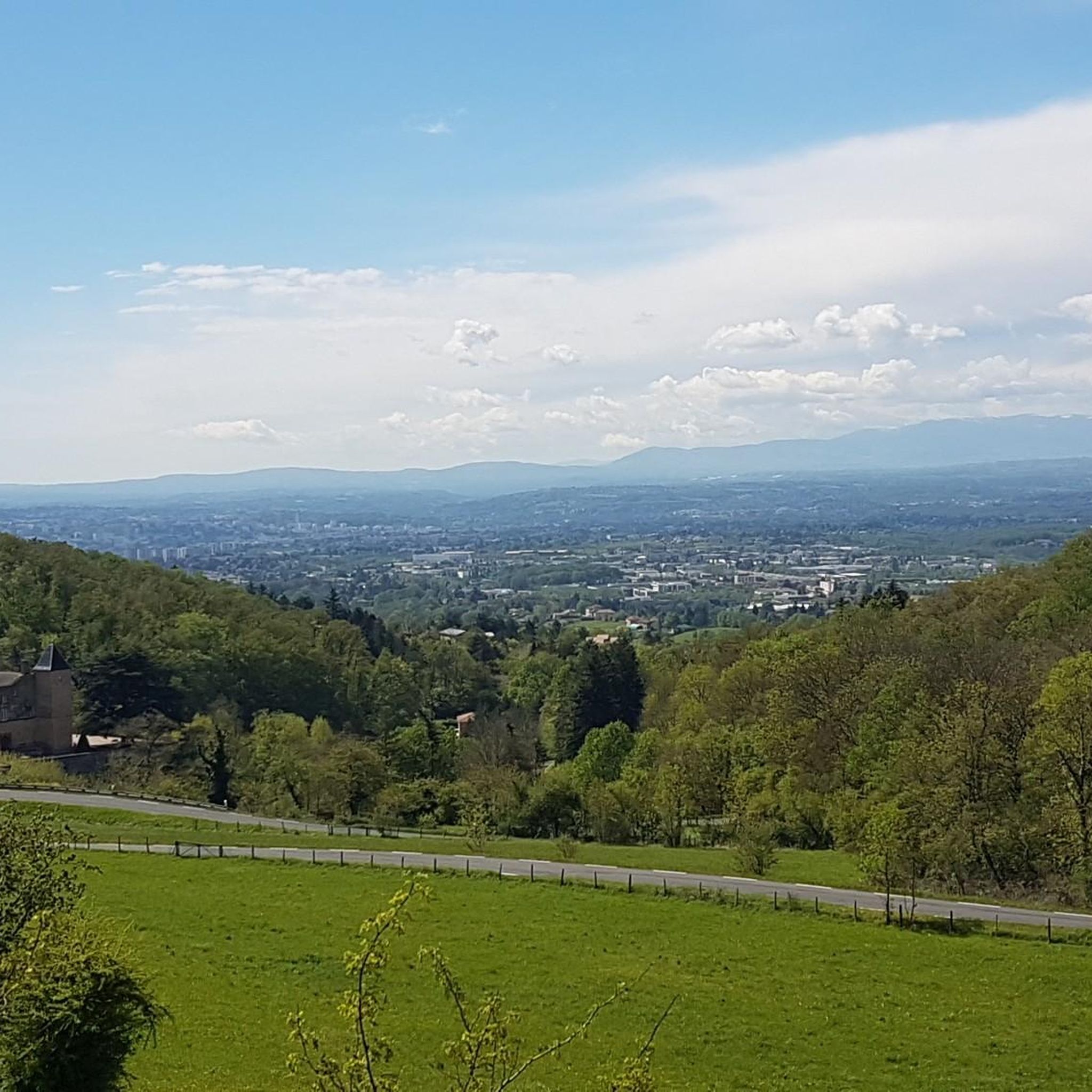
Beautiful view of Beaujolais
0
0
Frequently Asked Questions
How many hiking trails are available around Les Chères?
There are over 540 hiking routes available around Les Chères, offering a wide range of experiences within the scenic Monts d'Or massif. These trails cater to various abilities, from easy strolls to more challenging treks.
What kind of terrain and difficulty levels can I expect on hikes near Les Chères?
The terrain around Les Chères is varied, featuring picturesque vineyards, dense forests, and open prairies. You'll encounter a mix of flat paths, wooded areas, and sections with ascents and descents. The routes range from easy (over 240 trails) and moderate (over 280 trails) to difficult (18 trails), ensuring options for all fitness levels.
Are there any trails with panoramic views or notable landmarks?
Yes, the Monts d'Or massif is known for its stunning viewpoints. Elevated points like Mont Thou and Mount Cindre offer magnificent panoramic views over the Saône or Rhône valley and the city of Lyon. On clear days, you might even spot the Alps and Mont Blanc. Additionally, trails like the Chemin des Cabornes in Poleymieux-au-Mont-d'Or feature traditional dry-stone shelters and offer great vistas.
Are there any family-friendly hiking options around Les Chères?
Yes, many of the over 240 easy trails are suitable for families. These routes often wind through gentle vineyards and forests, providing pleasant walks without significant challenges. For example, the Restaurant Guy Lassaussaie loop from Chasselay is an easy 4.0-mile (6.5 km) trail that can be completed in under two hours.
Can I bring my dog on the hiking trails in Les Chères?
The Monts d'Or region generally welcomes dogs on its hiking trails. However, it's always advisable to keep your dog on a leash, especially when passing through vineyards, near livestock, or in areas where wildlife might be present. Always carry water for your pet and ensure you clean up after them.
Are there any circular hiking routes available?
Yes, the area around Les Chères offers numerous circular routes, perfect for day trips. Many trails are designed as loops, often starting from nearby villages like Chasselay or Poleymieux-au-Mont-d'Or. An example is the Ruins in the Bois de la Roche – Madonna of Chasselay loop from Chasselay, an easy 3.8-mile (6.1 km) circular trail.
What is the best time of year to go hiking in Les Chères?
The Monts d'Or region is enjoyable for hiking throughout much of the year. Spring and autumn offer pleasant temperatures and beautiful scenery, with blooming flora in spring and vibrant colors in autumn. Summer can be warm, so early morning or late afternoon hikes are recommended. Winter hiking is possible, but some passages might be muddy or slippery in wet or snowy conditions.
Are there historical sites or castles to see while hiking?
Yes, the region is dotted with historical elements. You can explore charming local villages and spot private castles. For instance, the The Old Still of Charnay – Charnay Village and Castle loop from Lucenay passes by Charnay Village and Castle. The trail leading to the Batterie des Carrières from Chasselay also offers views of a perfectly restored lime kiln.
What do other hikers enjoy most about hiking in Les Chères?
The area is highly rated by the komoot community, with an average score of 4.5 stars from over 1,500 reviews. Hikers often praise the diverse landscapes, including picturesque vineyards and dense forests, as well as the rewarding panoramic views from elevated points. The variety of trails catering to different difficulty levels is also a frequently mentioned positive aspect.
Are there any longer, more challenging hikes for experienced trekkers?
Yes, for experienced hikers seeking a challenge, there are 18 difficult routes available. A notable example is the Ruins in the Bois de la Roche – Mont Thoux Nord loop from Chasselay, a difficult 10.5-mile (17.0 km) path with significant elevation changes, ascending 687 meters.
Is there public transport access to the hiking areas around Les Chères?
While Les Chères itself is a smaller commune, the broader Monts d'Or region, including villages like Chasselay and Poleymieux-au-Mont-d'Or which serve as trailheads, can be accessed by public transport from larger nearby cities like Lyon. It's recommended to check local bus schedules for specific routes to the starting points of your chosen hikes.
Where can I find parking for hiking trails in Les Chères?
Many trailheads in the villages surrounding Les Chères, such as Chasselay and Poleymieux-au-Mont-d'Or, offer designated parking areas for hikers. It's generally easy to find parking in these smaller communities, especially near popular starting points for circuits.
Most popular routes around Les Chères
Most popular attractions around Les Chères

Get inspired with the komoot mobile app


Explore more
Browse the best Hikes in other regions.
