The best walks and hikes around Montbazin
4.4
(741)
4,764
hikers
307
hikes
Hiking around Montbazin offers access to varied landscapes in the Hérault department, situated between the hills of La Moure and La Gardiole. The region features a mix of low hills, Mediterranean garrigue, and extensive vineyards, with paths often providing views towards the Thau Lagoon and the Mediterranean Sea. Montbazin is located within a Natura 2000 protected zone, highlighting its ecological significance. The terrain is characterized by a network of paths connecting villages and natural points of interest, including marly limestone…
Last updated: August 19, 2026
4.3
(13)
92
hikers
13.4km
03:41
210m
210m
Moderate hike. Good fitness required. Easily-accessible paths. Suitable for all skill levels.
4.3
(7)
55
hikers
16.5km
04:29
240m
240m
Moderate hike. Good fitness required. Easily-accessible paths. Suitable for all skill levels.

Sign up for free
4.0
(1)
19
hikers
13.9km
03:59
330m
330m
Moderate hike. Good fitness required. Easily-accessible paths. Suitable for all skill levels.
16
hikers
16.9km
04:48
370m
370m
Moderate hike. Good fitness required. Easily-accessible paths. Suitable for all skill levels.
9
hikers
5.70km
01:36
120m
120m
Easy hike. Great for any fitness level. Easily-accessible paths. Suitable for all skill levels.
Get access to more routes and recommendations from other explorers.
Sign up for free
Already have an account?
Our route recommendations are based on thousands of hikes, rides, and runs completed by other people on komoot.
Start today with a free account
Your next adventure awaits.
Login or Signup
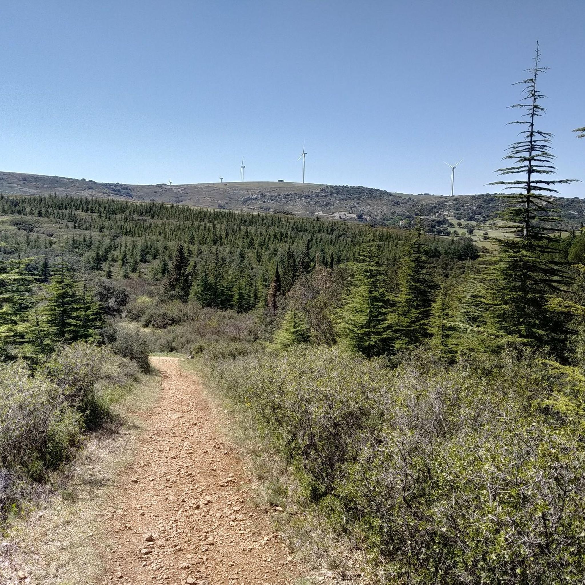
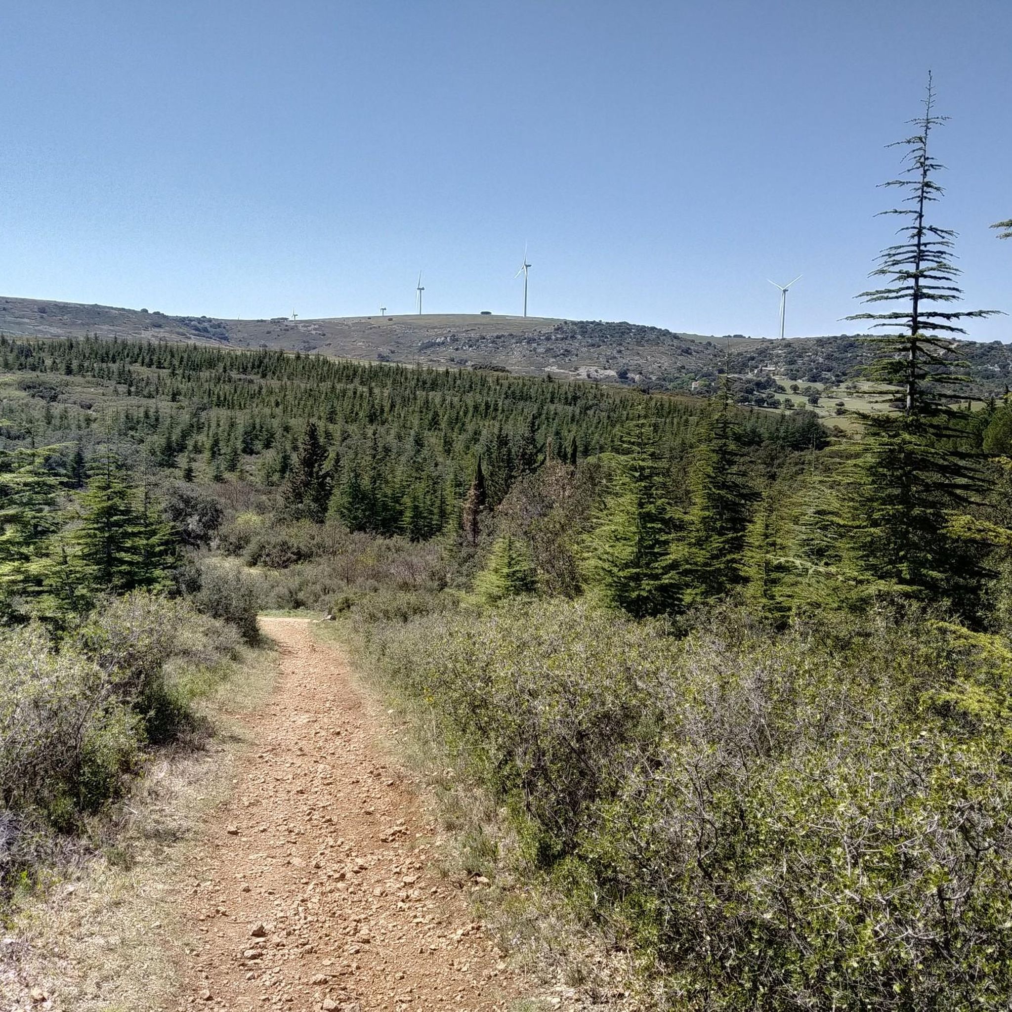
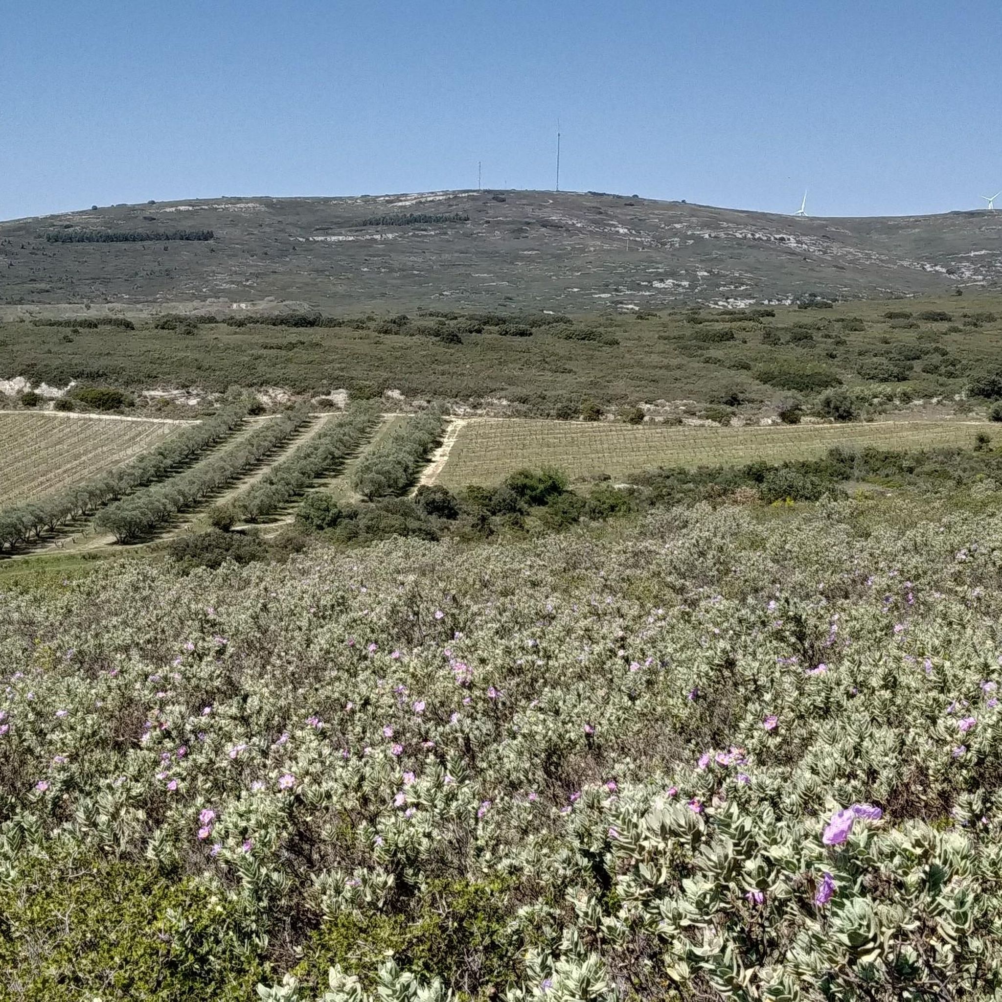
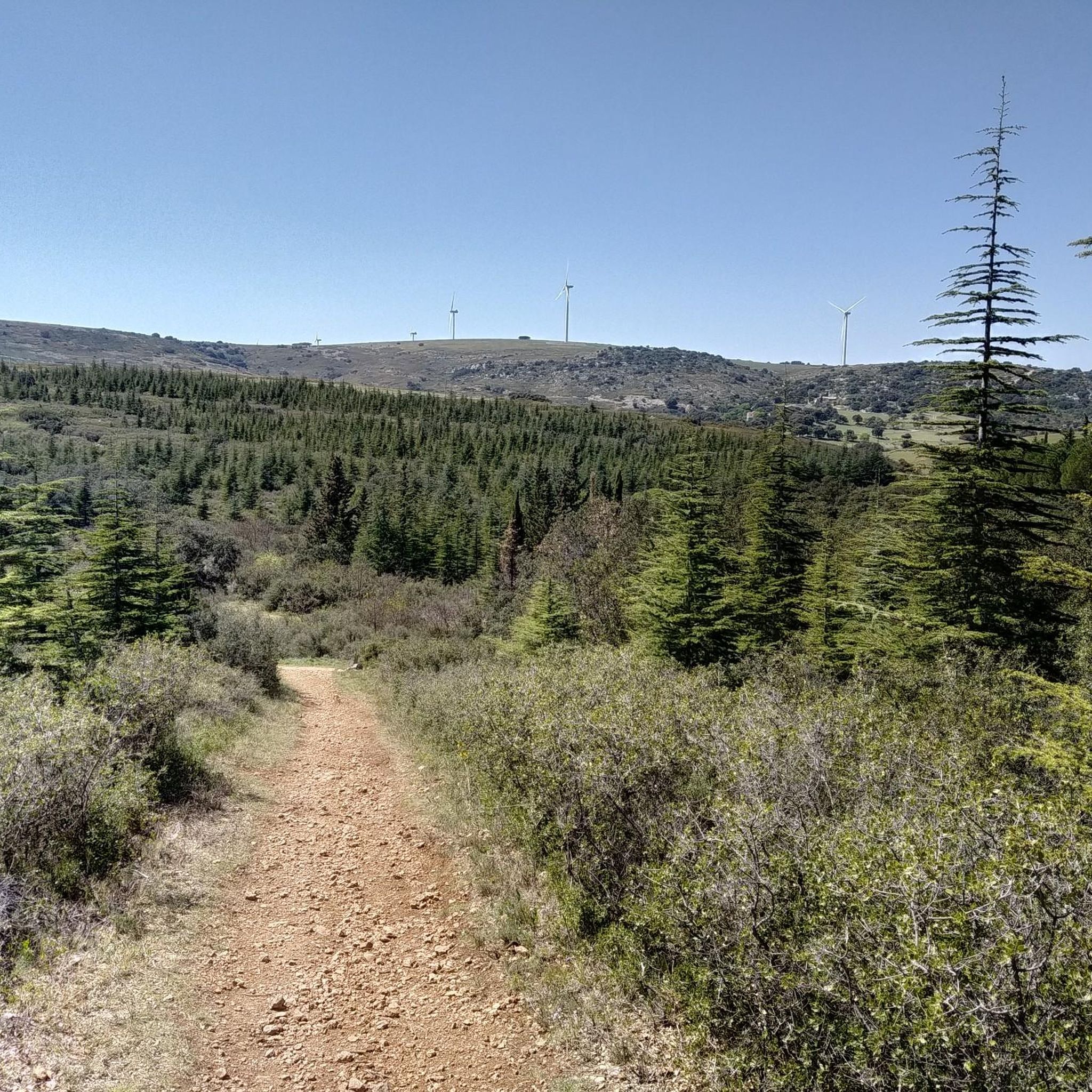
Tips from the Community

A little-known viewpoint, yet easily accessible on foot or by mountain bike. Take the small path that climbs gently from the crossroads.
0
0

Loop trail around the abbey poorly marked. I ended up on the road.
0
0

Very long but nice climb 👍
0
0
Very long but nice climb
0
0
Magnificent viewpoint 👍
0
0
Yes, a very beautiful climb to get to the abbey, a magnificent, top place 👍👍
0
0

A place where many paths cross: small paths and very wide paths allowing access to emergency services for cyclists and strollers. Magnificent panorama of the Thau lagoon, Sete and in the distance the Cap d'Agde. On the highest point the rock of Anduze (234 meters) we had our lunch with a splendid 360 degree view.
0
0

Magnificent view of the coast
0
0
Frequently Asked Questions
How many hiking trails are available around Montbazin?
There are nearly 300 hiking routes available around Montbazin, offering a wide variety of options for different skill levels and preferences. You'll find a balanced mix of easy and moderate trails, with a few more challenging options for experienced hikers.
Are there easy hiking trails suitable for beginners or families in Montbazin?
Yes, Montbazin offers many easy trails perfect for beginners or families. For instance, the Saint-Félix-de-Monceau abbey – View of Vic-la-Gardiole loop from Gigean is an easy 5.8 km (3.6 miles) route that takes about 1 hour 40 minutes, exploring historical abbey grounds and scenic viewpoints. Another accessible option is the Saints Peter and Paul Church – Historic Center of Poussan loop from Poussan, which is 7.3 km (4.5 miles) and also rated easy.
What kind of scenery can I expect on hikes around Montbazin?
Hiking around Montbazin offers diverse scenery, characterized by low hills, agricultural landscapes, and Mediterranean garrigue. Many routes provide views towards the coast, the Étang de Thau, or historical sites. You'll encounter a network of paths connecting charming villages and natural points of interest.
Are there any circular walks or loop hikes in the Montbazin area?
Yes, many of the trails around Montbazin are designed as circular routes. A popular moderate option is the Surroundings of Montbazin loop from Montbazin, which is 12.5 km (7.7 miles) long. Another great loop is the View of Vic-la-Gardiole – Abbaye Saint Félix de Montceau loop from Gigean, a moderate 16.5 km (10.2 miles) path featuring views towards Vic-la-Gardiole and historical abbey ruins.
What interesting landmarks or natural attractions can I see while hiking near Montbazin?
The region around Montbazin is rich in natural and historical sights. You can explore the Salines de Villeneuve Nature Reserve, enjoy views of the Vic Pond, or discover the Bouzigues oyster farms and views of the Étang de Thau. There are also stunning viewpoints like the Stunning view of the Thau Lagoon and Sète, and the View of a remarkable geological formation.
Is Montbazin a good destination for dog-friendly walks?
Montbazin's varied terrain and network of paths through garrigue and agricultural land generally offer good opportunities for walks with dogs. It's always recommended to keep dogs on a leash, especially near livestock or in protected natural areas like the Salines de Villeneuve Nature Reserve, and to check local regulations for specific trails.
What is the best time of year to go hiking in Montbazin?
The Mediterranean climate of Montbazin makes spring (April-June) and autumn (September-November) ideal for hiking, with pleasant temperatures and blooming flora or vibrant fall colors. Summers can be hot, so early morning or late afternoon hikes are preferable, while winters are generally mild, allowing for year-round exploration.
Are there any hikes with significant elevation gain for a challenge?
While Montbazin is known for its low hills and moderate elevation, some routes offer more significant climbs. For example, the View from Roc d'Anduze – View of Vic-la-Gardiole loop from Issanka, a moderate 11.9 km (7.4 miles) trail, includes an elevation gain of approximately 247 meters (810 feet), providing a good workout and rewarding views.
What do other hikers say about the trails in Montbazin?
The hiking routes in Montbazin are highly regarded by the komoot community, holding an average score of 4.5 stars from over 600 reviews. Hikers frequently praise the diverse landscapes, the well-maintained paths, and the opportunities to combine nature with historical exploration and coastal views.
Is public transport available to access hiking trailheads around Montbazin?
Montbazin is a small town in the Hérault department. While local bus services connect Montbazin to nearby towns, direct public transport access to specific, more remote trailheads might be limited. It's advisable to check local bus schedules for connections to villages like Gigean or Poussan, which serve as starting points for several routes.
Where can I park my car when hiking in Montbazin?
Parking is generally available in the villages and towns that serve as starting points for hikes, such as Montbazin itself, Gigean, or Poussan. Look for designated public parking areas within these communities. For specific trailheads, it's often possible to find roadside parking, but always ensure you are not obstructing local access or private property.
Most popular routes around Montbazin
Most popular attractions around Montbazin

Get inspired with the komoot mobile app


Explore more
Browse the best Hikes in other regions.
