The best cycling routes around Saint-Sauveur
4.5
(627)
3,685
riders
190
rides
Touring cycling around Saint-Sauveur offers routes through varied landscapes, including dense forests and river valleys. The region features a mix of flat sections and gentle rolling hills, with some routes incorporating historical sites. Elevations are generally moderate, providing accessible cycling for various skill levels.
Best touring cycling routes around Saint-Sauveur
- The most popular touring cycling route is Champlieu Roman Ruins and Compiègne Forest Loop, a 12.1 miles (19.5 km) trail that takes 1 hour 22 minutes to complete. This…
Last updated: October 19, 2026
1
riders
19.5km
01:22
210m
210m
Moderate bike ride. Good fitness required. Some segments of this route may be unpaved and difficult to ride.
4.4
(12)
38
riders
25.9km
01:32
120m
120m
Easy bike ride. Great for any fitness level. Mostly paved surfaces. Suitable for all skill levels.

5.0
(2)
17
riders
39.3km
02:19
150m
150m
Moderate bike ride. Good fitness required. Mostly paved surfaces. Suitable for all skill levels.
5.0
(1)
17
riders
Hard bike ride. Very good fitness required. You may need to push your bike for some segments of this route.
4.0
(1)
8
riders
41.8km
02:34
230m
230m
Moderate bike ride. Good fitness required. Mostly paved surfaces. Suitable for all skill levels.
Get access to more routes and recommendations from other explorers.
Already have an account?
Our route recommendations are based on thousands of hikes, rides, and runs completed by other people on komoot.
Start today with a free account
Your next adventure awaits.
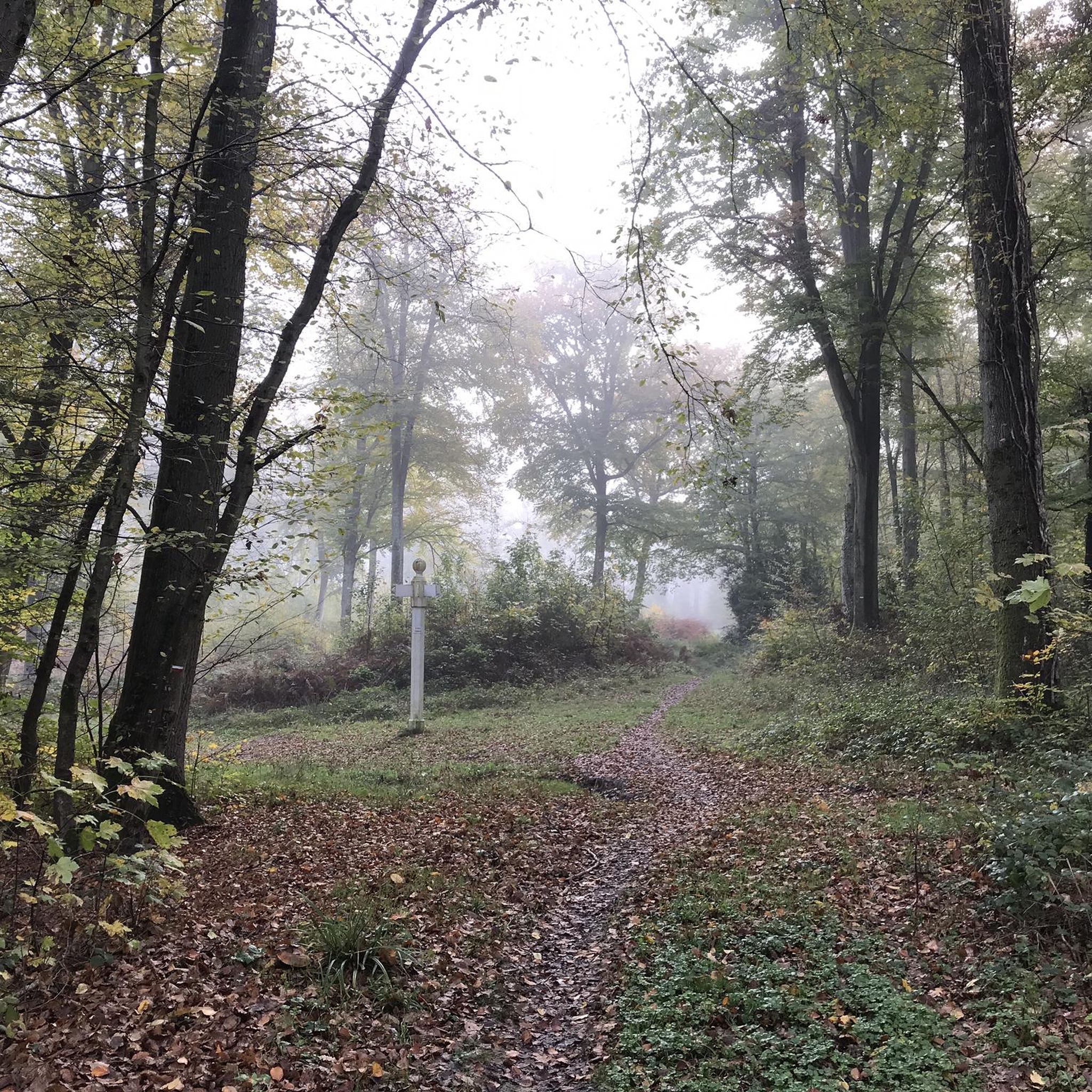
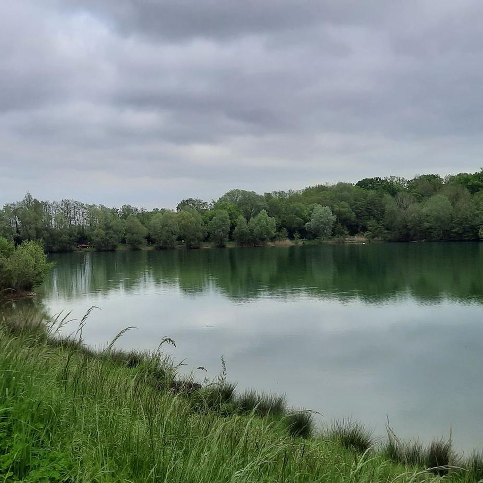
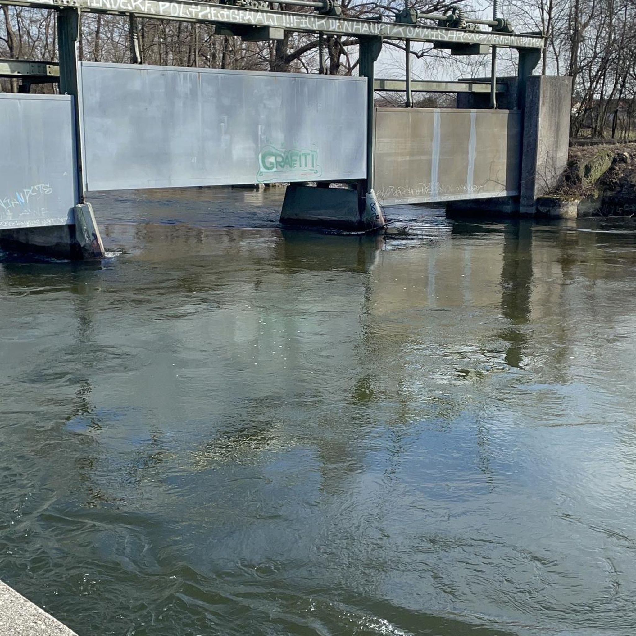
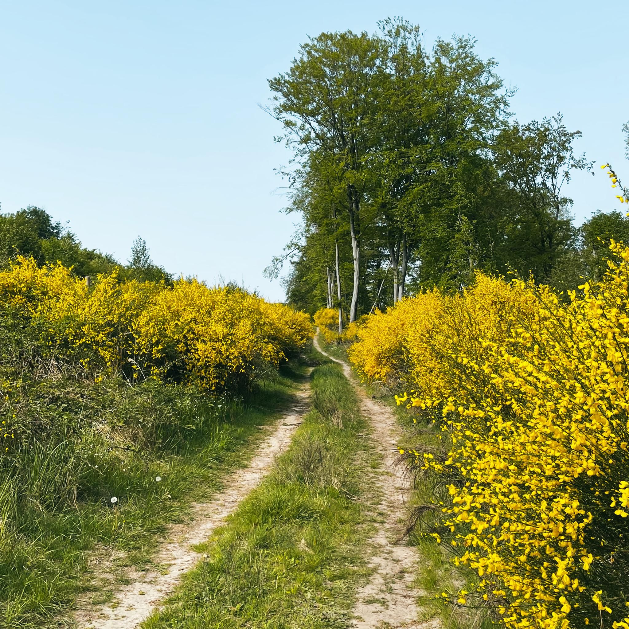

Tips from the Community

Beautiful site to explore in its entirety.
0
0
One of the two bridges of Compiègne to cross the Oise.
0
0


beautiful hill with a small section at 9%. Nice little village café just before the hill to regain strength
0
0

One of the largest bridges in the city of Compiègne owes its construction to Louis XV. An obelisk was erected in the center of the bridge during its reconstruction in 1949.
2
0
The square itself houses a statue of Joan of Arc, a tribute to the city's historical connection to this iconic figure. The Town Hall, with its rich history and stunning architecture, continues to captivate visitors, offering a glimpse into the past while remaining a vibrant part of Compiègne's present.
2
0
The architecture of the town hall is a true feast for the eyes. The central structure is dominated by a tall bell tower, flanked by two turrets connected by a decorative railing. This imposing façade, 47 meters high and 24 meters wide, is decorated with striking Gothic elements such as pinnacles and basket arches. The large niche now houses a high relief depicting the equestrian statue of Louis XII. It is an original creation from 1869 by the sculptor Henri-Alfred Jacquemart in the realistic style so prevalent at the time. However, contrary to the usual appearance of equestrian statues during the reign of Louis XII, Henri-Alfred Jacquemart chose not to build a horse walking "à l'amble," that is, with both straight legs raised simultaneously. On October 12, 1530, a clock was placed on the summit of the bell tower. From that time on, every quarter of an hour, she animated three wooden jaquemarts with bell hammers. The Compiègneis quickly gave them three nicknames corresponding to the enemies of the time: Langlois for the English, Flandrin for the Flemish, and Lansquenet for the Germans. Even today, they chant the life of the city by "punching the time," that is, by striking their hammer to strike the hours.
2
0

A lovely section of trail through the ponds. It's well-surfaced and very quiet.
2
0
Frequently Asked Questions
How many touring cycling routes are available around Saint-Sauveur?
There are nearly 200 touring cycling routes available around Saint-Sauveur, catering to various skill levels. This includes over 80 easy routes, 83 moderate routes, and 36 more challenging options.
Are there any easy touring cycling routes suitable for beginners in Saint-Sauveur?
Yes, Saint-Sauveur offers a good selection of easy routes for beginners. For example, the Champlieu Roman Ruins and Compiègne Forest Loop is a moderate 12.1-mile (19.5 km) route that explores ancient ruins and tranquil forests, making it accessible for those new to touring cycling.
What kind of terrain can I expect on touring cycling routes in Saint-Sauveur?
The region around Saint-Sauveur features varied landscapes, including dense forests and river valleys. You'll find a mix of flat sections and gentle rolling hills, with generally moderate elevations. Some routes also incorporate historical sites, adding to the scenic diversity.
Are there any circular touring cycling routes in the Saint-Sauveur area?
Yes, many touring cycling routes in Saint-Sauveur are designed as loops. An example is the Compiègne Town Hall – On the banks of the Oise loop from Saintines, a 24.5-mile (39.4 km) moderate path that follows the Oise river and passes through urban areas.
What historical sites or attractions can I see along the touring cycling routes?
Many routes pass by significant historical sites and attractions. You could explore the Pierrefonds Castle, the Château de Compiègne, or the Douye Castle. The Saint-Rémy Church of Roberval – Royal Abbey of Moncel loop from Béthisy-Saint-Pierre is a 30.9-mile (49.8 km) route specifically leading through historical sites and rural landscapes.
What is the best time of year for touring cycling in Saint-Sauveur?
The best time for touring cycling in Saint-Sauveur is generally from spring to autumn. During these seasons, the weather is pleasant, and the natural landscapes, including forests and river valleys, are at their most vibrant. Summer offers longer daylight hours, ideal for longer rides.
Are there any longer or more challenging touring cycling routes for experienced riders?
For experienced riders seeking a challenge, there are 36 difficult routes available. The Château de la Douye loop from Béthisy-Saint-Martin is a moderate 37.4-mile (60.1 km) route with over 340 meters of elevation gain, offering a more demanding ride through the region.
What do other touring cyclists say about the routes in Saint-Sauveur?
The touring cycling routes in Saint-Sauveur are highly rated by the komoot community, with an average score of 4.6 stars from over 400 reviews. Cyclists often praise the varied terrain, the mix of forest paths and river views, and the opportunity to explore historical sites.
Are there any touring cycling routes that pass through scenic viewpoints?
Yes, the region offers routes with scenic views. While specific viewpoints vary, many routes traverse river valleys and forests, providing picturesque landscapes. The Beaux Monts Viewpoint is a notable highlight in the area, offering panoramic vistas that can be incorporated into longer rides.
Is there parking available near the touring cycling routes in Saint-Sauveur?
Parking is generally available in and around the towns and villages that serve as starting points for many routes, such as Saint-Sauveur itself or Béthisy-Saint-Pierre. It's advisable to check local parking options for specific trailheads before your ride.
Can I reach the touring cycling routes using public transport?
Public transport options, such as regional trains or buses, can connect you to larger towns in the Saint-Sauveur area, from which many routes begin. However, access to specific trailheads might require a short ride or walk from public transport stops. It's best to research specific connections for your chosen starting point.
Are there any family-friendly touring cycling routes in Saint-Sauveur?
Many of the 80+ easy routes in Saint-Sauveur are suitable for families, especially those with gentle gradients and well-maintained surfaces. These routes often pass through forests or along riverbanks, providing a pleasant and safe environment for family outings. The Château de la Douye – Château de Douye loop from Saint-Sauveur, a moderate 26-mile (41.8 km) route, offers a scenic ride that could be adapted for older children.
Most popular routes around Saint-Sauveur
Most popular attractions around Saint-Sauveur

Get inspired with the komoot mobile app


Explore more
Browse the best Cycling routes in other regions.
