The best running trails around Saint-Sornin-La-Marche
4.3
(8)
111
runners
28
runs
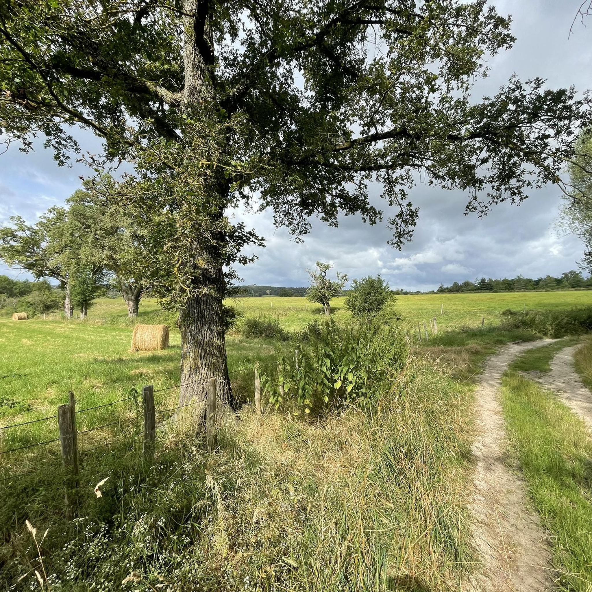
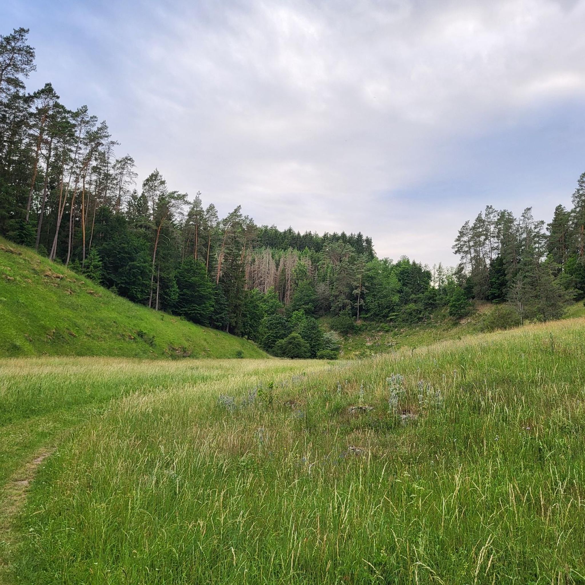
Jogging routes Saint-Sornin-La-Marche are set within the Haute-Vienne department, characterized by a blend of extensive forests, meandering rivers, and rolling green hills. This diverse topography provides varied terrain for running, from challenging uphill sections to gentler paths. The region's natural environment offers an immersive atmosphere for physical activity.
Best jogging routes around Saint-Sornin-La-Marche
- The most popular jogging route is Saint-Ouen-sur-Gartempe and the old Pont de Beissat on the Gartempe – running loop, a 6.6 miles (10.6 km) trail that…
Last updated: July 1, 2026
5.0
(2)
2
runners
Moderate run. Good fitness required. Mostly paved surfaces. Suitable for all skill levels.
21
runners
9.22km
00:58
70m
60m
Moderate run. Good fitness required. Mostly paved surfaces. Suitable for all skill levels.

Sign up for free
3.0
(1)
8
runners
5.44km
00:34
30m
30m
Moderate run. Good fitness required. Mostly paved surfaces. Suitable for all skill levels.
5.0
(1)
5
runners
9.31km
01:01
70m
70m
Moderate run. Good fitness required. Mostly paved surfaces. Suitable for all skill levels.
5
runners
10.1km
01:08
170m
170m
Moderate run. Good fitness required. Mostly paved surfaces. Suitable for all skill levels.
Get access to more routes and recommendations from other explorers.
Sign up for free
Already have an account?
Our route recommendations are based on thousands of hikes, rides, and runs completed by other people on komoot.
Start today with a free account
Your next adventure awaits.
Login or Signup


Tips from the Community

The Beissat Bridge is a 13th century Gothic structure, listed as a historical monument by decree of 23 November 1970. The oldest mention of this bridge is the allusion to a transaction in 1470 relating to neighbouring mills. A toll on this bridge, probably in force for a long time, was closed in 1660. The structure formerly linked Bellac to Le Dorat. It consists of four arches, the middle one being semicircular and the other three being pointed arches. The piers are very wide and the profile is humpbacked. The spurs have a very sharp acute angle. In 1567, Monsieur de La Messelière's company broke the bridge to stop the Huguenot army. It was certainly at this time that the semicircular arch was rebuilt.
0
0

The Stone Bridge dates 13th and 14th centuries. The bridge was registered as a historic monument on May 23, 1969.
0
0

The bridge dates from the 13th century and is considered a link between neighboring mills. In 1660, you had to pay a toll to cross it.
2
0
The bridge dates from the 13th century and is considered a link between neighboring mills. In 1660, you would have had to pay a toll to cross it.
2
0
Frequently Asked Questions
How many running routes are available around Saint-Sornin-La-Marche?
There are over 25 dedicated running routes in the Saint-Sornin-La-Marche area, offering a variety of distances and experiences. These trails are set within the diverse landscapes of the Haute-Vienne department.
What kind of terrain can I expect on the running trails in this region?
You can expect a varied terrain, characteristic of the Haute-Vienne department. Trails often feature a blend of extensive forests, meandering rivers, and rolling green hills. This provides options ranging from challenging uphill sections to gentler, flatter paths, ensuring a dynamic experience for runners.
Are there any circular running routes available?
Yes, many of the running routes around Saint-Sornin-La-Marche are circular, allowing you to start and finish at the same point. For example, the Saint-Ouen-sur-Gartempe and the old Pont de Beissat on the Gartempe – running loop is a popular 10.6 km option, and the Running loop from Val-d'Oire-et-Gartempe offers a moderate 9.2 km circuit.
What scenic views or landmarks can I see while jogging in the area?
The routes offer ample opportunities to enjoy panoramic views of the undulating landscapes, forests, and tranquil agricultural fields. You might also encounter historical elements such as the Old Bridge of Beissat over the Gartempe, or pass near charming villages and towns like Le Dorat, known for its fortified architecture and the Collegiate Church of St-Pierre-du-Dorat.
Are there running routes suitable for families or beginners?
While most routes are moderate, there are options that can be enjoyed by families or those new to running. The region's greenways, built on old railway lines, provide flat and protected natural environments ideal for gentler runs. For a shorter, moderate option, consider the Running loop from Bellac, which is about 5.4 km.
What is the typical difficulty level of running trails in Saint-Sornin-La-Marche?
The majority of running trails in Saint-Sornin-La-Marche are classified as moderate, making them suitable for runners with some experience. There are also a few more challenging routes for those seeking a greater workout, but no easy routes are specifically listed.
Can I bring my dog on the running trails?
Generally, dogs are welcome on many of the natural trails in the Haute-Vienne department, provided they are kept on a leash and you clean up after them. It's always a good idea to check local signage for any specific restrictions on individual paths or protected natural areas.
What do other runners enjoy most about the trails in Saint-Sornin-La-Marche?
The running routes in Saint-Sornin-La-Marche are highly rated by the komoot community, with an average score of 4.5 stars. Runners often praise the immersive natural environment, the varied terrain, and the picturesque scenery that offers a refreshing backdrop for physical activity.
Are there any dedicated greenways or flat paths for running?
Yes, the region features a 13 km "voie verte" (greenway) built on an old railway line. This provides a flat and protected natural environment that is ideal for running, offering a smooth surface away from traffic and through scenic landscapes.
Are there longer running routes for experienced runners seeking a challenge?
While most routes are moderate, the diverse topography of the Haute-Vienne department allows for longer and more challenging runs, especially when combining sections or exploring areas closer to regional natural parks. The Saint-Ouen-sur-Gartempe and the old Pont de Beissat on the Gartempe – running loop at 10.6 km and the Pont de la Pierre loop from Bellac at 10.1 km offer good distances with moderate elevation changes.
What natural features might I encounter while running in this area?
You'll experience the rich and untamed natural environment of the Haute-Vienne, characterized by extensive forests, meandering rivers like the Gartempe, and undulating green hills. The region's proximity to areas like the Périgord-Limousin Regional Natural Park means you might also encounter diverse ecosystems and wildlife.
Most popular routes around Saint-Sornin-La-Marche
Most popular attractions around Saint-Sornin-La-Marche

Get inspired with the komoot mobile app


Explore more
Browse the best Running Trails & Routes in other regions.
