Saint-Julien-En-Beauchêne
Saint-Julien-En-Beauchêne
The best walks and hikes around Saint-Julien-En-Beauchêne
4.5
(497)
3,847
hikers
97
hikes
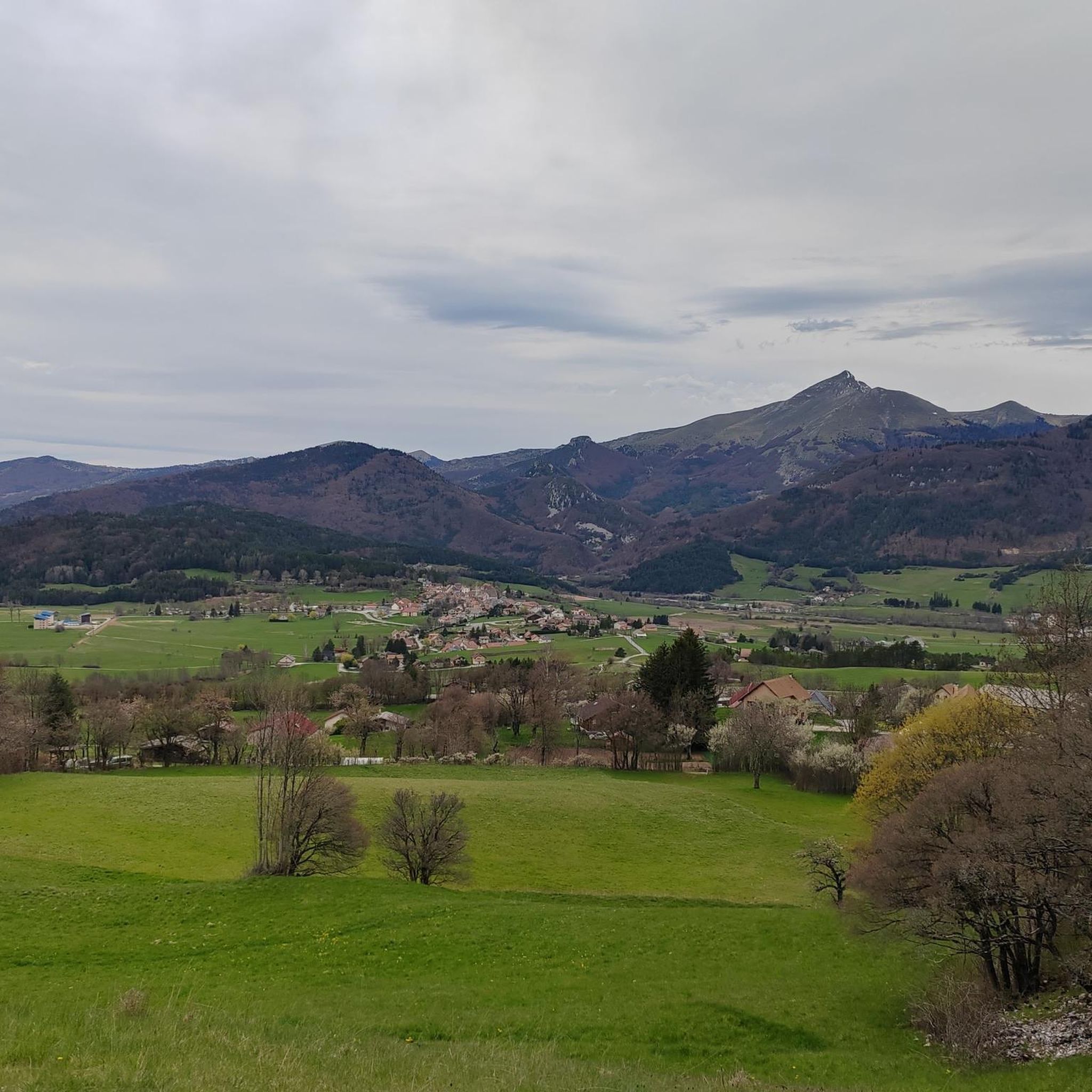
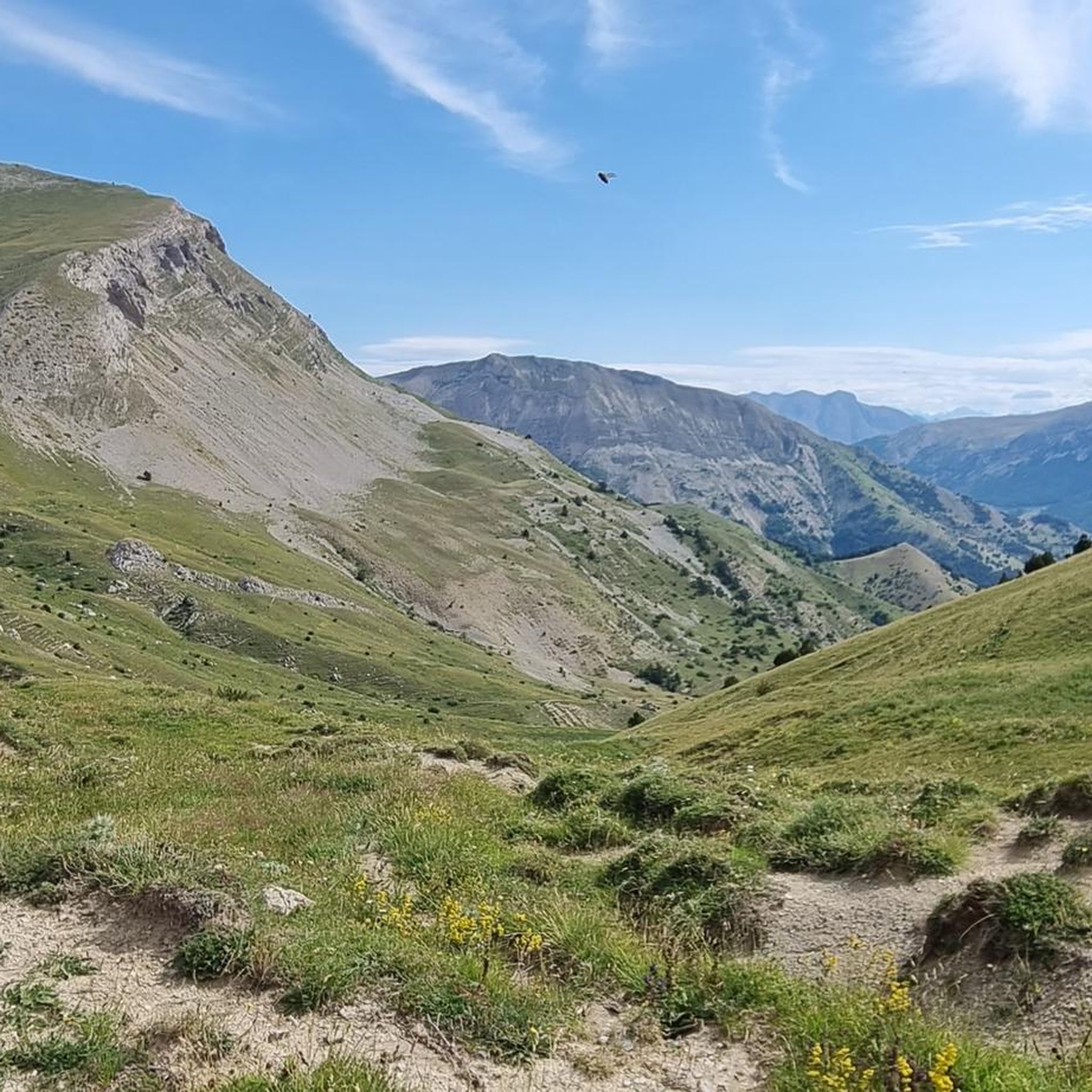
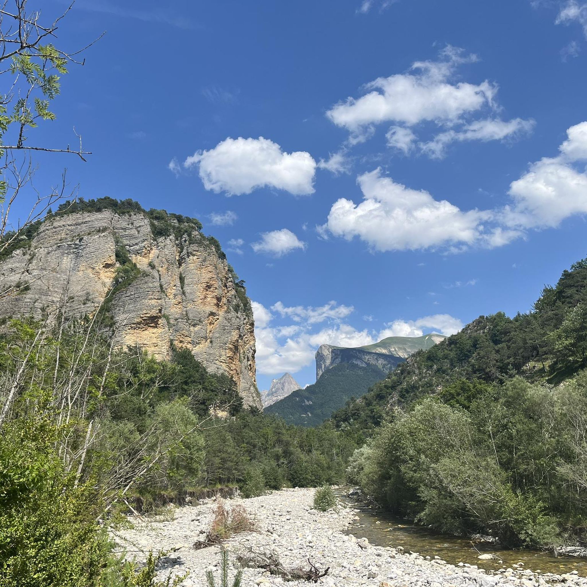
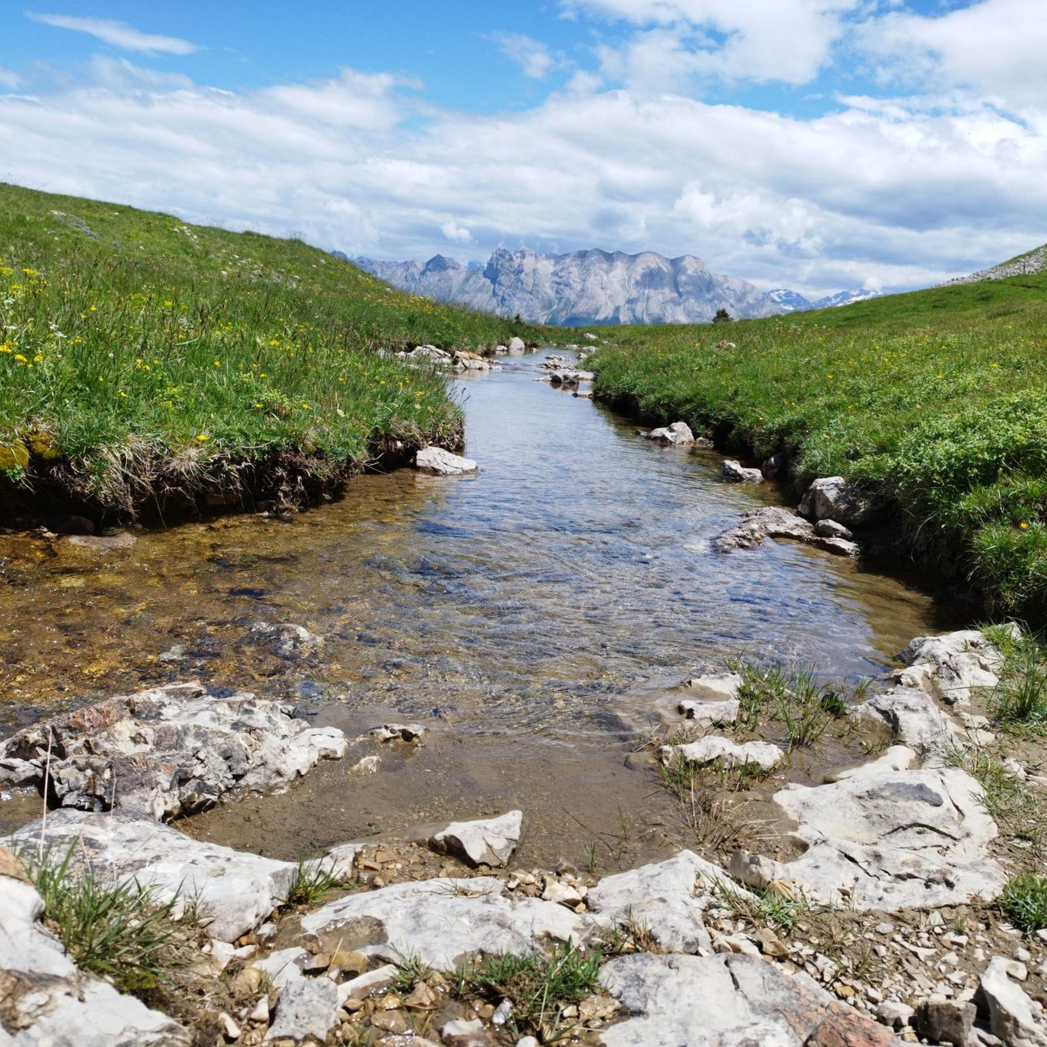
Hiking around Saint-Julien-En-Beauchêne offers access to the diverse natural environment of the Hautes-Alpes department in southeastern France. The region features mountainous terrain with varied elevations, providing trails through boxwood and beech woods, conifer forests, and alpine pastures. Hikers can encounter wild nature and panoramic views, with routes often leading to impressive summits. The landscape includes mineral environments with rocks and stones, alongside lakes and streams.
Best hiking trails around Saint-Julien-En-Beauchêne
- The most popular hiking route is Chamousset and Grand Chamousset…
Last updated: July 15, 2026
5.0
(6)
41
hikers
11.4km
05:07
740m
740m
Hard hike. Very good fitness required. Mostly accessible paths. Sure-footedness required.
4.6
(23)
93
hikers
5.88km
02:01
310m
320m
Moderate hike. Good fitness required. Easily-accessible paths. Suitable for all skill levels.

Sign up for free
4.0
(5)
42
hikers
9.66km
03:11
430m
430m
Moderate hike. Good fitness required. Easily-accessible paths. Suitable for all skill levels.
4.3
(3)
29
hikers
8.76km
02:31
210m
210m
Moderate hike. Good fitness required. Easily-accessible paths. Suitable for all skill levels.
4.7
(3)
28
hikers
9.06km
04:13
640m
640m
Hard hike. Good fitness required. Sure-footedness, sturdy shoes and alpine experience required.
Get access to more routes and recommendations from other explorers.
Sign up for free
Already have an account?
Our route recommendations are based on thousands of hikes, rides, and runs completed by other people on komoot.
Start today with a free account
Your next adventure awaits.
Login or Signup

Tips from the Community

Uphill a bit steep for walking. Sometimes down too. Also due to loose subsoil. Ronde was an “inspiration” from Komoot.
0
0

From the summit at 1,930 meters there are beautiful views of the valleys. Easily included in the Chamousset hike!
0
0
The summit is located at an altitude of 2,089 meters west of Le Dévoluy facing Les Garnesiers. From here we have a magnificent panorama.
0
0
Frequently Asked Questions
How many hiking trails are available around Saint-Julien-En-Beauchêne?
There are nearly 100 hiking routes in the Saint-Julien-En-Beauchêne area, offering a wide range of options for different skill levels. You'll find everything from easy strolls to challenging mountain treks.
What kind of terrain can I expect on hikes in Saint-Julien-En-Beauchêne?
The region is characterized by its mountainous landscape, with trails winding through diverse environments. You can expect to encounter boxwood and beech woods, conifer forests, and open alpine pastures. Some routes feature more mineral terrain with rocks and stones, and many offer panoramic views of the Southern French Alps.
Are there any family-friendly hiking options in the area?
Yes, Saint-Julien-En-Beauchêne offers a selection of easier trails suitable for families. While specific routes vary, you can find paths that are less challenging in terms of elevation and distance, allowing for enjoyable outings with children. Look for routes categorized as 'easy' in the komoot guide.
Can I bring my dog on the hiking trails?
Many trails in the Saint-Julien-En-Beauchêne area are dog-friendly, but it's always recommended to check local regulations for specific routes, especially within protected natural areas or near grazing livestock. Always keep your dog under control and clean up after them.
Are there any circular hiking routes available?
Yes, the area features several circular routes, perfect for returning to your starting point without retracing your steps. An example of a challenging circular route is the Chamousset and Grand Chamousset loop, which covers about 11.4 km.
What natural features or landmarks can I see while hiking?
Hikers can discover a variety of natural attractions. You might encounter waterfalls, such as on the Cascade of Mougious – Ravin de la Chaumette loop from La Jarjatte, or explore ravines and forests. The region is also home to significant natural sites like the dramatic Gorges des Gâts and the unique Plateau de Bure. You can also find beautiful mountain passes like Col du Festre.
What is the best time of year to go hiking in Saint-Julien-En-Beauchêne?
The best time for hiking is generally from late spring through early autumn (May to October). During these months, the weather is milder, and the trails are more accessible. Spring brings wildflowers, while autumn offers vibrant foliage. Winter hiking is possible but requires appropriate gear and experience due to snow and ice, especially at higher elevations.
Are there any moderate difficulty hikes for intermediate hikers?
Absolutely. The majority of trails in Saint-Julien-En-Beauchêne are rated as moderate, providing a good balance of challenge and accessibility. An example is the Torrent de Durbonas loop from La Faurie, which is about 5.9 km long and takes around 2 hours.
What do other hikers enjoy most about the trails in Saint-Julien-En-Beauchêne?
The hiking trails in Saint-Julien-En-Beauchêne are highly rated by the komoot community, with an average score of 4.5 stars from over 480 reviews. Hikers often praise the diverse natural environment, the stunning panoramic views from various summits, and the authentic wild nature of the mountains.
Is there parking available near the trailheads?
While specific parking information varies by trailhead, many popular starting points for hikes in the Saint-Julien-En-Beauchêne region offer designated parking areas. It's advisable to check the route details on komoot for specific parking recommendations for your chosen trail.
Are there any routes that feature lakes or streams?
Yes, the region's landscape includes lakes and streams, often fed by glaciers, providing refreshing spots along the trails. You might find routes that pass by bodies of water, such as Lauzon Lake, offering picturesque scenery and opportunities for a break.
Most popular routes around Saint-Julien-En-Beauchêne
Most popular attractions around Saint-Julien-En-Beauchêne

Get inspired with the komoot mobile app


Explore more
Browse the best Hikes in other regions.
