The best walks and hikes around Meyrueis
4.5
(387)
2,345
hikers
65
hikes
Hiking around Meyrueis offers access to the diverse landscapes of the Cévennes National Park, a UNESCO World Heritage site. The region is characterized by the dramatic gorges of the Jonte, Tarn, and Dourbie rivers, alongside the arid limestone plateaus of the Causse Méjean and Causse Noir. Mont Aigoual, the second-highest peak in the Cévennes, provides panoramic views and varied forest environments. This geological diversity creates a wide range of hiking terrain, from river paths to high plateaus and mountain trails.
…Last updated: August 18, 2026
4.4
(35)
145
hikers
11.1km
03:40
420m
420m
Hard hike. Good fitness required. Sure-footedness, sturdy shoes and alpine experience required.
3.7
(12)
41
hikers
Moderate hike. Good fitness required. Easily-accessible paths. Suitable for all skill levels.

Sign up for free
4.5
(33)
172
hikers
Moderate hike. Good fitness required. Easily-accessible paths. Suitable for all skill levels.
4.7
(14)
108
hikers
8.57km
02:24
170m
170m
Moderate hike. Good fitness required. Easily-accessible paths. Suitable for all skill levels.
4.8
(25)
359
hikers
Hard hike. Very good fitness required. Mostly accessible paths. Sure-footedness required.
Get access to more routes and recommendations from other explorers.
Sign up for free
Already have an account?
Our route recommendations are based on thousands of hikes, rides, and runs completed by other people on komoot.
Start today with a free account
Your next adventure awaits.
Login or Signup
Popular around Meyrueis
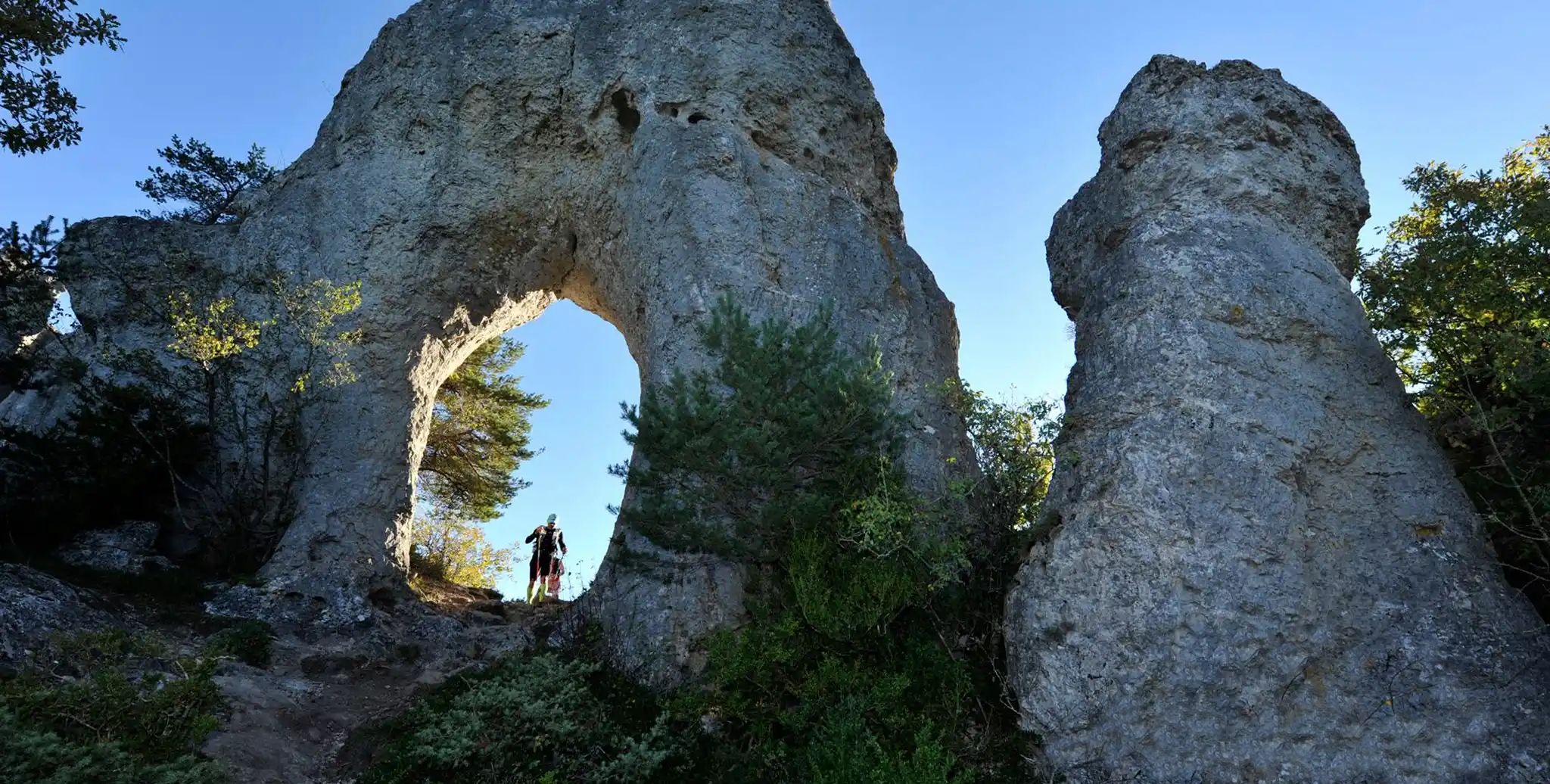
Meyrueis to La Roque-Sainte-Marguerite – GR 62A in France
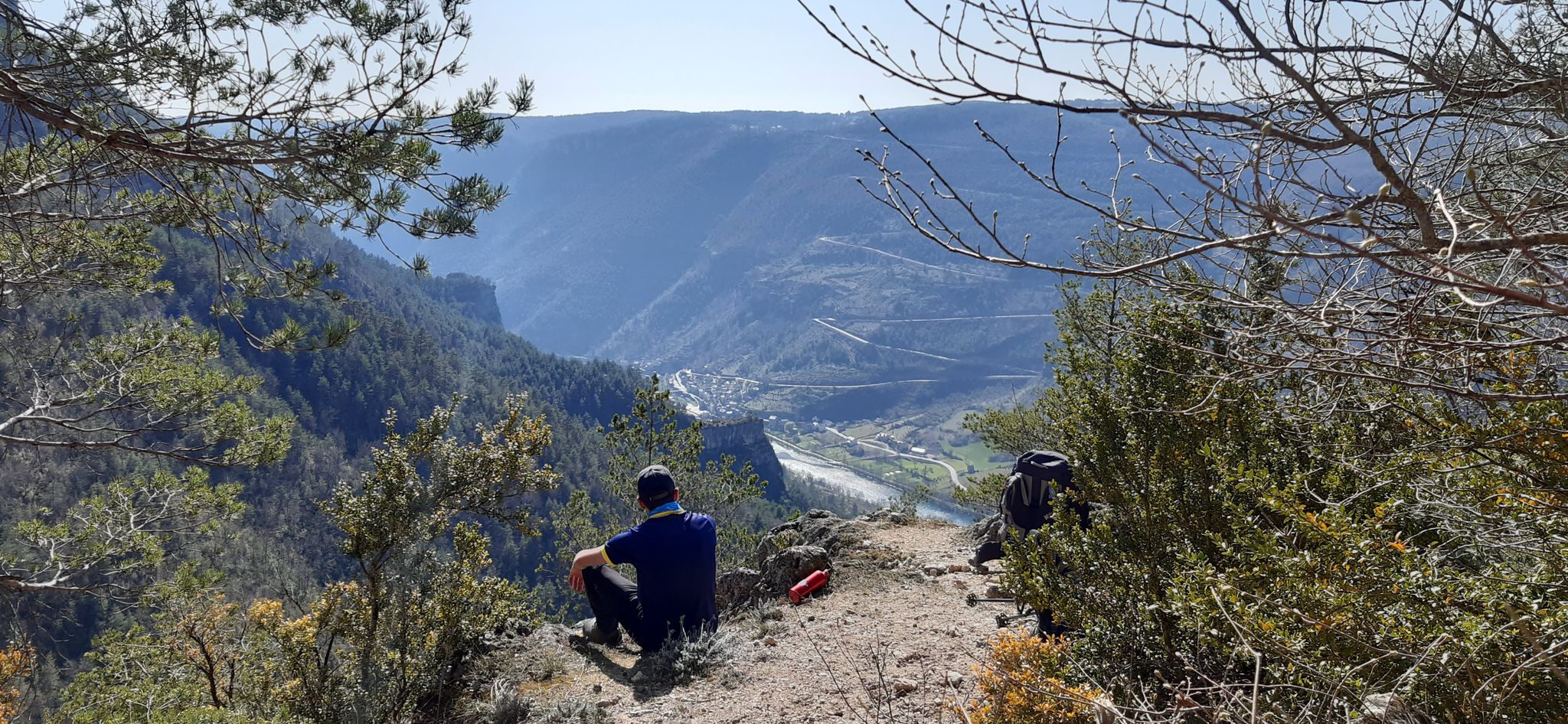
Walking to the rhythm of the Causses — The GRP Tour du Causse Méjean
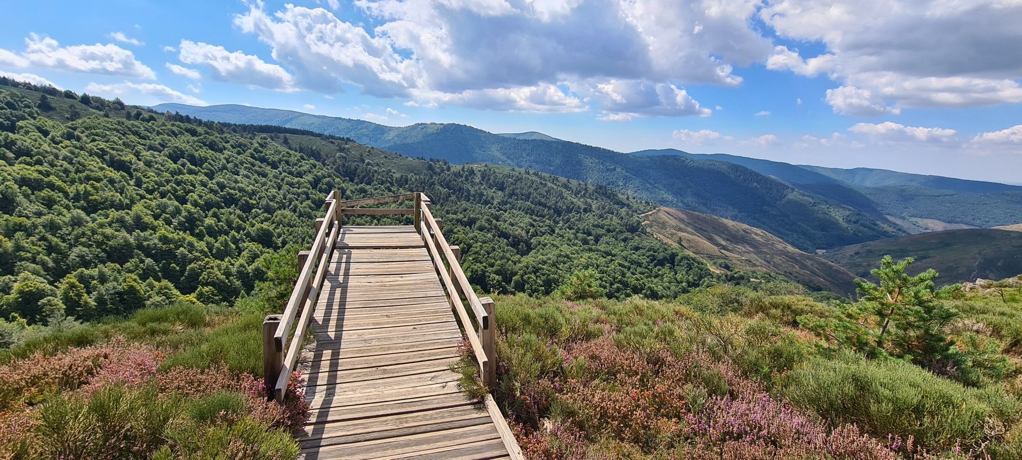
Hike and wild camp in the Cevennes — a Tour of Mount Aigoual (GR 66)
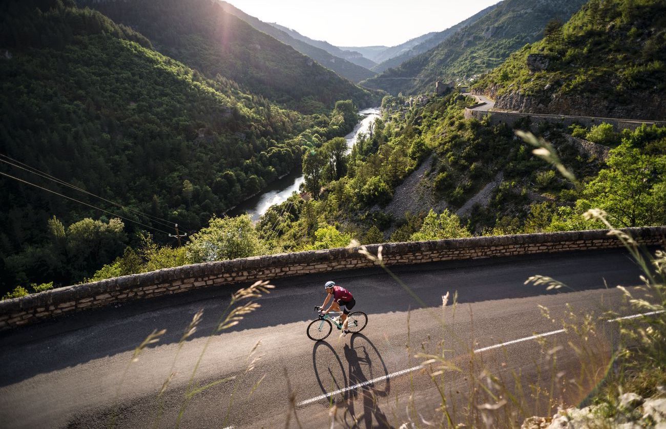
Lonely Cevennes: The beautiful south of France
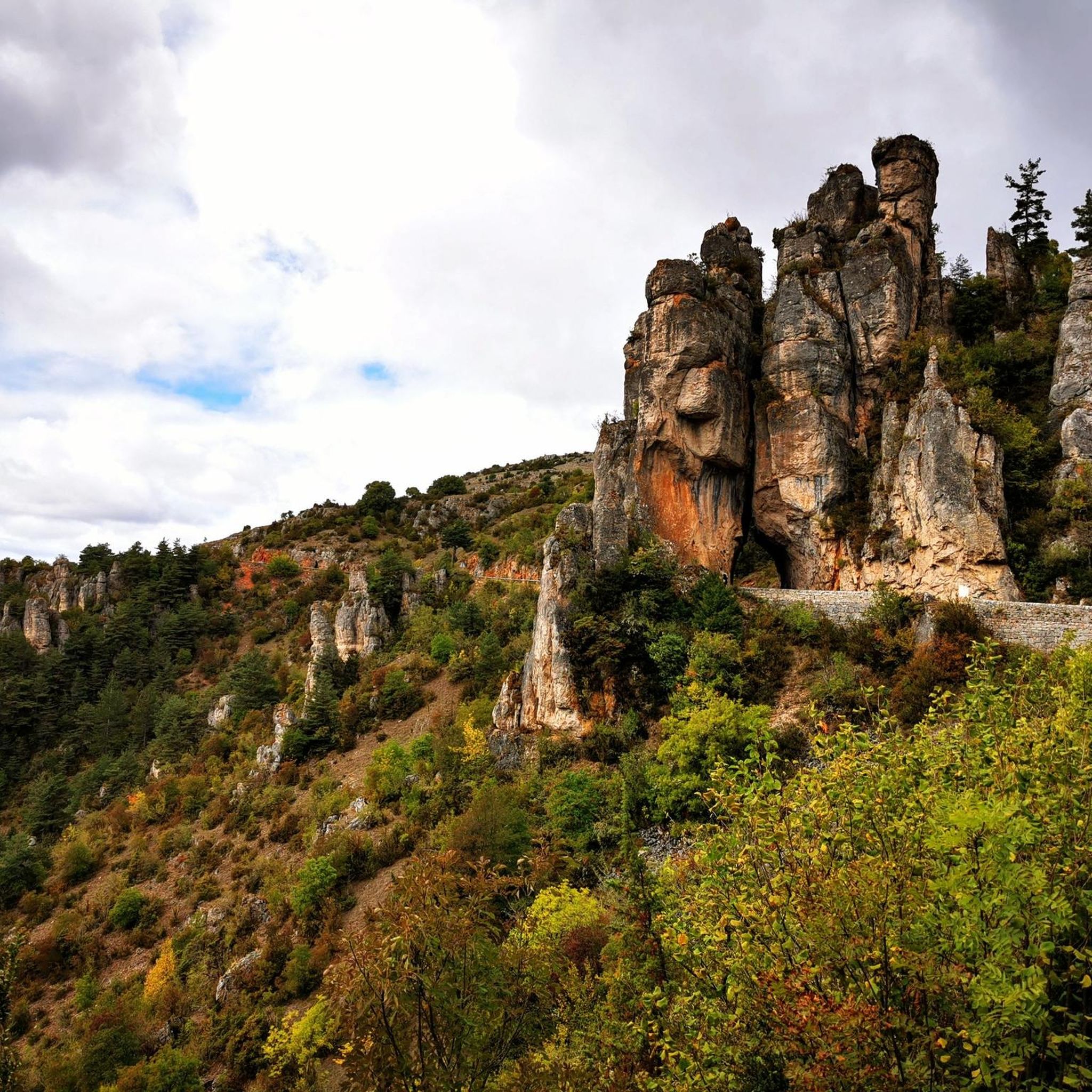
Road Cycling Routes around Meyrueis
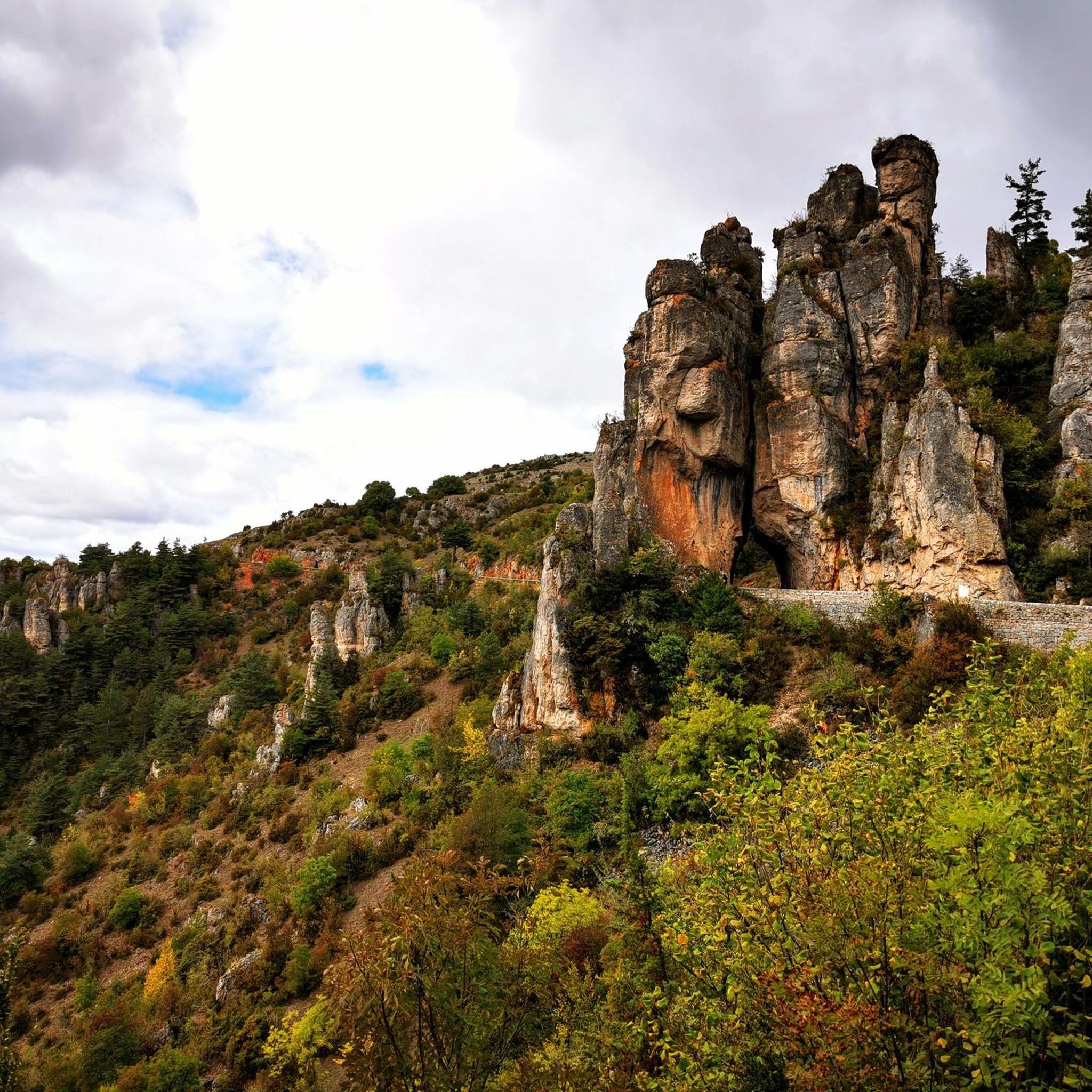
Cycling around Meyrueis
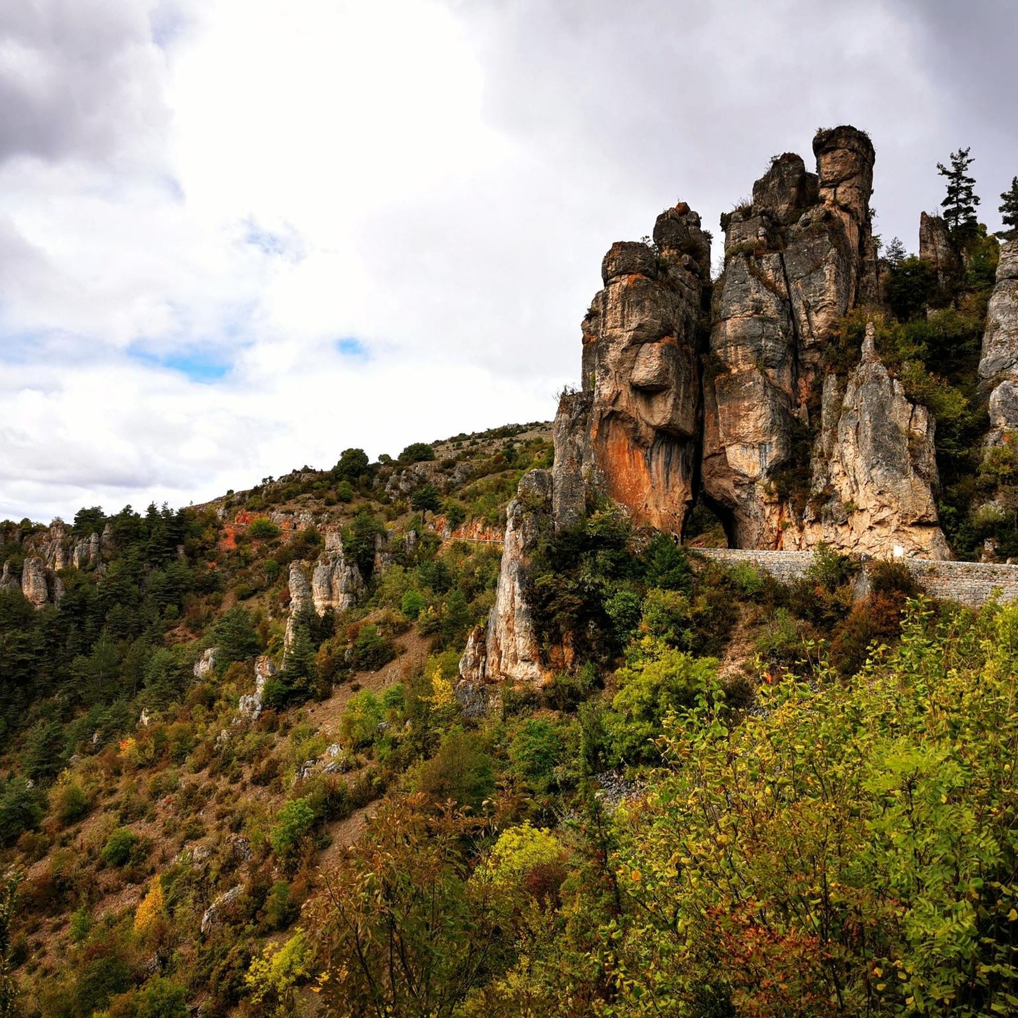
MTB Trails around Meyrueis
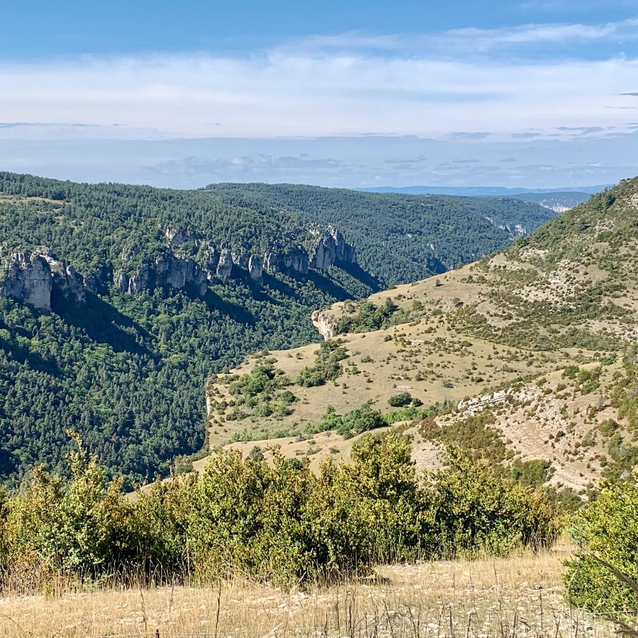
Running Trails around Meyrueis

Gravel biking around Meyrueis
Other adventures around Meyrueis


Tips from the Community

Sublime point, view of the Cévennes and the Mediterranean Sea in good weather
0
0

Under the title “France’s Wild South,” an episode of the British television series »National Parks – Protected Natural Wonders« on 3sat introduces the Cévennes. The accompanying text on the website states: “Lush green mountains, barren high plateaus, and deep gorges characterize this landscape, which, unlike France’s coasts, has not yet been discovered by mass tourism. Yet, it boasts what are probably the country’s most spectacular river landscapes.” The worthwhile film contribution in German can be accessed in the media library at the following link =>> https://www.3sat.de/dokumentation/nationalparks-geschuetzte-naturwunder/nationalparks-geschuetzte-naturwunder-cevennen-frankreichs-wilder-sueden-102.html
0
0


Lovely runnable climb, the start through the forest is nice for cycling. Afterwards the road surface becomes a bit worse. Nicely runnable climb.
0
0


This menhir attests to the presence of humans 5000 years ago.
1
1

A pretty village for a rest stop or simply to visit (by bike). There are many terraces where you can take a short break.
0
0
Frequently Asked Questions
Are there easy hiking trails suitable for beginners in Meyrueis?
Yes, Meyrueis offers a good selection of easy hikes. Out of the 57 available routes, 17 are classified as easy, making them perfect for beginners or those looking for a relaxed stroll. These trails often follow river paths or explore the gentler parts of the plateaus.
What kind of terrain can I expect when hiking around Meyrueis?
The terrain around Meyrueis is incredibly diverse, ranging from deep river gorges like the Jonte, Tarn, and Dourbie, to the arid limestone plateaus of the Causse Méjean and Causse Noir. You'll also find varied forests of beech, oak, fir, and spruce, especially around Mont Aigoual. This geological diversity means you can experience everything from riverside paths to rocky outcrops and open grasslands.
Are there any family-friendly hiking options in Meyrueis?
Yes, many of the easier routes are suitable for families. For instance, the region offers shorter trails like the 'Sentier des ruisseaux' (Creeks trail), which is 5.5 km long and follows streams, providing an engaging experience for children. Look for routes classified as 'easy' in the komoot guide for suitable options.
Can I bring my dog on the hiking trails in Meyrueis?
Meyrueis is located within the Cévennes National Park, which generally welcomes dogs on trails, especially if kept on a leash to protect wildlife and livestock. However, specific regulations can vary, so it's always best to check local signage or the park's official guidelines for the particular trail you plan to hike.
Are there circular hiking routes available around Meyrueis?
Yes, many of the hiking routes around Meyrueis are designed as loops, allowing you to start and end in the same location. Examples include the Pauparelle - loop starting from Meyrueils - Cévennes National Park, which explores the upper Jonte valley, and the Dargilan – loop on the Causse Noir from Sérigas – Parc national des Cévennes on the Causse Noir plateau.
What are some notable landmarks or natural features to see on hikes near Meyrueis?
The region is rich in natural wonders. You can explore the dramatic Gorges of the Jonte, Tarn, and Dourbie rivers, or the unique landscapes of the Causses plateaus. Highlights include the Arcs de Saint-Pierre, a natural monument, and the stunning Aven Armand cave, known for its giant stalagmites. The nearby Chaos de Montpellier-le-Vieux, Europe's largest rock labyrinth, also offers several marked hiking routes.
Where can I find panoramic viewpoints during my hikes in Meyrueis?
For breathtaking panoramic views, consider hikes that ascend to higher elevations. Mont Aigoual, the second-highest peak in the Cévennes, offers exceptional vistas across Lozère and beyond. The Vertigo Viewpoint is another excellent spot to take in the dramatic landscapes of the gorges and plateaus.
What is the best time of year to go hiking in Meyrueis?
The best time for hiking in Meyrueis is generally from spring to autumn (April to October). Spring brings blooming wildflowers and pleasant temperatures, while autumn offers vibrant foliage. Summer can be warm, especially in the gorges, but higher elevations like Mont Aigoual provide cooler conditions. Winter hiking is possible but requires appropriate gear due to potential snow and colder temperatures, particularly on the plateaus and mountains.
How long do hikes typically take around Meyrueis?
Hikes around Meyrueis vary greatly in duration. You can find shorter walks that take around 2-3 hours, such as the L'orée – The Trépaloup menhir loop from Réserve biologique dirigée de Hort de Dieu (approx. 2 hours 6 minutes). Longer, more challenging routes, like the Mont Aigoual – The 4000 Steps loop from Réserve biologique dirigée de Hort de Dieu, can take over 9 hours to complete.
Are there opportunities to see wildlife while hiking in the Meyrueis area?
Yes, as Meyrueis is located within the Cévennes National Park, there are excellent opportunities for wildlife spotting. The park is known for its rich biodiversity. Keep an eye out for various bird species, including vultures in the gorges, and other local fauna like deer, wild boar, and smaller mammals, especially during quieter times of day.
What do other hikers say about their experience in Meyrueis?
The hiking routes in Meyrueis are highly rated by the komoot community, with an average score of 4.5 stars from over 300 reviews. Hikers often praise the stunning and diverse landscapes, from the dramatic gorges to the expansive plateaus, and the well-marked trails that cater to all experience levels.
Is there parking available at the trailheads in Meyrueis?
Yes, many trailheads around Meyrueis, especially those starting from the village itself or other popular points, offer designated parking areas. For specific routes, it's advisable to check the route details on komoot, as parking information is often included in the tour descriptions or comments from other hikers.
Are there any caves or geological wonders to explore near Meyrueis?
Absolutely. The region is famous for its spectacular underground formations. The Aven Armand is classified among France's most beautiful caves, known for its giant stalagmites. Another impressive site is the Grotte de Dargilan, also known as 'The Pink Cave,' which captivates visitors with its colorful concretions and vast chambers. Some hikes, like the Dargilan – loop on the Causse Noir from Sérigas – Parc national des Cévennes, lead towards these natural wonders.
Most popular attractions around Meyrueis

Get inspired with the komoot mobile app


Explore more
Browse the best Hikes in other regions.
