The best running trails around Gatuzières
4.3
(15)
1,992
runners
59
runs
Jogging routes around Gatuzières offer diverse terrain within the Cévennes National Park, a region known for its well-preserved natural environment. The area features mountainous landscapes with altitudes ranging from 759m to 1562m, providing varied experiences from challenging climbs to more level paths across plateaus. Joggers can explore dramatic gorge landscapes carved by the Jonte River and encounter unique geological formations like the "Chaos Dolomitique de Nîmes-le-Vieux." This setting ensures a wide array of running opportunities amidst significant ecological interest.
Best…
Last updated: October 10, 2026
4.5
(2)
51
runners
11.1km
01:38
420m
420m
Hard run. Very good fitness required. Sure-footedness, sturdy shoes and alpine experience required.
4
runners
12.7km
01:46
430m
450m
Hard run. Very good fitness required. Mostly paved surfaces. Suitable for all skill levels.

336
runners
16.8km
03:19
1,150m
1,160m
Hard run. Very good fitness required. Sure-footedness, sturdy shoes and alpine experience required.
5.0
(1)
27
runners
13.8km
01:48
420m
420m
Hard run. Very good fitness required. Mostly accessible paths. Some sure footedness required.
5.0
(2)
21
runners
9.55km
01:08
180m
180m
Moderate run. Good fitness required. Mostly paved surfaces. Suitable for all skill levels.
Get access to more routes and recommendations from other explorers.
Already have an account?
Our route recommendations are based on thousands of hikes, rides, and runs completed by other people on komoot.
Start today with a free account
Your next adventure awaits.
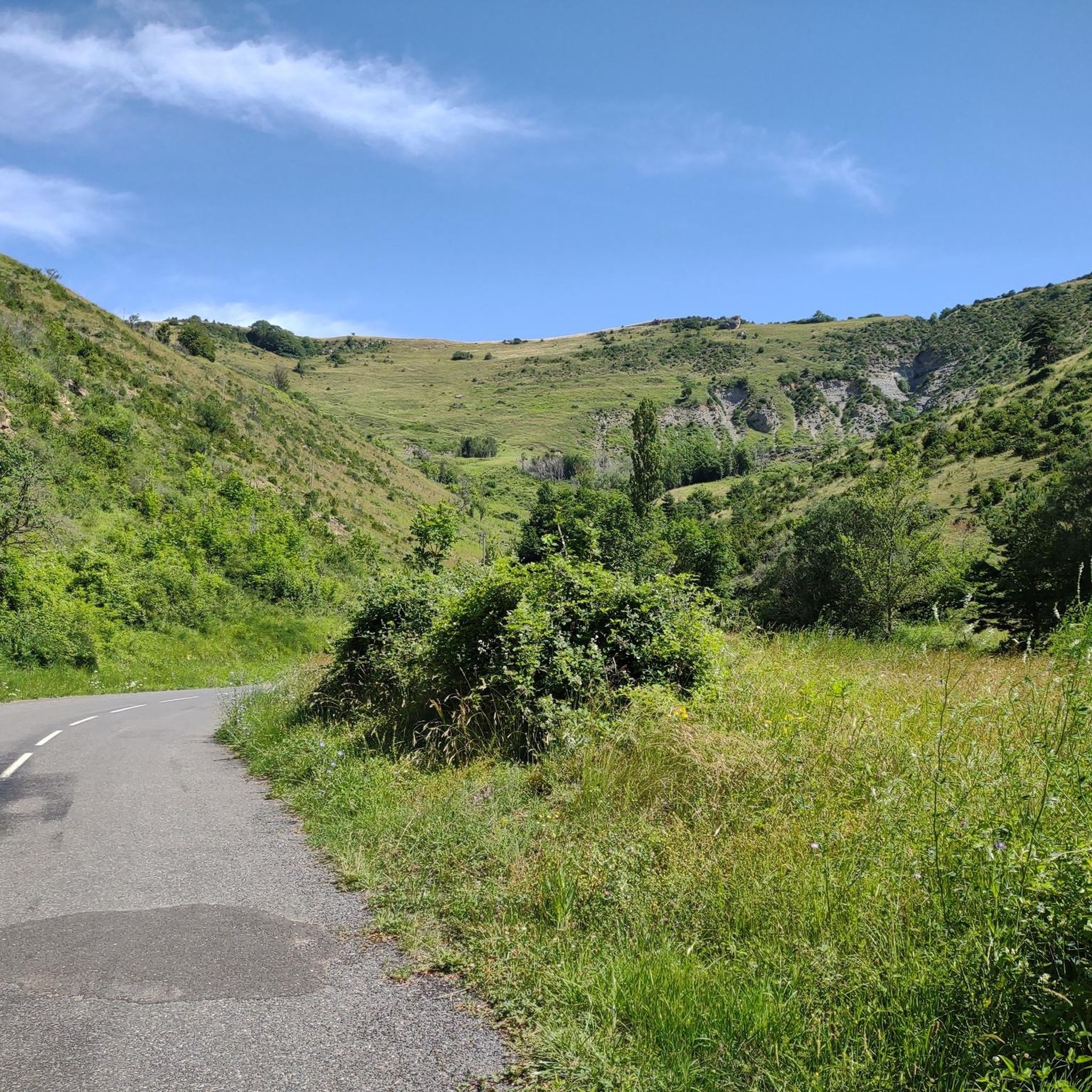
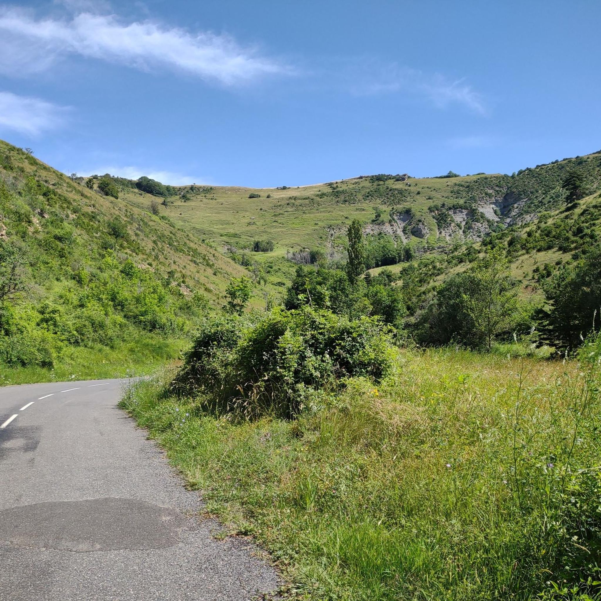
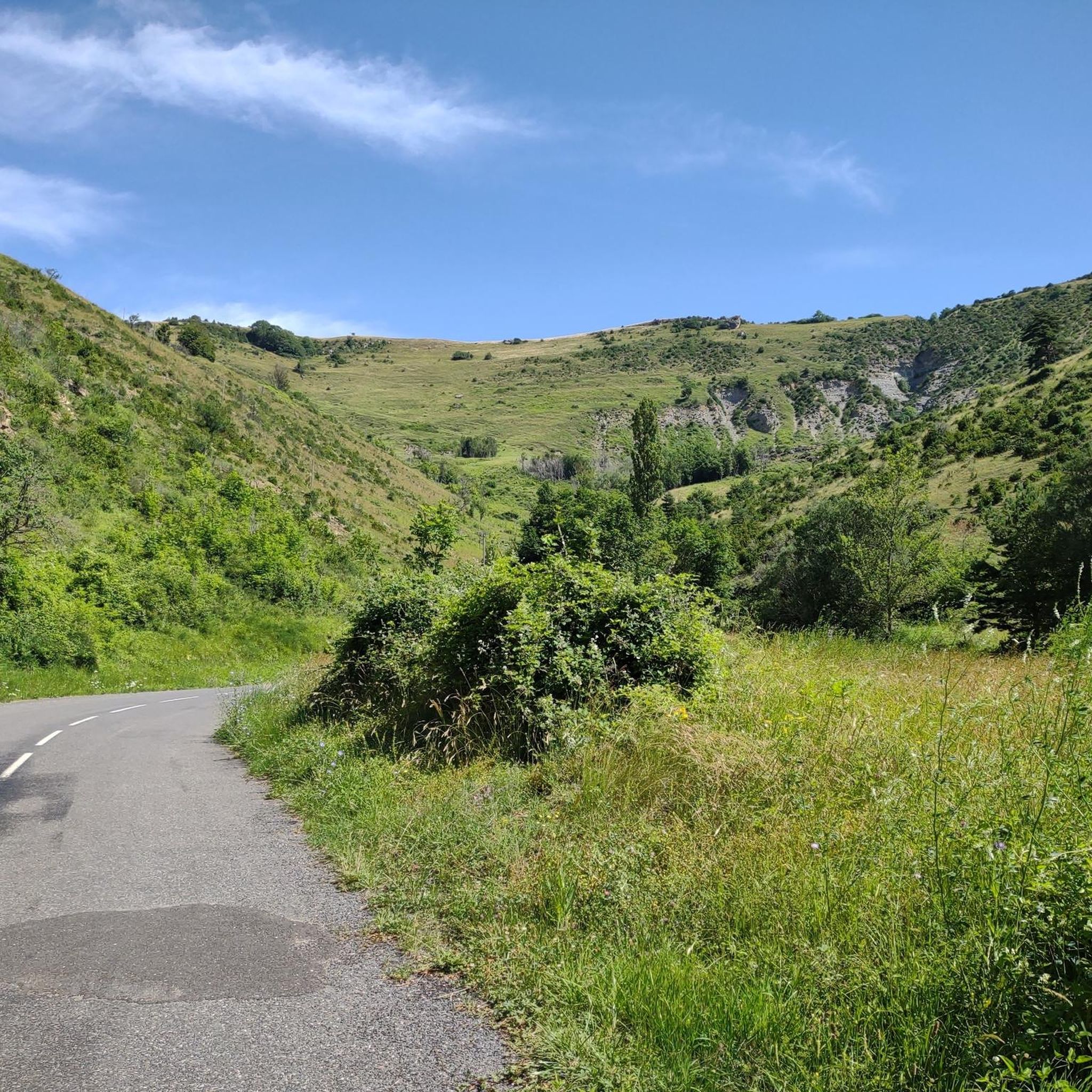
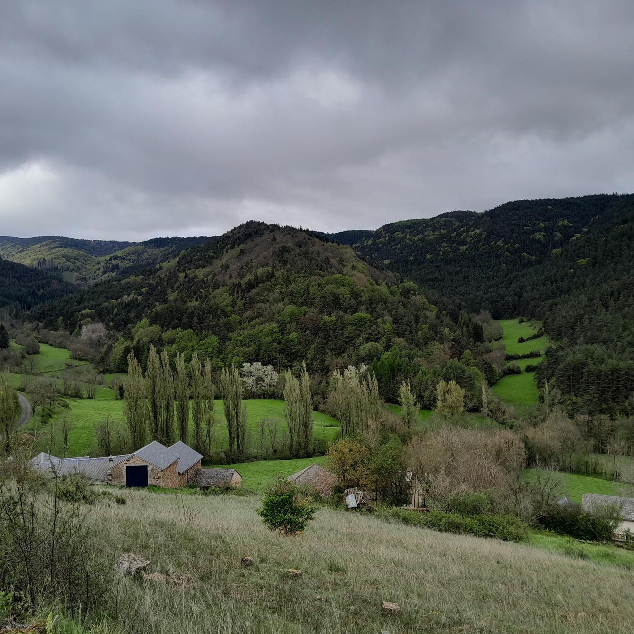

Tips from the Community


Wonderful mountain with a wonderful view. We stayed there on our long-distance hike from Tarifa (Spain) to Switzerland and can highly recommend the camp.
4
0

This menhir attests to the presence of humans 5000 years ago.
1
1

Very nice place to contemplate the surrounding landscapes in favorable weather conditions. Presence of a bar/restaurant and a panoramic table at height.
2
0

small village nestled at the entrance to the Jonte gorges, incredible possibilities for road, gravel and mountain bike circuits.
0
1

Mont Aigoual is the second highest peak in the Cévennes after Mont Lozère. Renowned for its meteorological observatory, it offers breathtaking panoramic views. It’s a popular place for mountain bikers!
2
0
Frequently Asked Questions
What kind of terrain can I expect on jogging routes around Gatuzières?
Jogging routes in Gatuzières traverse diverse terrain within the Cévennes National Park. You'll encounter mountainous landscapes with altitudes ranging from 759m to 1562m, offering varied experiences from challenging uphill climbs to more level paths across plateaus. The region also features dramatic gorge landscapes carved by the Jonte River and unique geological formations like the "Chaos Dolomitique de Nîmes-le-Vieux".
Are there running trails suitable for beginners in Gatuzières?
Yes, while many routes offer challenging climbs, there are options for beginners. Out of over 60 running routes, at least one is classified as easy, and 30 are moderate. For a moderate option, consider the Clock Tower – Meyrueis Stone Bridge loop from Meyrueis, which is 4.0 miles (6.5 km) long and typically takes about 47 minutes.
What are some notable landmarks or viewpoints I can see while running in the area?
The region is rich in natural landmarks and stunning viewpoints. You can experience panoramic views over the Gorges de la Jonte and Causse Méjean on routes like the Pauparelle Trail. The Mont Aigoual area, accessible via routes such as the Forest of l'Aigoual Trail, offers exceptional vistas extending from the Alps to the Pyrenees on clear days. Other points of interest include The 4000 Steps and the unique "Chaos Dolomitique de Nîmes-le-Vieux".
Are there any circular running routes available?
Yes, many of the running routes in Gatuzières are designed as loops, allowing you to start and finish at the same point. An example is the Clock Tower – Meyrueis Stone Bridge loop from Meyrueis. The extensive network of trails, including sections of long-distance paths like the "Tour du Causse Méjean," also offers opportunities to create your own circular routes.
What is the best time of year to go jogging in Gatuzières?
Gatuzières, with its mountainous climate, offers different experiences throughout the year. Spring and autumn generally provide pleasant temperatures for running, with vibrant foliage or blooming wildflowers. Summer can be warm, especially at lower altitudes, but higher elevation routes like those near Mont Aigoual can offer cooler conditions. Winters can bring snow to the higher peaks, offering a different kind of challenge for experienced trail runners.
Can I bring my dog on the running trails in Gatuzières?
The Cévennes National Park, where Gatuzières is located, generally welcomes dogs on trails, but it's crucial to keep them on a leash to protect wildlife and livestock. Always check specific trail regulations or local signage, especially in protected areas or during certain seasons, to ensure a pleasant and responsible experience for you and your dog.
Are there any family-friendly running options in the Gatuzières area?
While many routes are challenging, there are options suitable for families looking for a less strenuous run or walk. Look for routes classified as 'easy' or 'moderate' in difficulty. The region's diverse terrain means you can find flatter sections or shorter loops that are more manageable for younger runners or those pushing strollers suitable for off-road use.
What do other runners say about the jogging routes in Gatuzières?
The running routes in Gatuzières are highly rated by the komoot community, with an average score of 4.1 stars from over 8 reviews. More than 1800 runners have used komoot to explore the varied terrain, often praising the stunning natural beauty, the well-maintained trails within the Cévennes National Park, and the diverse challenges offered by the mountainous landscape.
Are there any long-distance running paths or multi-day running opportunities?
Yes, the region is home to sections of long-distance hiking routes, such as the GR 62A and the "Tour du Causse Méjean." These well-marked paths provide excellent opportunities for extended jogs or multi-day running adventures, allowing for immersion in diverse landscapes, including wooded and more open sections, and glimpses of historical markers like dolmens and menhirs.
What are the typical distances and elevation gains for running routes in Gatuzières?
The routes vary significantly in length and elevation. For example, the Pauparelle Trail is 6.9 miles (11.1 km) with an elevation gain of over 400 meters, while the The Trépaloup menhir – The 4000 Steps loop from Mont Aigoual is 16.7 km with over 1100 meters of elevation gain. You'll find everything from shorter, moderate loops to longer, more challenging runs with significant climbs.
Are there any facilities like cafes or accommodation near the running trails?
While Gatuzières itself is a rural commune, the broader region within and around the Cévennes National Park, including nearby towns like Meyrueis and Le Rozier, offers various facilities. You can find cafes, restaurants, and accommodation options in these towns, which often serve as starting points for many trails. It's advisable to plan your route and check for amenities in the closest villages.
Most popular routes around Gatuzières
Most popular attractions around Gatuzières

Get inspired with the komoot mobile app


Explore more
Browse the best Running Trails & Routes in other regions.
