The best walks and hikes around Peuplingues
4.5
(5120)
34,580
hikers
387
hikes
Hiking around Peuplingues offers access to diverse terrain, characterized by dramatic chalk cliffs, extensive coastlines, and grassy heathlands. The region is situated near the Grand Site of Les Deux-Caps, encompassing Cap Blanc-Nez and Cap Gris-Nez, providing varied landscapes for outdoor activities. Trails often feature panoramic views of the English Channel and the surrounding countryside. The area also includes natural valleys and pastures, supporting a rich biodiversity.
Best hiking trails around Peuplingues
- The most popular hiking route is View of Fond-Pignon…
Last updated: October 13, 2026
4.7
(15)
129
hikers
27.3km
07:11
230m
230m
Hard hike. Very good fitness required. Easily-accessible paths. Suitable for all skill levels.
4.8
(29)
196
hikers
5.65km
01:35
110m
110m
Easy hike. Great for any fitness level. Easily-accessible paths. Suitable for all skill levels.

4.2
(5)
48
hikers
3.05km
00:51
60m
60m
Easy hike. Great for any fitness level. Easily-accessible paths. Suitable for all skill levels.
5.0
(1)
27
hikers
2.46km
00:41
40m
40m
Easy hike. Great for any fitness level. Easily-accessible paths. Suitable for all skill levels.
4.0
(2)
8
hikers
12.7km
03:28
200m
200m
Moderate hike. Good fitness required. Easily-accessible paths. Suitable for all skill levels.
Get access to more routes and recommendations from other explorers.
Already have an account?
Our route recommendations are based on thousands of hikes, rides, and runs completed by other people on komoot.
Start today with a free account
Your next adventure awaits.

Tips from the Community

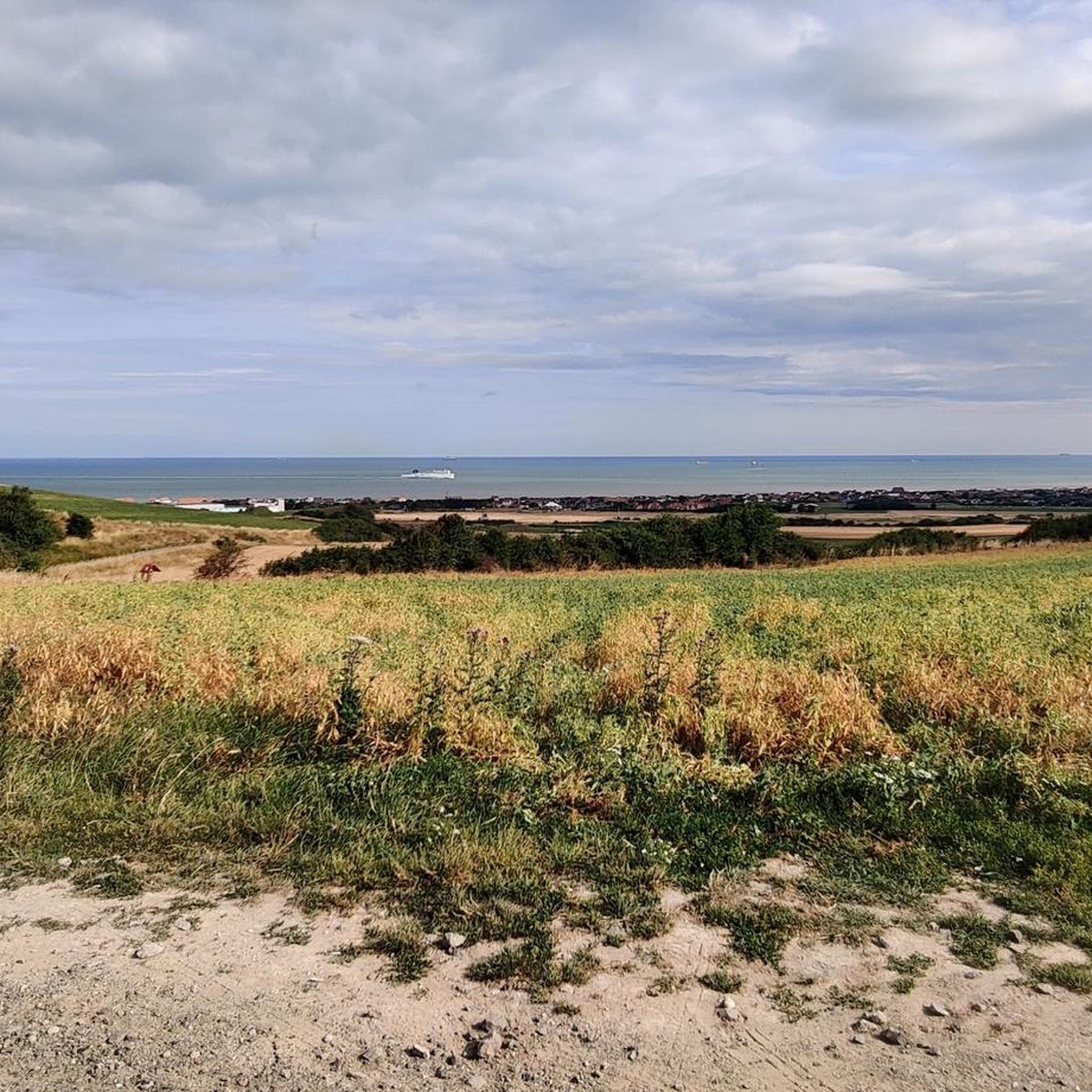
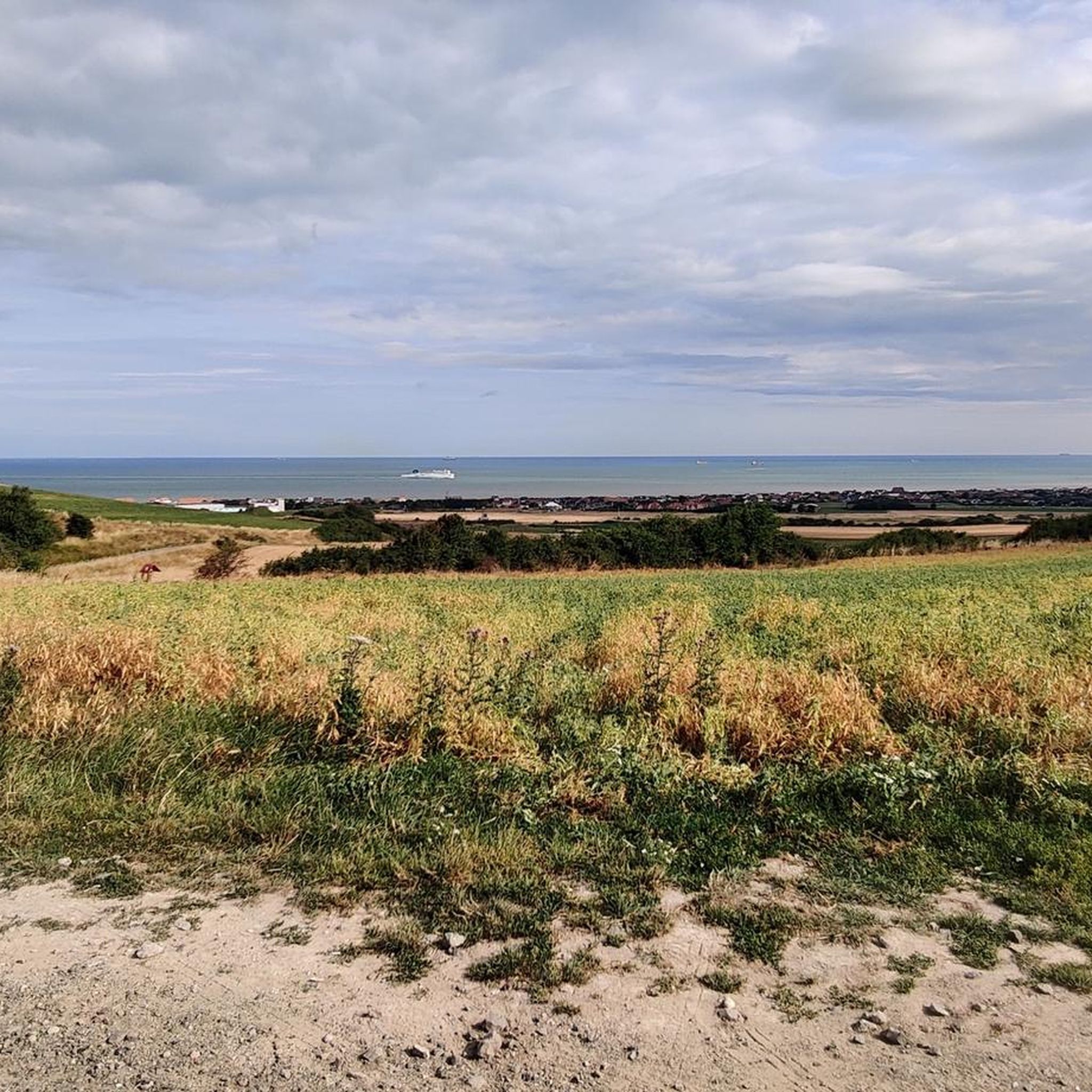
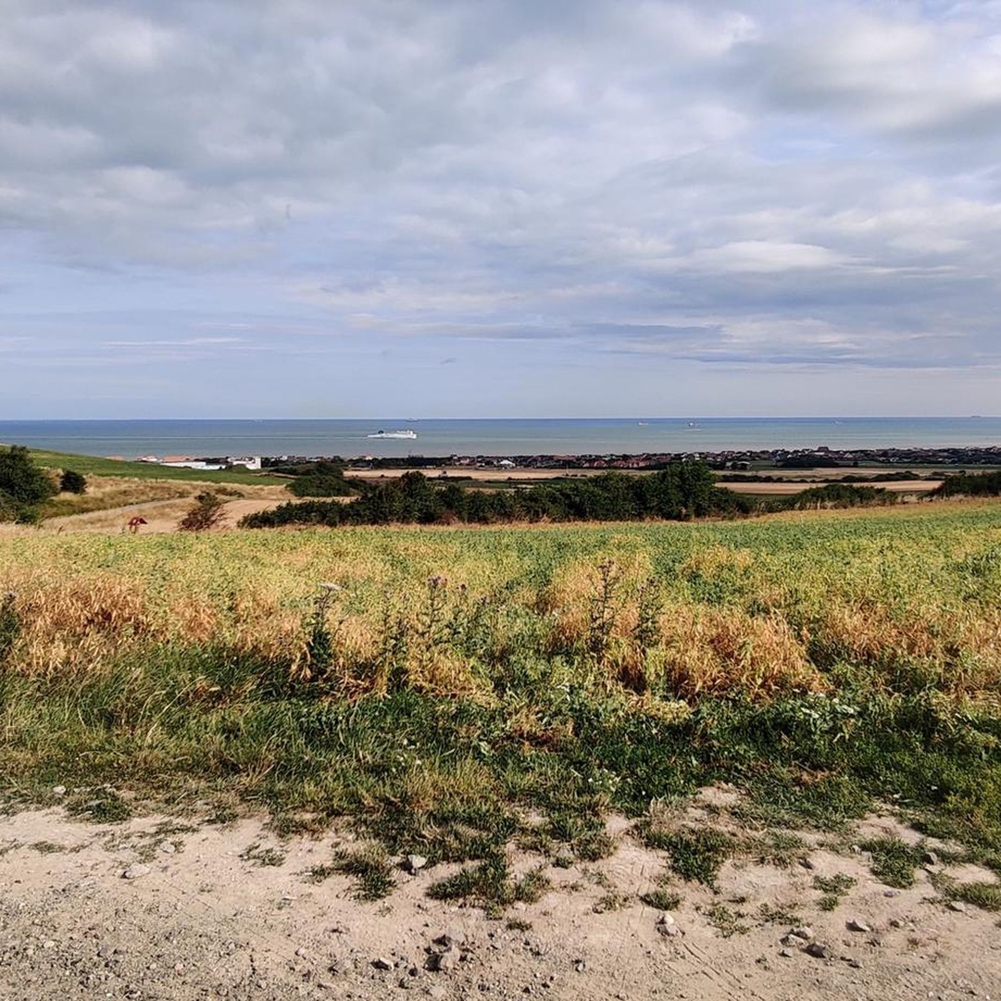
View of the coast and Cap Blanc Nez from Mont Fouret.
0
0

Very beautiful seawall
2
1

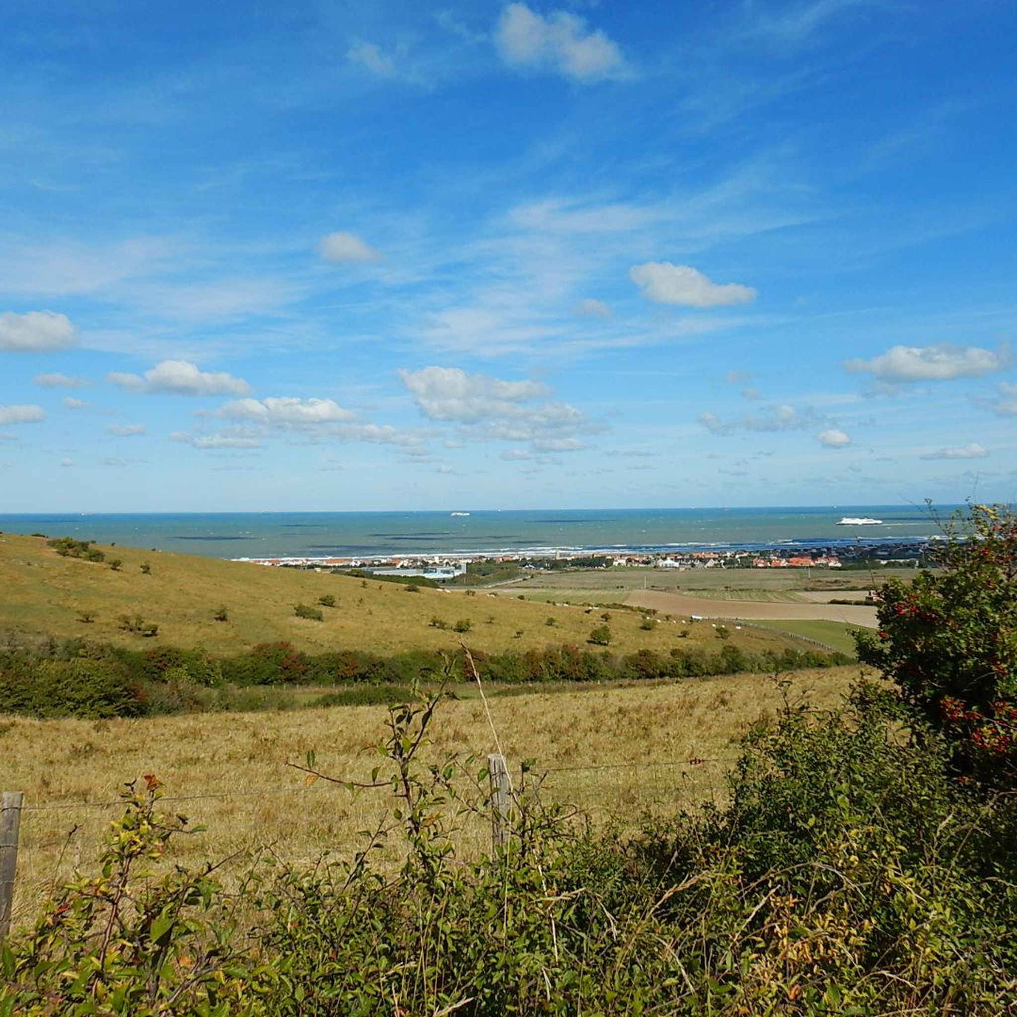
High vantage point on the Opal Coast near Calais
0
0

Beautiful and exciting in any season. The view of the English chalk cliffs is also fantastic, weather permitting.
4
0

The Boucle des Belvédères is perfect for a short, enjoyable walk—with impressive views, historic sites, and minimal effort. Those looking for a bit more exercise can easily extend the route, for example, to the village loop "La Boucle du Cap," which leads through Escalles and Sangatte (approx. 4.5 km, about 1 hour 15 minutes).
29
1

This vast beach stretches for nearly eight kilometers between Calais and Cape Blanc-Nez. It is also known for the first successful aerial crossing of the English Channel by Louis Blériot on July 25, 1909.
1
0
Arguably the two most famous capes of the Hauts-de-France and the Nord-Pas-de-Calais are Cap Gris-Nez and Cap Blanc-Nez. Although they are geographically close to each other, they differ in their appearance, among other things: Cap Blanc-Nez: The name "Blanc-Nez" (white nose) refers to the light chalk cliffs, similar to the famous white cliffs of Dover. The coastline is steeper and more striking, with a characteristically light, white color. Cap Gris-Nez: The name "Gris-Nez" (grey nose) derives from the grey coloring of the rocks. It is mainly made up of claystone and sandstone and has a darker and less steep coastline.
50
0
The rocks, with their cracks and small caves in the calcareous wall, provide an important nesting site for numerous bird species such as jackdaws, house martins, fulmars, kestrels, gulls, terns and herring gulls. As part of a renaturation project in 2006, a section of the asphalt road leading to the summit and the parking spaces there were completely removed. Instead, a parking lot about 300 meters inland was significantly expanded.
54
0
Frequently Asked Questions
How many hiking trails are available around Peuplingues?
There are over 370 hiking trails around Peuplingues, offering a wide range of options for different skill levels and interests. These routes explore the dramatic chalk cliffs, diverse coastlines, and grassy heathlands of the region.
What kind of terrain can I expect on hikes around Peuplingues, and what are the main viewpoints?
Hikes around Peuplingues feature diverse terrain, including dramatic chalk cliffs, wild beaches, and grassy heathlands. You'll find paths along the iconic Cap Blanc-Nez, offering breathtaking panoramic views of the English Channel and, on clear days, the white cliffs of Dover. Notable viewpoints include Cape Blanc-Nez itself and the View from Mont d'Hubert.
Are there family-friendly hiking trails near Peuplingues?
Yes, there are many family-friendly options. For an easy and scenic walk, consider the View from Mont d'Hubert – Cape Blanc-Nez loop from Escalles, which is only 1.5 miles (2.5 km) and takes about 40 minutes. The area's diverse coastline and beaches, like Cran d'Escalles, also offer pleasant, less strenuous walking opportunities suitable for families.
Can I bring my dog on the hiking trails around Peuplingues?
Many trails in the Peuplingues area, especially those along the coast and through the heathlands, are generally dog-friendly. It's always recommended to keep dogs on a leash, especially near cliff edges, livestock, or in areas with nesting birds, to protect both your pet and the local wildlife. Specific regulations may apply in certain protected areas within the Caps et Marais d'Opale Regional Nature Park.
Are there any circular hiking routes in the Peuplingues area?
Yes, the region offers several circular routes. An example is the Le jardin du Moulin loop from Peuplingues, a moderate 6.9-mile (11.1 km) hike. Many routes around Cap Blanc-Nez are also designed as loops, allowing you to explore the heights, pastures, and beaches without retracing your steps.
What are the difficulty levels of the hiking trails around Peuplingues?
The trails around Peuplingues cater to all fitness levels. You'll find a wide range of options, from easy strolls to challenging long-distance hikes. Approximately 200 routes are classified as easy, over 150 as moderate, and about 18 are considered difficult, such as the 18-mile (29 km) View of Calais – Cape Blanc-Nez loop from Peuplingues.
Are there any historical landmarks or points of interest along the trails?
Yes, the area around Cap Blanc-Nez holds significant historical remnants. You can find vestiges from the Second World War, including bomb craters and the Dover Patrol Monument at the summit of Cap Blanc-Nez, which commemorates those lost in the Dover Strait during WWI. These add a historical dimension to the natural exploration.
When is the best time of year to go hiking in Peuplingues?
The best time to hike in Peuplingues is generally during spring, summer, and early autumn. These seasons offer milder weather, longer daylight hours, and the opportunity to see the diverse flora and fauna. Spring brings wildflowers, while summer and autumn provide pleasant temperatures for coastal walks and clear views across the Channel. Be prepared for potentially strong winds along the exposed clifftops regardless of the season.
How accessible are the trailheads around Peuplingues by public transport?
While specific public transport links directly to every trailhead might be limited, the village of Peuplingues itself serves as a starting point for several trails, such as the View of Fond-Pignon – View from Mont d'Hubert loop from Peuplingues. Major towns nearby, like Calais, offer more extensive public transport options, from which you might connect to smaller local services or reach popular hiking hubs like Escalles, which is a common starting point for Cap Blanc-Nez routes.
Where can I find parking for hiking trails near Peuplingues?
Parking is typically available at popular starting points for trails, especially around key attractions like Cap Blanc-Nez and in villages such as Escalles. While specific parking details for every trailhead are not available, designated parking areas are usually signposted near major access points to the coastal paths and nature reserves. It's advisable to check local signage upon arrival.
What do other hikers enjoy the most about hiking in Peuplingues?
The area is highly rated by the komoot community, with an average score of 4.5 stars from over 3600 reviews. Hikers often praise the breathtaking panoramic views from the chalk cliffs, the diverse coastal scenery, and the opportunity to explore both natural beauty and historical sites. The variety of trails, from easy coastal strolls to challenging long-distance routes, is also frequently highlighted.
Are there any long-distance hiking options available?
Yes, for those seeking longer adventures, the famous GR120 Coastal Path, also known as the 'customs officers' path, runs along the Opal Coast and passes through the Cap Blanc-Nez area. This allows hikers to undertake multi-day journeys or longer day hikes between Cap Blanc-Nez and Cap Gris-Nez through wild and scenic landscapes.
Most popular routes around Peuplingues
Most popular attractions around Peuplingues

Get inspired with the komoot mobile app


Explore more
Browse the best Hikes in other regions.
