The best running trails around Bonningues-Lès-Ardres
4.4
(69)
3,167
runners
16
runs
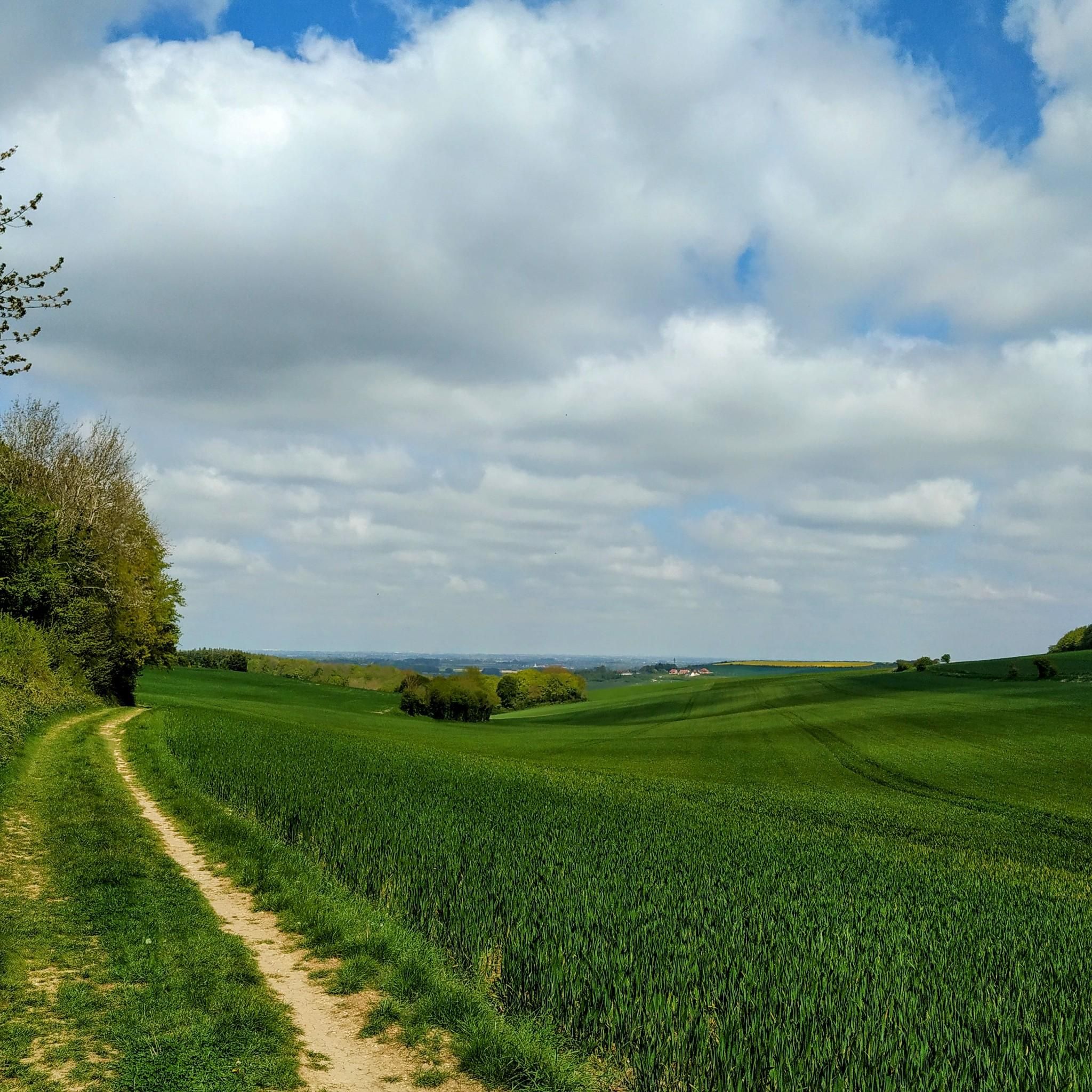
Jogging around Bonningues-Lès-Ardres offers diverse landscapes within the Caps et Marais d'Opale Regional Natural Park. The region features the Hem valley, agricultural fields, and sections of the Quercamps forest. Terrain varies from 34 to 184 meters in altitude, providing both gentle and more challenging running routes. Proximity to the Marais Audomarois and the Houlle river also provides scenic riverside paths.
Best jogging routes around Bonningues-Lès-Ardres
- The most popular jogging route is V1 Feuerstellung loop from Bonningues-lès-Ardres, a 20.8 miles…
Last updated: July 10, 2026
73
runners
33.4km
03:54
500m
500m
Hard run. Very good fitness required. Mostly accessible paths. Some sure footedness required.
24
runners
29.0km
03:25
320m
320m
Hard run. Very good fitness required. Mostly paved surfaces. Suitable for all skill levels.

Sign up for free
25
runners
16.1km
01:55
180m
180m
Hard run. Very good fitness required. Mostly paved surfaces. Suitable for all skill levels.
12
runners
6.32km
00:39
30m
30m
Moderate run. Good fitness required. Mostly paved surfaces. Suitable for all skill levels.
10
runners
Moderate run. Good fitness required. Mostly paved surfaces. Suitable for all skill levels.
Get access to more routes and recommendations from other explorers.
Sign up for free
Already have an account?
Our route recommendations are based on thousands of hikes, rides, and runs completed by other people on komoot.
Start today with a free account
Your next adventure awaits.
Login or Signup


Tips from the Community

A magnificent little village whose town was laid out parallel to the Hem river. Its old center forms a medieval castle town. Once fortified, it was organized around a square and a castle known since the 13th century. In the 15th century, Tournehem Castle became the residence of the Dukes of Burgundy.
1
0

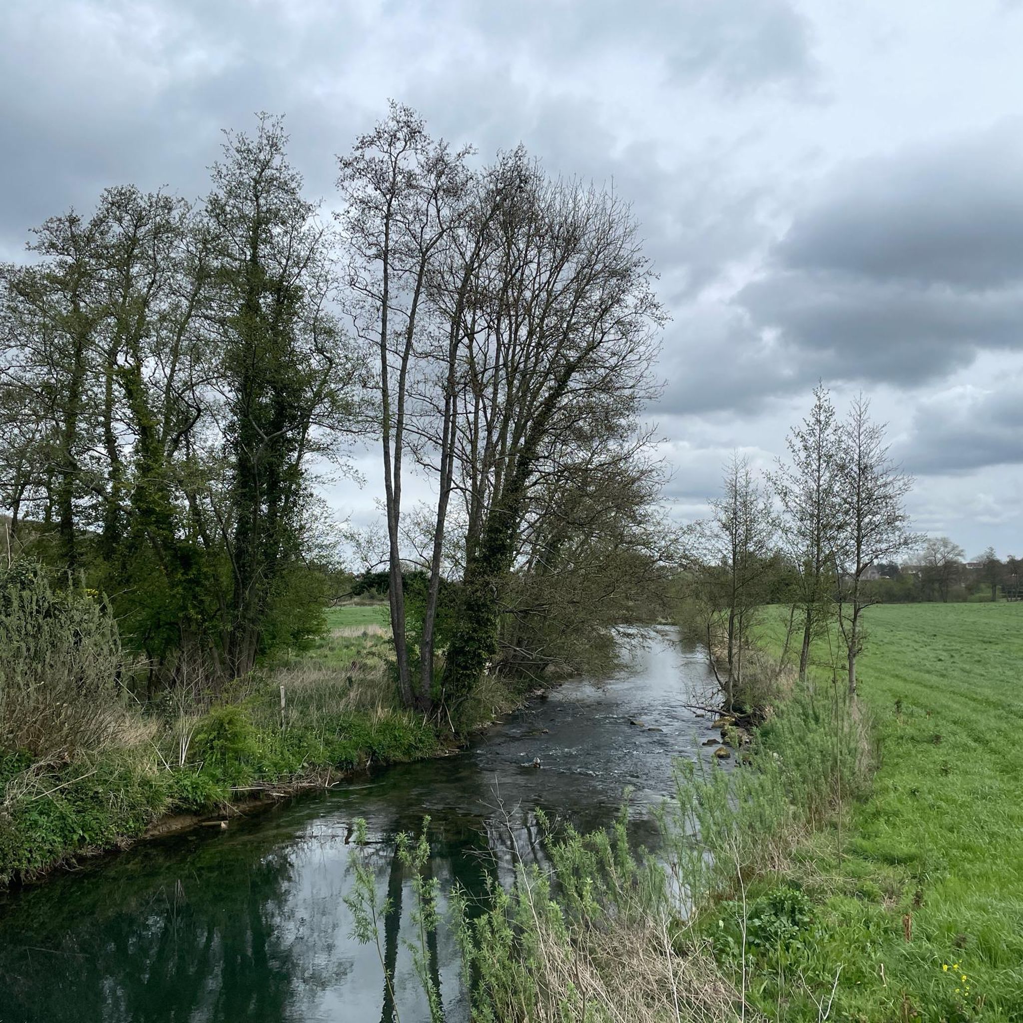
The Hem is a small river in Northern France. It rises in Surques, flows through Licques, Tournehem-sur-la-Hem, and flows into the Aa at Hennuin. The most important tributaries are the ruisseau de Loquin, the ruisseau de Sanghem, the ruisseau de Licques and the ruisseau de Bainghen.
0
0
Tournehem-sur-la-Hem (Dutch: Doornem) is a commune in the Pas-de-Calais department in the Hauts-de-France region in northwestern France. The commune is part of the arrondissement of Saint-Omer.
0
0

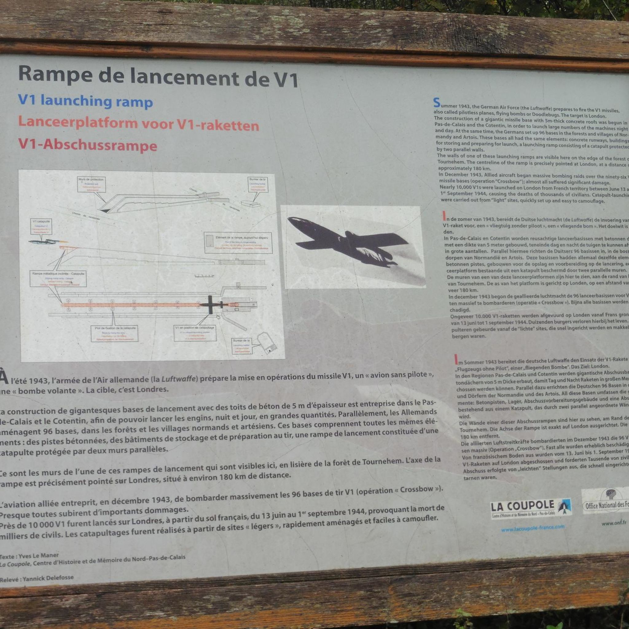
Remains of a V1 missile launch pad during the Second World War
1
0
Frequently Asked Questions
How many running routes are available around Bonningues-lès-Ardres?
There are 14 dedicated running routes around Bonningues-lès-Ardres, offering a variety of experiences for joggers. These routes are highly rated by the komoot community, with an average score of 4.4 stars.
What kind of terrain can I expect on the jogging trails in this region?
The terrain around Bonningues-lès-Ardres is quite varied, ranging from 34 to 184 meters in altitude. You'll find paths through the Hem valley, agricultural fields, and sections of the Quercamps forest. Some routes are described as 'well-hilled' offering superb views, while others follow scenic riverside paths, particularly near the Marais Audomarois.
Are there any easy or beginner-friendly running routes in Bonningues-lès-Ardres?
While many routes offer varied terrain and some challenging climbs, there are 7 moderate routes available. For a relatively flat and accessible option, consider routes that follow riverside paths, such as those near the Houlle river and the Marais Audomarois, which are generally more gentle.
Can I find circular running routes in the area?
Yes, many of the running routes around Bonningues-lès-Ardres are designed as loops. For example, the Mont de Bonningues loop from Bonningues-lès-Ardres is a 10-mile trail that offers varied terrain with hills, perfect for a circular run.
Are the running trails around Bonningues-lès-Ardres suitable for families?
The region offers diverse trails, and while specific 'family-friendly' designations aren't always explicit, routes through woodlands and bocages, or along flatter riverside paths, could be suitable for families depending on their fitness levels. Look for moderate routes with less elevation gain for a more relaxed family outing.
Are dogs allowed on the running routes?
Generally, dogs are welcome on many outdoor trails in France, especially in natural park areas like the Caps et Marais d'Opale Regional Natural Park. However, it's always advisable to keep dogs on a leash, especially when passing through agricultural fields or areas with livestock, and to check local signage for any specific restrictions.
What natural features or landmarks can I see while running?
The region is rich in natural beauty. You can run along the picturesque Houlle River, explore parts of the Quercamps forest, or enjoy views over the heights of Artois and the Bléquin valley. A marked trail also leads to the charming Chapelle Saint-Louis of Guémy through woods and bocages, offering a scenic destination for your run.
Is there parking available near the running trailheads?
While specific parking details for every trailhead are not always listed, the communal paths connecting villages like Bainghen, Herbinghen, Hocquinghen, and Nabringhen often have accessible starting points. In Bonningues-lès-Ardres itself, you can typically find parking in or near the village center, which serves as a common starting point for many routes.
What do other runners enjoy most about jogging in Bonningues-lès-Ardres?
The komoot community highly rates the running experience here, with an average of 4.4 stars from over 60 reviews. Runners frequently praise the varied terrain, which includes the Hem valley, Quercamps forest, and the scenic Marais Audomarois, offering diverse landscapes and challenges. The extensive network of paths also provides options for different ability levels.
Are there any long-distance running options available?
Yes, for those seeking longer runs, the area offers several challenging routes. The V1 Feuerstellung loop from Bonningues-lès-Ardres is a difficult 20.8-mile (33.4 km) trail with significant elevation changes, while the Tournehem Forest – orée de la forêt loop covers 18.0 miles (28.9 km) through woodlands and countryside.
What is the best time of year for running in Bonningues-lès-Ardres?
The region's diverse landscapes, including forests and riverside paths, make it enjoyable for running across multiple seasons. Spring and autumn offer pleasant temperatures and beautiful scenery, while summer can be great for early morning or late evening runs. Even winter can be suitable, with the right gear, to experience the tranquil beauty of the Caps et Marais d'Opale Regional Natural Park.
Can I combine my run with a visit to a local cafe or restaurant?
While specific cafes directly on the trails are uncommon, Bonningues-lès-Ardres and nearby Ardres offer local amenities. You can plan your run to start or end in the village to enjoy a post-run refreshment or meal at a local establishment, experiencing the regional charm.
Most popular routes around Bonningues-Lès-Ardres
Most popular attractions around Bonningues-Lès-Ardres

Get inspired with the komoot mobile app


Explore more
Browse the best Running Trails & Routes in other regions.
