The best walks and hikes around Chariez
4.5
(326)
2,028
hikers
148
hikes
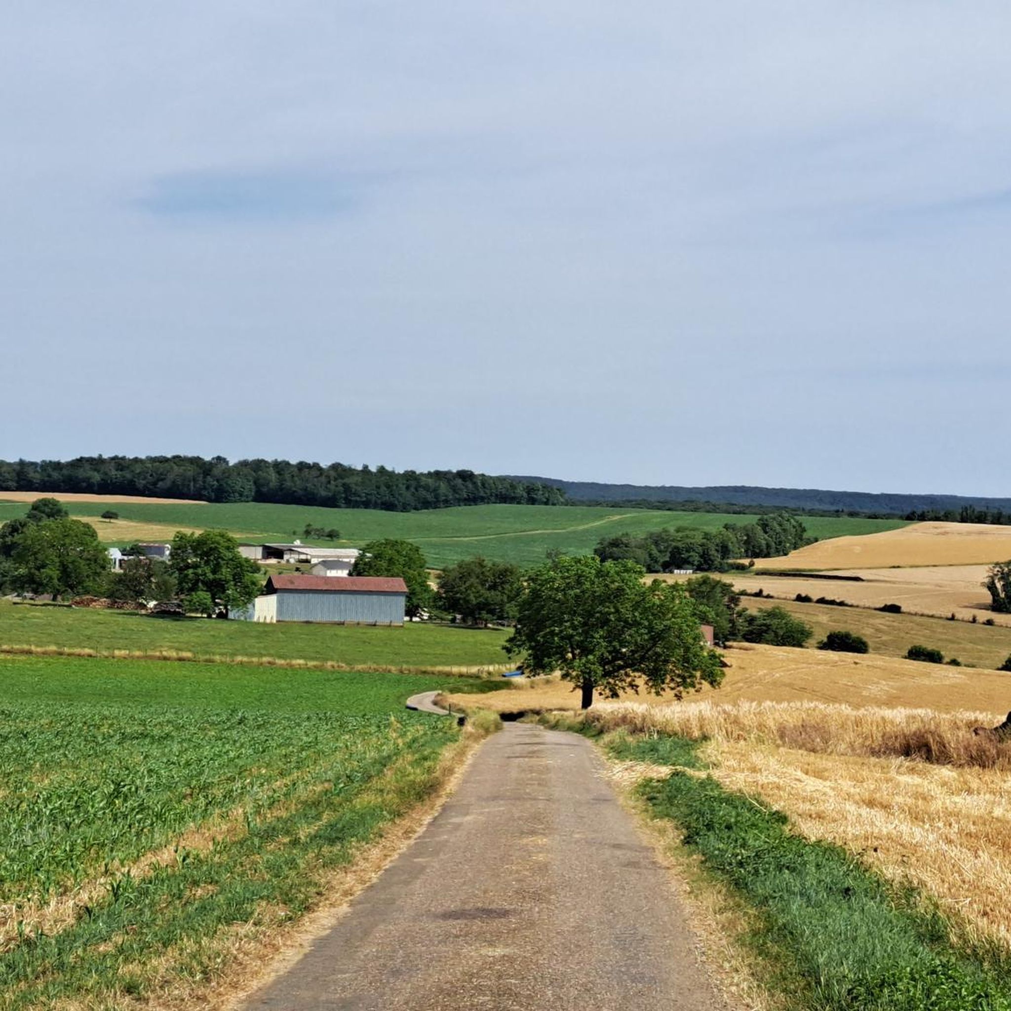
Hiking around Chariez offers a variety of routes through the French countryside. The region is characterized by gentle hills, agricultural lands, and significant wooded areas. Several trails feature picturesque lakeside paths, particularly around Lac de Vesoul-Vaivre. The landscape provides accessible outdoor experiences for various activity levels.
Best hiking trails around Chariez
- The most popular hiking route is Camp Cesar loop from Haute-Saône, a 6.3 miles (10.2 km) trail that takes 2 hours 54 minutes to complete. This moderate route…
Last updated: October 8, 2026
4.3
(6)
87
hikers
7.43km
01:53
20m
20m
Easy hike. Great for any fitness level. Easily-accessible paths. Suitable for all skill levels.
4.6
(12)
57
hikers
11.2km
03:12
260m
260m
Moderate hike. Good fitness required. Easily-accessible paths. Suitable for all skill levels.

4.6
(5)
27
hikers
11.8km
03:18
230m
230m
Moderate hike. Good fitness required. Easily-accessible paths. Suitable for all skill levels.
4.6
(12)
29
hikers
5.22km
01:30
120m
120m
Easy hike. Great for any fitness level. Easily-accessible paths. Suitable for all skill levels.
4.8
(6)
14
hikers
11.3km
03:03
140m
140m
Moderate hike. Good fitness required. Easily-accessible paths. Suitable for all skill levels.
Get access to more routes and recommendations from other explorers.
Already have an account?
Our route recommendations are based on thousands of hikes, rides, and runs completed by other people on komoot.
Start today with a free account
Your next adventure awaits.


Tips from the Community


The campsite is ideal for an overnight stay
3
0

Great rock formations, an amazing view of Charrier and a wonderful nature reserve at the back
4
0

Vesoul is of course the song of Jacques Brel, but not only. This wry ballad in the form of revolt and filled with energy immediately makes you hum the lyrics. It is quickly forgotten that its old center and its quays of the Saône really deserve attention.
3
0
Frequently Asked Questions
How many hiking trails are available around Chariez?
There are over 120 hiking trails around Chariez recorded on komoot, offering a wide range of options for all skill levels. You'll find approximately 65 easy routes, 56 moderate routes, and a few more challenging options.
Are there any easy hikes suitable for beginners or families in Chariez?
Yes, Chariez offers numerous easy hikes perfect for beginners or families. A great option is the Camp Cesar loop from Chariez, which is 5.2 km long and takes about 1 hour 30 minutes to complete. Many trails around Lac de Vesoul-Vaivre also provide flat, scenic walking.
What are some longer hiking trails in the Chariez area?
For those seeking longer routes, the La Motte – Lac de Vesoul-Vaivre Beach loop from Vaivre-et-Montoille is a moderate 11.4 km trail that can be completed in just over 3 hours. This route offers varied scenery including lakeside paths.
Are there any circular hiking routes around Chariez?
Many of the trails in Chariez are designed as circular routes, allowing you to start and end at the same point. For example, the Camp Cesar loop from Chariez is a popular circular option that explores local historical sites and woodlands.
What kind of natural landscapes can I expect to see while hiking in Chariez?
Hiking in Chariez will take you through diverse French countryside, characterized by gentle hills, expansive agricultural lands, and significant wooded areas. Many trails also feature picturesque lakeside paths, particularly around Lac de Vesoul-Vaivre, offering serene water views.
What do other hikers enjoy most about the trails in Chariez?
The hiking trails around Chariez are highly rated by the komoot community, with an average score of 4.6 stars from over 240 reviews. Hikers frequently praise the region's varied terrain, the peaceful lakeside paths, and the well-maintained routes that cater to different ability levels.
Are there any interesting landmarks or attractions to see along the hiking trails?
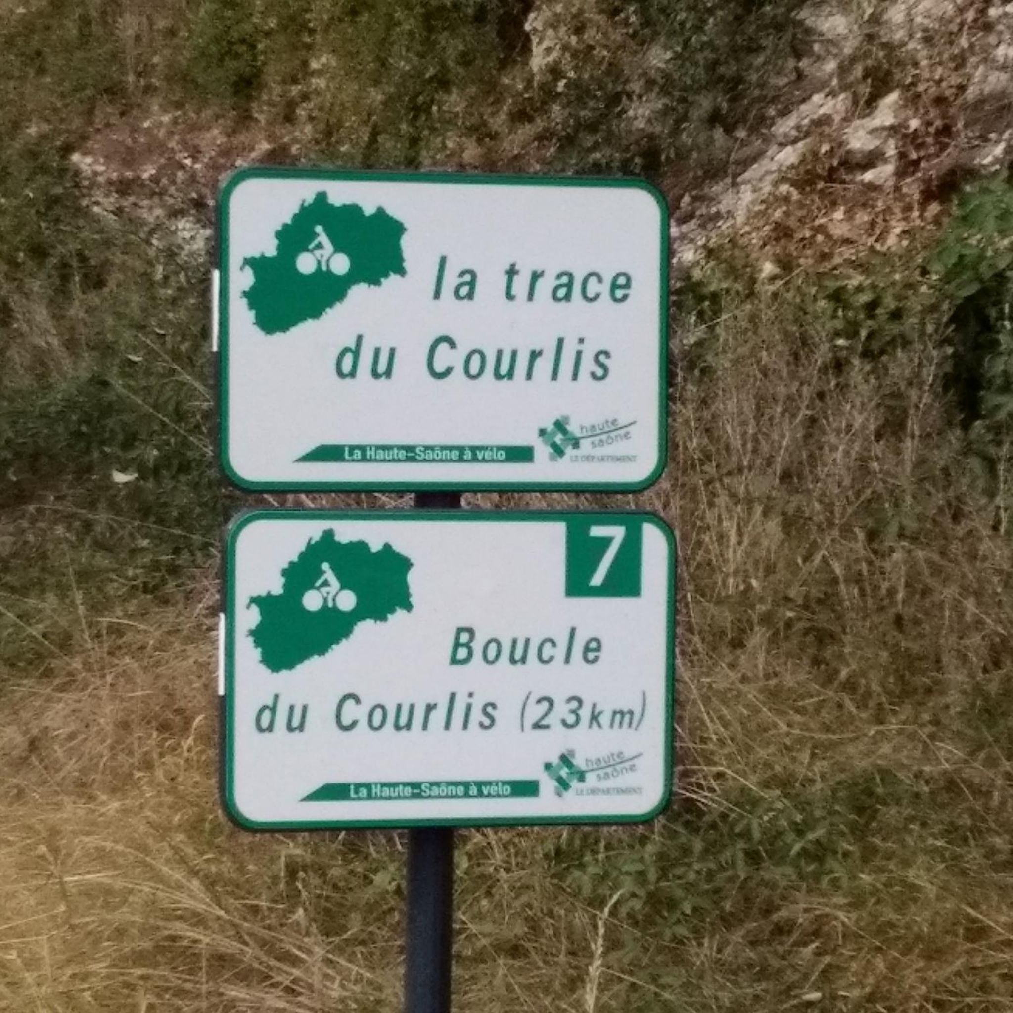
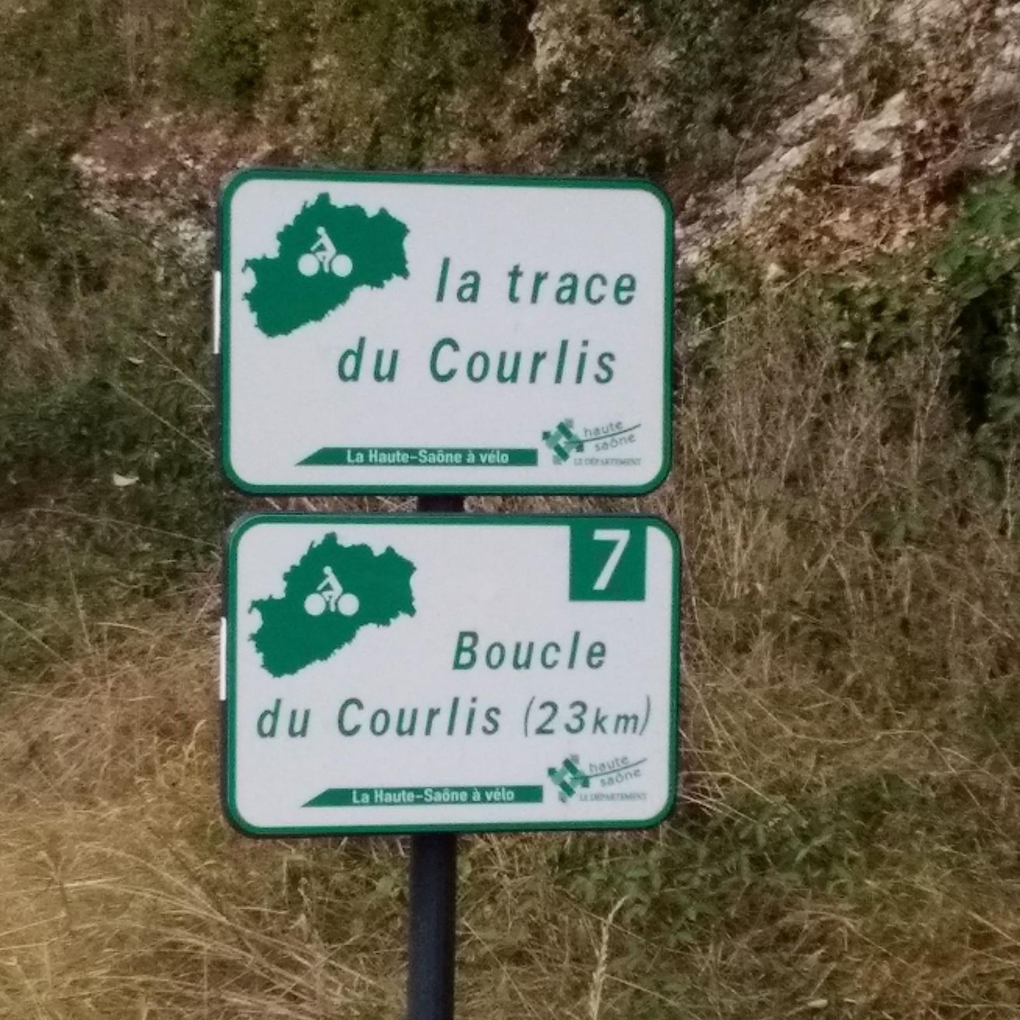
Yes, the Chariez area has several points of interest. You might encounter the historic Saint-Albin Canal Tunnel or the La Trace du Courlis Greenway. The nearby town of Vesoul also offers cultural sights.
Is Chariez a good destination for dog-friendly walks?
The natural landscape of Chariez, with its woodlands and open paths, generally provides a welcoming environment for dog walks. However, it's always recommended to check specific trail regulations and keep dogs on a leash, especially near agricultural areas or wildlife.
Are there any challenging hikes for experienced hikers near Chariez?
While the majority of routes are easy to moderate, Chariez does offer a few more challenging options. The region's varied terrain, including some steeper ascents in wooded areas, can provide a good workout for experienced hikers looking for a more strenuous experience.
What is the best time of year to go hiking in Chariez?
The best time to go hiking in Chariez is typically during the spring and autumn months when the weather is mild and the natural scenery is at its most vibrant. Summer also offers pleasant conditions, especially for lakeside walks, though it can be warmer. Winter hikes are possible, but some paths might be muddy or icy.
Are there hiking routes around Chariez that take approximately 3 hours to complete?
Yes, there are several moderate hiking routes around Chariez that fit a 3-hour timeframe. The La Motte – Lac de Vesoul-Vaivre Beach loop from Vaivre-et-Montoille, at 11.4 km, takes just over 3 hours and offers a rewarding experience through diverse landscapes.
Most popular attractions around Chariez

Get inspired with the komoot mobile app


Explore more
Browse the best Hikes in other regions.
