The best walks and hikes around Frahier-Et-Chatebier
4.4
(927)
6,174
hikers
367
hikes
Hiking around Frahier-Et-Chatebier offers diverse landscapes, characterized by extensive forest areas, picturesque ponds, and the presence of canals like the Canal de la Haute-Saône. The terrain provides views of the Vosges Saônoises mountains, contributing to a varied natural environment. This region, situated near the Parc naturel régional des Ballons des Vosges, features well-maintained trails suitable for exploring its natural beauty.
Best hiking trails around Frahier-Et-Chatebier
- The most popular hiking route is Bassin de Champagney — loop in the Parc Naturel…
Last updated: October 8, 2026
4.1
(12)
71
hikers
Easy hike. Great for any fitness level. Easily-accessible paths. Suitable for all skill levels.
4.4
(14)
80
hikers
Easy hike. Great for any fitness level. Easily-accessible paths. Suitable for all skill levels.

3.7
(3)
14
hikers
16.3km
04:28
270m
270m
Moderate hike. Good fitness required. Easily-accessible paths. Suitable for all skill levels.
11
hikers
6.90km
01:51
80m
80m
Easy hike. Great for any fitness level. Easily-accessible paths. Suitable for all skill levels.
4.0
(2)
9
hikers
Moderate hike. Good fitness required. Easily-accessible paths. Suitable for all skill levels.
Get access to more routes and recommendations from other explorers.
Already have an account?
Our route recommendations are based on thousands of hikes, rides, and runs completed by other people on komoot.
Start today with a free account
Your next adventure awaits.

Tips from the Community

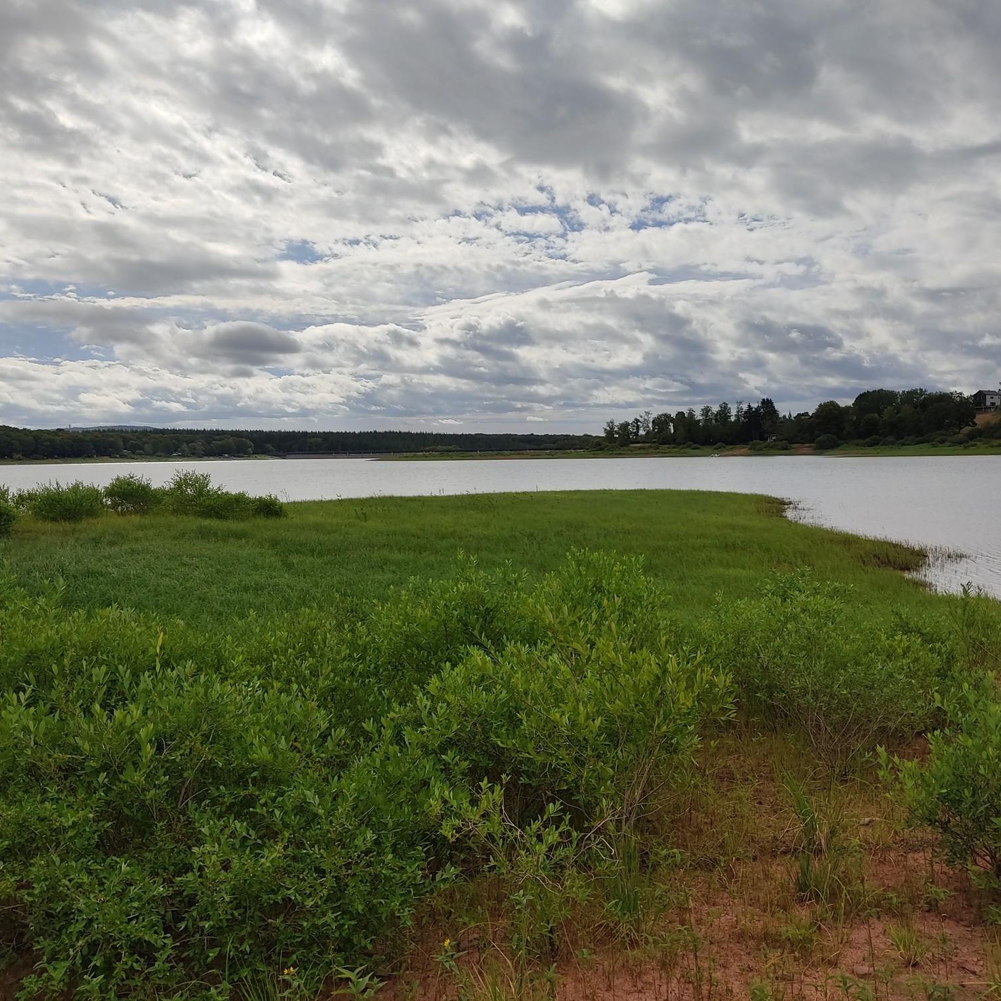
From the dam, you can enjoy a wide view over the reservoir. The striking reddish-brown banks contrast beautifully with the water and the wooded hills of the Vosges in the background.
6
0
The dam is an impressive piece of historical engineering: it is 785 meters long and rises 41 meters from the foundation. Walking on or along the dam offers a wide view of the deep blue water and the surrounding forests. Nice for cycling along the dam!
6
0
The Bassin de Champagney (or Champagney Reservoir) is an impressive artificial reservoir with a surface area of 107 hectares, located in the French department of Haute-Saône (Bourgogne-Franche-Comté region). The reservoir is situated in the southern foothills of the Vosges and was built between 1882 and 1905 to supply water to the never fully completed Canal de la Haute-Saône. Today, the lake has a capacity of 13 million m³ and is a popular destination for nature lovers, hikers, and fishermen.
6
0
This large lake is a popular stop along the cycling routes around Belfort, with beautiful views over the water and the surrounding nature.
6
0
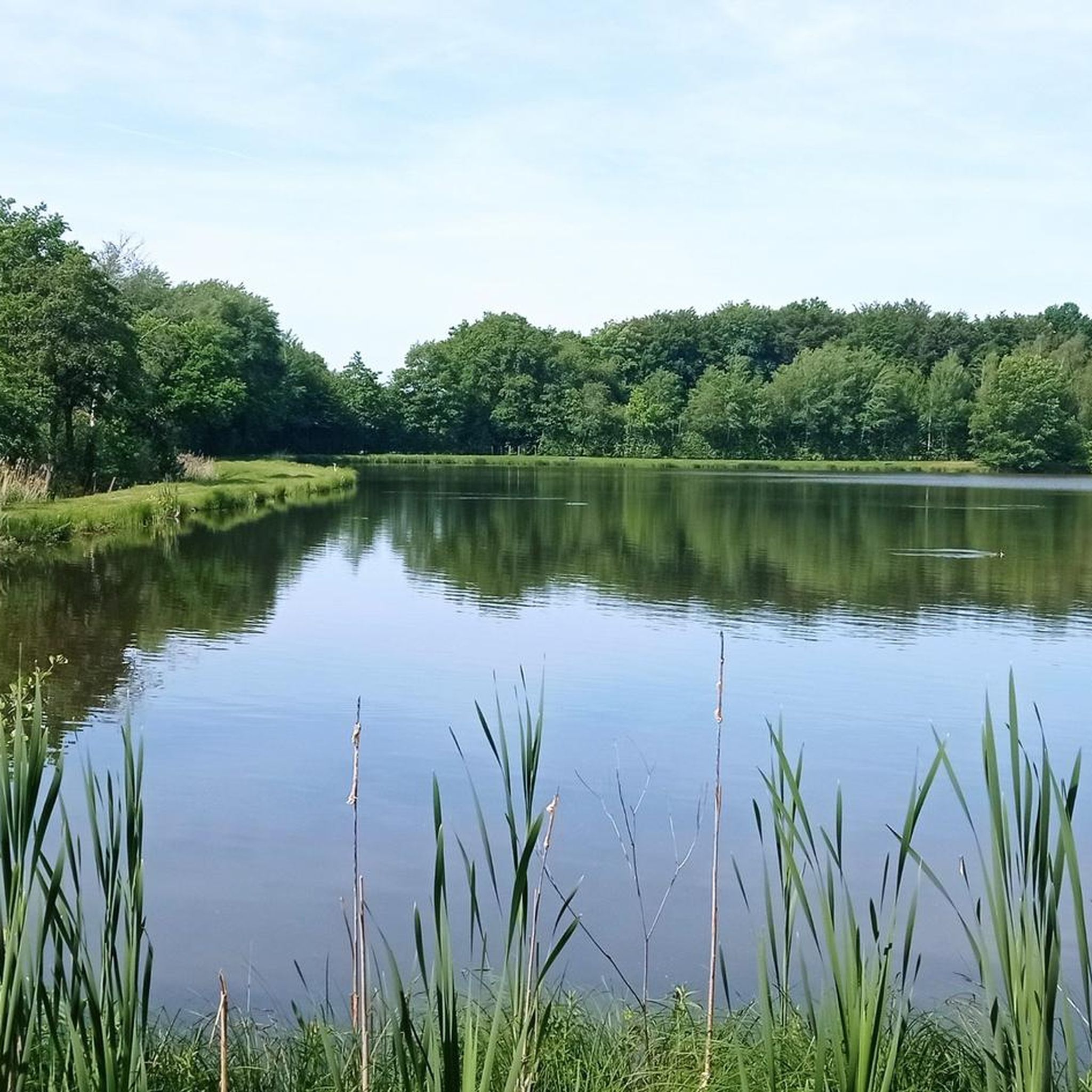
The Étang du Malsaucy (often also called Lac du Malsaucy) is, with an area of 55 hectares, the largest lake in the French department of Territoire de Belfort. It is nestled in the Parc naturel régional des Ballons des Vosges, spread across the municipalities of Évette-Salbert, Lachapelle-sous-Chaux, and Sermamagny. Originally built at the end of the 15th century for fish farming, it is now one of the most important recreational and natural areas in the region.
6
0

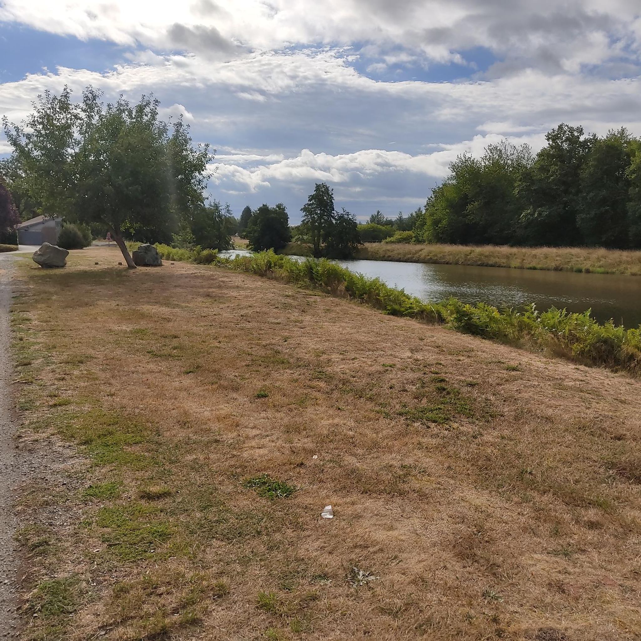
very beautiful route!!! drive slowly!! watch out for pedestrians
0
1
watch out for mosquitoes!!!
0
0

Frequently Asked Questions
How many hiking trails are available in Frahier-Et-Chatebier?
Frahier-Et-Chatebier offers a wide selection of hiking routes, with over 340 trails documented on komoot. These range from easy strolls to more challenging paths, ensuring options for various fitness levels.
What kind of landscapes can I expect to see while hiking in Frahier-Et-Chatebier?
The region is characterized by diverse landscapes, including extensive forest areas, picturesque ponds, and the historic Canal de la Haute-Saône. You can also enjoy scenic views of the Vosges Saônoises mountains, especially within or near the Parc naturel régional des Ballons des Vosges.
Are there any easy hiking trails suitable for beginners or a relaxed walk?
Yes, there are many easy trails. For a gentle introduction, consider the Port de Frahier loop from Échavanne, which is an easy 6.6 km route. Another accessible option is the View of the Lake and Dam – Bassin de Champagney loop from Champagney, offering pleasant views around the lake.
Can I find circular hiking routes in Frahier-Et-Chatebier?
Absolutely. Many trails in the area are circular, allowing you to start and end at the same point. A popular choice is the Bassin de Champagney — loop in the Parc Naturel Régional des Ballons des Vosges, an easy 6.7 km loop that explores the scenic regional park.
What natural features or landmarks can I discover along the trails?
Hikers can explore several natural and historical features. The region is known for its canals, including sections with unique underground passages. You'll also find numerous ponds, such as Véronne Pond and Étang du Malsaucy, and the Champagney Dam. The area also offers opportunities to spot various bird species in its extensive forests.
Are there any longer or more challenging hikes for experienced trekkers?
Yes, for those seeking a longer adventure, the Véronne Pond – Lac du Malsaucy loop from Errevet is a moderate 16.3 km trail that takes approximately 4 hours and 28 minutes to complete, leading through varied landscapes.
What do other hikers say about the trails in Frahier-Et-Chatebier?
The trails in Frahier-Et-Chatebier are highly regarded by the komoot community, holding an average rating of 4.4 stars from over 700 reviews. Hikers often praise the diverse scenery, well-maintained paths, and the peaceful atmosphere of the forests and waterways.
Are there any historical sites or castles nearby that I can visit?
Yes, the region is close to several historical sites. You can explore the impressive Citadel of Belfort, the Mont Vaudois Fort, or the Fort de Giromagny, all offering a glimpse into the area's past.
What kind of wildlife can I expect to see while hiking?
The diverse natural environments, particularly the forests and ponds, support a rich biodiversity. Hikers might observe various bird species such as nightingales, warblers, orioles, common chiffchaffs, and finches.
Are there trails that offer views of the surrounding mountains?
Many trails in Frahier-Et-Chatebier provide beautiful views, especially towards the Vosges Saônoises mountains. The region's proximity to the Parc naturel régional des Ballons des Vosges ensures plenty of opportunities for scenic mountain vistas.
How many moderate difficulty trails are there?
For hikers looking for a bit more challenge, there are 193 moderate difficulty trails available in Frahier-Et-Chatebier, offering longer distances and more varied terrain.
Most popular routes around Frahier-Et-Chatebier
Most popular attractions around Frahier-Et-Chatebier

Get inspired with the komoot mobile app


Explore more
Browse the best Hikes in other regions.
