The best walks and hikes around Jalognes
4.8
(108)
548
hikers
22
hikes
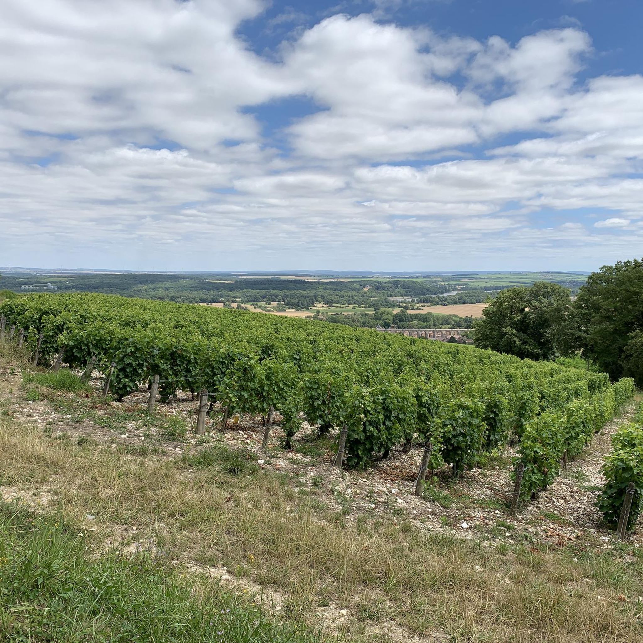
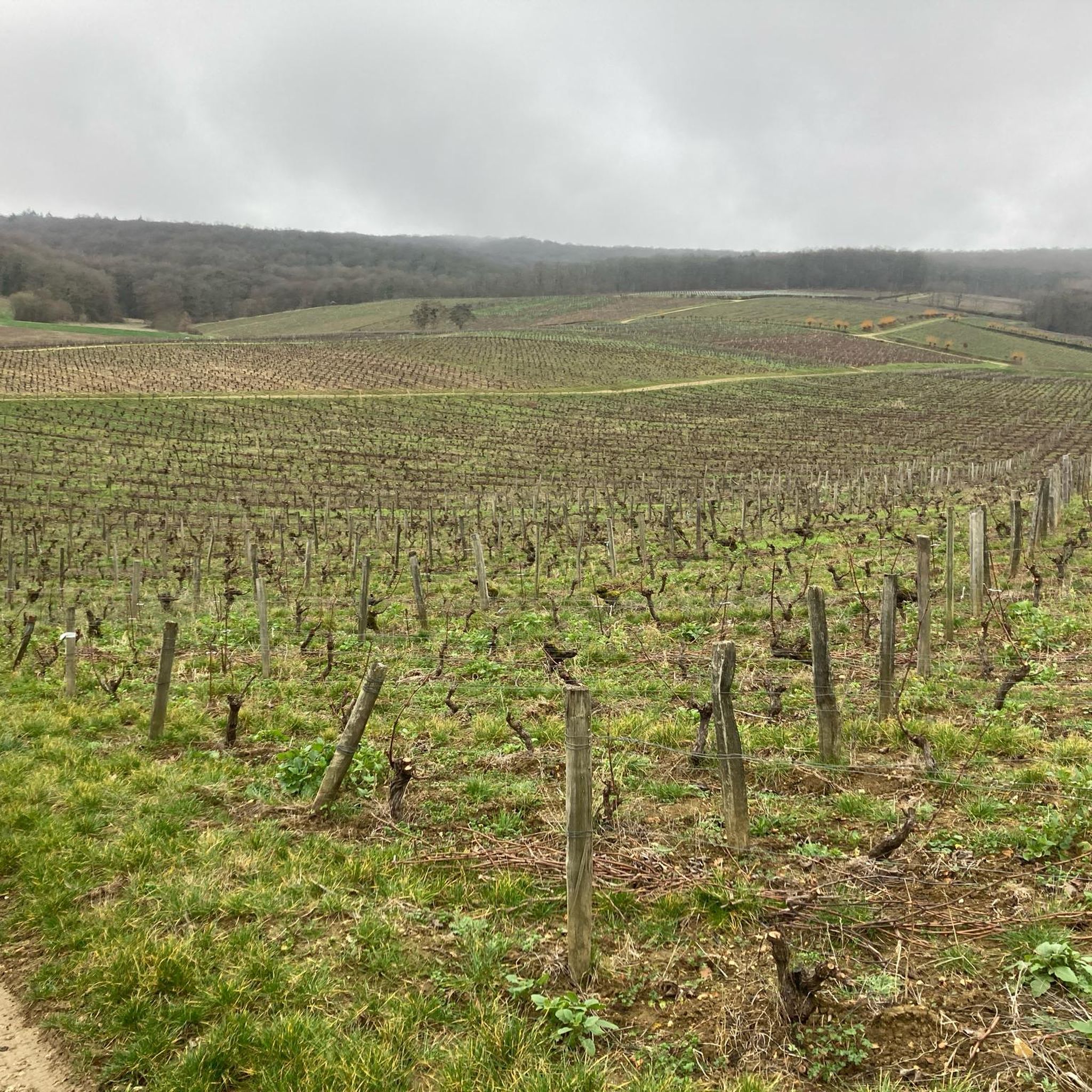
Hiking around Jalognes offers trails through a landscape characterized by vineyards, rolling hills, and rural countryside. The region features a mix of open agricultural land and smaller wooded areas, providing varied scenery for outdoor activities. Hikers can expect routes that traverse gentle slopes and offer views of the surrounding French wine country.
Best hiking trails around Jalognes
- The most popular hiking route is View of Sancerre – In the heart of the vineyards loop from Bué, a 11.4 miles…
Last updated: July 3, 2026
5.0
(2)
17
hikers
18.7km
05:18
410m
410m
Hard hike. Very good fitness required. Easily-accessible paths. Suitable for all skill levels.
4.5
(4)
11
hikers
Easy hike. Great for any fitness level. Easily-accessible paths. Suitable for all skill levels.

Sign up for free
3.0
(1)
18
hikers
15.1km
04:22
390m
390m
Moderate hike. Good fitness required. Easily-accessible paths. Suitable for all skill levels.
5.0
(1)
3
hikers
12.5km
03:20
130m
130m
Moderate hike. Good fitness required. Easily-accessible paths. Suitable for all skill levels.
5
hikers
Easy hike. Great for any fitness level. Easily-accessible paths. Suitable for all skill levels.
Get access to more routes and recommendations from other explorers.
Sign up for free
Already have an account?
Our route recommendations are based on thousands of hikes, rides, and runs completed by other people on komoot.
Start today with a free account
Your next adventure awaits.
Login or Signup
Tips from the Community

The first part of the walk often follows the old railway line, including the old railway bridges, which offer beautiful views.
0
0
Facade art is almost always about the most important local product: Wine
0
0
The square in the center of Sancerre is full of terraces. Our favorite is Café Des Arts. It's a great place to relax with a cup of coffee, a glass of wine, and even a bite to eat at lunchtime. Arrive early, or it's sure to be packed.
0
0
This Citroën AC4 was probably built between 1928 and 1932. The true enthusiast will know the exact year.
0
0

1
0
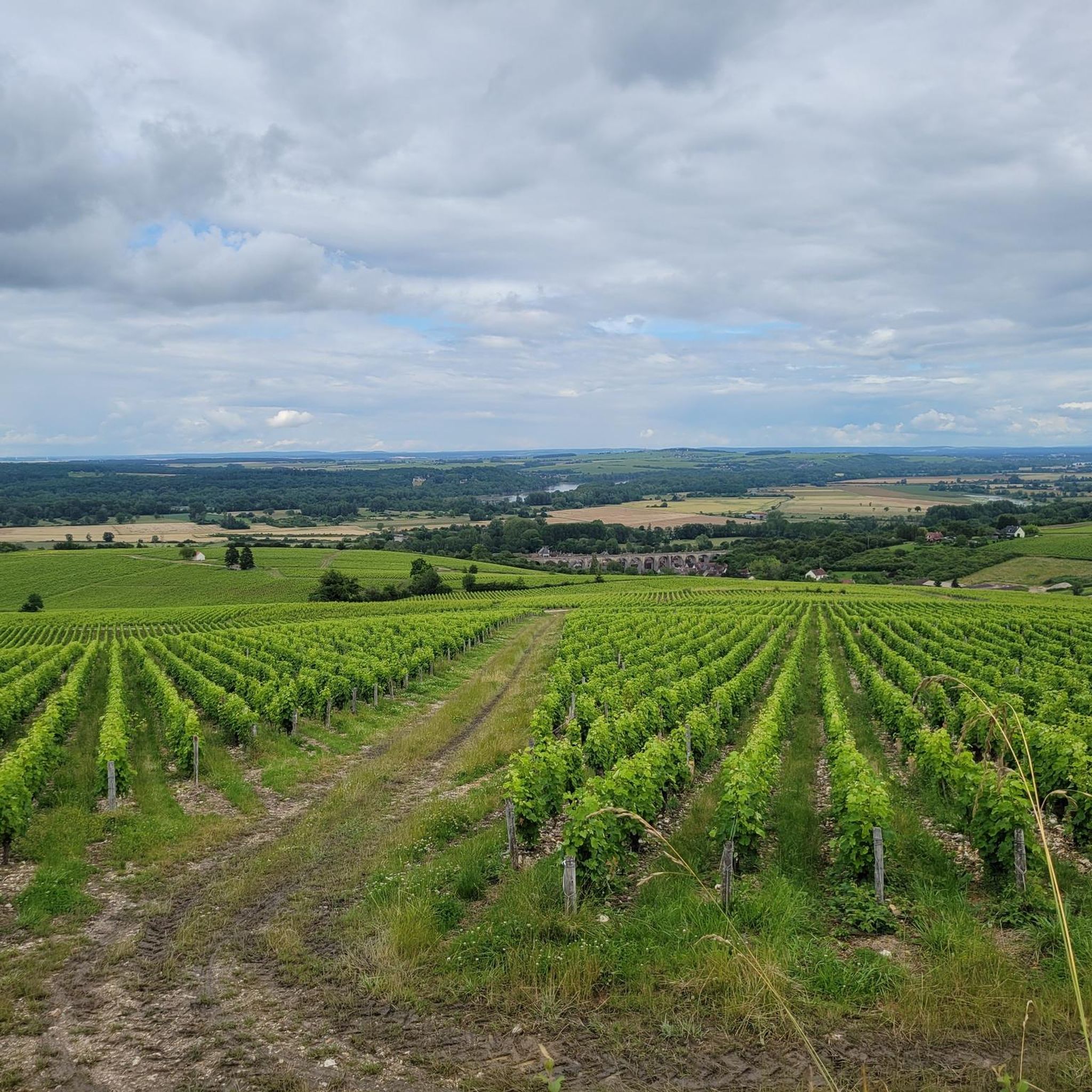
It's all in the title... Incredible panorama
1
0
Frequently Asked Questions
How many hiking trails are available around Jalognes?
There are over 15 hiking trails around Jalognes, offering a variety of options for different skill levels. The region features a mix of easy, moderate, and difficult routes through vineyards and rural landscapes.
What are the typical difficulty levels for hikes in Jalognes?
Jalognes offers a range of difficulty levels. You'll find 3 easy routes, 13 moderate routes, and 3 difficult routes. This variety ensures there's something for everyone, from leisurely strolls to more challenging treks through the French wine country.
Are there family-friendly hiking trails in Jalognes?
Yes, there are several family-friendly options. For an easy and pleasant walk, consider the Kirch- und Rathausplatz – La Maison de Sancerre loop from Ménétréol-sous-Sancerre. This 3.6-mile path features gentle terrain through local villages and countryside, suitable for most families.
Can I bring my dog on hikes around Jalognes?
Generally, dogs are welcome on trails in rural areas like Jalognes, especially if kept on a leash. Given the agricultural landscape with vineyards and open fields, it's always best to keep your dog under control to respect local wildlife and private property. Always carry water for your pet, especially on longer routes.
What kind of scenery can I expect on hikes around Jalognes?
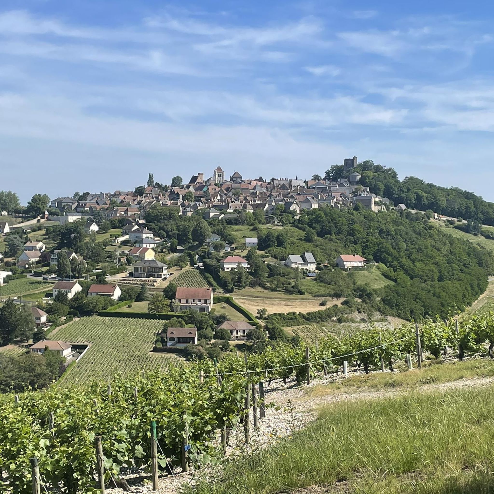
Hiking around Jalognes offers picturesque scenery characterized by rolling hills, expansive vineyards, and tranquil rural countryside. You'll traverse open agricultural land and smaller wooded areas, often with panoramic views of the surrounding French wine country, particularly towards Sancerre.
Are there circular hiking routes available in Jalognes?
Yes, many of the trails around Jalognes are circular, allowing you to start and end at the same point. An example is the View of Sancerre – In the heart of the vineyards loop from Bué, which offers a comprehensive tour of the vineyard landscape.
What landmarks or points of interest can I see while hiking around Jalognes?
While hiking, you can explore several notable points of interest. The historic town of Sancerre is a prominent feature, offering stunning views. You might also encounter the impressive Saint-Satur Viaduct or enjoy a Viewpoint over the Sancerre valley, providing excellent photo opportunities.
What is the best time of year to go hiking in Jalognes?
The best time to hike in Jalognes is typically during the spring (April to June) and autumn (September to October). During these seasons, the weather is generally mild and pleasant, and the vineyards offer beautiful green foliage in spring or vibrant colors in autumn. Summers can be warm, while winters are cooler and may have less predictable weather.
What do other hikers enjoy most about the trails in Jalognes?
The trails around Jalognes are highly rated by the komoot community, with an average score of 4.6 stars from over 90 reviews. Hikers frequently praise the beautiful vineyard landscapes, the peaceful rural atmosphere, and the well-maintained paths that offer varied scenery and panoramic views of the Sancerre region.
What is the typical duration of hikes around Jalognes?
Hike durations vary significantly depending on the route's length and difficulty. For instance, an easy path like the Kirch- und Rathausplatz – La Maison de Sancerre loop takes about 2 hours. More challenging routes, such as the La Maison de Sancerre – Kirch- und Rathausplatz loop from Crézancy-en-Sancerre, can take over 7 hours to complete.
Are there any longer, more challenging hikes for experienced trekkers?
Yes, for experienced trekkers seeking a longer challenge, the La Maison de Sancerre – Kirch- und Rathausplatz loop from Crézancy-en-Sancerre is a difficult 15.9-mile (25.7 km) route with significant elevation gain, typically taking over 7 hours. Another difficult option is the View of Sancerre – In the heart of the vineyards loop from Bué, which is 11.4 miles (18.4 km) long.
Is parking available at the trailheads in Jalognes?
While specific parking information for every trailhead is not always available, most rural hiking areas in France, especially those near villages or popular attractions like vineyards, typically offer designated parking areas. It's advisable to check local signage or maps for parking options near your chosen starting point.
Most popular attractions around Jalognes

Get inspired with the komoot mobile app


Explore more
Browse the best Hikes in other regions.
