The best walks and hikes around Cercié
4.5
(682)
3,510
hikers
258
hikes
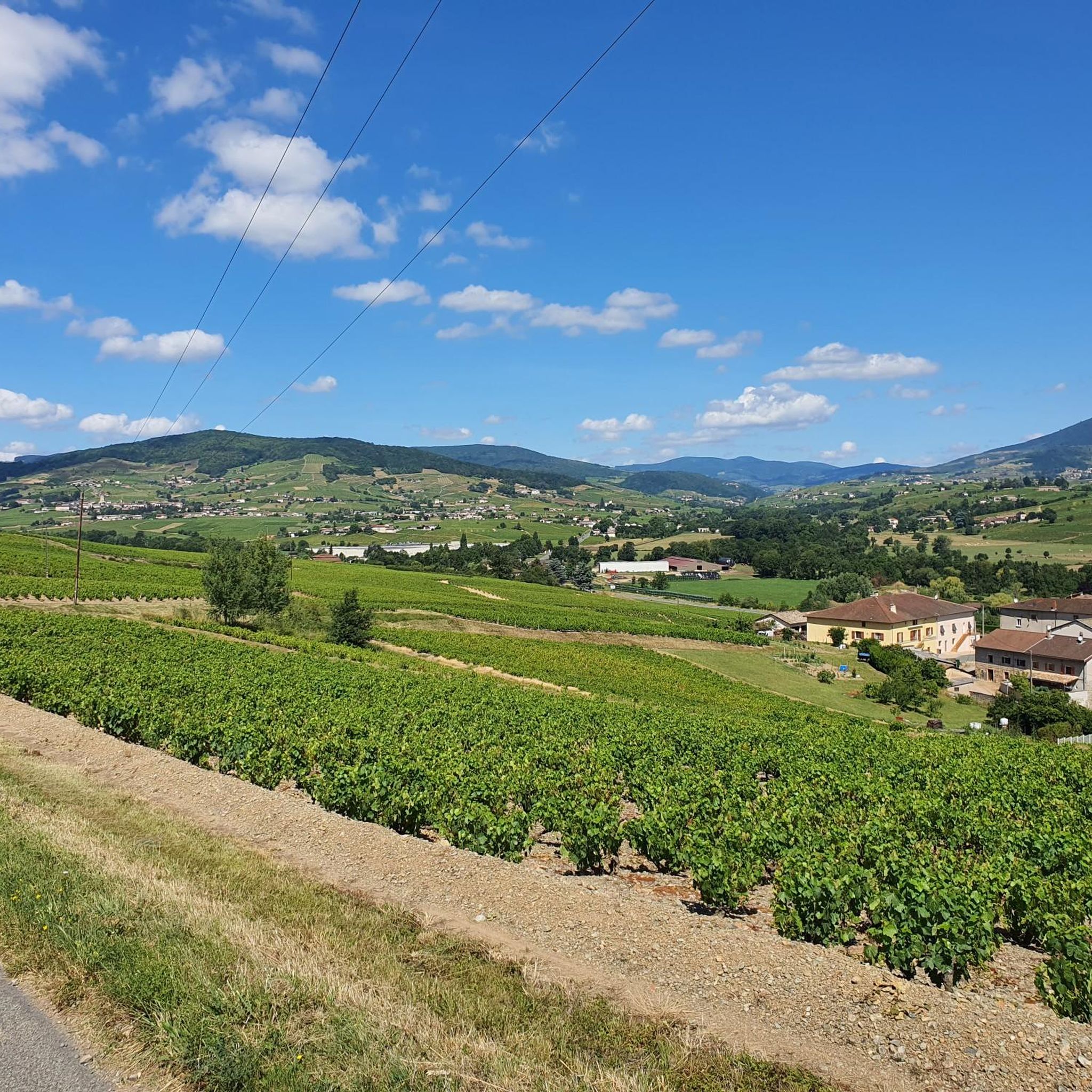
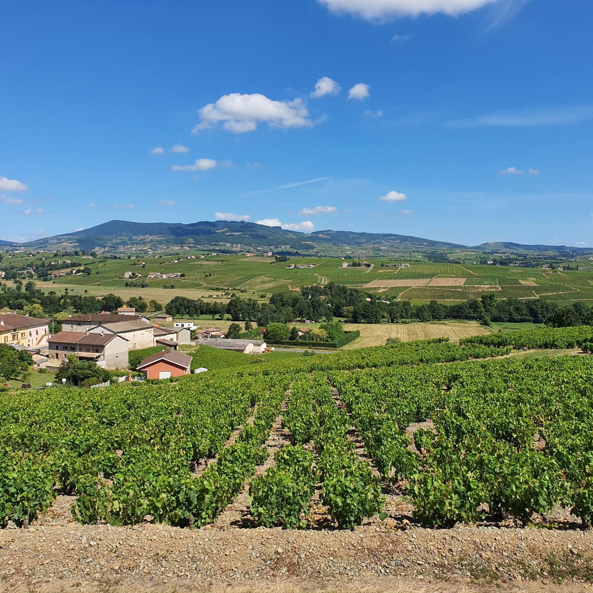
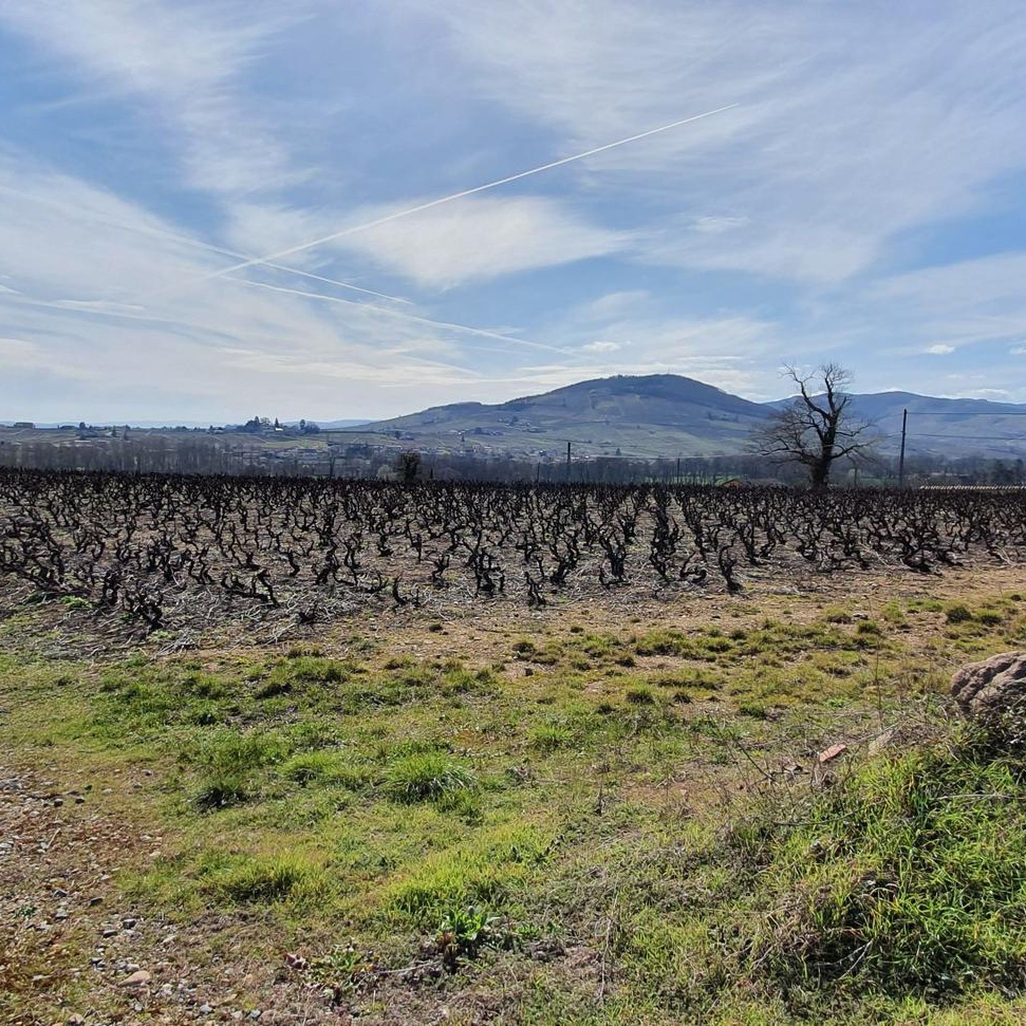
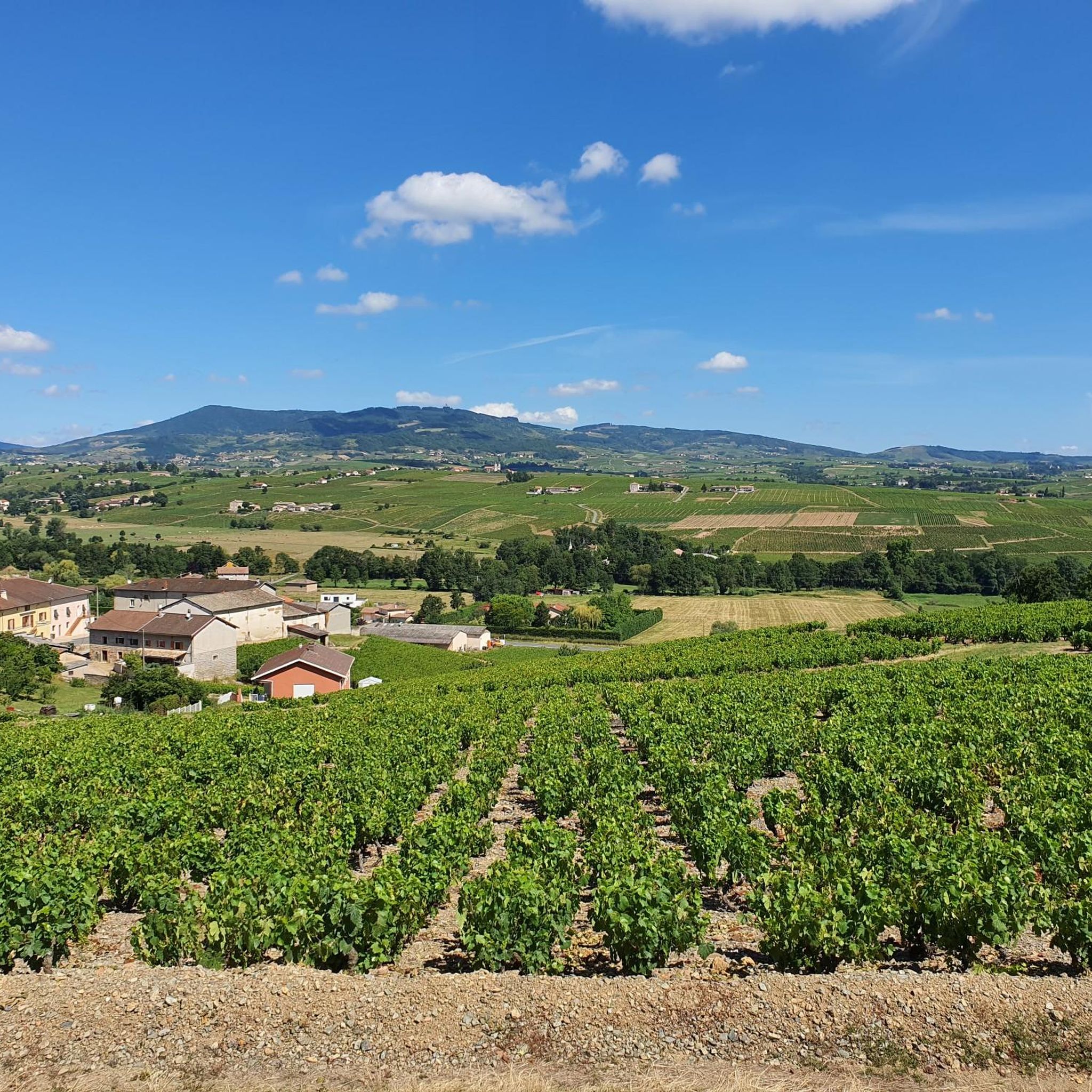
Hiking around Cercié, situated in France's Beaujolais region, is defined by its rolling hills, extensive vineyards, and diverse forested terrain. The area is part of the UNESCO Geopark, showcasing a rich geological heritage. Prominent features include Mont Brouilly, which offers panoramic views, and numerous valleys and hillsides. The landscape provides varied hiking experiences across different elevations.
Best hiking trails around Cercié
- The most popular hiking route is Mont Brouilly Loop, a 4.8 miles (7.7 km) trail that takes 2…
Last updated: October 14, 2026
3.9
(15)
59
hikers
7.70km
02:22
250m
270m
Hike the moderate Tour of Mont Brouilly, a 4.8-mile (7.7 km) trail through Beaujolais vineyards to panoramic summit views.
5.0
(11)
28
hikers
6.21km
01:57
240m
240m
Easy hike. Great for any fitness level. Easily-accessible paths. Suitable for all skill levels.

5.0
(10)
15
hikers
10.2km
02:58
260m
260m
Moderate hike. Good fitness required. Easily-accessible paths. Suitable for all skill levels.
4.8
(4)
34
hikers
3.83km
01:11
130m
140m
Moderate hike. Great for any fitness level. Mostly accessible paths. Sure-footedness required.
12
hikers
Moderate hike. Good fitness required. Easily-accessible paths. Suitable for all skill levels.
Get access to more routes and recommendations from other explorers.
Already have an account?
Our route recommendations are based on thousands of hikes, rides, and runs completed by other people on komoot.
Start today with a free account
Your next adventure awaits.

Tips from the Community

The Saint-Jean Apôtre church in Régnié-Durette is one of the largest in Beaujolais. It was built in 1867 according to the plans of architect Bossan, to whom we also owe the Basilica of Fourvière in Lyon.
0
0

Chapel built after a mildew epidemic that ravaged crops. It was built to protect the site. Explanatory panels on site
1
0

very beautiful view of Beaujolais
1
0


Closure to cars of the roads leading to the summit of Mont Brouilly three Sundays per year (the last Sundays of May, July and September). Free snack near the summit.
0
0
Built in the late 1850s to protect the vineyard from hail, frost and powdery mildew. A sort of Santa Maria della Salute of very local dimension and scope.
1
0
Frequently Asked Questions
What kind of terrain can I expect when hiking around Cercié?
Hiking around Cercié offers a diverse landscape characterized by rolling hills, extensive vineyards, and varied forested terrain. The region is part of the UNESCO Geopark, showcasing a rich geological heritage. You'll encounter vine-covered slopes, particularly around Mont Brouilly, and picturesque valleys and hillsides, providing a mix of open views and shaded paths.
Are there hiking trails suitable for different fitness levels in Cercié?
Yes, Cercié offers a wide range of hiking trails catering to various fitness levels. Out of over 240 routes, you'll find approximately 74 easy trails perfect for a leisurely stroll, 148 moderate routes for those seeking a bit more challenge, and 21 difficult trails for experienced hikers looking for a strenuous workout.
What are some notable viewpoints or natural features to see on hikes in Cercié?
Cercié is rich in panoramic viewpoints and natural features. A prominent highlight is Mont Brouilly, which offers breathtaking vistas of the Beaujolais mountains, the Saône valley, and even the Alps on clear days. Another exceptional spot is Le Relais du Parasoir, near Saint-Cyr-le-Châtoux, providing views of the vineyards and the forests of Azergues. The Rochefort Cross also offers superb panoramic views.
Are there family-friendly hiking options in Cercié?
Absolutely. Many of the easier trails around Cercié are suitable for families. For instance, the Mont Brouilly – Mont Brouilly viewpoint loop from Saint-Lager is an easy 3.8-mile (6.2 km) path with less elevation gain, making it a good choice for families. Additionally, the Beaujolais Greenway (Voie Verte du Beaujolais) offers a car-free, flat route suitable for walking, cycling, and rollerblading through vineyards.
Can I bring my dog on the hiking trails in Cercié?
Most hiking trails in the Cercié region are dog-friendly, allowing you to enjoy the beautiful landscapes with your canine companion. It's always recommended to keep your dog on a leash, especially when passing through vineyards or near livestock, and to carry water for both yourself and your pet. Always check local signage for any specific restrictions.
What is the best time of year to go hiking in Cercié?
The Beaujolais region around Cercié is beautiful year-round, but each season offers a unique experience. Spring brings vibrant greenery and blooming flowers, while autumn showcases the stunning golden and red hues of the vineyards. Summer is ideal for longer days and warm weather, though some trails might be exposed. Winter offers crisp air and unique views, especially after a light snowfall, but some paths might be muddy or slippery.
Are there circular hiking routes available in Cercié?
Yes, Cercié features many excellent circular hiking routes. A popular option is the Mont Brouilly – Mont Brouilly viewpoint loop from Cercié, which is a moderate 6.3-mile (10.1 km) trail. Another well-regarded circular route is the Ballade des 4 clochers loop from Régnié-Durette, an 8.5-mile (13.7 km) trail that takes you through vineyards and local villages.
What do other hikers enjoy the most about hiking in Cercié?
The hiking trails in Cercié are highly rated by the komoot community, with an average score of 4.5 stars from over 500 reviews. Hikers often praise the stunning panoramic views from peaks like Mont Brouilly, the unique experience of walking through the expansive Beaujolais vineyards, and the diverse natural scenery that includes both open hillsides and tranquil forests.
Are there any historical or cultural attractions near the hiking trails?
Beyond the natural beauty, you can discover several interesting attractions. The Rochefort Cross offers historical significance alongside its views. You might also encounter charming local villages and vineyards that are integral to the region's culture. For a deeper dive into the area's heritage, consider visiting the Ferme Sainte-Marie in Saint-Étienne-la-Varenne.
Is public transport available to access hiking trailheads in Cercié?
While specific public transport links directly to all trailheads might be limited, the region is generally accessible. For detailed information on local bus services or train connections to nearby towns, it's best to consult the regional transport authority websites. Many visitors choose to drive to trailheads, where parking is typically available.
Are there any shorter, easier hikes for a quick outing?
Yes, if you're looking for a shorter, easier option, the Mont Brouilly viewpoint – View of the Monts d'Or loop from Saint-Lager is a moderate 2.3-mile (3.7 km) trail. It offers beautiful views without requiring a significant time commitment or strenuous effort, making it ideal for a quick and rewarding walk.
Most popular attractions around Cercié

Get inspired with the komoot mobile app


Explore more
Browse the best Hikes in other regions.
