The best running trails around Sainte-Gemme-En-Sancerrois
4.4
(47)
2,324
runners
175
runs
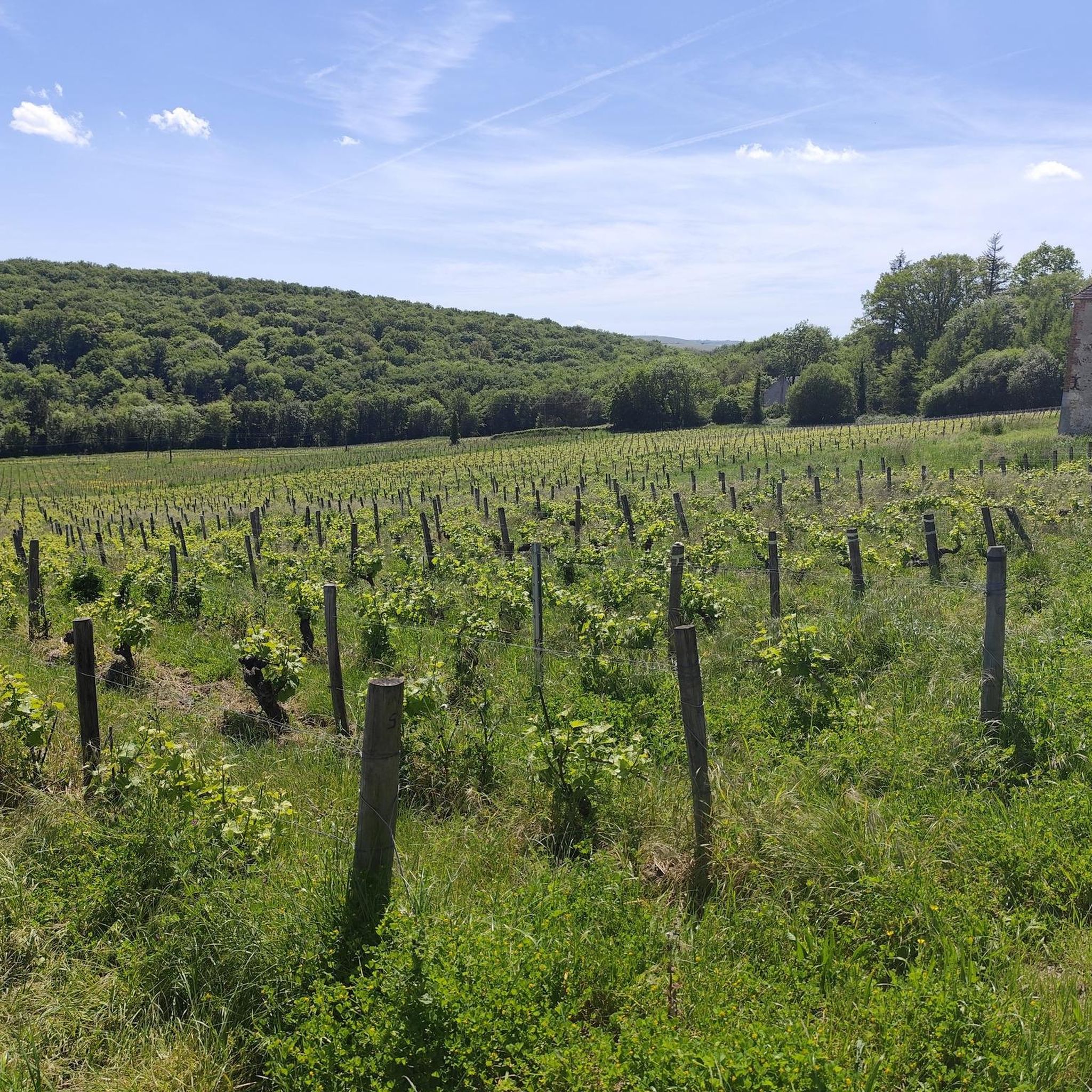
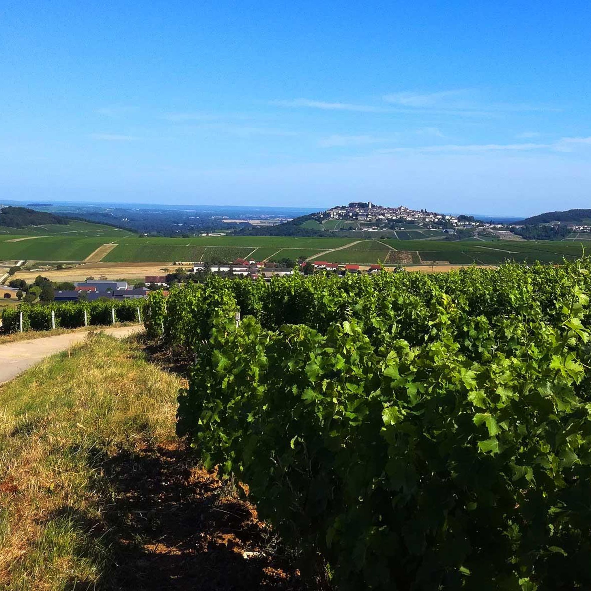
Jogging routes around Sainte-Gemme-En-Sancerrois traverse a landscape characterized by vineyard-covered rolling hills and the Sancerre AOC Forest-Vineyard. The region features varied terrain, including wide paths through vineyards, bocage, and woods, with elevations ranging from 174m to 303m. These natural features provide diverse running environments, from gentle inclines to more challenging ascents. The area's network of paths offers opportunities to explore the distinct terroir and panoramic views of the Sancerre region.
Best jogging routes around Sainte-Gemme-En-Sancerrois
- The most popular jogging route…
Last updated: October 7, 2026
3
runners
32.0km
03:47
350m
360m
This difficult 19.9-mile (32.0 km) jogging circuit around Savigny offers diverse landscapes and significant elevation gain for experienced r
25
runners
16.5km
01:42
50m
50m
Hard run. Very good fitness required. Mostly paved surfaces. Suitable for all skill levels.

4
runners
17.8km
02:11
480m
480m
Hard run. Very good fitness required. Mostly paved surfaces. Suitable for all skill levels.
18
runners
14.0km
01:31
20m
20m
Moderate run. Good fitness required. Mostly paved surfaces. Suitable for all skill levels.
4.5
(2)
5
runners
6.46km
00:40
30m
30m
Moderate run. Good fitness required. Mostly paved surfaces. Suitable for all skill levels.
Get access to more routes and recommendations from other explorers.
Already have an account?
Our route recommendations are based on thousands of hikes, rides, and runs completed by other people on komoot.
Start today with a free account
Your next adventure awaits.
Tips from the Community


Rivers and canals crisscross the country, the latter in particular being a crucial part of the transport infrastructure in earlier times. Later, first rail, and later again trucks, took over the task of transporting goods. In the competition between different modes of transport, they were faster and cheaper than barges – and thus more efficient. When building the artificial waterways, however, it had to be taken into account that differences in elevation always had to be overcome, and so locks are often lined up along the canals – at varying intervals, depending on the local situation. Only with their help was shipping possible.
0
0
It is presumably a former "chemin de halage" (in German "treidelpfad" or "leinpfad"), which runs alongside the canal's bed. In earlier times, such a path was an essential part of the transport infrastructure. Before ships could be powered by motors, horses walked along the bank, pulling the boat against the current. This was called "treideln" (pulling), and this is how the towpaths got their name, which has been passed down to this day. Where these paths, which run close to the bank, have been preserved, they are popular with hikers, walkers, joggers, and cyclists.
1
0

The trip along the canal is a meditation - at least as relaxing as one.
1
0

It's all in the title... Incredible panorama
1
0

A view you never get tired of. The Loire, the viaduct. Sancerre is a paradise!
0
0
Frequently Asked Questions
How many running routes are available in Sainte-Gemme-en-Sancerrois?
There are over 160 running routes around Sainte-Gemme-en-Sancerrois, offering a wide variety of options for different skill levels and preferences. The region is well-known for its extensive network of paths through vineyards, bocage, and woods.
What is the general difficulty level of running trails in this region?
The running trails in Sainte-Gemme-en-Sancerrois offer a good mix of difficulties. You'll find approximately 9 easy routes, around 99 moderate routes, and about 60 difficult routes, ensuring options for every runner from beginners to experienced athletes.
What do other runners enjoy most about the trails in Sainte-Gemme-en-Sancerrois?
The running routes in Sainte-Gemme-en-Sancerrois are highly rated by the komoot community, with an average score of 4.5 stars from nearly 20 reviews. Runners often praise the picturesque vineyard landscapes, varied terrain, and the stunning panoramic views of the Loire River and the historic town of Sancerre.
Are there any easy running routes suitable for beginners or a relaxed jog?
Yes, Sainte-Gemme-en-Sancerrois offers several easy running routes. While specific easy routes are not detailed in the top selections, the region's network includes paths through vineyards and bocage that provide gentler inclines, perfect for a relaxed jog. Look for routes with minimal elevation gain for a more leisurely experience.
Can I find challenging running trails with significant elevation changes?
Absolutely. The region's elevation ranges from 174m to 303m, ensuring varied inclines and descents. For a challenging experience, consider the Saint-Satur Viaduct – Viaduct of Saint-Satur loop from Sury-en-Vaux, an 18 km trail with significant elevation gain, often completed in about 2 hours 10 minutes.
Are there running routes that offer scenic viewpoints?
Many routes in Sainte-Gemme-en-Sancerrois traverse vineyard-covered hills, providing expansive and beautiful panoramas. You can enjoy breathtaking views of the Loire River and the Sancerre region. A notable spot is the Viewpoint over the Sancerre valley, which offers stunning vistas.
What kind of natural features or landmarks can I expect to see while running?
While jogging, you'll encounter picturesque vineyard landscapes, rolling hills, and paths through bocage and woods. Key landmarks include the Boisrond Lock and the historic town of Sancerre. You might also run alongside the Canal latéral à la Loire or pass the impressive Saint-Satur Viaduct.
Are there any circular running routes in Sainte-Gemme-en-Sancerrois?
Yes, many of the running routes in the region are circular, allowing you to start and finish at the same point. An example is the Boisrond Lock – Cosne-Cours-sur-Loire loop from Bannay, a challenging 17 km path offering a mix of riverside and rural scenery.
When is the best time of year to go jogging in Sainte-Gemme-en-Sancerrois?
The Sancerre region is beautiful year-round, but spring and autumn generally offer the most pleasant temperatures for jogging, with vibrant colors in the vineyards. Summer can be warm, so early morning or late evening runs are recommended. Winter runs are also possible, offering a different, often quieter, perspective of the landscape.
Are there any running routes that follow the Loire River?
Yes, you can find routes that offer riverside scenery. For instance, the Bannay – Canal latéral à la Loire loop from Bannay is a moderate 14 km route that takes you along the canal, providing a flat and scenic running experience near the water.
Are there any shorter running loops for a quick workout?
For a quicker run, consider the Running loop from Levée de la Loire. This moderate route is approximately 6.3 km long and can be completed in about 40 minutes, offering a convenient option for a shorter workout.
Most popular routes around Sainte-Gemme-En-Sancerrois
Most popular attractions around Sainte-Gemme-En-Sancerrois

Get inspired with the komoot mobile app


Explore more
Browse the best Running Trails & Routes in other regions.
