The best running trails around Olliergues
4.1
(11)
1,434
runners
83
runs
Jogging around Olliergues offers a diverse range of landscapes within the Livradois-Forez Regional Natural Park. The region is characterized by varied mountain landscapes, including steep ascents, passes, and summits, alongside wooded hills and the meandering Dore River. Runners can explore peaceful ponds, extensive forests, and high plateaus, providing a rich natural environment for physical activity. This area presents a network of routes suitable for various fitness levels, from gentle paths around lakes to challenging mountain trails.
Best jogging routes around…
Last updated: June 27, 2026
3.0
(1)
476
runners
50.7km
06:24
1,730m
1,730m
Hard run. Very good fitness required. Mostly paved surfaces. Suitable for all skill levels.
26
runners
21.6km
02:38
690m
680m
Hard run. Very good fitness required. Mostly paved surfaces. Suitable for all skill levels.

Sign up for free
4.0
(1)
13
runners
10.8km
01:12
210m
210m
Moderate run. Good fitness required. Mostly paved surfaces. Suitable for all skill levels.
5
runners
9.15km
01:05
280m
280m
Moderate run. Good fitness required. Mostly paved surfaces. Suitable for all skill levels.
6
runners
9.54km
01:06
200m
200m
Moderate run. Good fitness required. Mostly paved surfaces. Suitable for all skill levels.
Get access to more routes and recommendations from other explorers.
Sign up for free
Already have an account?
Our route recommendations are based on thousands of hikes, rides, and runs completed by other people on komoot.
Start today with a free account
Your next adventure awaits.
Login or Signup

Tips from the Community

LTO Tracker is a reliable tool designed to simplify how businesses monitor and manage Limited Time Offers with precision. By placing LTO Tracker (https://ltotracker.org/) at the center of your workflow, teams gain clear visibility into deadlines, offer progress, and promotional performance. This streamlined system reduces manual errors, enhances coordination, and supports quicker decision-making.
0
0

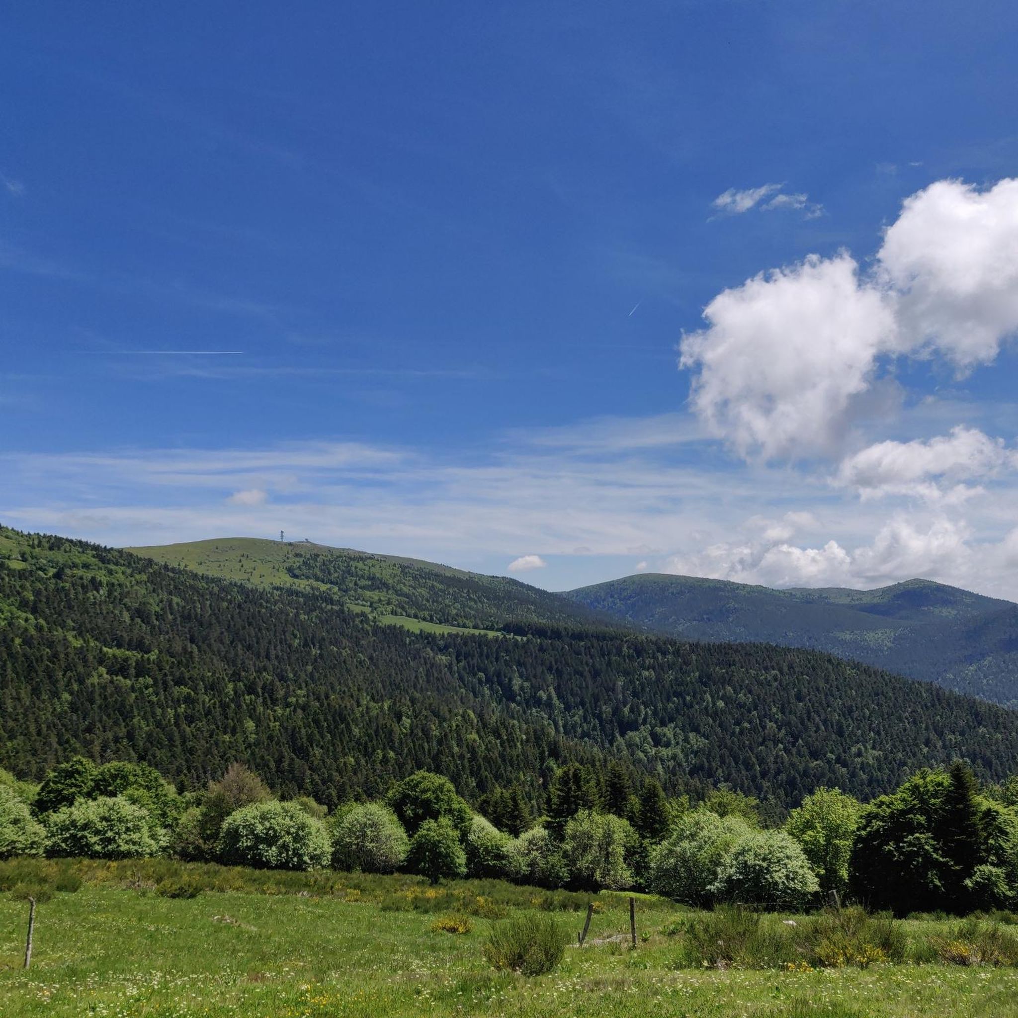
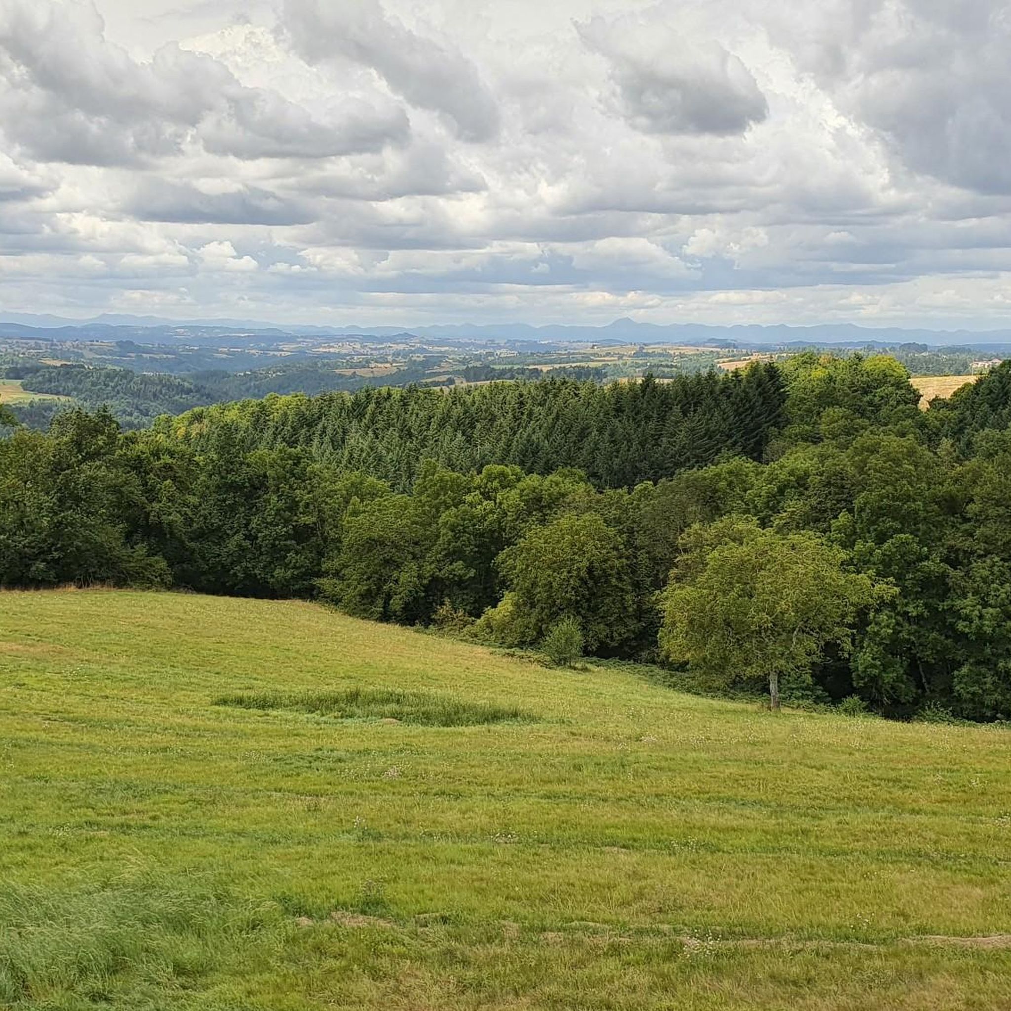
Very nice viewpoint overlooking the valley
0
0
A very beautiful viewpoint; in good conditions, you can see the Alps.
0
0

Impeccably laid out, top-notch maintenance👌 and an enchanting setting, this island of freshness on the Forez mountainside is an absolute must-see! The path that goes around the lake is fantastic: a succession of small wooden culverts, cool undergrowth and clearings offering superb views, you cycle there with constantly renewed pleasure.
1
0
Touring Lake Aubusson is always a moment of timeless pleasure. The succession of refreshing undergrowth and magnificent viewpoints is simply a treat. The maintenance is always impeccable, the path is without difficulties. Accessible by mountain bike. 100% recommended! ! ! !
1
0

Superb view - "Pierre Pamole" is a granite summit located at the northern end of the Monts du Forez, whose base is made up of magmatic and metamorphic rocks.
0
0

A great little pass with a nice view to enjoy from Vollore. Follow it up with the Col des Sagnes because the descent between the two is fantastic!
1
0

Located at 1,110 meters on the heights of Noirétable, the sanctuary of Notre-Dame de l’Hermitage is a reception site (pilgrims, visitors, tourists) managed by the congregation of the sisters of Notre-Dame de la Salette.
0
0
Frequently Asked Questions
How many running routes are available around Olliergues?
There are over 75 running routes available around Olliergues, offering a wide variety of options for different skill levels and preferences within the picturesque Livradois-Forez Regional Natural Park.
What kind of terrain can I expect on the jogging trails near Olliergues?
The terrain around Olliergues is incredibly diverse, ranging from varied mountain landscapes with steep ascents and panoramic summits to peaceful paths around lakes and through extensive forests. You'll encounter wooded hills, the meandering Dore River, and high plateaus, all within the beautiful bocage landscape of the Livradois-Forez Regional Natural Park.
Are there easy running routes suitable for beginners in Olliergues?
Yes, Olliergues offers several easy running routes perfect for beginners or those looking for a relaxed jog. These trails often feature well-maintained paths and gentler inclines, allowing you to enjoy the scenery without excessive challenge.
Are there challenging running routes for experienced trail runners in the region?
Absolutely. For experienced trail runners, the region provides numerous challenging routes, including those with significant elevation gains and technical sections. A notable difficult route is the Lake Aubusson – Pierre Pamole Summit loop from Augerolles, which spans over 50 km and includes a substantial ascent to a summit, offering a rewarding experience for those seeking a demanding run.
What natural landmarks or scenic viewpoints can I discover while jogging in Olliergues?
While jogging around Olliergues, you can explore several stunning natural landmarks. The beautiful Lake Aubusson offers refreshing undergrowth and magnificent viewpoints. For breathtaking panoramic views, consider routes that lead towards the Béal Pass or the Summit of Peyre Mayou, the highest point of the Monts du Forez.
Are there any circular running routes around Olliergues?
Yes, many of the running routes around Olliergues are circular, providing convenient starting and ending points. For instance, the Lake Aubusson loop from Giroux Gare is a popular circular trail that takes you through forests and hills surrounding the lake. Another option is the Château des Grimardies loop from Augerolles, which winds through wooded areas and past historical sites.
What do other runners enjoy most about the trails in Olliergues?
The running trails in Olliergues are highly rated by the komoot community, with an average score of 4.1 stars from over 10 reviews. Runners frequently praise the diverse landscapes, the serene natural environment of the Livradois-Forez Regional Natural Park, and the variety of routes that cater to all fitness levels, from gentle lakeside paths to challenging mountain ascents.
Are there running routes suitable for families with children?
Yes, the region offers several family-friendly running routes. These trails are typically shorter, have less elevation gain, and are often well-maintained, making them suitable for children. The paths around Lake Aubusson, for example, include a popular 3.5 km loop that is easy to navigate and enjoyable for all ages.
Can I bring my dog on the running trails in Olliergues?
The Livradois-Forez Regional Natural Park, where Olliergues is located, generally welcomes dogs on trails, but it's always recommended to keep them on a leash, especially in areas with livestock or protected wildlife. This ensures the safety of your pet, other trail users, and the local ecosystem.
Are there any running routes that pass by historical sites or charming villages?
Yes, some running routes in the Olliergues area allow you to combine your run with a glimpse of local history and charm. For instance, the Château des Grimardies loop from Augerolles takes you past historical sites. Additionally, the extensive trail network connects to picturesque villages like Courpiere, Ambert, and Thiers, which are situated within the natural park and offer historical centers and scenic views.
What is the best time of year for running in Olliergues?
Olliergues offers excellent running conditions throughout much of the year. Spring and autumn provide pleasant temperatures and vibrant scenery, with blooming wildflowers or colorful foliage. Summer is also popular, especially for higher-altitude routes like those near Col du Béal, which offer cooler air. Even winter can be beautiful for running, though some higher trails might require appropriate gear due to snow or ice.
Are there routes with good parking access near the trailheads?
Yes, many popular running routes around Olliergues, especially those around key attractions like Lake Aubusson or starting points for loops, typically have designated parking areas. It's advisable to check specific route details on komoot for precise parking information before you head out.
Most popular attractions around Olliergues

Get inspired with the komoot mobile app


Explore more
Browse the best Running Trails & Routes in other regions.
