The best road cycling routes around Bertignat
4.8
(54)
1,968
riders
154
rides
Road cycling routes around Bertignat are situated within the Livradois-Forez Regional Natural Park, offering a diverse and challenging terrain. The region features a landscape transitioning from the Dore valley to the forested slopes of the Livradois and Forez mountains. Cyclists encounter varied topography, including wooded slopes, bare ridges, and the unique Hautes-Chaumes of the Monts du Forez. This area provides dynamic ascents and descents suitable for road cycling.
Best road cycling routes around Bertignat
- The most popular road cycling route…
Last updated: July 4, 2026
8
riders
80.7km
04:47
1,960m
1,960m
Hard road ride. Very good fitness required. Mostly well-paved surfaces and easy to ride.
4.6
(7)
82
riders
73.7km
04:24
1,920m
1,920m
Hard road ride. Very good fitness required. Mostly well-paved surfaces and easy to ride.

Sign up for free
5.0
(1)
49
riders
51.6km
03:07
1,330m
1,330m
Hard road ride. Very good fitness required. Mostly well-paved surfaces and easy to ride.
5.0
(1)
45
riders
47.1km
02:19
650m
650m
Moderate road ride. Good fitness required. Some segments of this route may be unpaved and difficult to ride.
43
riders
61.7km
03:35
1,490m
1,490m
Hard road ride. Very good fitness required. Mostly well-paved surfaces and easy to ride.
Get access to more routes and recommendations from other explorers.
Sign up for free
Already have an account?
Our route recommendations are based on thousands of hikes, rides, and runs completed by other people on komoot.
Start today with a free account
Your next adventure awaits.
Login or Signup

Tips from the Community

From Job it's quite a climb. 8 km, between 5 and 8%
0
0

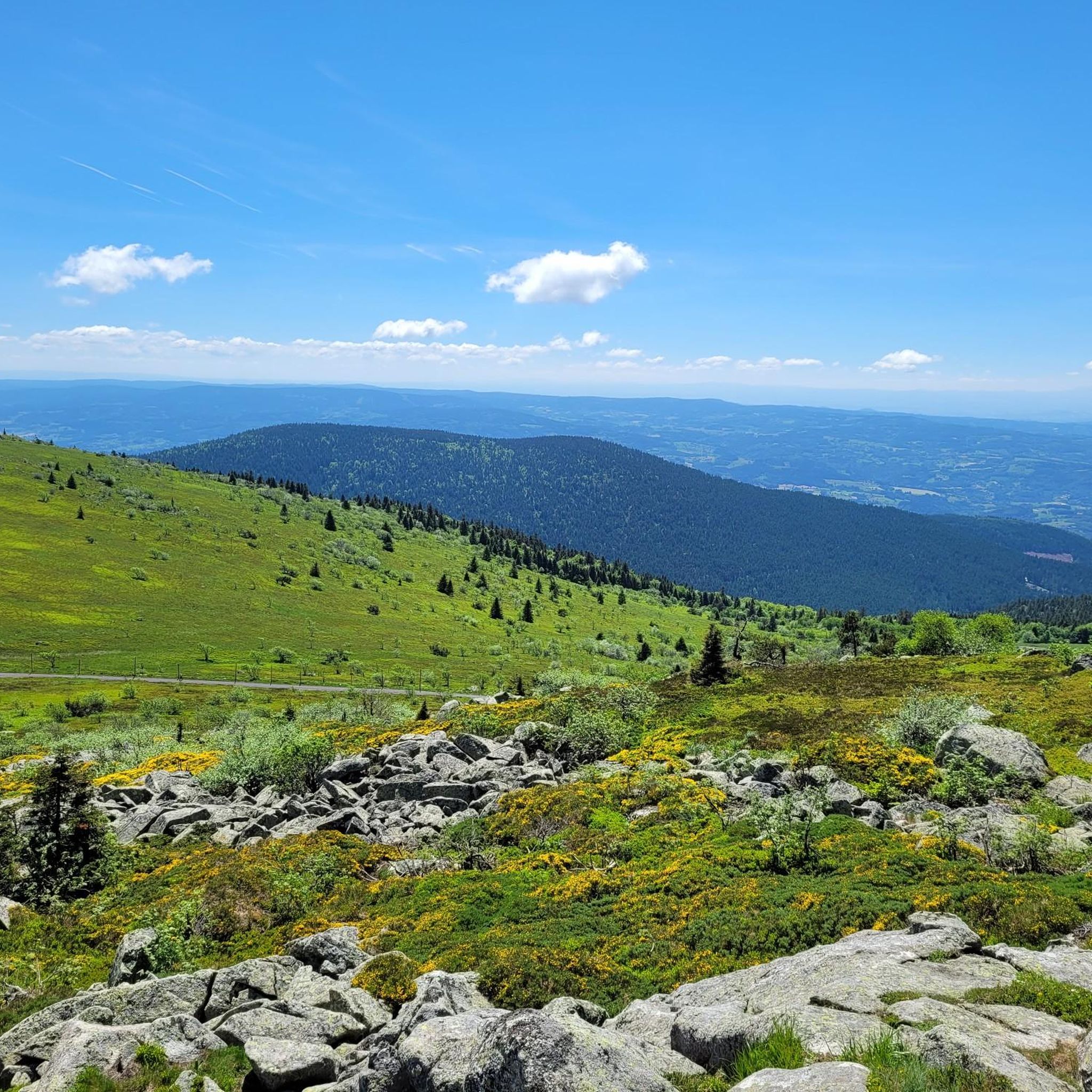
A breathtaking view of the Forez Mountains. A site that's well worth the effort...
0
0


A mountain village nestled at the foot of Pierre-Sur-Hâute. It's a crossroads that provides access to the Béal and Chansert mountain passes. Built on the Forezian mountainside, this village is sure to charm visitors with its typical architecture. But above all, it's the natural splendors of the landscape surrounding this village that make it worth the detour.
1
0
A breathtaking view that is worth the effort and wild landscapes! What a natural spectacle, wow! Undeniably one of the places not to be missed in Auvergne.
1
0
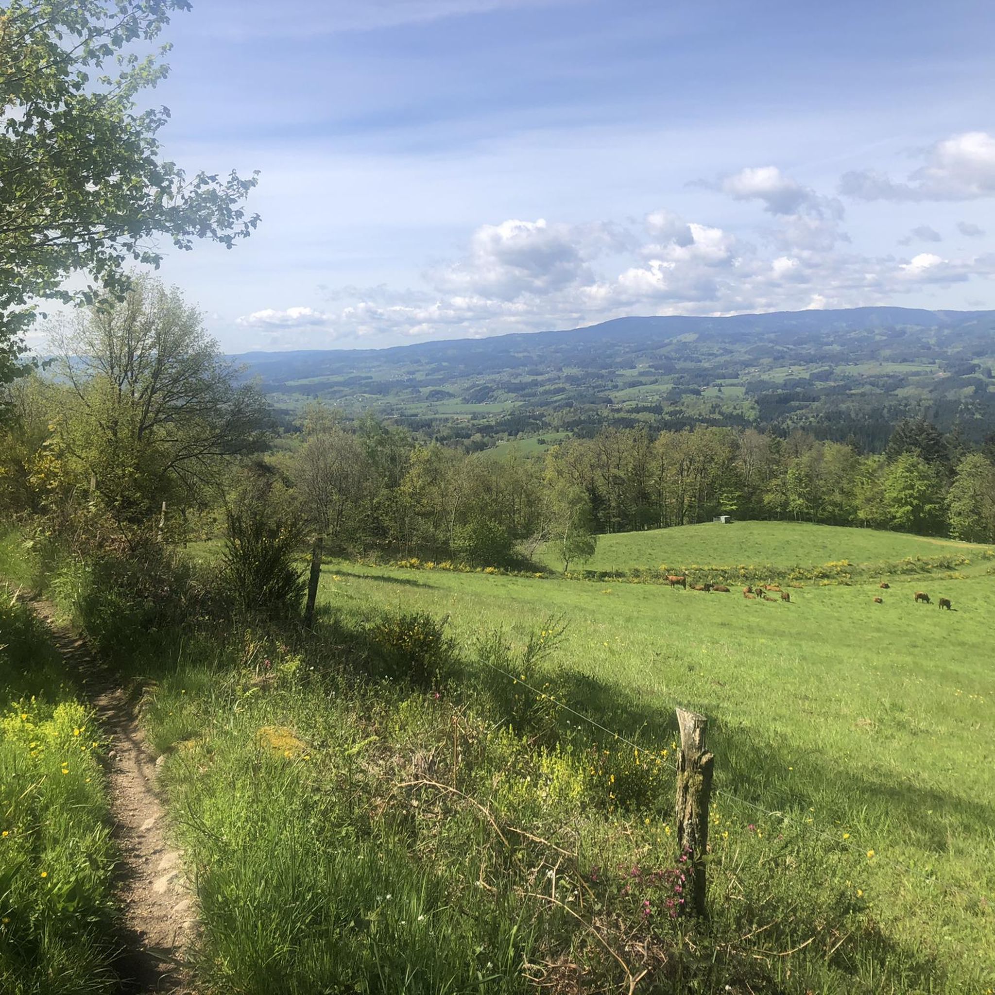
Charming mountain village with a lovely view of the surrounding hills.
0
0

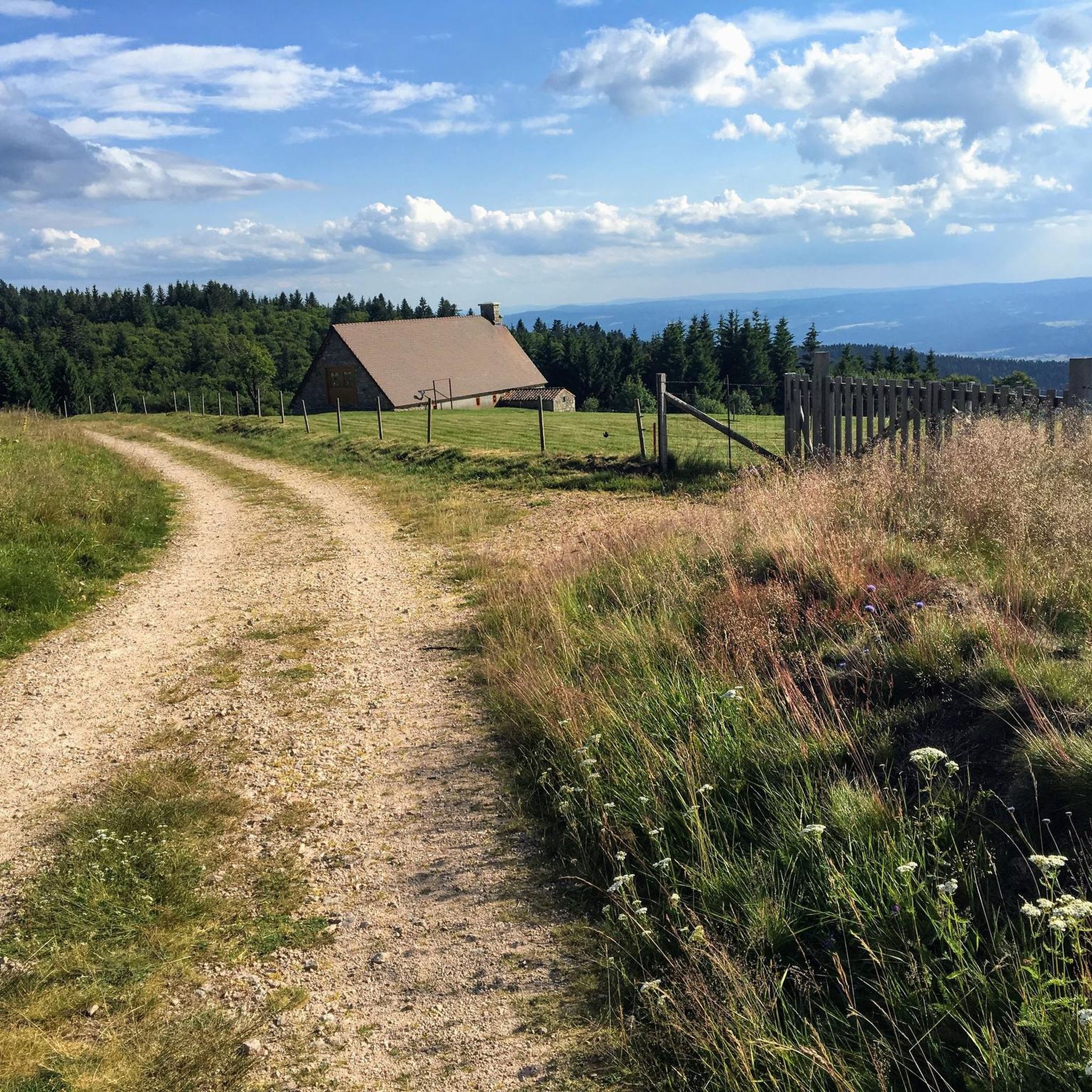
A nice little pass to do by bike between the Col du Beal and the Supeyres. We will pass through the Fossat valley
1
0

Frequently Asked Questions
How many road cycling routes are available around Bertignat?
There are over 160 road cycling routes around Bertignat, offering a wide range of options for different skill levels. You'll find everything from moderate loops to challenging mountain ascents within the Livradois-Forez Regional Natural Park.
What are the typical difficulty levels for road cycling routes in Bertignat?
The routes around Bertignat cater to various abilities. While there is one easy route, the majority are moderate (around 77 routes) or difficult (around 90 routes), reflecting the region's varied and often challenging terrain with significant ascents and descents.
What is the best time of year for road cycling in the Bertignat area?
The Livradois-Forez region, including Bertignat, is ideal for road cycling during spring, summer, and early autumn. These seasons offer the most favorable weather conditions for tackling the varied terrain, from valley roads to mountain passes like the Col du Béal. Winter conditions can be challenging, especially at higher elevations.
Are there any circular road cycling routes around Bertignat?
Yes, many of the road cycling routes around Bertignat are designed as loops, allowing you to start and finish in the same location. For example, the Fourches Pass - 970 m loop from Bertignat is a moderate circular route, and the more challenging Béal Pass – Auberge du Col du Béal loop from Vertolaye also forms a loop.
What interesting landmarks or natural features can I see while road cycling near Bertignat?
The region offers several notable sights. You can cycle towards the challenging Béal Pass, known for its panoramic views. The historic town of Medieval Ambert, with its unique round town hall, is also accessible. For a glimpse into local heritage, consider routes passing near the Richard-de-Bas Mill, a historic paper mill.
What do other road cyclists enjoy about the routes around Bertignat?
The road cycling routes in Bertignat are highly rated by the komoot community, with an average score of 4.9 stars from over 50 reviews. Cyclists frequently praise the diverse and challenging terrain, the picturesque country roads, and the dynamic ascents and descents through the Livradois-Forez mountains.
Are there family-friendly road cycling options near Bertignat?
While many routes in Bertignat feature challenging climbs, there are options suitable for families seeking a more relaxed ride. Look for routes categorized as 'easy' or 'moderate' with less elevation gain. The region's varied landscape means you can find quieter country roads away from major traffic.
Can I find cafes or restaurants along the road cycling routes in Bertignat?
Yes, the Livradois-Forez region has charming villages and towns where you can find cafes, pubs, and restaurants. Towns like Ambert, which is part of the Ambert – Saint-Jean Church loop from Marat, offer opportunities for refreshments and meals. It's always a good idea to check opening hours, especially in smaller hamlets.
Where can I park my car when starting a road cycling route in Bertignat?
Parking is generally available in the village of Bertignat itself, as well as in nearby towns and villages that serve as common starting points for routes. Look for designated parking areas in town centers or near trailheads. Specific parking details might be available on individual route descriptions on komoot.
Is public transport available to Bertignat for cyclists with bikes?
Public transport options to Bertignat with bicycle access can be limited. While regional buses might serve the area, their capacity for bicycles varies. It's advisable to check with local transport providers in the Puy-de-Dôme department for specific routes and bike policies if you plan to use public transport to reach your starting point.
Are there any specific permits required for road cycling in the Livradois-Forez Regional Natural Park?
Generally, no specific permits are required for road cycling on public roads within the Livradois-Forez Regional Natural Park. However, cyclists are expected to respect local regulations, private property, and the natural environment, especially when passing through protected areas or agricultural land.
What kind of terrain can I expect on road cycling routes around Bertignat?
The terrain around Bertignat is highly diverse. You'll encounter everything from the relatively flat Dore valley to the forested slopes of the Livradois and Forez mountains. Expect a mix of ascents and descents, including challenging climbs like those leading to the Col du Béal, and scenic stretches through picturesque villages and open landscapes.
Most popular attractions around Bertignat

Get inspired with the komoot mobile app


Explore more
Browse the best Road cycling routes in other regions.
